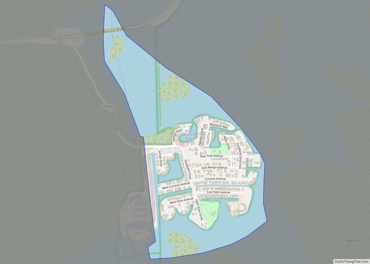
Goodland is a census-designated place (CDP) in Collier County, Florida, United States. The population was 267 at the 2010 census. It is part of the Naples–Marco Island Metropolitan Statistical Area. Located on the southeast portion of Marco Island, it is the closest community to Cape Romano, the southern tip of a nearby island that was the official site of the Florida landfall of Hurricane Wilma.
| Name: | Goodland CDP |
|---|---|
| LSAD Code: | 57 |
| LSAD Description: | CDP (suffix) |
| State: | Florida |
| County: | Collier County |
| Elevation: | 7 ft (2 m) |
| Total Area: | 0.38 sq mi (0.99 km²) |
| Land Area: | 0.15 sq mi (0.40 km²) |
| Water Area: | 0.23 sq mi (0.59 km²) |
| Total Population: | 312 |
| Population Density: | 2,025.97/sq mi (779.91/km²) |
| ZIP code: | 34140 |
| Area code: | 239 |
| FIPS code: | 1226775 |
| GNISfeature ID: | 0283178 |
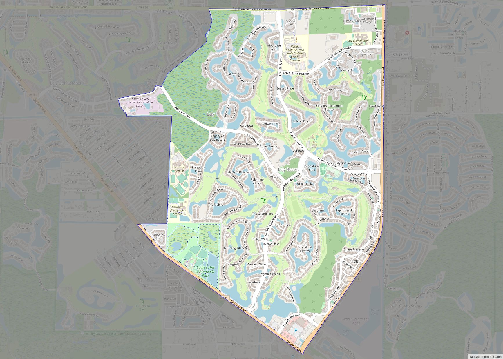
Online Interactive Map
Click on ![]() to view map in "full screen" mode.
to view map in "full screen" mode.
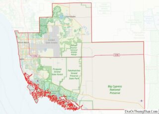
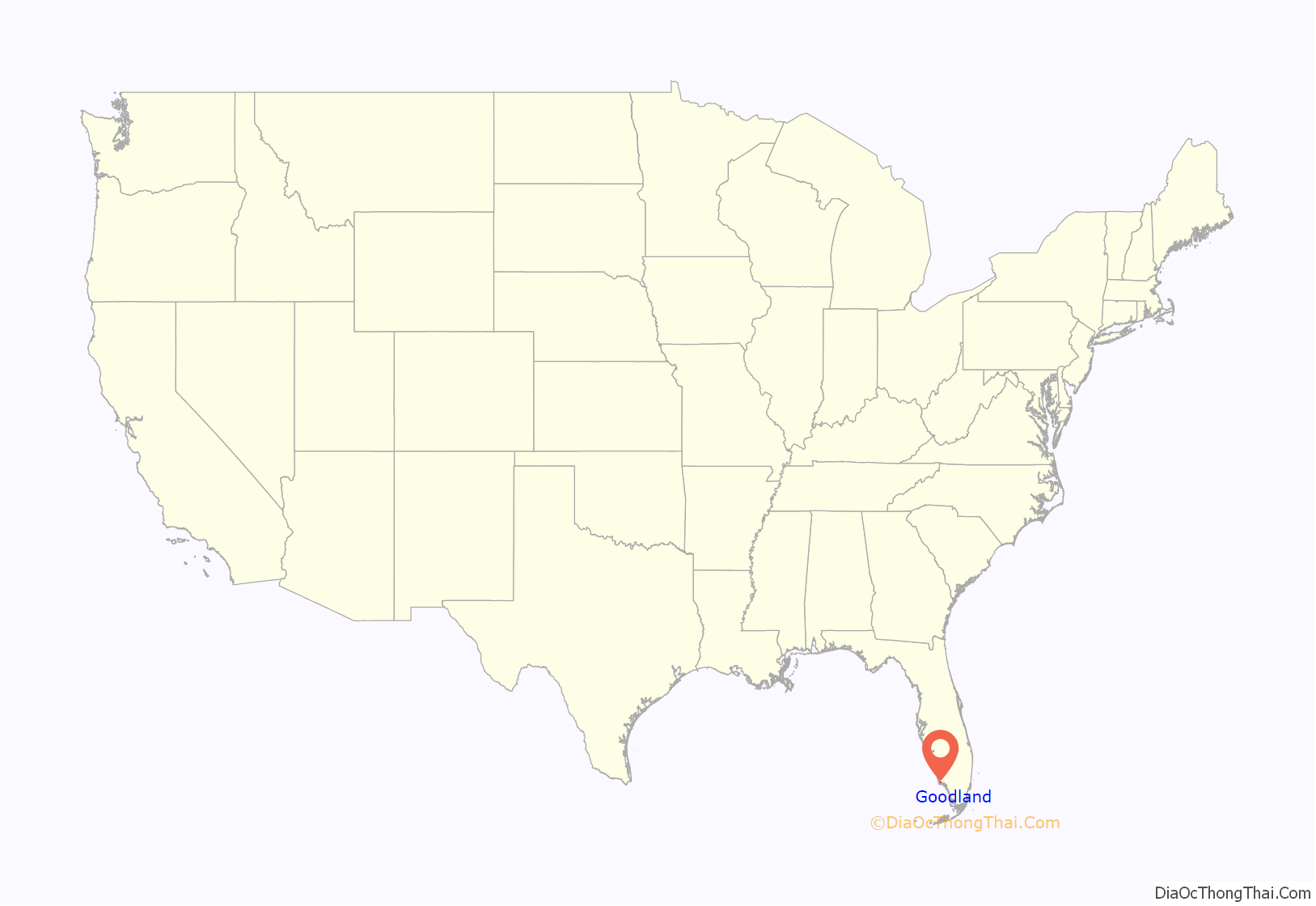
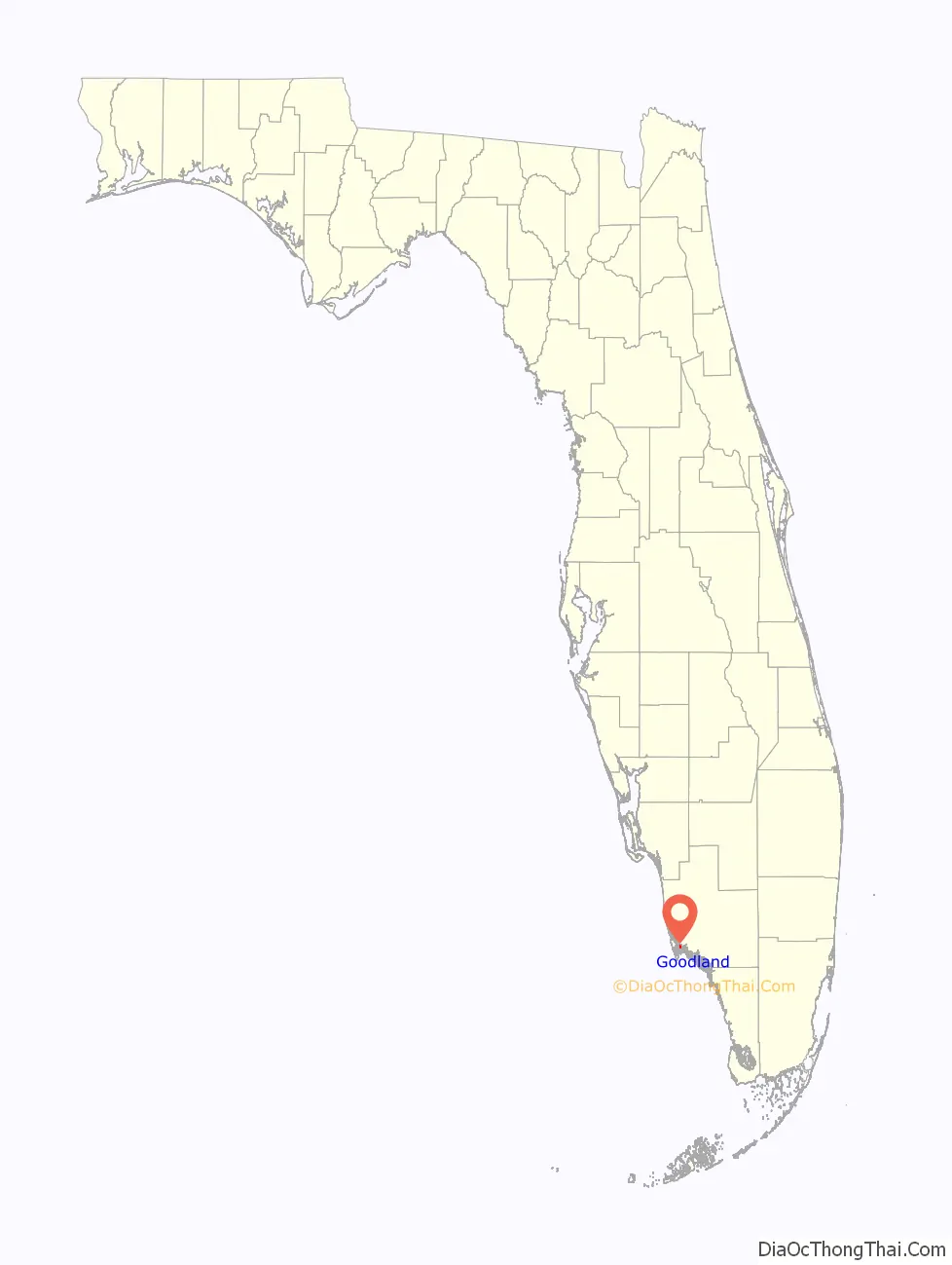
Goodland location map. Where is Goodland CDP?
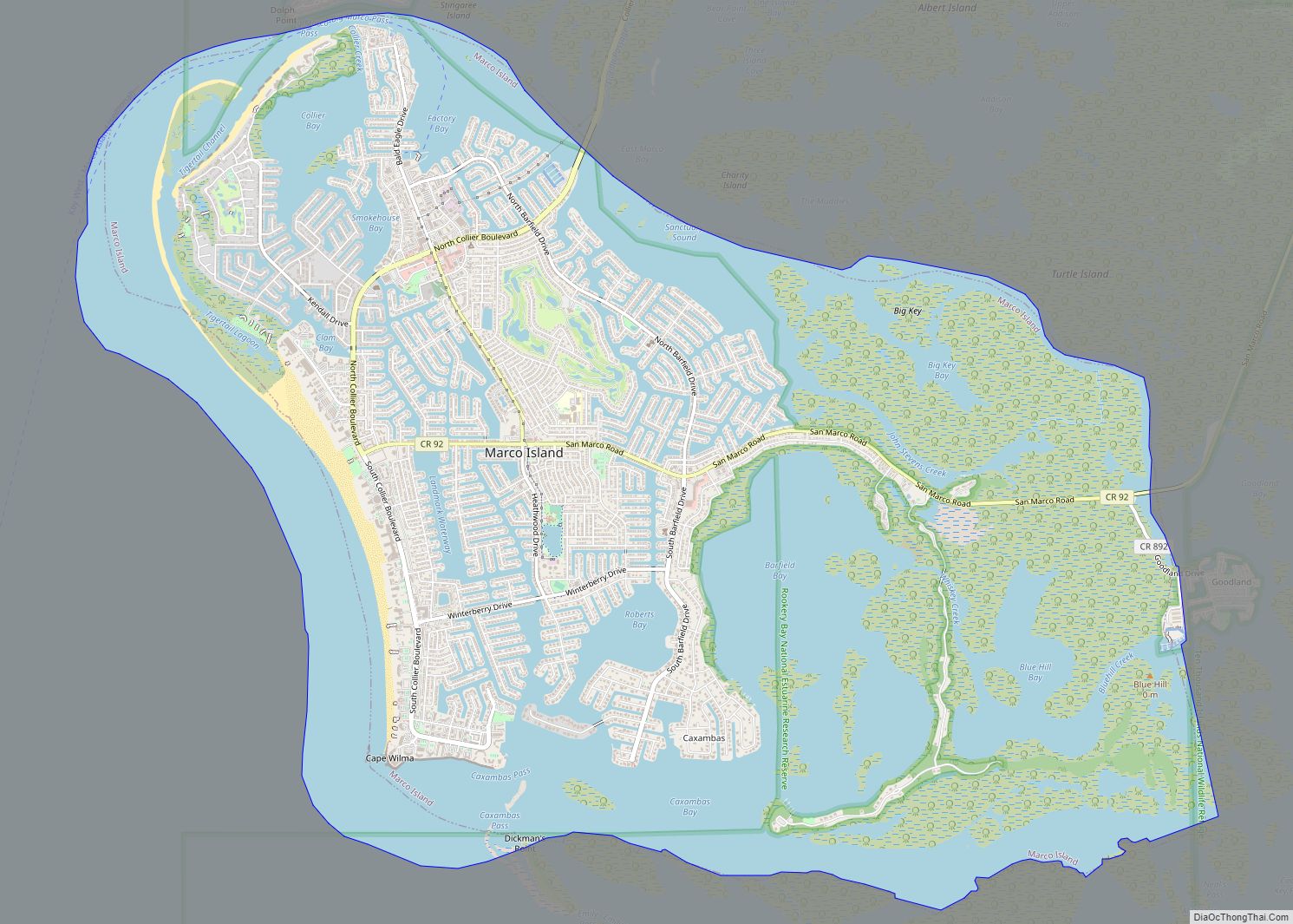
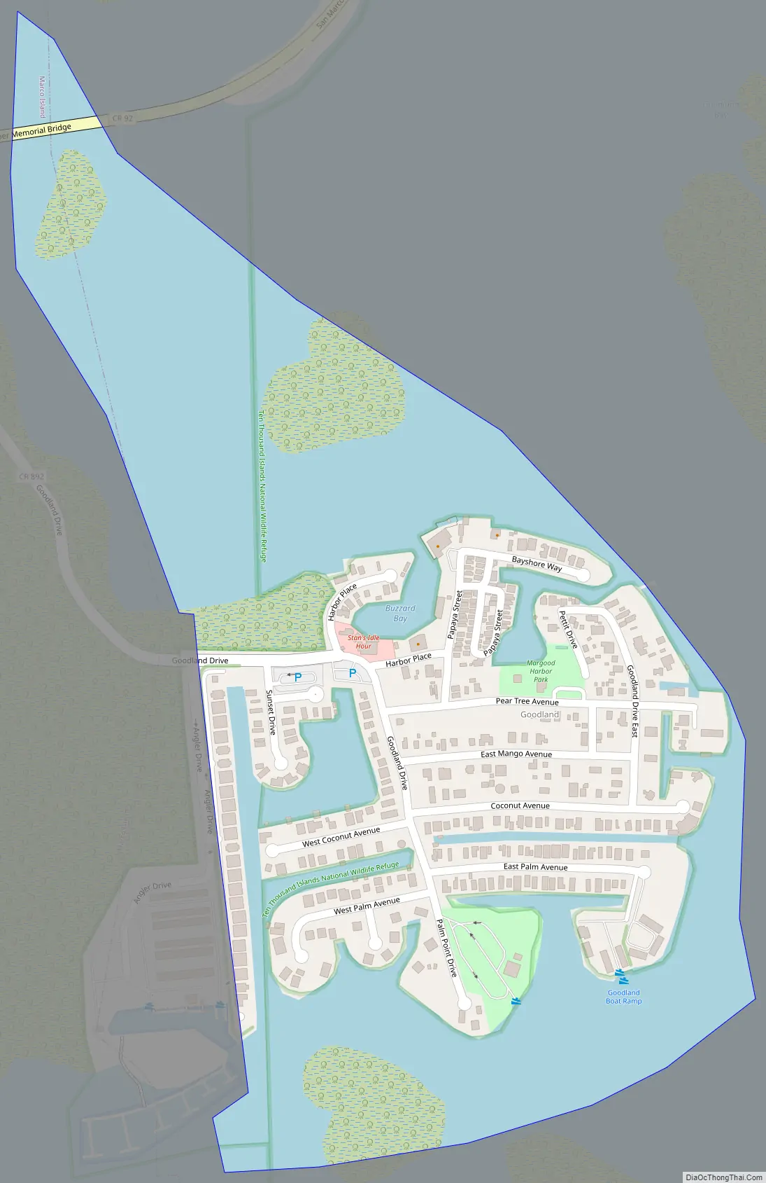
Goodland Road Map
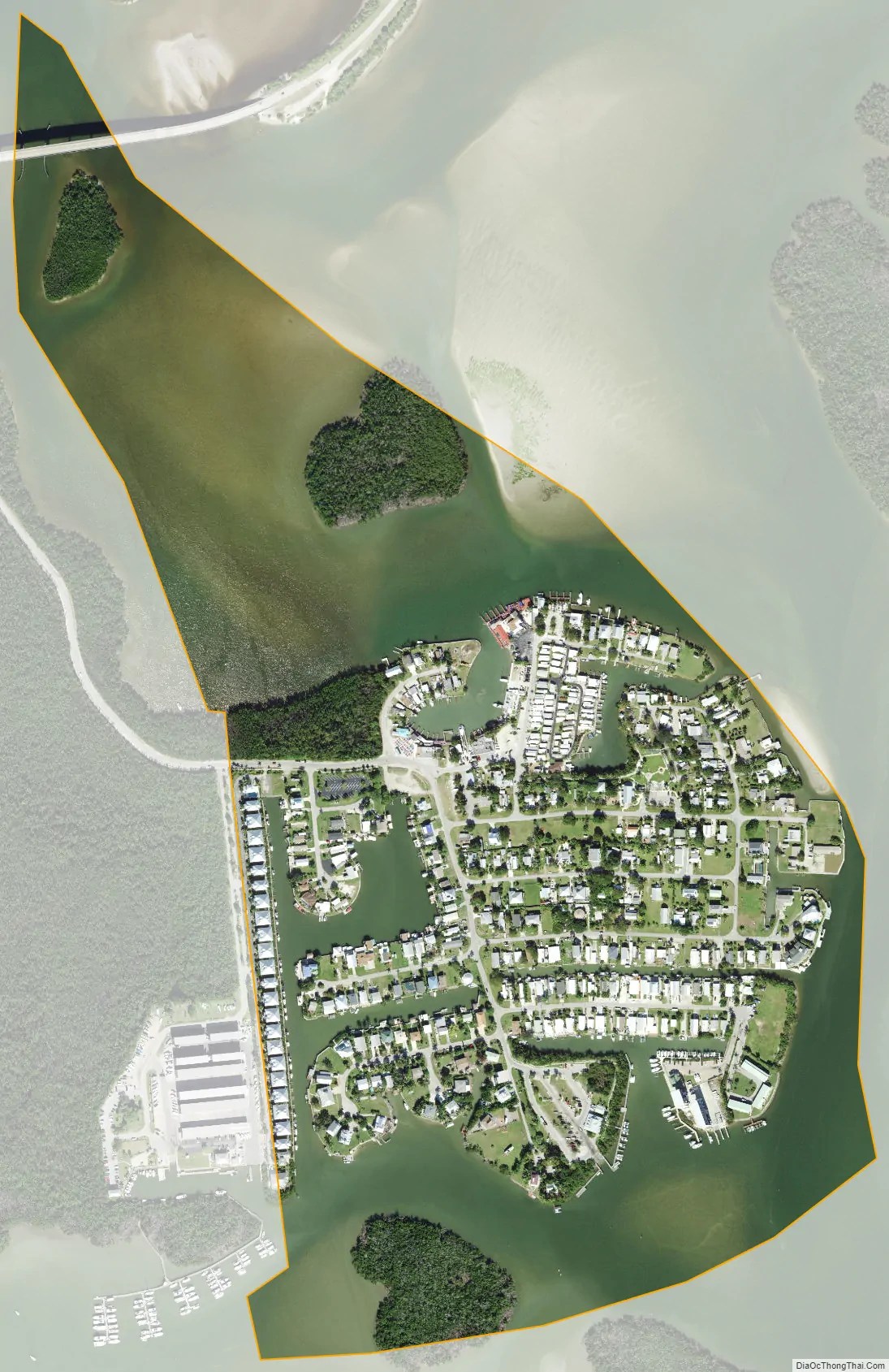
Goodland city Satellite Map
Geography
Goodland is located in southwestern Collier County at 25°55′28″N 81°38′49″W / 25.924478°N 81.646876°W / 25.924478; -81.646876. The beachfront city of Marco Island is 6 miles (10 km) to the west. Goodland is nearly surrounded by water, with Goodland Bay to the north, Coon Key Pass to the east, and Blue Hill Creek to the south. To the west, an artificial inlet of Blue Hill Creek separates Goodland from forested wetland within the city limits of Marco Island.
According to the United States Census Bureau, the Goodland CDP has a total area of 0.35 square miles (0.9 km), of which 0.15 square miles (0.4 km) is land and 0.19 square miles (0.5 km), or 57.47%, is water.
Goodland has a tropical savanna climate that consists of warm dry winters and hot humid summers. Wet season is from April 1 to September 30 and Dry season is from October 1 to March 31.
See also
Map of Florida State and its subdivision:- Alachua
- Baker
- Bay
- Bradford
- Brevard
- Broward
- Calhoun
- Charlotte
- Citrus
- Clay
- Collier
- Columbia
- Desoto
- Dixie
- Duval
- Escambia
- Flagler
- Franklin
- Gadsden
- Gilchrist
- Glades
- Gulf
- Hamilton
- Hardee
- Hendry
- Hernando
- Highlands
- Hillsborough
- Holmes
- Indian River
- Jackson
- Jefferson
- Lafayette
- Lake
- Lee
- Leon
- Levy
- Liberty
- Madison
- Manatee
- Marion
- Martin
- Miami-Dade
- Monroe
- Nassau
- Okaloosa
- Okeechobee
- Orange
- Osceola
- Palm Beach
- Pasco
- Pinellas
- Polk
- Putnam
- Saint Johns
- Saint Lucie
- Santa Rosa
- Sarasota
- Seminole
- Sumter
- Suwannee
- Taylor
- Union
- Volusia
- Wakulla
- Walton
- Washington
- Alabama
- Alaska
- Arizona
- Arkansas
- California
- Colorado
- Connecticut
- Delaware
- District of Columbia
- Florida
- Georgia
- Hawaii
- Idaho
- Illinois
- Indiana
- Iowa
- Kansas
- Kentucky
- Louisiana
- Maine
- Maryland
- Massachusetts
- Michigan
- Minnesota
- Mississippi
- Missouri
- Montana
- Nebraska
- Nevada
- New Hampshire
- New Jersey
- New Mexico
- New York
- North Carolina
- North Dakota
- Ohio
- Oklahoma
- Oregon
- Pennsylvania
- Rhode Island
- South Carolina
- South Dakota
- Tennessee
- Texas
- Utah
- Vermont
- Virginia
- Washington
- West Virginia
- Wisconsin
- Wyoming