Hampton is a city in Bradford County, Florida, United States. The population was 500 at the 2010 census.
| Name: | Hampton city |
|---|---|
| LSAD Code: | 25 |
| LSAD Description: | city (suffix) |
| State: | Florida |
| County: | Bradford County |
| Incorporated: | 1925 |
| Elevation: | 151 ft (46 m) |
| Total Area: | 1.05 sq mi (2.73 km²) |
| Land Area: | 1.05 sq mi (2.73 km²) |
| Water Area: | 0.00 sq mi (0.00 km²) |
| Total Population: | 432 |
| Population Density: | 409.87/sq mi (158.32/km²) |
| ZIP code: | 32044 |
| Area code: | 352 |
| FIPS code: | 1228575 |
| GNISfeature ID: | 0283671 |
| Website: | hamptonfl.com |
Online Interactive Map
Click on ![]() to view map in "full screen" mode.
to view map in "full screen" mode.
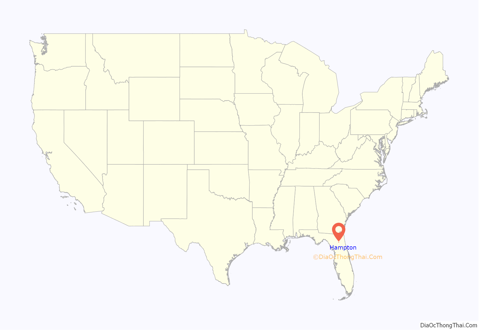
Hampton location map. Where is Hampton city?
History
Early history
Hampton was incorporated in 1925. At the time, it was at the junction of the Georgia Southern and Florida Railway and the Seaboard Air Line Railroad with stations for both.
In the mid 1990s, Hampton annexed a short stretch of U.S. Highway 301 west of the city in order to obtain revenue from traffic tickets issued to motorists driving on that highway. At the peak of this time before the dismantling of the police department, it had 1 officer per 25 residents.
2013–2014 controversies
In November 2013, the city’s mayor Barry Layne Moore was arrested for selling Oxycodone.
On February 10, 2014, auditors from the Florida Joint Legislative Auditing Committee presented 31 violations of state law, city charter and federal tax requirements to state legislators. The city made $211,328 ticketing people driving its 1,260 feet (380 m) of U.S. Highway 301 during 2012, giving the city an unenviable reputation as a “speed trap”. The committee asked State Attorney Bill Cervone to investigate any potential criminal activity and a number of state representatives and senators pursued the dissolution of Hampton. In the wake of the controversy, many city officials resigned. State legislators visited Hampton on March 28, 2014 to see if the issues had been solved. They agreed to let Hampton stay incorporated, because the city retracted the annexation of U.S. Highway 301 and decommissioned its police force. Hampton also accounted for budget shortfalls, and reformed its city council proceedings. The justification for the speed trap was deemed invalid from its inception by Reason magazine, which reported in May of 2022 that, “Many speed-trap towns defend their aggressive traffic enforcement on ostensible public safety grounds. But Hampton could not even make that sort of claim, since the highway was a mile away.”
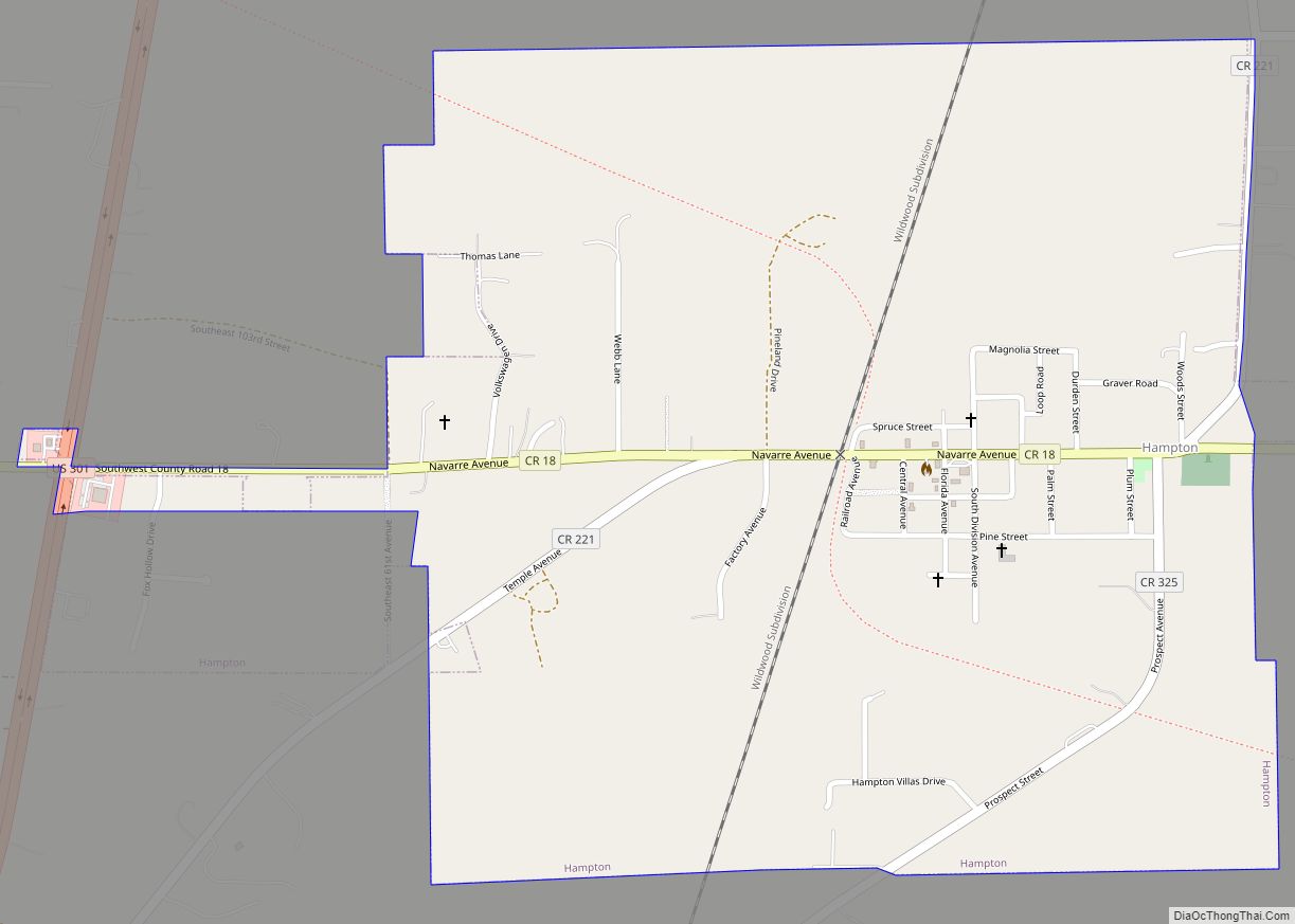
Hampton Road Map
Hampton city Satellite Map
Geography
Hampton is located in southern Bradford County at 29°51′51″N 82°8′12″W / 29.86417°N 82.13667°W / 29.86417; -82.13667 (29.864261, –82.136761). According to the United States Census Bureau, the city has a total area of 1.12 square miles (2.9 km), all land.
See also
Map of Florida State and its subdivision:- Alachua
- Baker
- Bay
- Bradford
- Brevard
- Broward
- Calhoun
- Charlotte
- Citrus
- Clay
- Collier
- Columbia
- Desoto
- Dixie
- Duval
- Escambia
- Flagler
- Franklin
- Gadsden
- Gilchrist
- Glades
- Gulf
- Hamilton
- Hardee
- Hendry
- Hernando
- Highlands
- Hillsborough
- Holmes
- Indian River
- Jackson
- Jefferson
- Lafayette
- Lake
- Lee
- Leon
- Levy
- Liberty
- Madison
- Manatee
- Marion
- Martin
- Miami-Dade
- Monroe
- Nassau
- Okaloosa
- Okeechobee
- Orange
- Osceola
- Palm Beach
- Pasco
- Pinellas
- Polk
- Putnam
- Saint Johns
- Saint Lucie
- Santa Rosa
- Sarasota
- Seminole
- Sumter
- Suwannee
- Taylor
- Union
- Volusia
- Wakulla
- Walton
- Washington
- Alabama
- Alaska
- Arizona
- Arkansas
- California
- Colorado
- Connecticut
- Delaware
- District of Columbia
- Florida
- Georgia
- Hawaii
- Idaho
- Illinois
- Indiana
- Iowa
- Kansas
- Kentucky
- Louisiana
- Maine
- Maryland
- Massachusetts
- Michigan
- Minnesota
- Mississippi
- Missouri
- Montana
- Nebraska
- Nevada
- New Hampshire
- New Jersey
- New Mexico
- New York
- North Carolina
- North Dakota
- Ohio
- Oklahoma
- Oregon
- Pennsylvania
- Rhode Island
- South Carolina
- South Dakota
- Tennessee
- Texas
- Utah
- Vermont
- Virginia
- Washington
- West Virginia
- Wisconsin
- Wyoming
