Lawtey is a city in Bradford County, Florida, United States. The population was 730 at the 2010 census, up from 656 in 2000.
The city has received national attention and earned the dubious distinction of being one of only two official speed traps designated by the American Automobile Association (the other being Waldo a few miles to the south). However, the label was removed by AAA in August 2018 after reforms by current police chief Shane Bennett.
| Name: | Lawtey city |
|---|---|
| LSAD Code: | 25 |
| LSAD Description: | city (suffix) |
| State: | Florida |
| County: | Bradford County |
| Elevation: | 162 ft (49.38 m) |
| Total Area: | 1.51 sq mi (3.92 km²) |
| Land Area: | 1.51 sq mi (3.92 km²) |
| Water Area: | 0.00 sq mi (0.00 km²) |
| Total Population: | 636 |
| Population Density: | 420.36/sq mi (162.32/km²) |
| ZIP code: | 32058 |
| Area code: | 904 |
| FIPS code: | 1239700 |
| GNISfeature ID: | 0285404 |
| Website: | www.lawtey-fl.com |
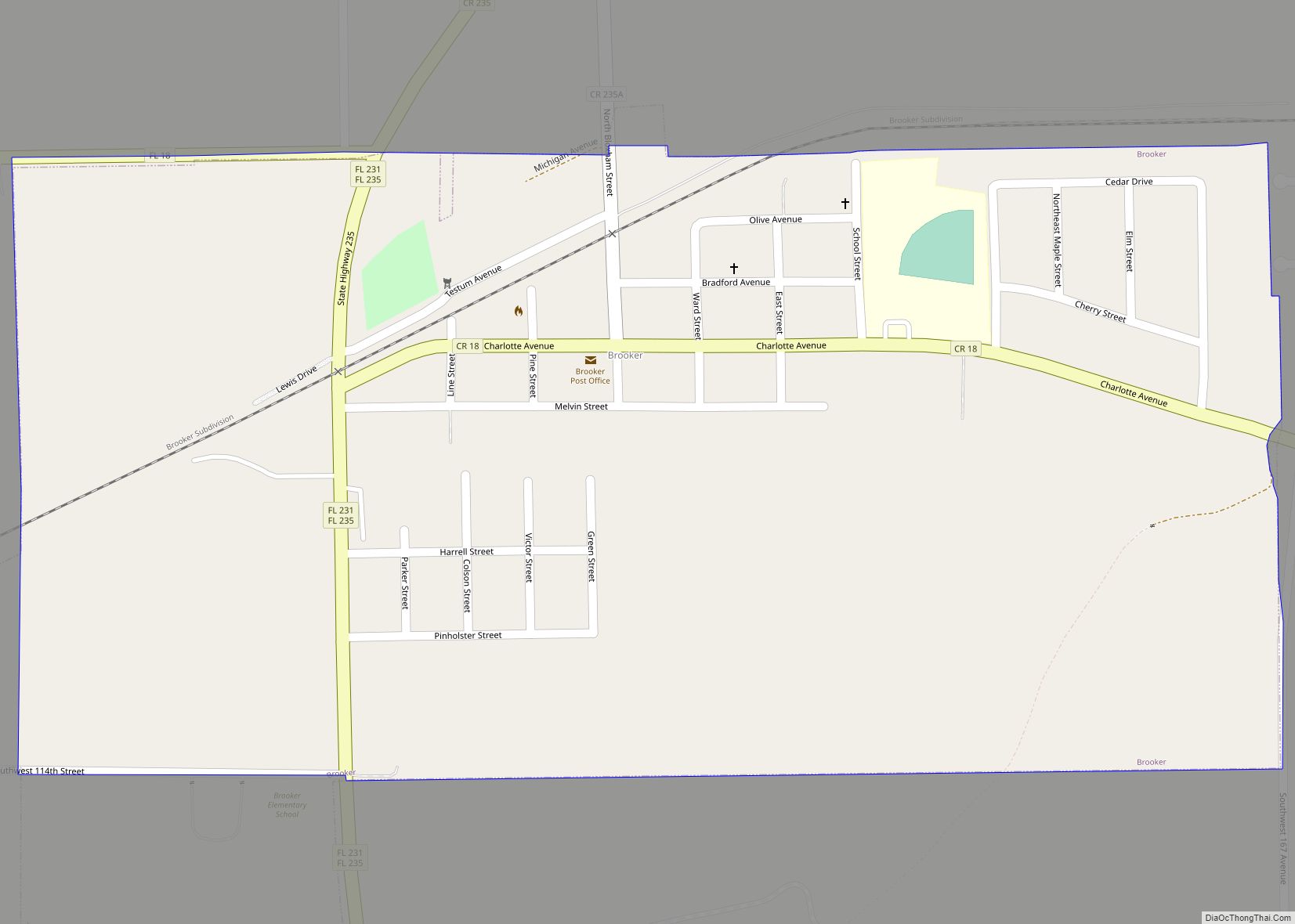
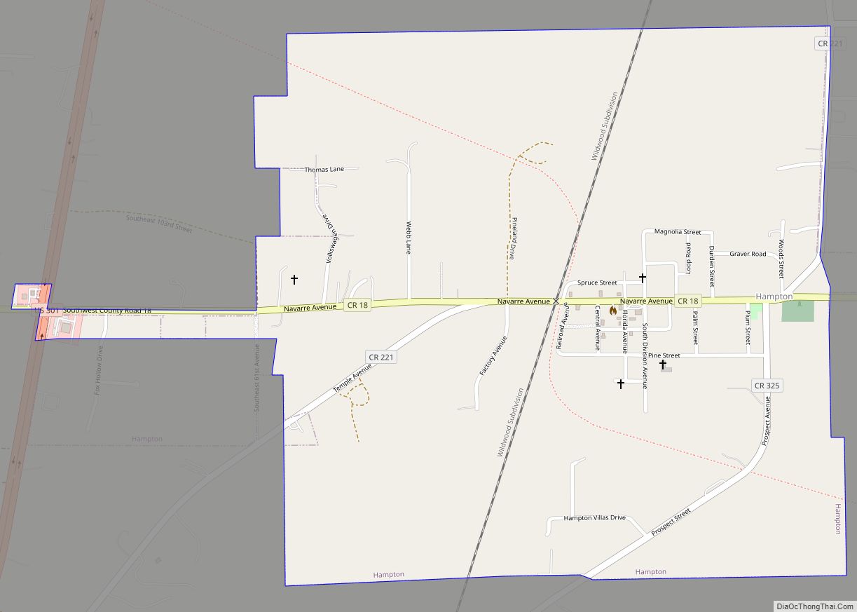
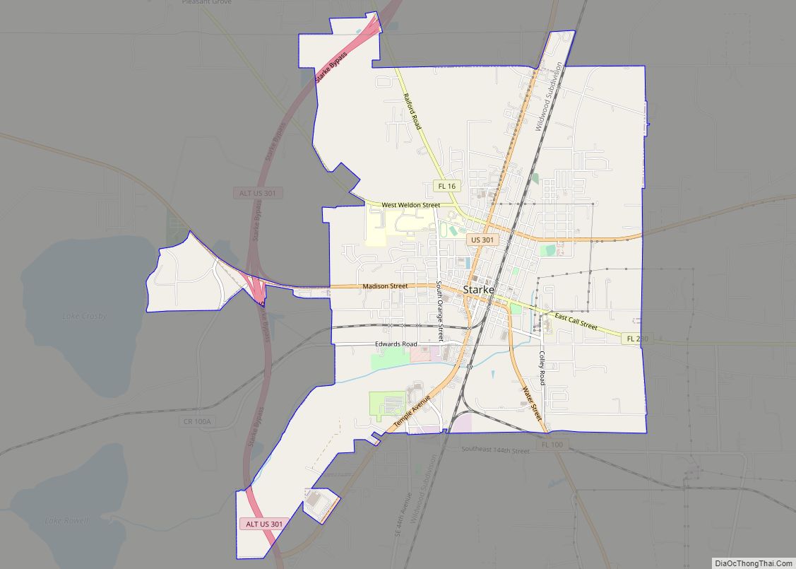
Online Interactive Map
Click on ![]() to view map in "full screen" mode.
to view map in "full screen" mode.
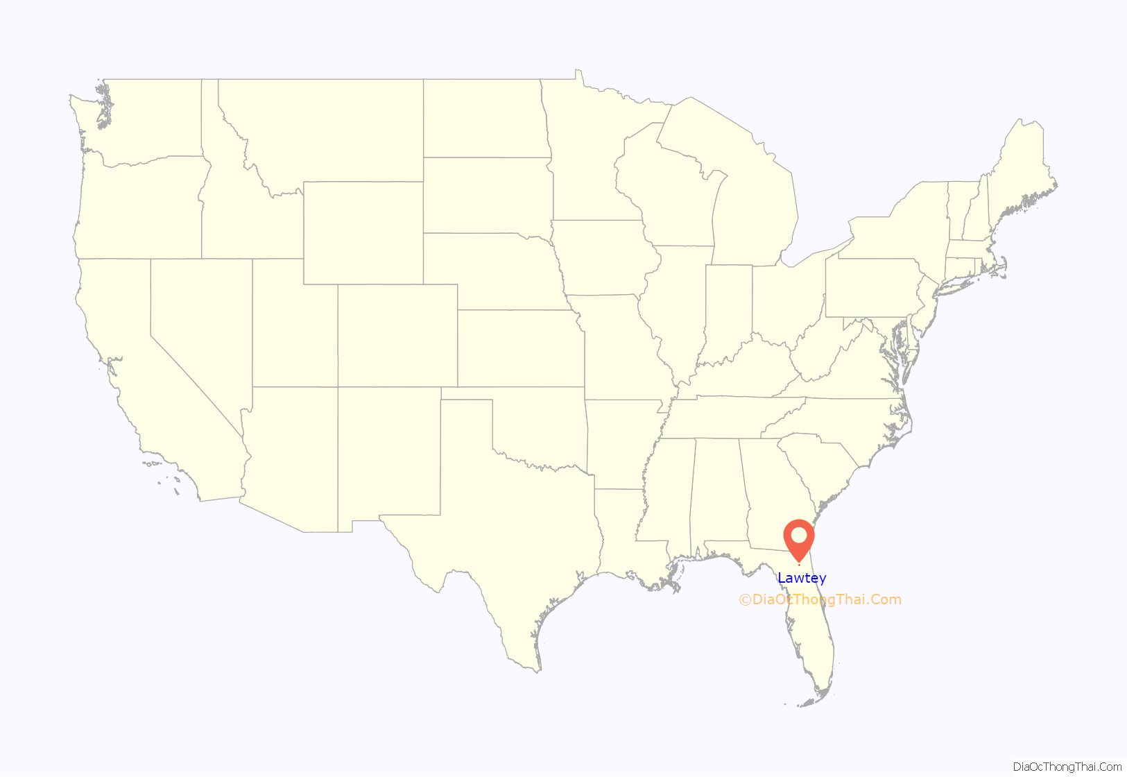
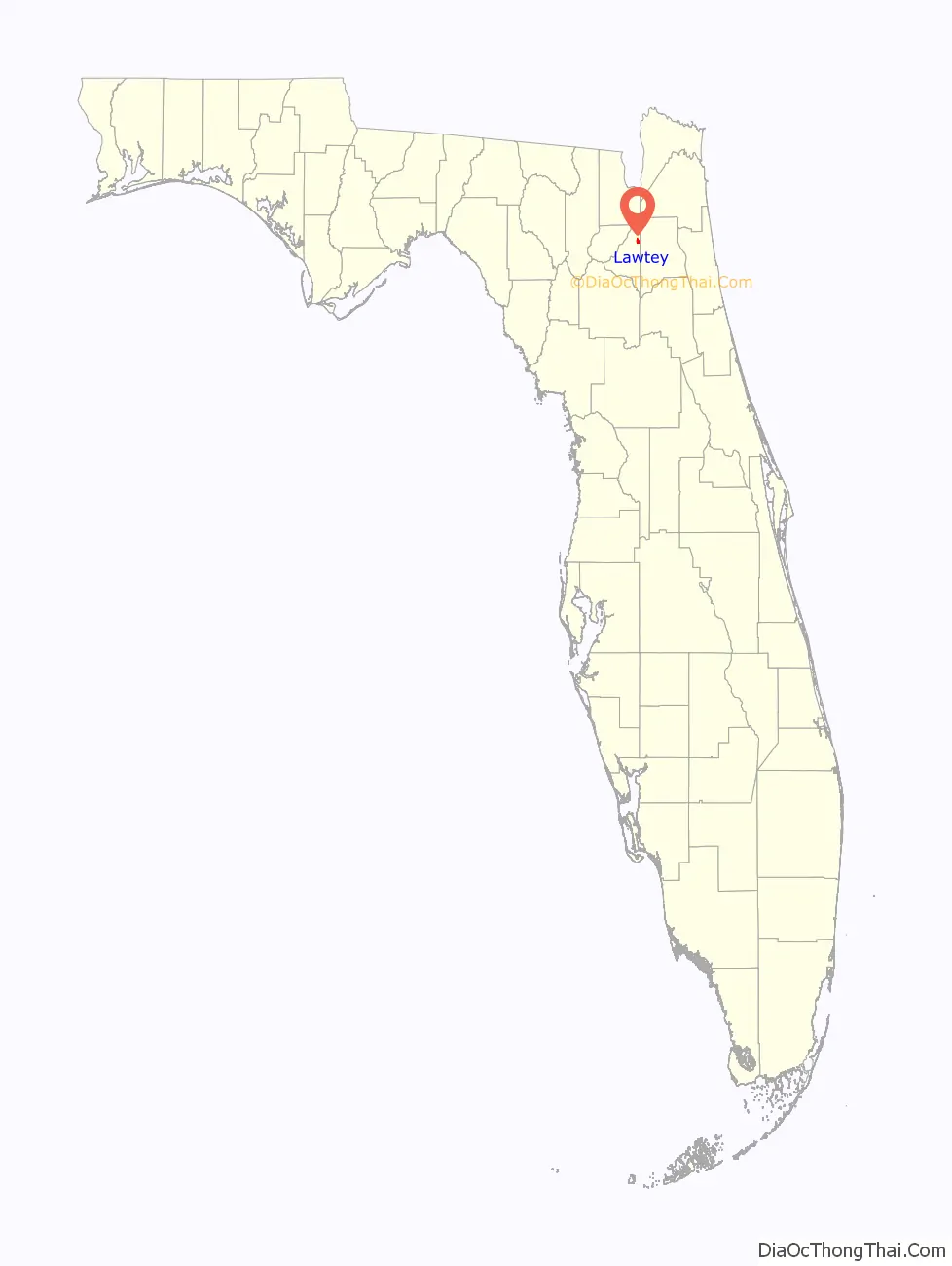
Lawtey location map. Where is Lawtey city?
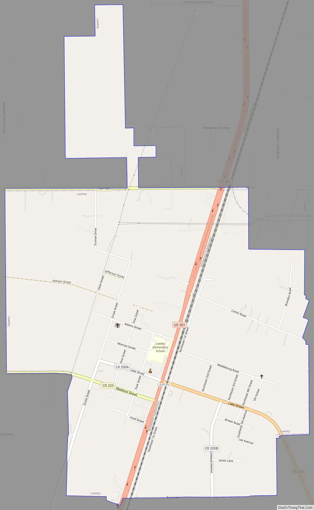
Lawtey Road Map
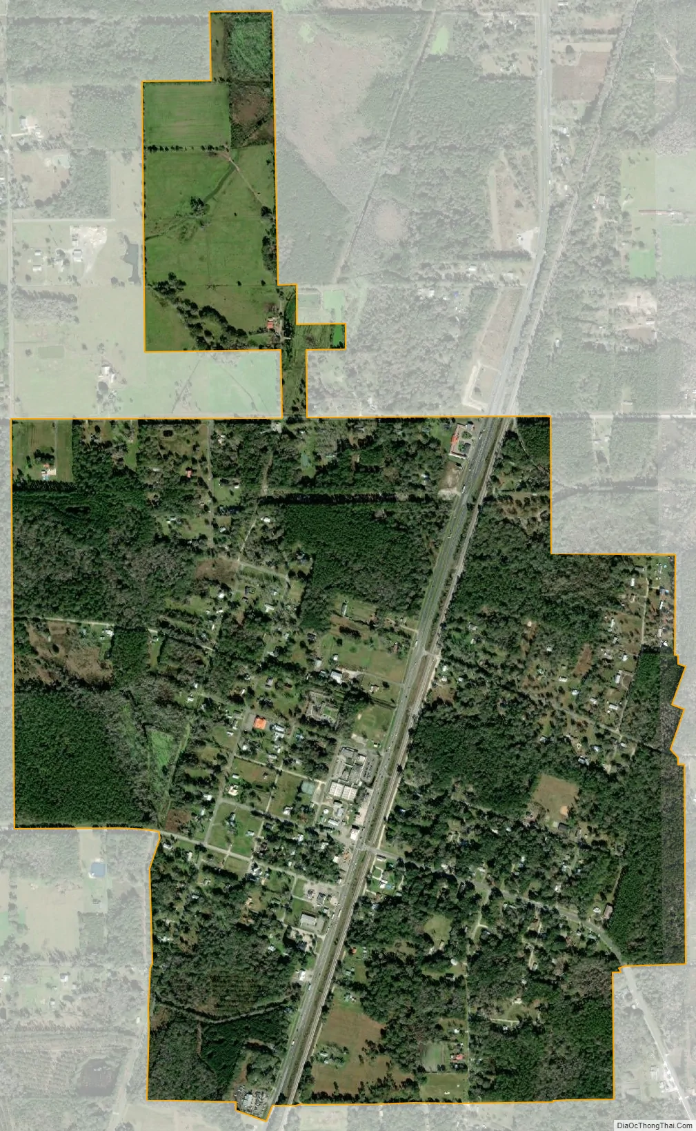
Lawtey city Satellite Map
Geography
Lawtey is located in northern Bradford County at 30°02′45″N 82°04′20″W / 30.045804°N 82.072127°W / 30.045804; -82.072127. It is 7 miles (11 km) north of the county seat, Starke, by U.S. Route 301. To the north it is 18 miles (29 km) to Interstate 10 at the town of Baldwin.
According to the United States Census Bureau, the city has a total area of 1.4 square miles (3.7 km), all land.
See also
Map of Florida State and its subdivision:- Alachua
- Baker
- Bay
- Bradford
- Brevard
- Broward
- Calhoun
- Charlotte
- Citrus
- Clay
- Collier
- Columbia
- Desoto
- Dixie
- Duval
- Escambia
- Flagler
- Franklin
- Gadsden
- Gilchrist
- Glades
- Gulf
- Hamilton
- Hardee
- Hendry
- Hernando
- Highlands
- Hillsborough
- Holmes
- Indian River
- Jackson
- Jefferson
- Lafayette
- Lake
- Lee
- Leon
- Levy
- Liberty
- Madison
- Manatee
- Marion
- Martin
- Miami-Dade
- Monroe
- Nassau
- Okaloosa
- Okeechobee
- Orange
- Osceola
- Palm Beach
- Pasco
- Pinellas
- Polk
- Putnam
- Saint Johns
- Saint Lucie
- Santa Rosa
- Sarasota
- Seminole
- Sumter
- Suwannee
- Taylor
- Union
- Volusia
- Wakulla
- Walton
- Washington
- Alabama
- Alaska
- Arizona
- Arkansas
- California
- Colorado
- Connecticut
- Delaware
- District of Columbia
- Florida
- Georgia
- Hawaii
- Idaho
- Illinois
- Indiana
- Iowa
- Kansas
- Kentucky
- Louisiana
- Maine
- Maryland
- Massachusetts
- Michigan
- Minnesota
- Mississippi
- Missouri
- Montana
- Nebraska
- Nevada
- New Hampshire
- New Jersey
- New Mexico
- New York
- North Carolina
- North Dakota
- Ohio
- Oklahoma
- Oregon
- Pennsylvania
- Rhode Island
- South Carolina
- South Dakota
- Tennessee
- Texas
- Utah
- Vermont
- Virginia
- Washington
- West Virginia
- Wisconsin
- Wyoming