Horizon West is a census-designated place and unincorporated area in Orange County, Florida, United States. The population was 14,000 at the 2010 census. It is part of the Orlando–Kissimmee–Sanford, Florida Metropolitan Statistical Area.
Horizon West includes five designated mixed-use villages, namely the Village of Bridgewater, Lakeside Village, Hickory Nut, Village I and Village F., surrounded by greenbelts as well as a town center. The concept was adopted in 1995 by Orange County. As of 2017, Horizon West can be considered one of the fast growing master-planned communities nationwide.
| Name: | Horizon West CDP |
|---|---|
| LSAD Code: | 57 |
| LSAD Description: | CDP (suffix) |
| State: | Florida |
| County: | Orange County |
| Elevation: | 125 ft (38 m) |
| Total Area: | 38.13 sq mi (98.75 km²) |
| Land Area: | 32.73 sq mi (84.78 km²) |
| Water Area: | 5.39 sq mi (13.97 km²) |
| Total Population: | 58,101 |
| Population Density: | 1,774.89/sq mi (685.28/km²) |
| Area code: | 407, 689 |
| FIPS code: | 1232610 |
Online Interactive Map
Click on ![]() to view map in "full screen" mode.
to view map in "full screen" mode.
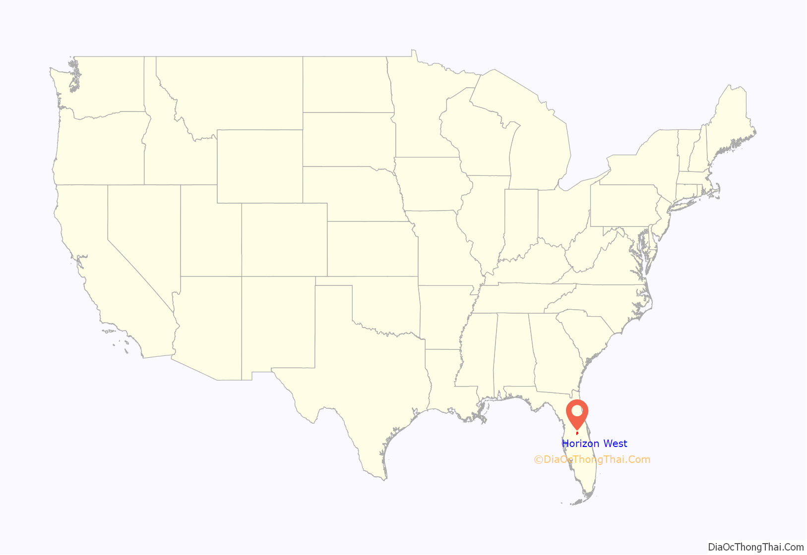
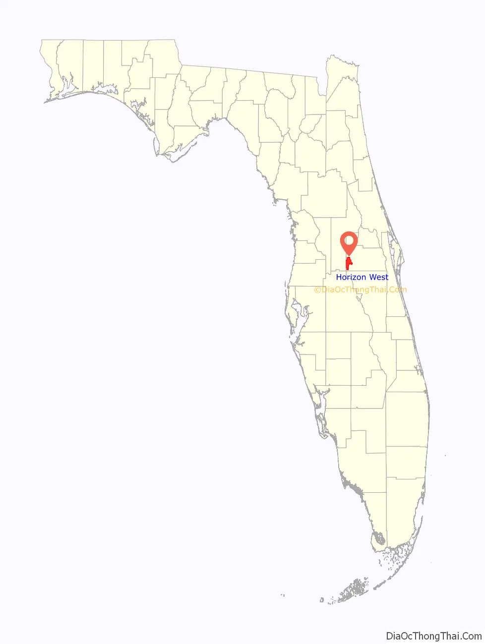
Horizon West location map. Where is Horizon West CDP?
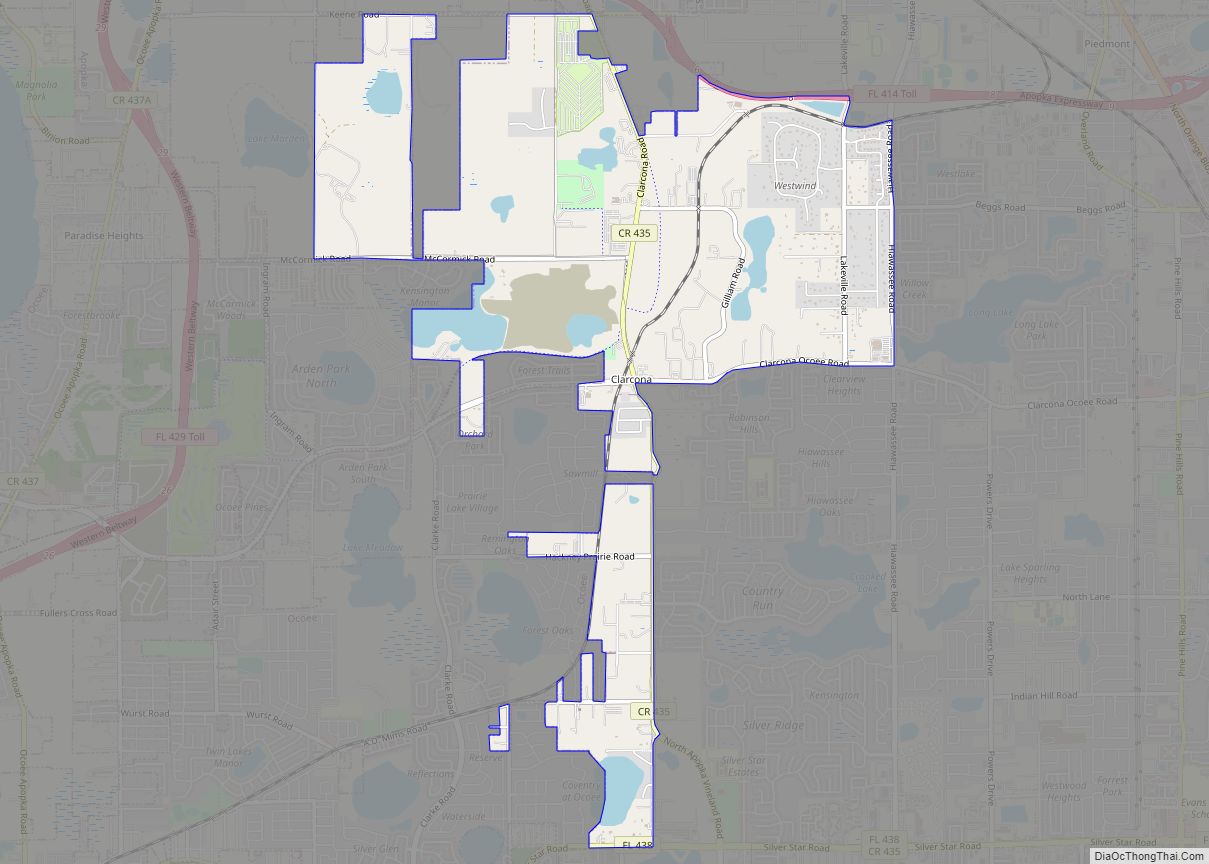
Horizon West Road Map

Horizon West city Satellite Map

Geography
Horizon West is located in southwestern Orange County, directly north of Walt Disney World Resort. It was a newly defined area as of the 2010 census. State Road 429, the Daniel Webster Western Beltway, runs through the CDP, connecting Ocoee to the north with Four Corners and Interstate 4 to the south.
According to the United States Census Bureau, the CDP has a total area of 38.1 square miles (98.6 km), of which 32.9 square miles (85.3 km) is land and 5.1 square miles (13.3 km), or 13.50%, is water.
See also
Map of Florida State and its subdivision:- Alachua
- Baker
- Bay
- Bradford
- Brevard
- Broward
- Calhoun
- Charlotte
- Citrus
- Clay
- Collier
- Columbia
- Desoto
- Dixie
- Duval
- Escambia
- Flagler
- Franklin
- Gadsden
- Gilchrist
- Glades
- Gulf
- Hamilton
- Hardee
- Hendry
- Hernando
- Highlands
- Hillsborough
- Holmes
- Indian River
- Jackson
- Jefferson
- Lafayette
- Lake
- Lee
- Leon
- Levy
- Liberty
- Madison
- Manatee
- Marion
- Martin
- Miami-Dade
- Monroe
- Nassau
- Okaloosa
- Okeechobee
- Orange
- Osceola
- Palm Beach
- Pasco
- Pinellas
- Polk
- Putnam
- Saint Johns
- Saint Lucie
- Santa Rosa
- Sarasota
- Seminole
- Sumter
- Suwannee
- Taylor
- Union
- Volusia
- Wakulla
- Walton
- Washington
- Alabama
- Alaska
- Arizona
- Arkansas
- California
- Colorado
- Connecticut
- Delaware
- District of Columbia
- Florida
- Georgia
- Hawaii
- Idaho
- Illinois
- Indiana
- Iowa
- Kansas
- Kentucky
- Louisiana
- Maine
- Maryland
- Massachusetts
- Michigan
- Minnesota
- Mississippi
- Missouri
- Montana
- Nebraska
- Nevada
- New Hampshire
- New Jersey
- New Mexico
- New York
- North Carolina
- North Dakota
- Ohio
- Oklahoma
- Oregon
- Pennsylvania
- Rhode Island
- South Carolina
- South Dakota
- Tennessee
- Texas
- Utah
- Vermont
- Virginia
- Washington
- West Virginia
- Wisconsin
- Wyoming