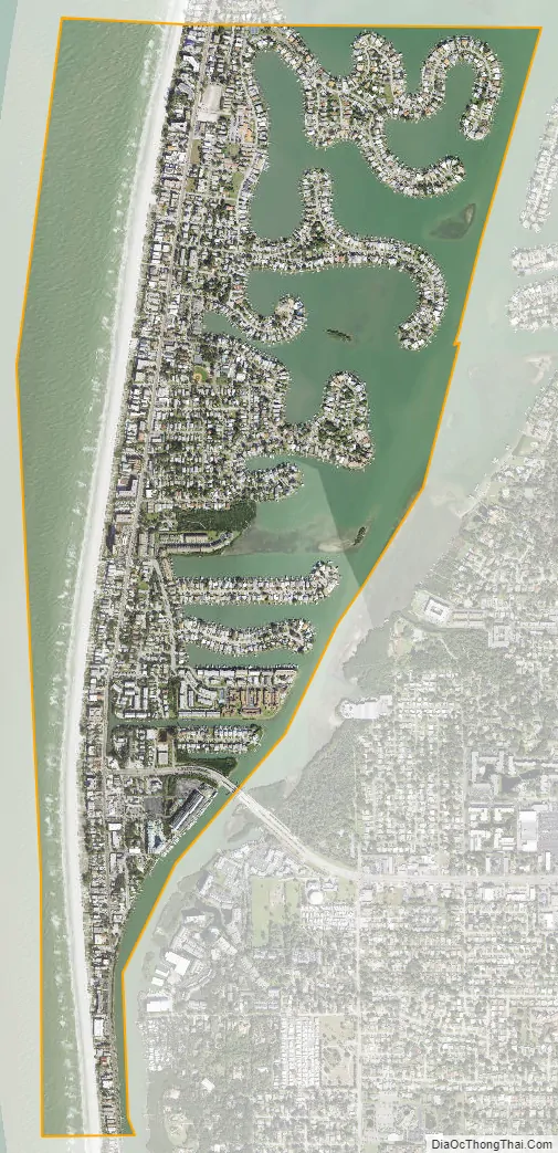
Indian Rocks Beach, or IRB, is a city in Pinellas County, Florida, United States. The population was 4,286 at the 2018 census. Indian Rocks Beach is part of the Tampa-St. Petersburg-Clearwater, FL Metropolitan Statistical Area. Located on the barrier island Sand Key, it has over two miles of beach along the Gulf of Mexico, with 26 public beach accesses.
| Name: | Indian Rocks Beach city |
|---|---|
| LSAD Code: | 25 |
| LSAD Description: | city (suffix) |
| State: | Florida |
| County: | Pinellas County |
| Elevation: | 9 ft (3 m) |
| Total Area: | 1.89 sq mi (4.90 km²) |
| Land Area: | 0.84 sq mi (2.19 km²) |
| Water Area: | 1.05 sq mi (2.71 km²) |
| Total Population: | 3,673 |
| Population Density: | 4,346.75/sq mi (1,678.80/km²) |
| ZIP code: | 33785-33786 |
| Area code: | 727 |
| FIPS code: | 1233625 |
| GNISfeature ID: | 0284535 |
| Website: | www.indian-rocks-beach.com |
Online Interactive Map
Click on ![]() to view map in "full screen" mode.
to view map in "full screen" mode.
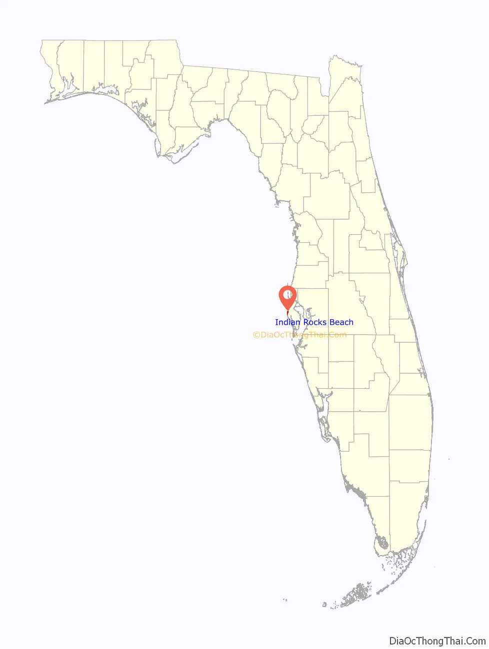
Indian Rocks Beach location map. Where is Indian Rocks Beach city?
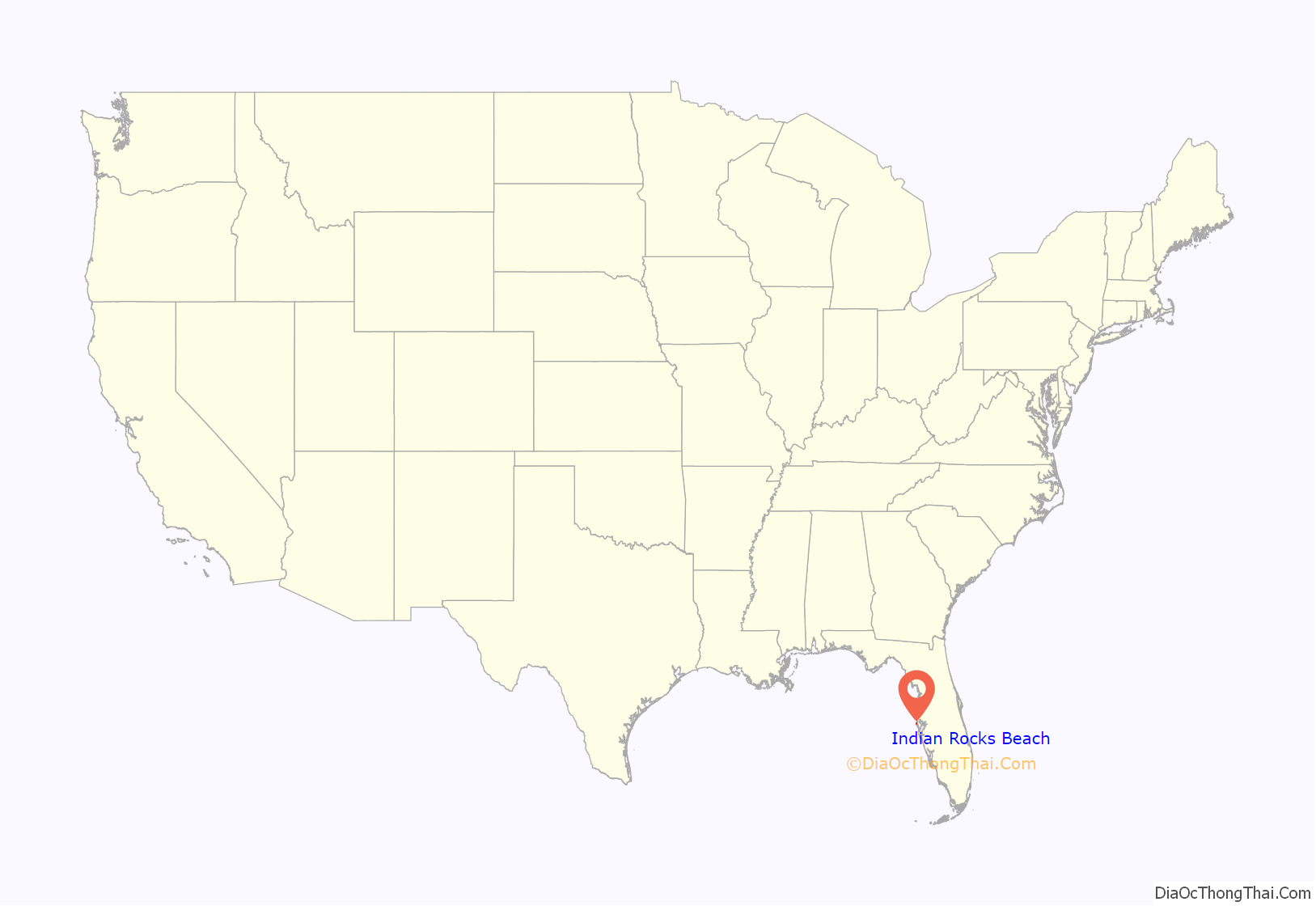
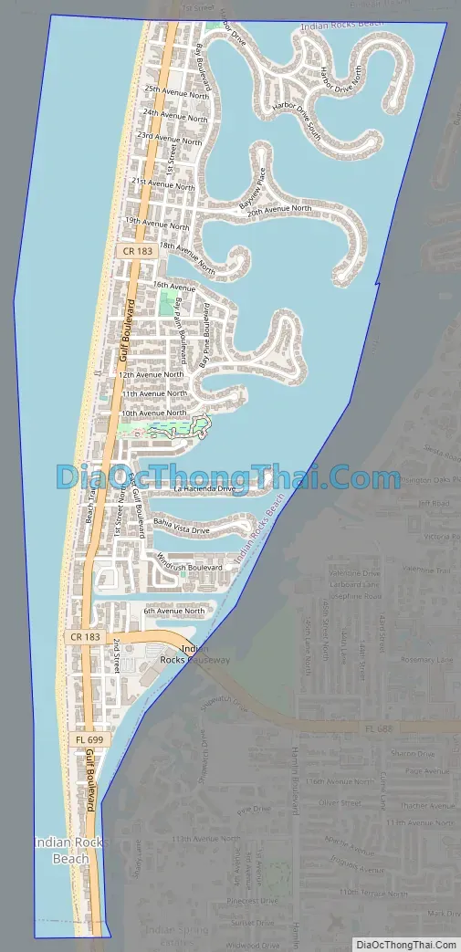
Indian Rocks Beach Road Map
Indian Rocks Beach city Satellite Map
Geography
Indian Rocks Beach is located at 27°53′45″N 82°50′51″W / 27.89583°N 82.84750°W / 27.89583; -82.84750 (27.895799, –82.847550). It lies on a barrier island between the Gulf of Mexico and the Intracoastal Waterway. It is north of Indian Shores and south of Belleair Shore and Belleair Beach. Tourism is its primary industry. It was incorporated in 1956.
According to the United States Census Bureau, the city has a total area of 1.4 square miles (3.6 km), of which 0.9 square miles (2.3 km) is land and 0.5 square miles (1.3 km) (33.09%) is water.
See also
Map of Florida State and its subdivision:- Alachua
- Baker
- Bay
- Bradford
- Brevard
- Broward
- Calhoun
- Charlotte
- Citrus
- Clay
- Collier
- Columbia
- Desoto
- Dixie
- Duval
- Escambia
- Flagler
- Franklin
- Gadsden
- Gilchrist
- Glades
- Gulf
- Hamilton
- Hardee
- Hendry
- Hernando
- Highlands
- Hillsborough
- Holmes
- Indian River
- Jackson
- Jefferson
- Lafayette
- Lake
- Lee
- Leon
- Levy
- Liberty
- Madison
- Manatee
- Marion
- Martin
- Miami-Dade
- Monroe
- Nassau
- Okaloosa
- Okeechobee
- Orange
- Osceola
- Palm Beach
- Pasco
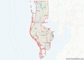
- Pinellas
- Polk
- Putnam
- Saint Johns
- Saint Lucie
- Santa Rosa
- Sarasota
- Seminole
- Sumter
- Suwannee
- Taylor
- Union
- Volusia
- Wakulla
- Walton
- Washington
- Alabama
- Alaska
- Arizona
- Arkansas
- California
- Colorado
- Connecticut
- Delaware
- District of Columbia
- Florida
- Georgia
- Hawaii
- Idaho
- Illinois
- Indiana
- Iowa
- Kansas
- Kentucky
- Louisiana
- Maine
- Maryland
- Massachusetts
- Michigan
- Minnesota
- Mississippi
- Missouri
- Montana
- Nebraska
- Nevada
- New Hampshire
- New Jersey
- New Mexico
- New York
- North Carolina
- North Dakota
- Ohio
- Oklahoma
- Oregon
- Pennsylvania
- Rhode Island
- South Carolina
- South Dakota
- Tennessee
- Texas
- Utah
- Vermont
- Virginia
- Washington
- West Virginia
- Wisconsin
- Wyoming