Islamorada (also sometimes Islas Morada) is an incorporated village in Monroe County, Florida, United States. It is located directly between Miami and Key West on five islands—Tea Table Key, Lower Matecumbe Key, Upper Matecumbe Key, Windley Key and Plantation Key—in the Florida Keys. As of the 2020 census, the village had a population of 7,107, up from 6,119 in 2010.
| Name: | Islamorada, Village of Islands village |
|---|---|
| LSAD Code: | 47 |
| LSAD Description: | village (suffix) |
| State: | Florida |
| County: | Monroe County |
| Total Area: | 6.70 sq mi (17.35 km²) |
| Land Area: | 6.45 sq mi (16.70 km²) |
| Water Area: | 0.25 sq mi (0.65 km²) |
| Total Population: | 7,107 |
| Population Density: | 1,102.03/sq mi (425.48/km²) |
| ZIP code: | 33036, 33070 |
| Area code: | 305 |
| FIPS code: | 1234132 |
| Website: | www.islamorada.fl.us |
Online Interactive Map
Click on ![]() to view map in "full screen" mode.
to view map in "full screen" mode.
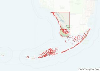
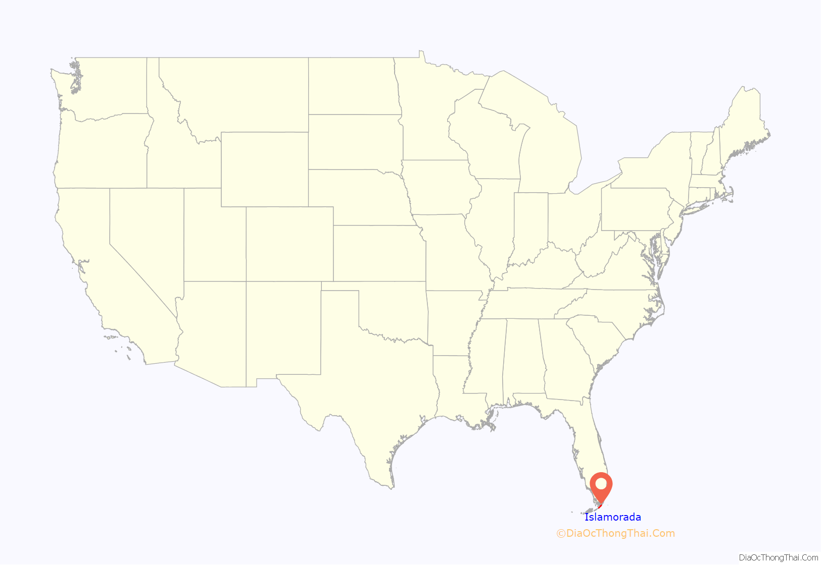
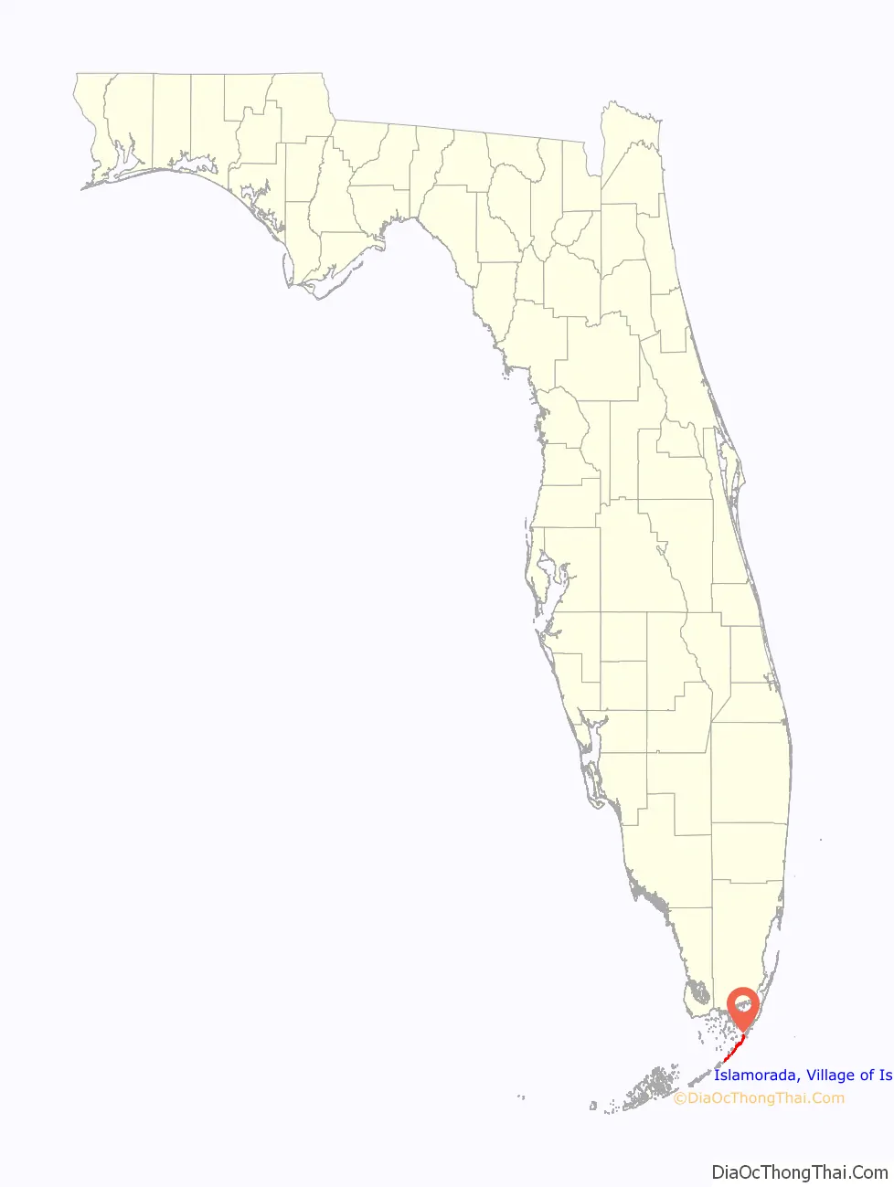
Islamorada location map. Where is Islamorada, Village of Islands village?
History
The name Islamorada (Spanish pronunciation: [ˈisla moˈɾaða]), “purple island”, came from early Spanish explorers in the area.
Islamorada was the location of one of the stations of the Overseas Railroad.
Islamorada was hit almost directly by the Labor Day Hurricane of 1935, causing 423 deaths. A memorial, including the ashes of over 300 victims, exists today at Overseas Highway mile marker 82.
Hall of Fame baseball player Ted Williams began visiting Islamorada in 1943 and for the next 45 years was the island’s most well-known resident. After his retirement from baseball he became the national spokesman for Sears sporting goods, and became renowned for his abilities as a fisherman. Over the decades, he hosted numerous celebrities at his Islamorada house and took them on local fishing trips.
The village was incorporated on December 31, 1997. Prior to this date, “Islamorada” referred to the evolving community island of Upper Matecumbe Key.
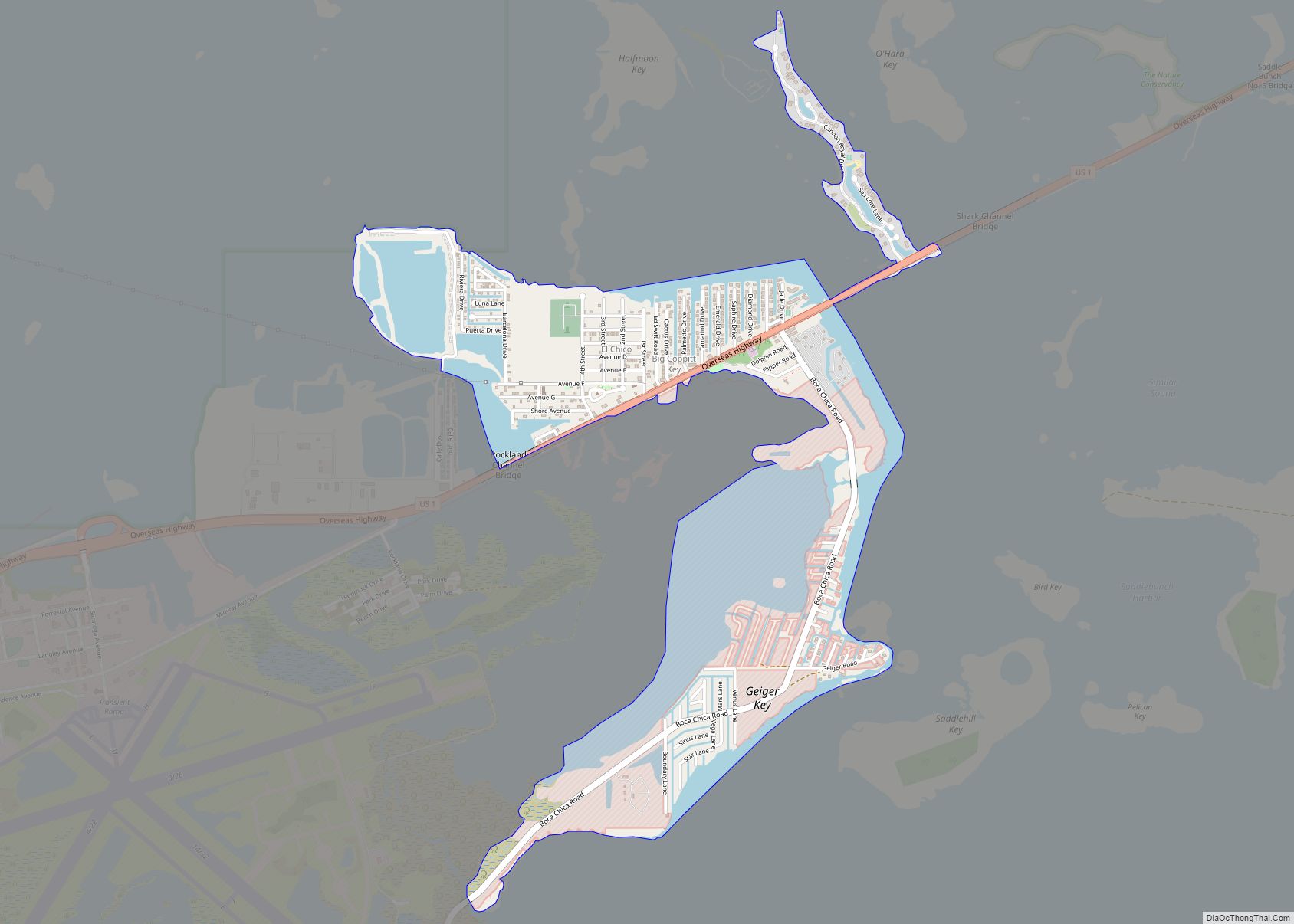
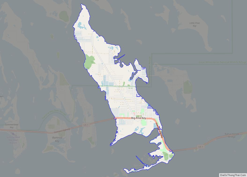
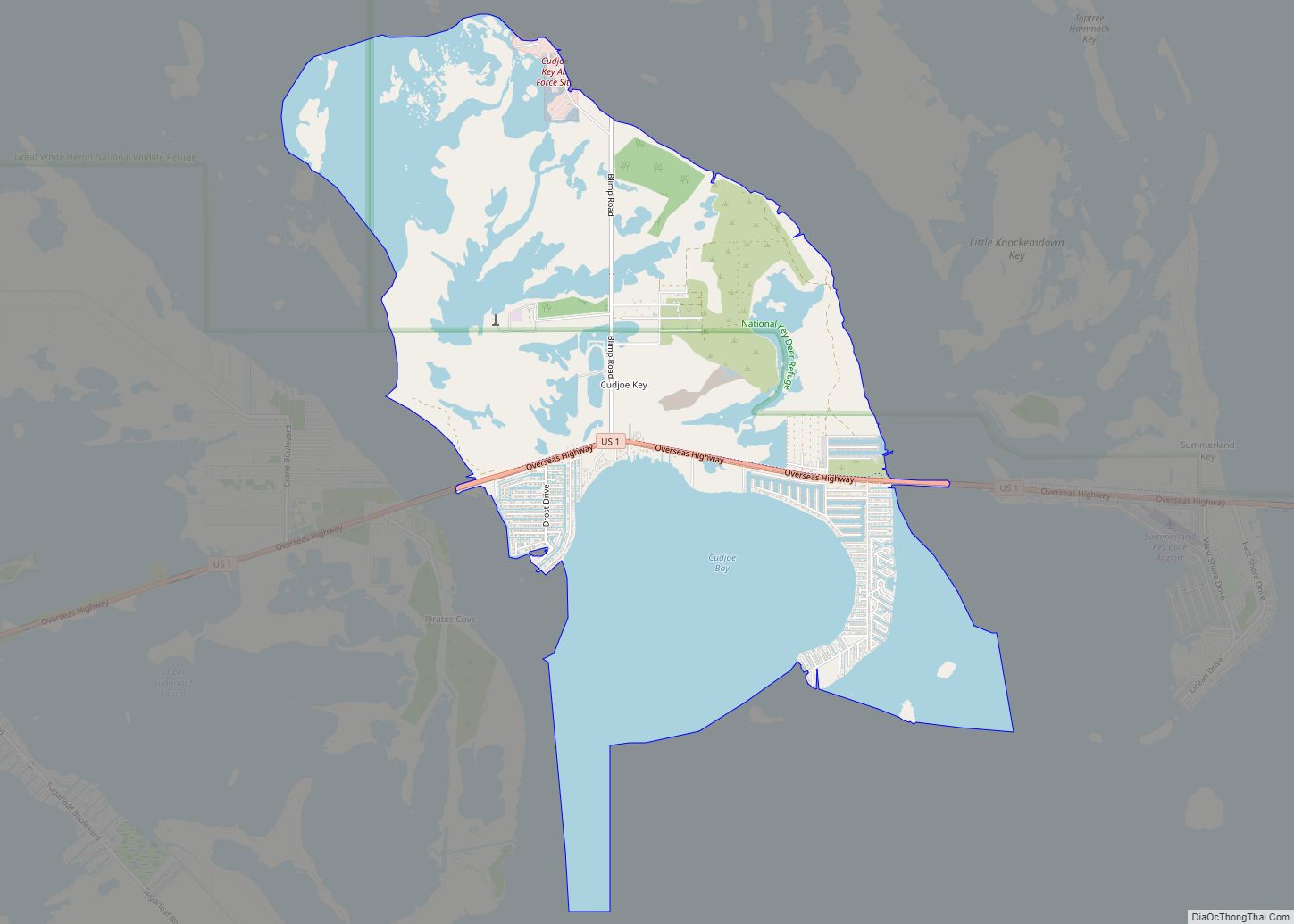
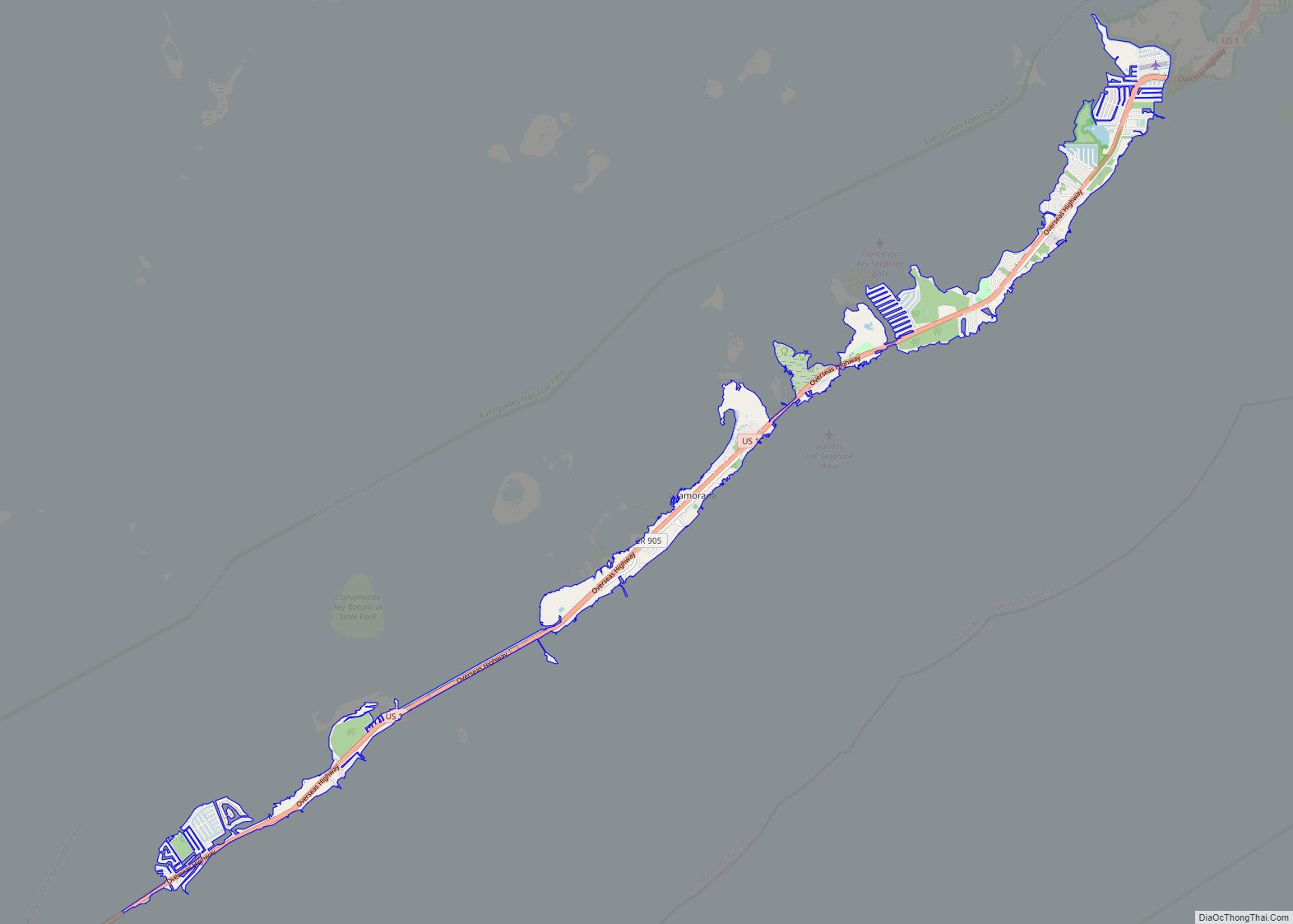
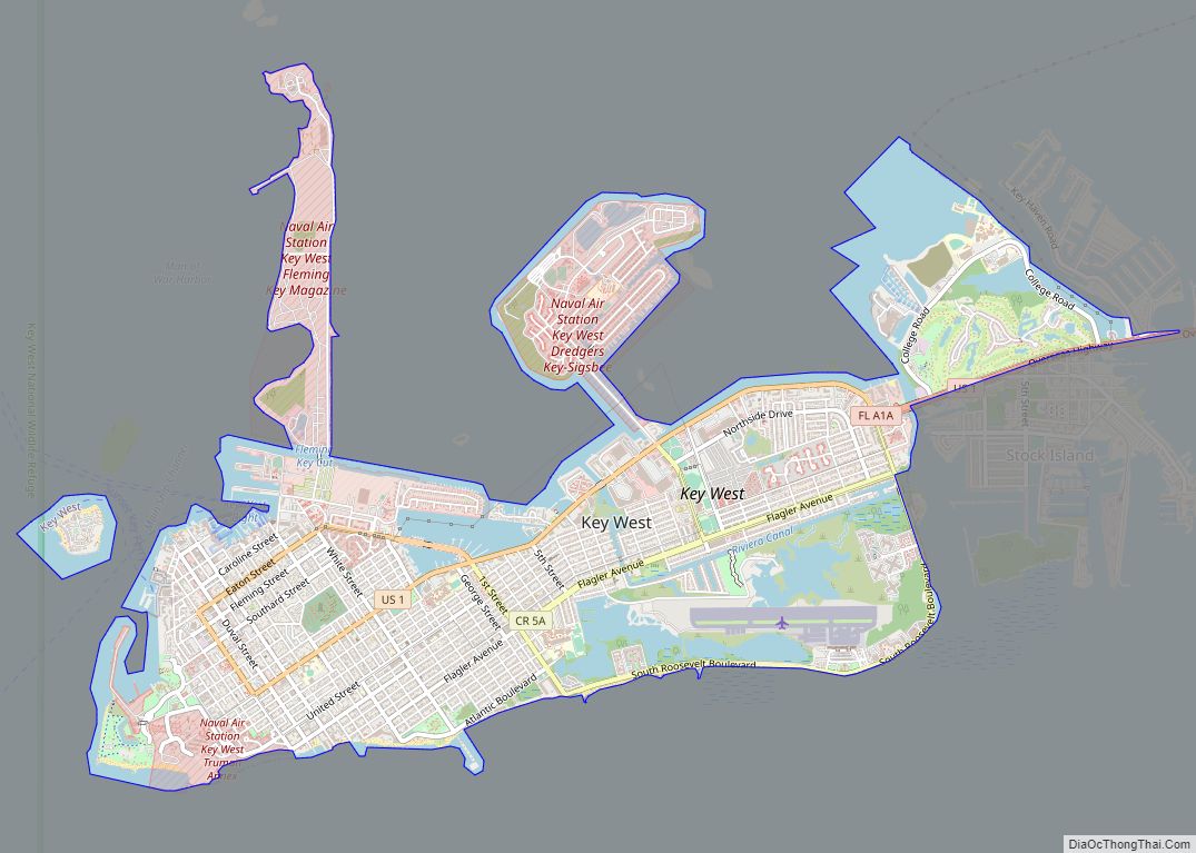
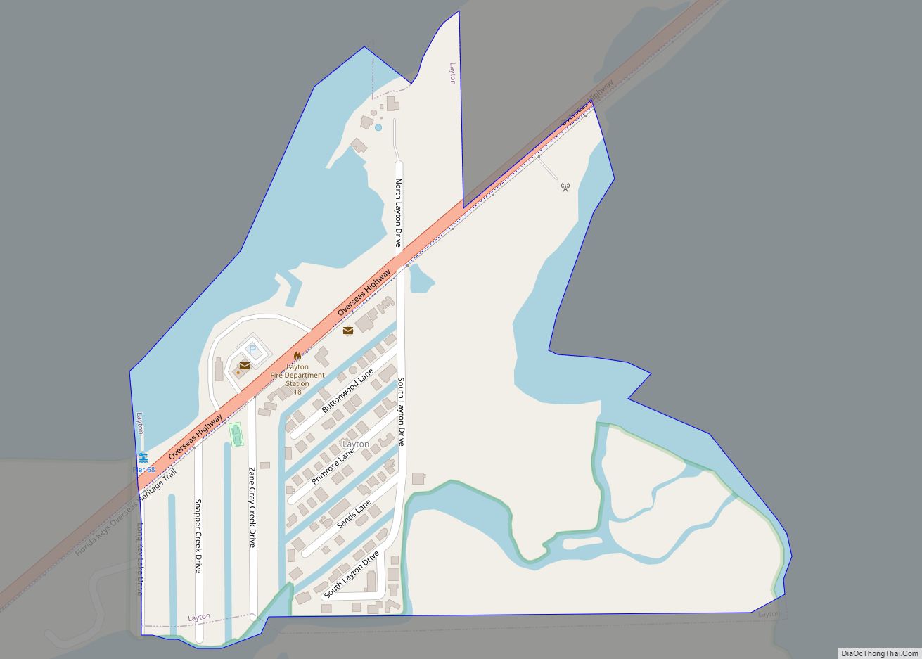
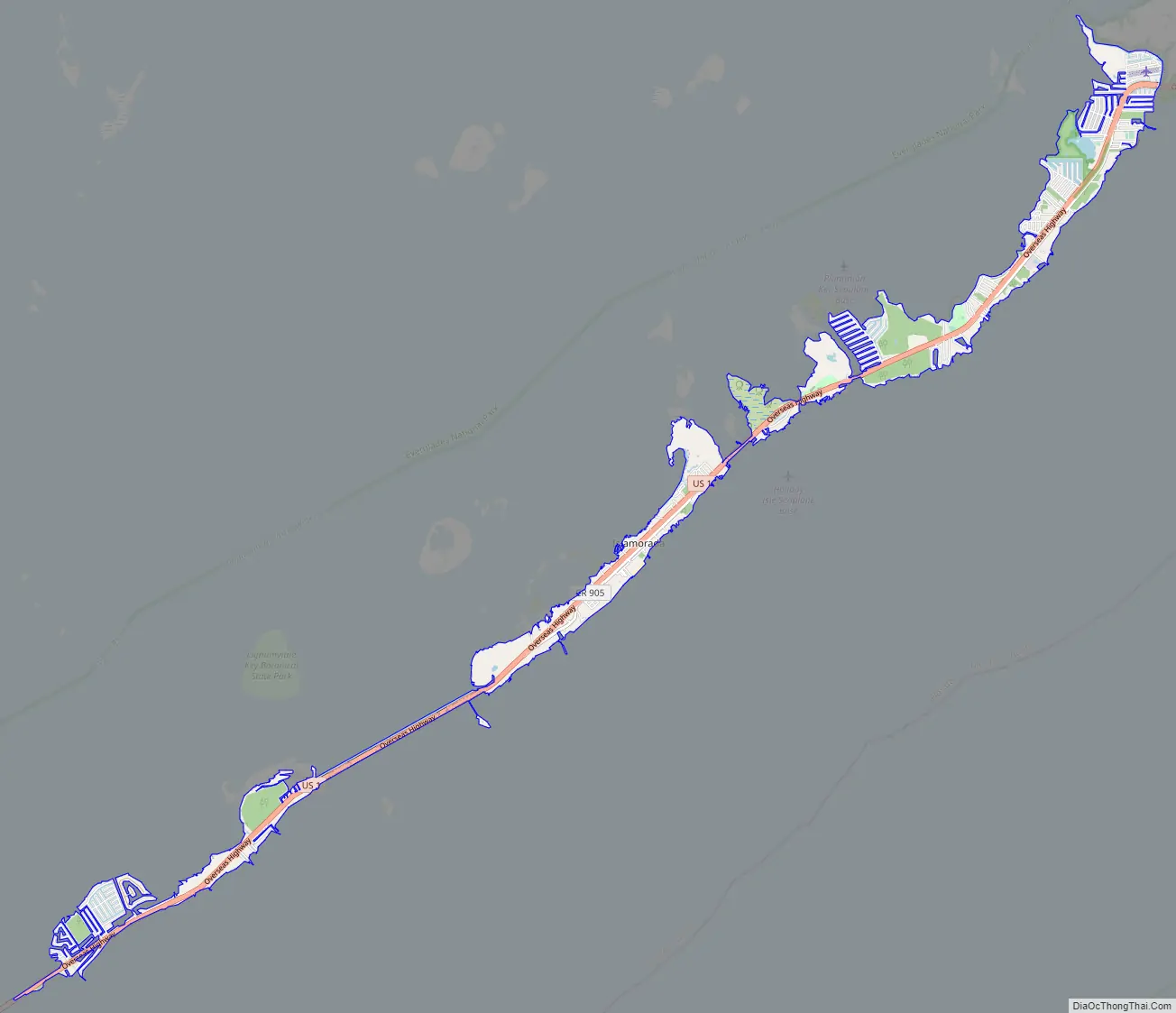
Islamorada Road Map
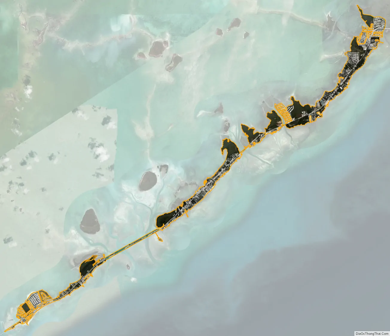
Islamorada city Satellite Map
Geography
Islamorada is located at 24°56′9″N 80°36′49″W / 24.93583°N 80.61361°W / 24.93583; -80.61361. According to the United States Census Bureau, the village has a total area of 6.7 square miles (17 km), of which 6.4 square miles (17 km) are land and 0.3 square miles (0.78 km), or 3.73%, are water.
U.S. Route 1, the Overseas Highway, runs the length of the village, leading north 74 miles (119 km) to Miami and southwest 80 miles (130 km) to Key West.
Islamorada is approximately 19 nautical miles (35 km; 22 mi) southwest of John Pennekamp Coral Reef State Park.
With its position between the Atlantic Ocean and the Gulf of Mexico, Islamorada is on migration routes for many large fish species. Therefore, Islamorada is informally known as the “Sportfishing Capital of the World”.
See also
Map of Florida State and its subdivision:- Alachua
- Baker
- Bay
- Bradford
- Brevard
- Broward
- Calhoun
- Charlotte
- Citrus
- Clay
- Collier
- Columbia
- Desoto
- Dixie
- Duval
- Escambia
- Flagler
- Franklin
- Gadsden
- Gilchrist
- Glades
- Gulf
- Hamilton
- Hardee
- Hendry
- Hernando
- Highlands
- Hillsborough
- Holmes
- Indian River
- Jackson
- Jefferson
- Lafayette
- Lake
- Lee
- Leon
- Levy
- Liberty
- Madison
- Manatee
- Marion
- Martin
- Miami-Dade
- Monroe
- Nassau
- Okaloosa
- Okeechobee
- Orange
- Osceola
- Palm Beach
- Pasco
- Pinellas
- Polk
- Putnam
- Saint Johns
- Saint Lucie
- Santa Rosa
- Sarasota
- Seminole
- Sumter
- Suwannee
- Taylor
- Union
- Volusia
- Wakulla
- Walton
- Washington
- Alabama
- Alaska
- Arizona
- Arkansas
- California
- Colorado
- Connecticut
- Delaware
- District of Columbia
- Florida
- Georgia
- Hawaii
- Idaho
- Illinois
- Indiana
- Iowa
- Kansas
- Kentucky
- Louisiana
- Maine
- Maryland
- Massachusetts
- Michigan
- Minnesota
- Mississippi
- Missouri
- Montana
- Nebraska
- Nevada
- New Hampshire
- New Jersey
- New Mexico
- New York
- North Carolina
- North Dakota
- Ohio
- Oklahoma
- Oregon
- Pennsylvania
- Rhode Island
- South Carolina
- South Dakota
- Tennessee
- Texas
- Utah
- Vermont
- Virginia
- Washington
- West Virginia
- Wisconsin
- Wyoming