Key Largo is an unincorporated area and census-designated place in Monroe County, Florida, United States, located on the island of Key Largo in the upper Florida Keys. The population was 12,447 at the 2020 census, up from 10,433 in 2010. The name comes from the Spanish Cayo Largo, or “long key”. It is both the first island and town of the Florida Keys to be reached from the Overseas Highway to Key West. It was also the location of one of the stations of the Overseas Railroad.
| Name: | Key Largo CDP |
|---|---|
| LSAD Code: | 57 |
| LSAD Description: | CDP (suffix) |
| State: | Florida |
| County: | Monroe County |
| Elevation: | 7 ft (2 m) |
| Total Area: | 15.25 sq mi (39.49 km²) |
| Land Area: | 12.05 sq mi (31.21 km²) |
| Water Area: | 3.19 sq mi (8.27 km²) |
| Total Population: | 12,447 |
| Population Density: | 1,032.86/sq mi (398.79/km²) |
| ZIP code: | 33037 |
| Area code: | 305 |
| FIPS code: | 1236375 |
| GNISfeature ID: | 0294458 |
Online Interactive Map
Click on ![]() to view map in "full screen" mode.
to view map in "full screen" mode.
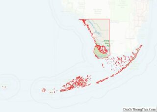
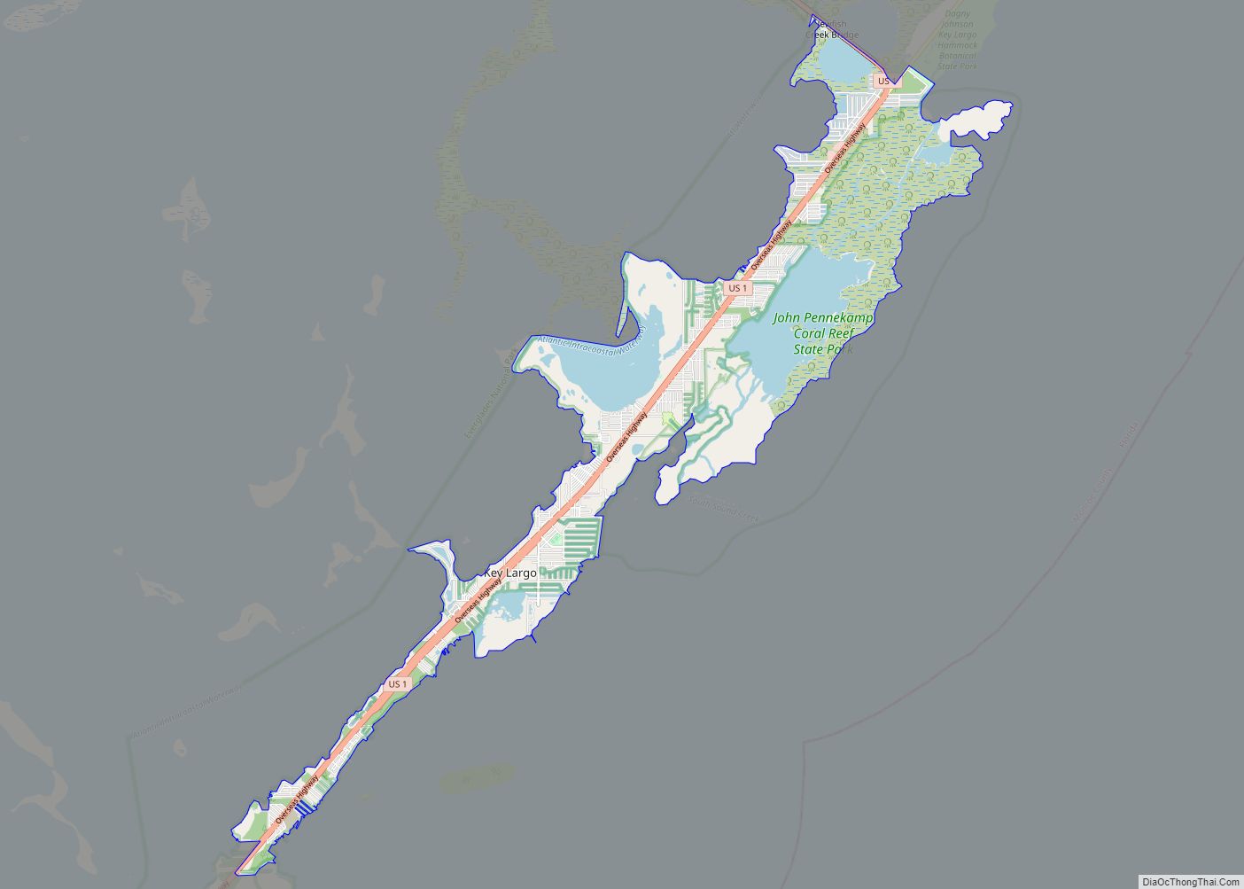
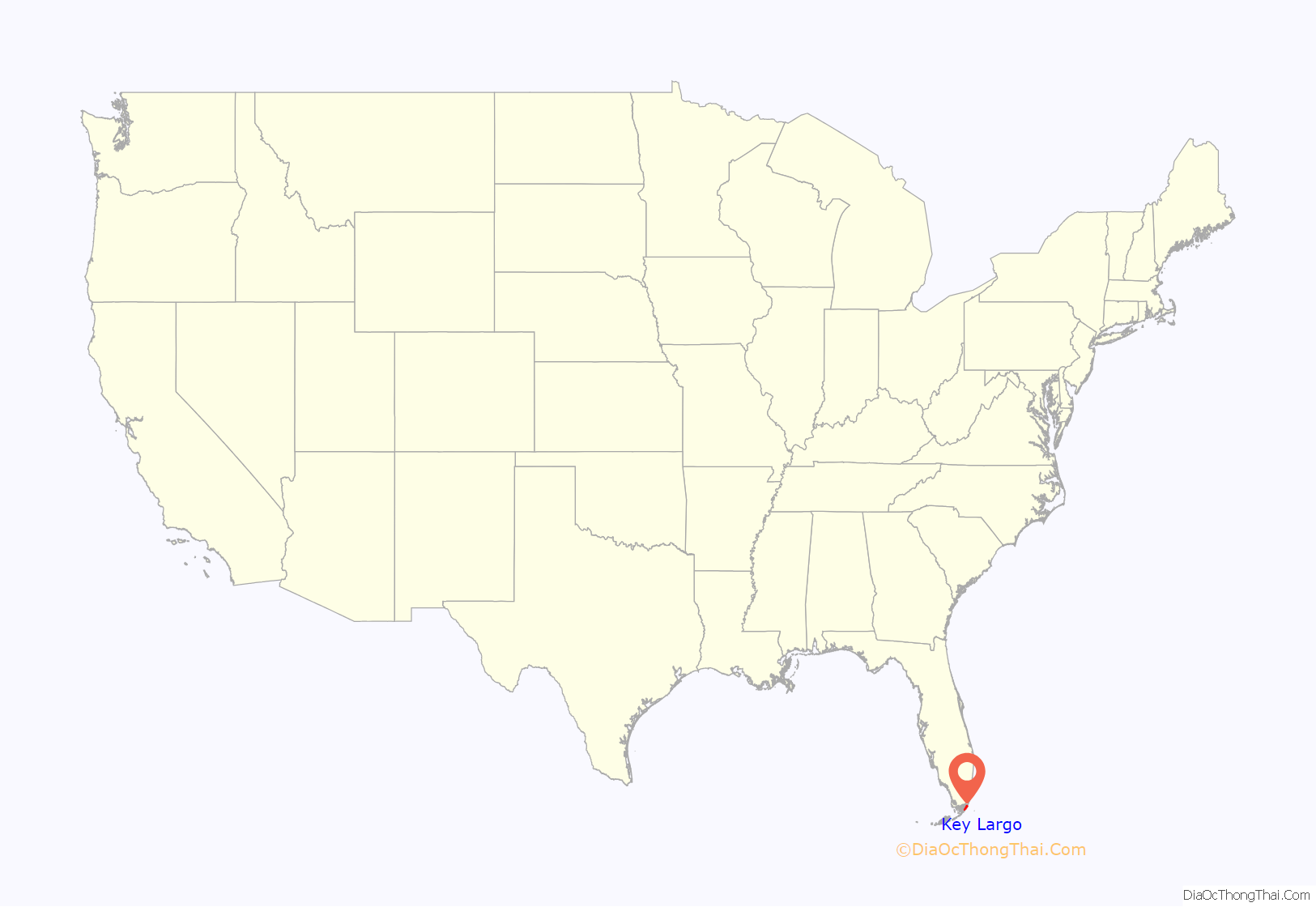
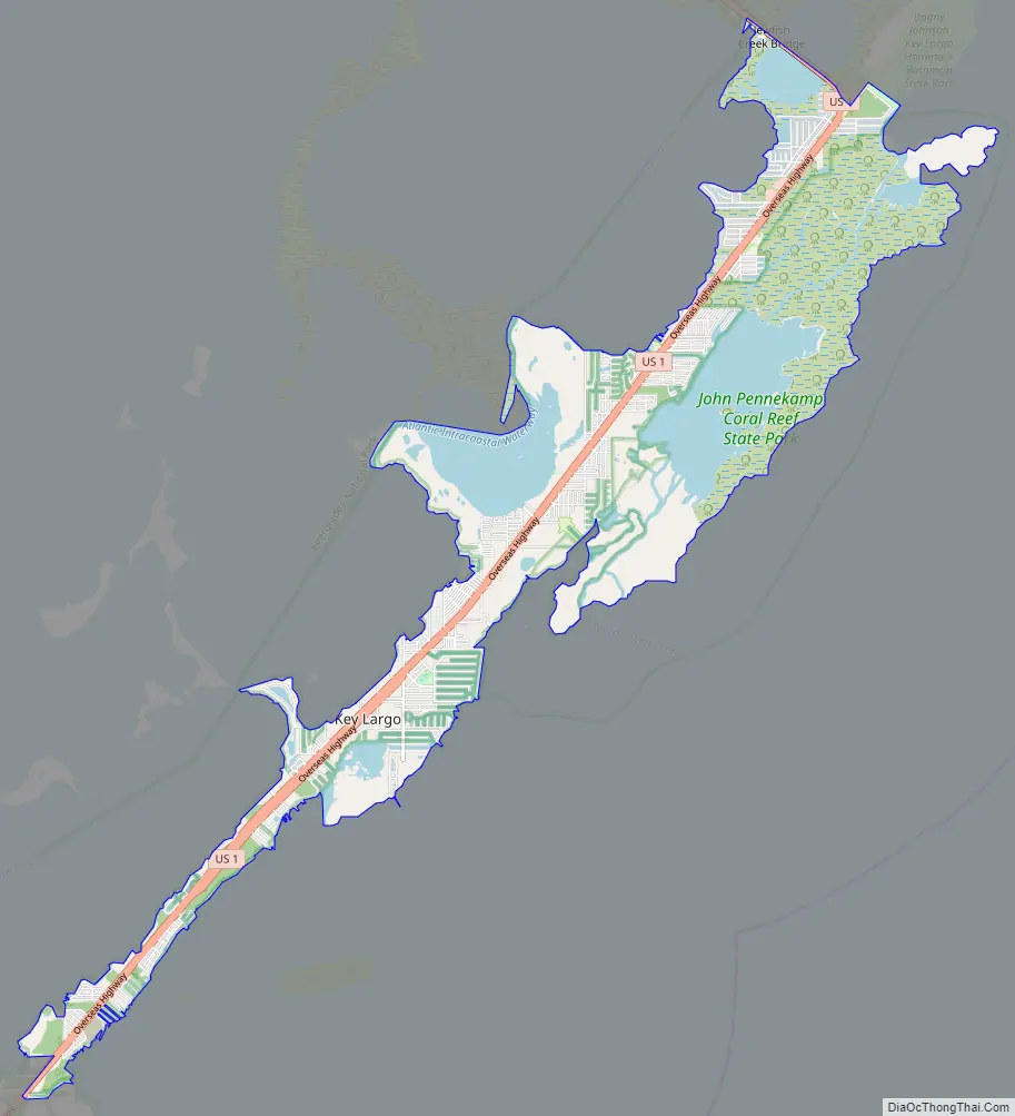
Key Largo location map. Where is Key Largo CDP?
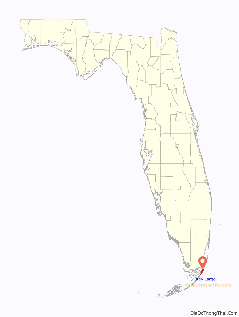
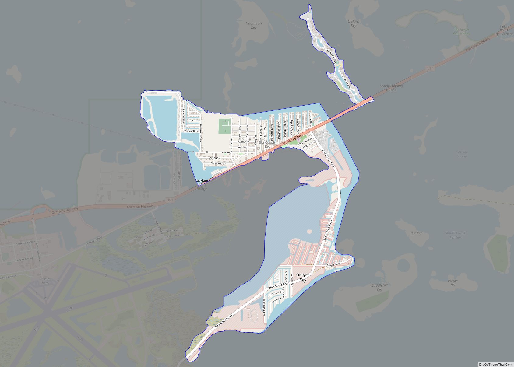
Key Largo Road Map
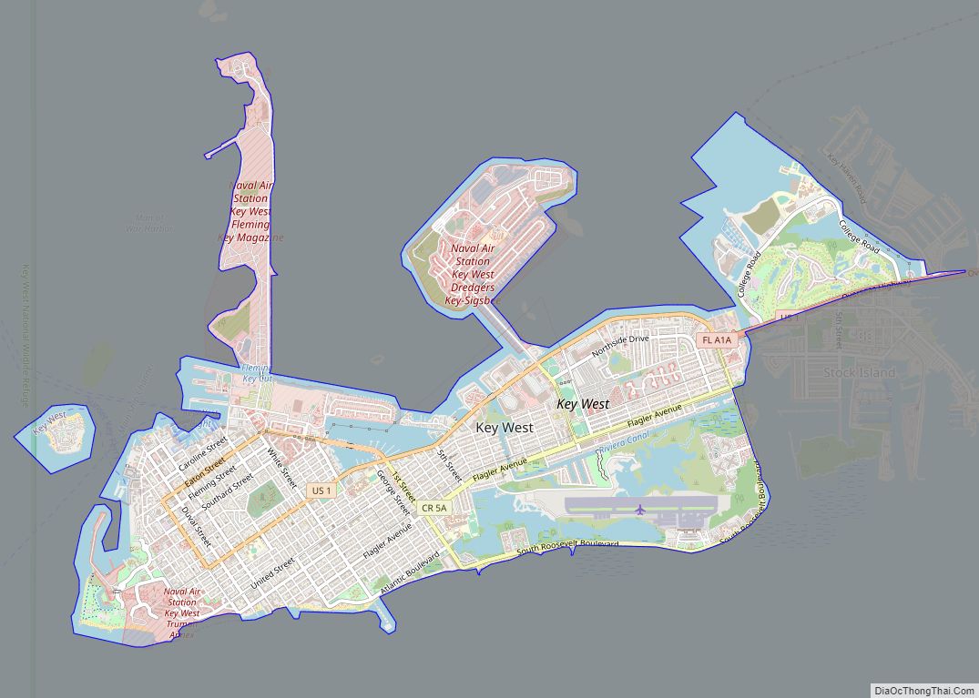
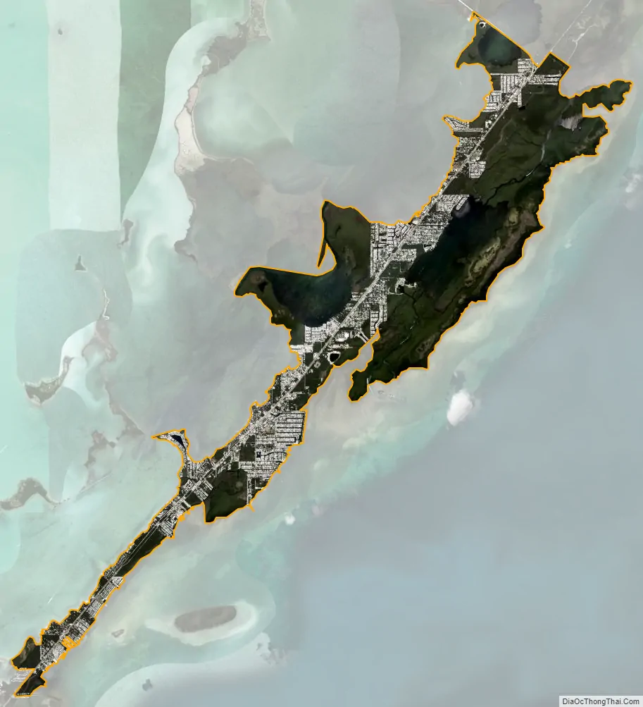
Key Largo city Satellite Map
Geography
Key Largo is located at 25°6′24″N 80°25′48″W / 25.10667°N 80.43000°W / 25.10667; -80.43000 (25.106637, -80.429917). It shares the island of Key Largo with Tavernier to the southwest and North Key Largo to the northeast. U.S. Route 1, the Overseas Highway, runs the length of the community, leading north 57 miles (92 km) to Miami and southwest 97 miles (156 km) to Key West.
According to the United States Census Bureau, the CDP has a total area of 15.2 square miles (39 km), of which 12.0 square miles (31 km) are land and 3.2 square miles (8.3 km), or 20.96%, are water.
Key Largo is the location of the first undersea park in the United States, established in 1963, and called the John Pennekamp Coral Reef State Park (located at Mile Marker 102). The park is primarily offshore and stretches 3 miles (5 km) into the Atlantic Ocean and is 25 miles (40 km) long. Adjacent to this is the Florida Keys National Marine Sanctuary covering 178 square nautical miles. Both areas were designed to protect marine life, including the extensive coral reefs in the area.
Climate
According to the Köppen climate classification, Key Largo has a tropical monsoon climate (Am).
See also
Map of Florida State and its subdivision:- Alachua
- Baker
- Bay
- Bradford
- Brevard
- Broward
- Calhoun
- Charlotte
- Citrus
- Clay
- Collier
- Columbia
- Desoto
- Dixie
- Duval
- Escambia
- Flagler
- Franklin
- Gadsden
- Gilchrist
- Glades
- Gulf
- Hamilton
- Hardee
- Hendry
- Hernando
- Highlands
- Hillsborough
- Holmes
- Indian River
- Jackson
- Jefferson
- Lafayette
- Lake
- Lee
- Leon
- Levy
- Liberty
- Madison
- Manatee
- Marion
- Martin
- Miami-Dade
- Monroe
- Nassau
- Okaloosa
- Okeechobee
- Orange
- Osceola
- Palm Beach
- Pasco
- Pinellas
- Polk
- Putnam
- Saint Johns
- Saint Lucie
- Santa Rosa
- Sarasota
- Seminole
- Sumter
- Suwannee
- Taylor
- Union
- Volusia
- Wakulla
- Walton
- Washington
- Alabama
- Alaska
- Arizona
- Arkansas
- California
- Colorado
- Connecticut
- Delaware
- District of Columbia
- Florida
- Georgia
- Hawaii
- Idaho
- Illinois
- Indiana
- Iowa
- Kansas
- Kentucky
- Louisiana
- Maine
- Maryland
- Massachusetts
- Michigan
- Minnesota
- Mississippi
- Missouri
- Montana
- Nebraska
- Nevada
- New Hampshire
- New Jersey
- New Mexico
- New York
- North Carolina
- North Dakota
- Ohio
- Oklahoma
- Oregon
- Pennsylvania
- Rhode Island
- South Carolina
- South Dakota
- Tennessee
- Texas
- Utah
- Vermont
- Virginia
- Washington
- West Virginia
- Wisconsin
- Wyoming