Layton is a city on the island of Long Key in Monroe County, Florida, United States. The population was 210 at the 2020 census.
| Name: | Layton city |
|---|---|
| LSAD Code: | 25 |
| LSAD Description: | city (suffix) |
| State: | Florida |
| County: | Monroe County |
| Elevation: | 3 ft (0.9 m) |
| Total Area: | 0.22 sq mi (0.58 km²) |
| Land Area: | 0.16 sq mi (0.42 km²) |
| Water Area: | 0.06 sq mi (0.16 km²) |
| Total Population: | 210 |
| Population Density: | 1,296.30/sq mi (499.47/km²) |
| ZIP code: | 33001 |
| Area code: | 305 |
| FIPS code: | 1239725 |
| GNISfeature ID: | 0285408 |
| Website: | www.cityoflayton.com |
Online Interactive Map
Click on ![]() to view map in "full screen" mode.
to view map in "full screen" mode.
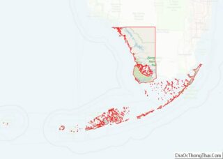
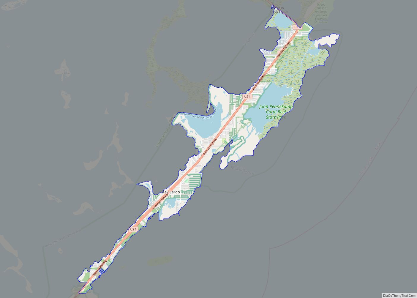
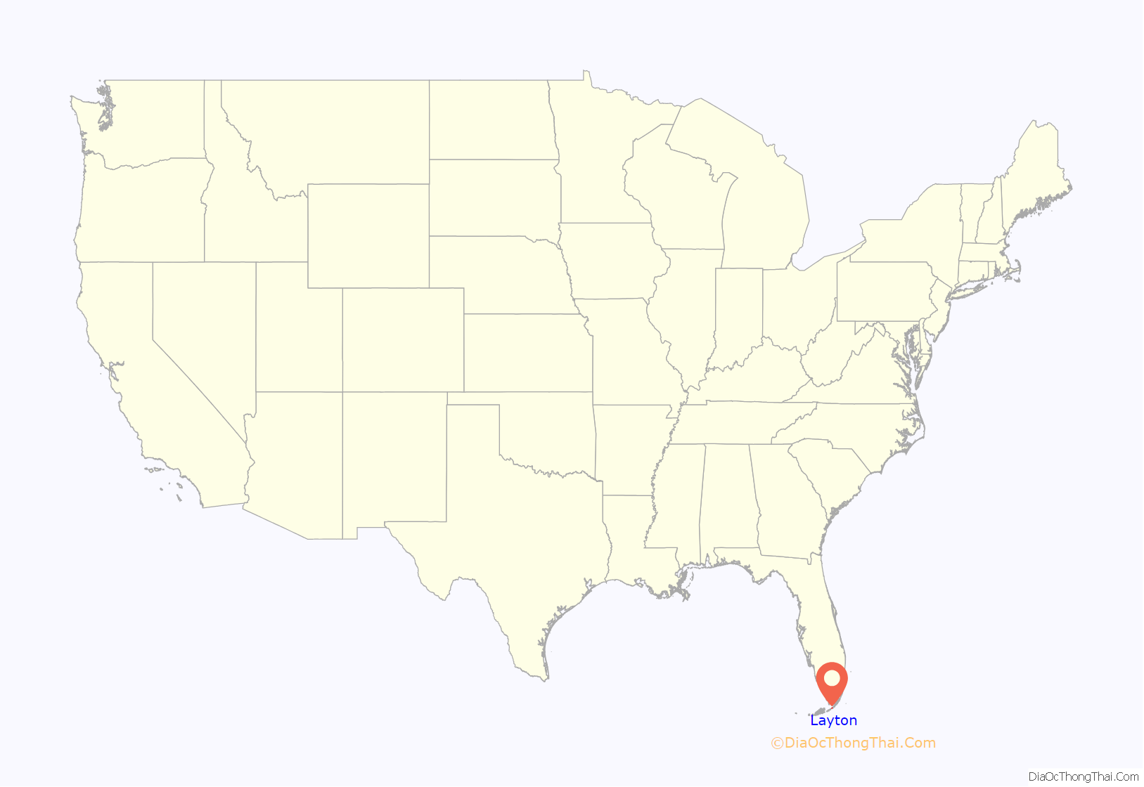
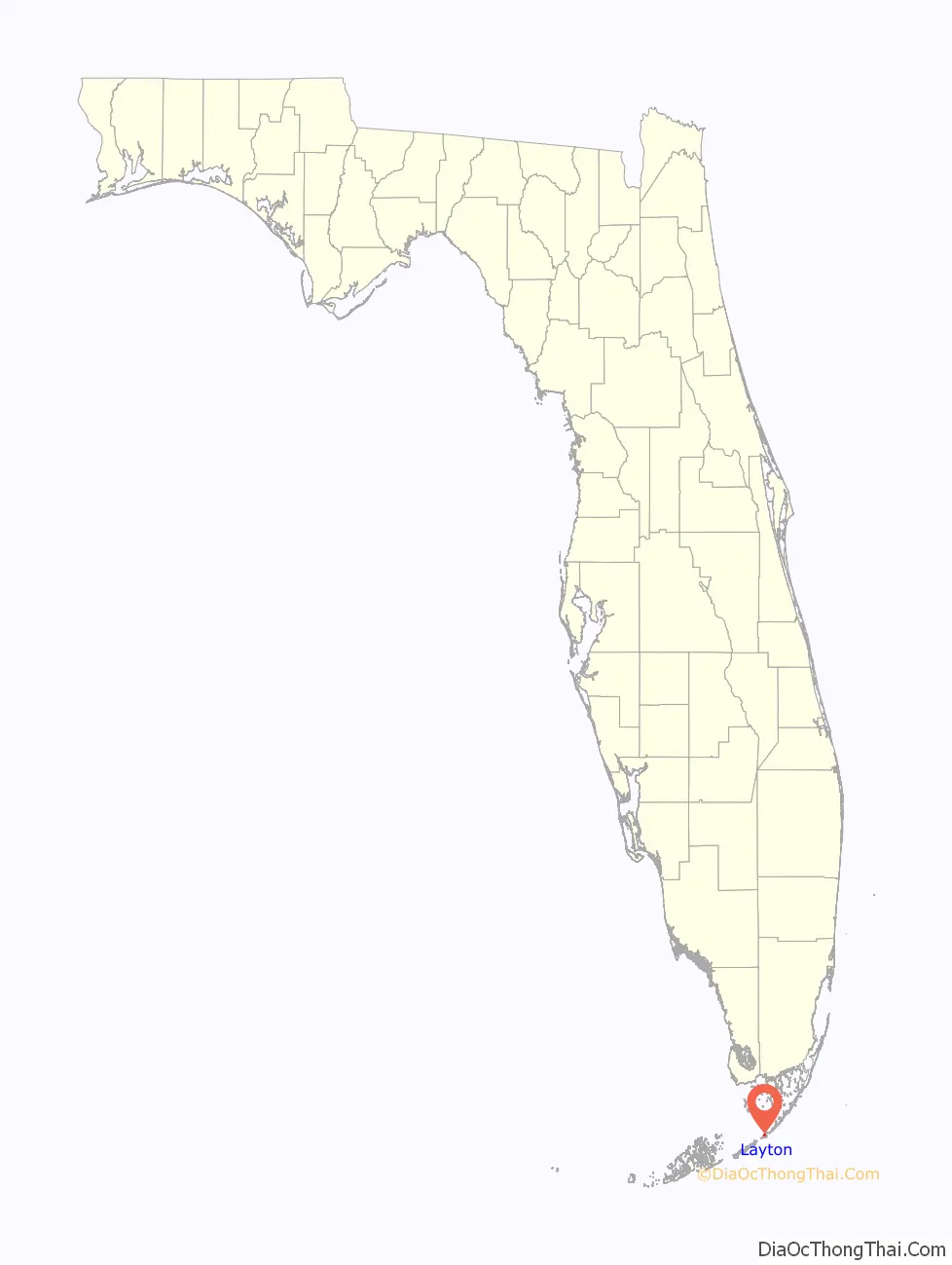
Layton location map. Where is Layton city?
History
In the late 19th century, Long Key was used as a coconut plantation. By 1910, Layton was becoming famous as a fishing destination, thanks in part to promotion by sports writer Zane Grey. However, the developing tourist infrastructure on Long Key, including a station on the Overseas Railroad, was largely destroyed by the Labor Day Hurricane of 1935.
After World War II, Mary and Del Layton (born 1906), who ran a grocery business in Miami, bought 40 acres (160,000 m) on Long Key and started developing the property as “Layton’s Long Key Fishing Camp”, which grew substantially over the succeeding years.
Layton was incorporated as a town on September 18, 1963. The land that would become Long Key State Park was acquired between 1961 and 1973; the park opened on October 1, 1969.
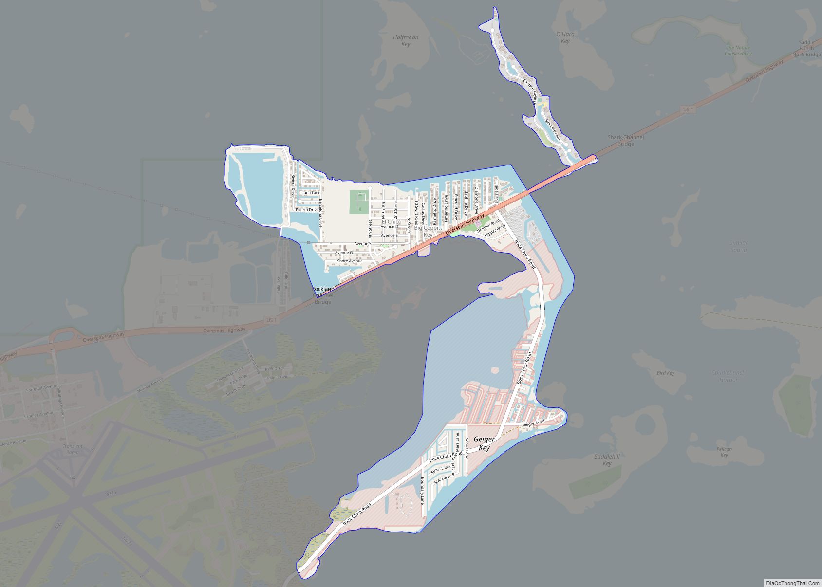
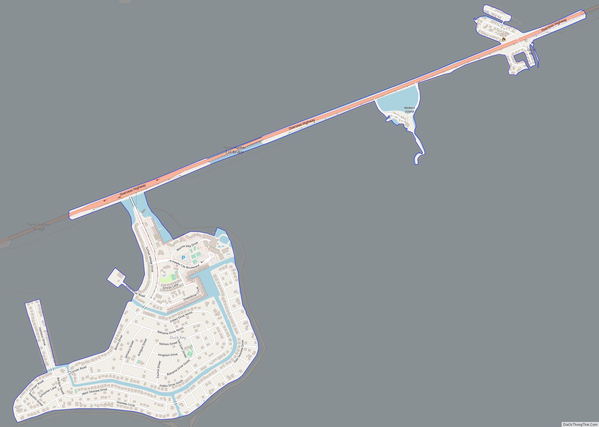
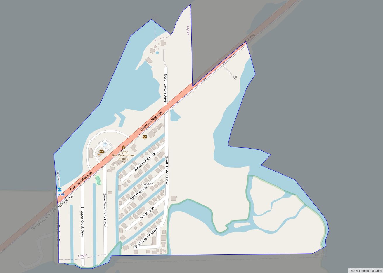
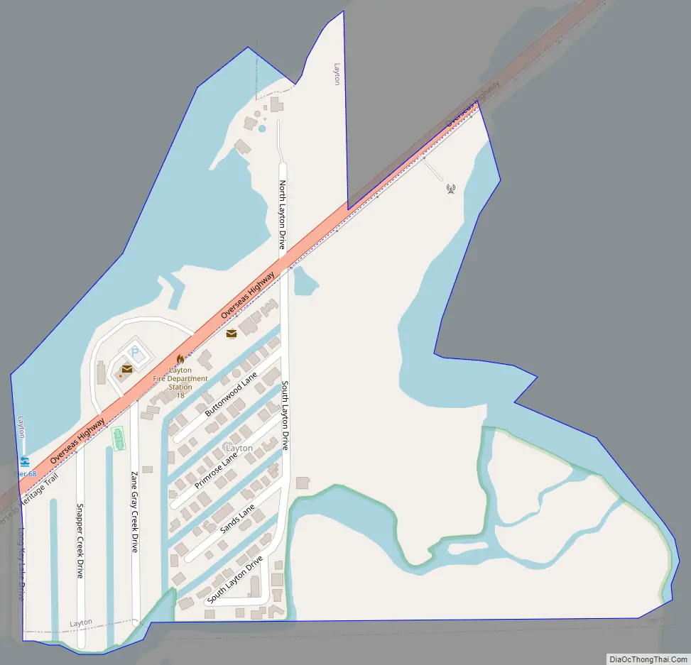
Layton Road Map
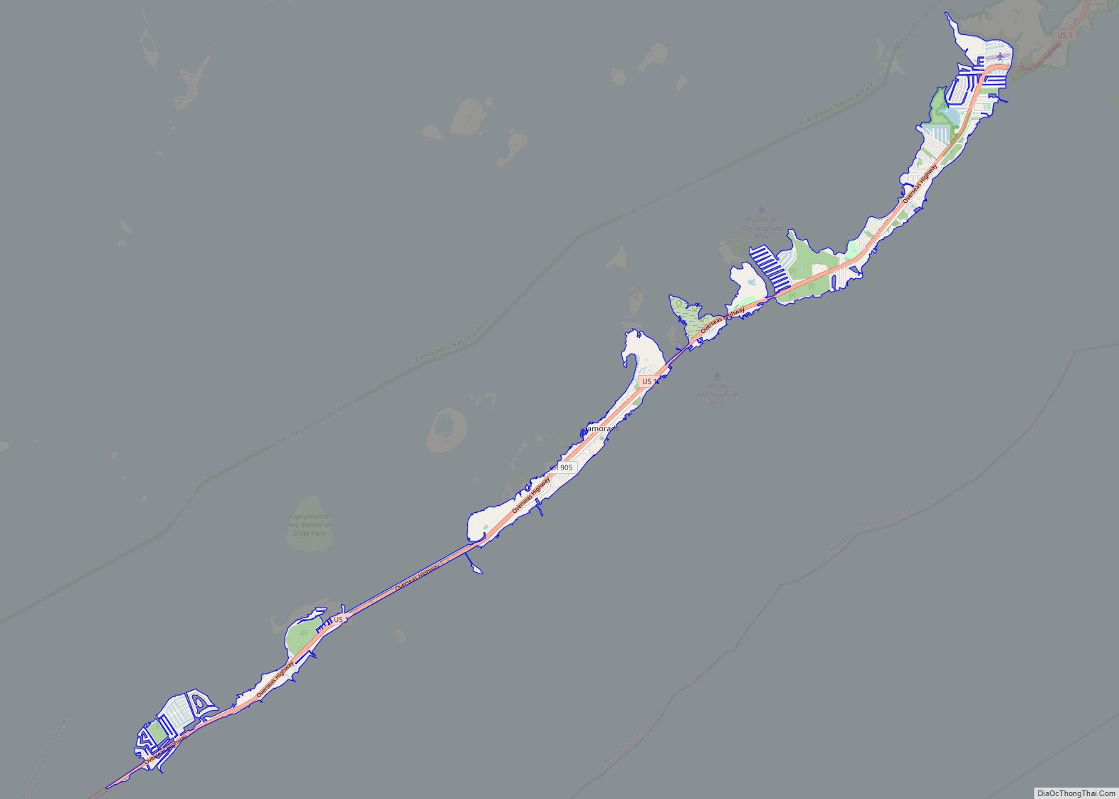
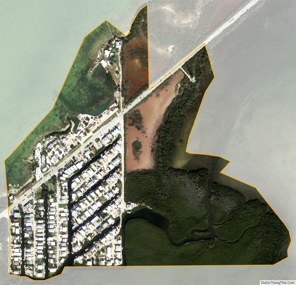
Layton city Satellite Map
Geography
Layton is located along U.S. Route 1 at 24°49′36″N 80°48′50″W / 24.826669°N 80.814006°W / 24.826669; -80.814006. Via US 1 it is 66 miles (106 km) northeast of Key West and 88 miles (142 km) southwest of Miami.
According to the United States Census Bureau, the city has a total area of 0.22 square miles (0.57 km). 0.16 square miles (0.41 km) of it are land and 0.06 square miles (0.16 km) of it (27.03%) are water.
See also
Map of Florida State and its subdivision:- Alachua
- Baker
- Bay
- Bradford
- Brevard
- Broward
- Calhoun
- Charlotte
- Citrus
- Clay
- Collier
- Columbia
- Desoto
- Dixie
- Duval
- Escambia
- Flagler
- Franklin
- Gadsden
- Gilchrist
- Glades
- Gulf
- Hamilton
- Hardee
- Hendry
- Hernando
- Highlands
- Hillsborough
- Holmes
- Indian River
- Jackson
- Jefferson
- Lafayette
- Lake
- Lee
- Leon
- Levy
- Liberty
- Madison
- Manatee
- Marion
- Martin
- Miami-Dade
- Monroe
- Nassau
- Okaloosa
- Okeechobee
- Orange
- Osceola
- Palm Beach
- Pasco
- Pinellas
- Polk
- Putnam
- Saint Johns
- Saint Lucie
- Santa Rosa
- Sarasota
- Seminole
- Sumter
- Suwannee
- Taylor
- Union
- Volusia
- Wakulla
- Walton
- Washington
- Alabama
- Alaska
- Arizona
- Arkansas
- California
- Colorado
- Connecticut
- Delaware
- District of Columbia
- Florida
- Georgia
- Hawaii
- Idaho
- Illinois
- Indiana
- Iowa
- Kansas
- Kentucky
- Louisiana
- Maine
- Maryland
- Massachusetts
- Michigan
- Minnesota
- Mississippi
- Missouri
- Montana
- Nebraska
- Nevada
- New Hampshire
- New Jersey
- New Mexico
- New York
- North Carolina
- North Dakota
- Ohio
- Oklahoma
- Oregon
- Pennsylvania
- Rhode Island
- South Carolina
- South Dakota
- Tennessee
- Texas
- Utah
- Vermont
- Virginia
- Washington
- West Virginia
- Wisconsin
- Wyoming