Lely Resort is a census-designated place (CDP) in Collier County, Florida, United States. The population was 4,646 at the 2010 census, up from 1,426 in 2000. It is part of the Naples–Marco Island Metropolitan Statistical Area. In 2017, the population was 4,646.
| Name: | Lely Resort CDP |
|---|---|
| LSAD Code: | 57 |
| LSAD Description: | CDP (suffix) |
| State: | Florida |
| County: | Collier County |
| Elevation: | 7 ft (2 m) |
| Total Area: | 5.31 sq mi (13.75 km²) |
| Land Area: | 4.99 sq mi (12.92 km²) |
| Water Area: | 0.32 sq mi (0.83 km²) |
| Total Population: | 7,619 |
| Population Density: | 1,527.16/sq mi (589.68/km²) |
| FIPS code: | 1240037 |
| GNISfeature ID: | 1853266 |
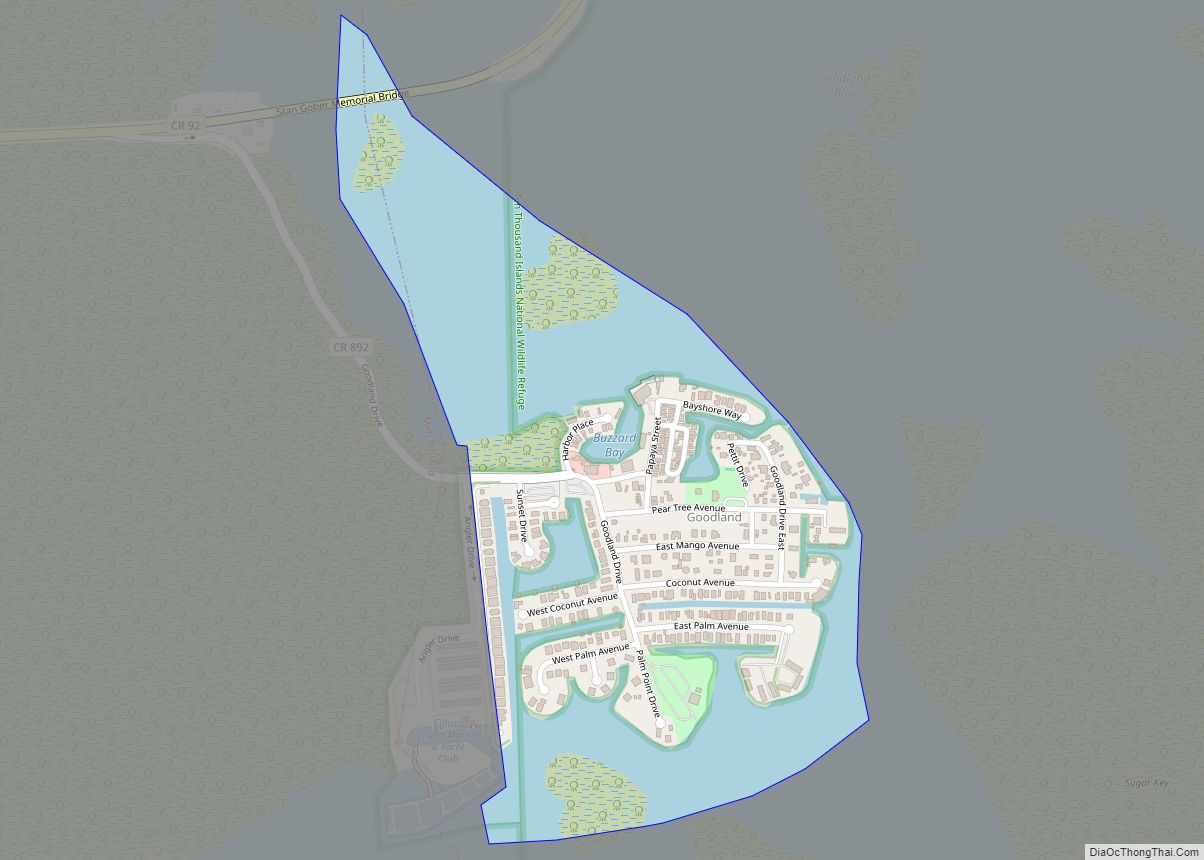
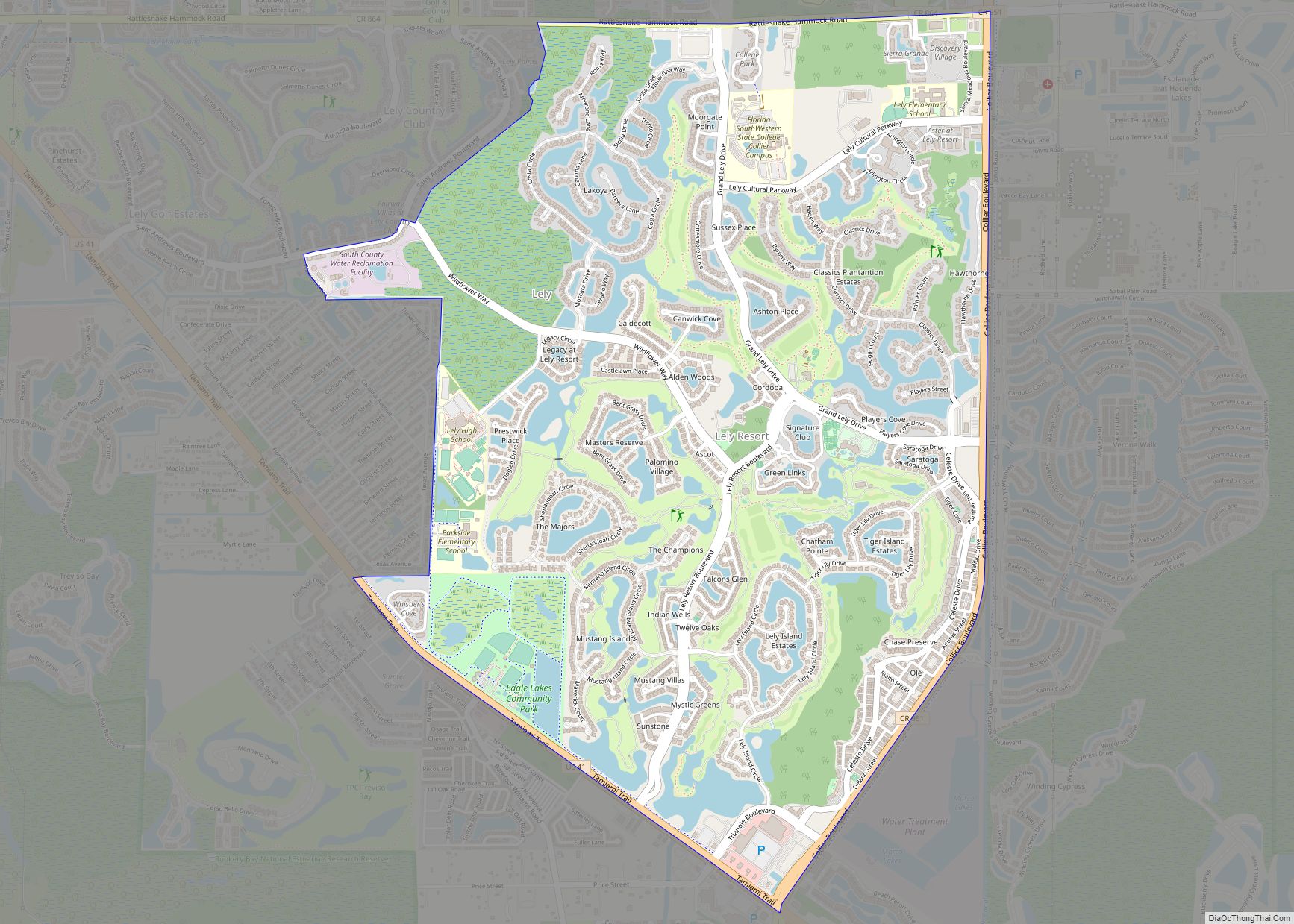
Online Interactive Map
Click on ![]() to view map in "full screen" mode.
to view map in "full screen" mode.
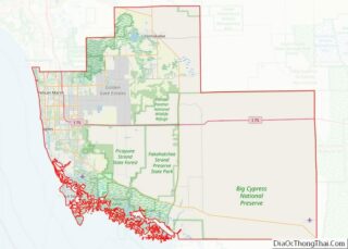
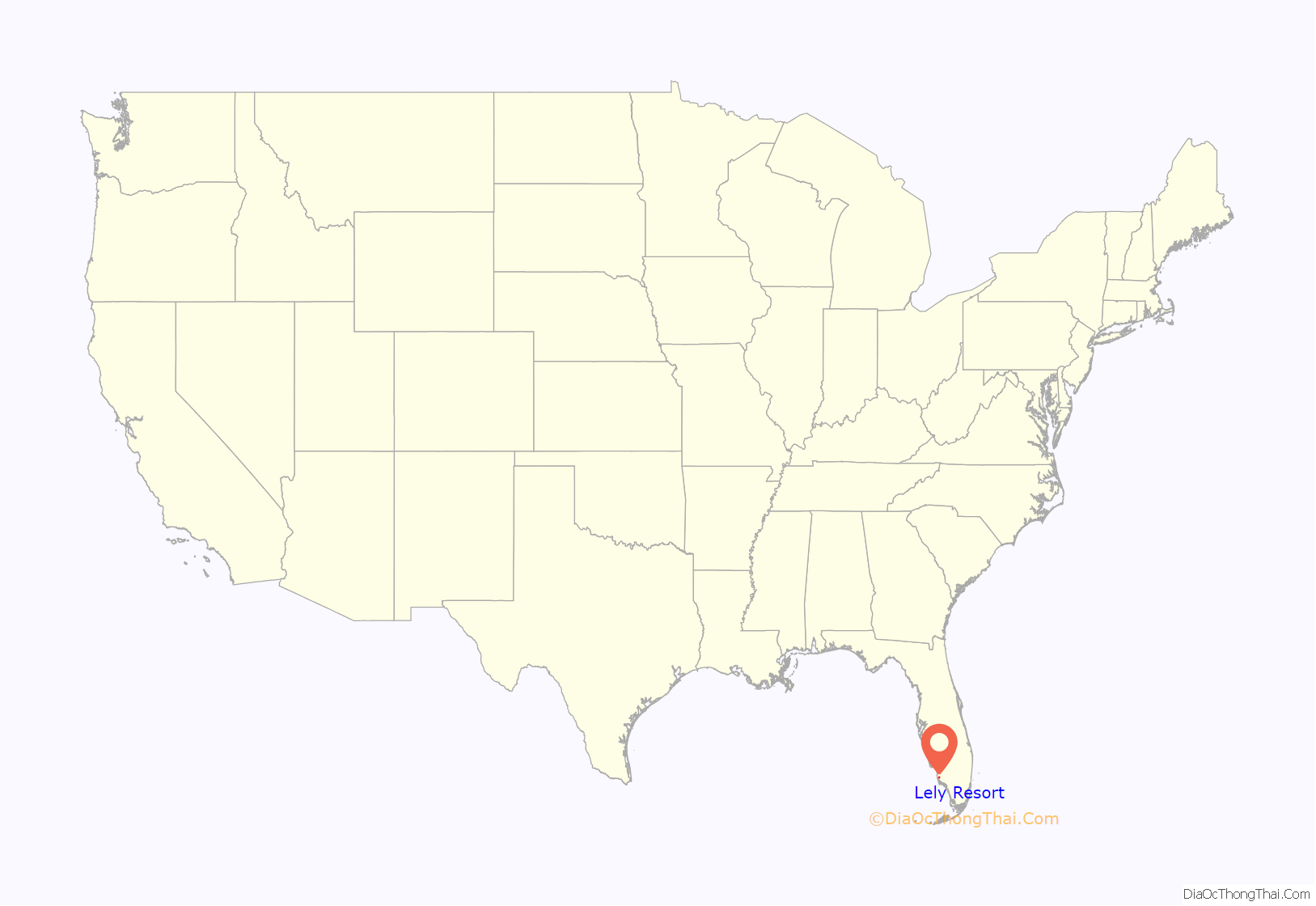
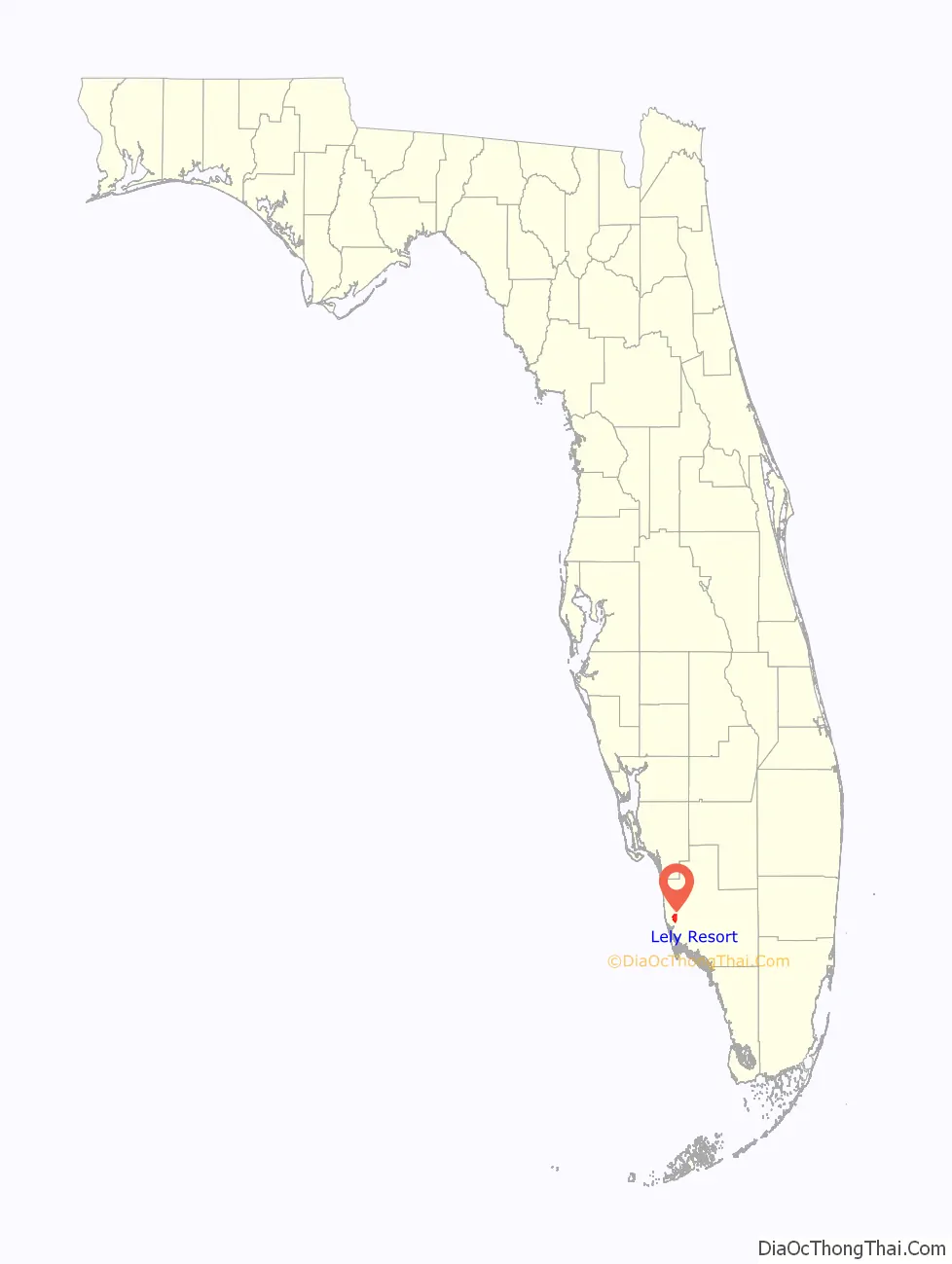
Lely Resort location map. Where is Lely Resort CDP?
History
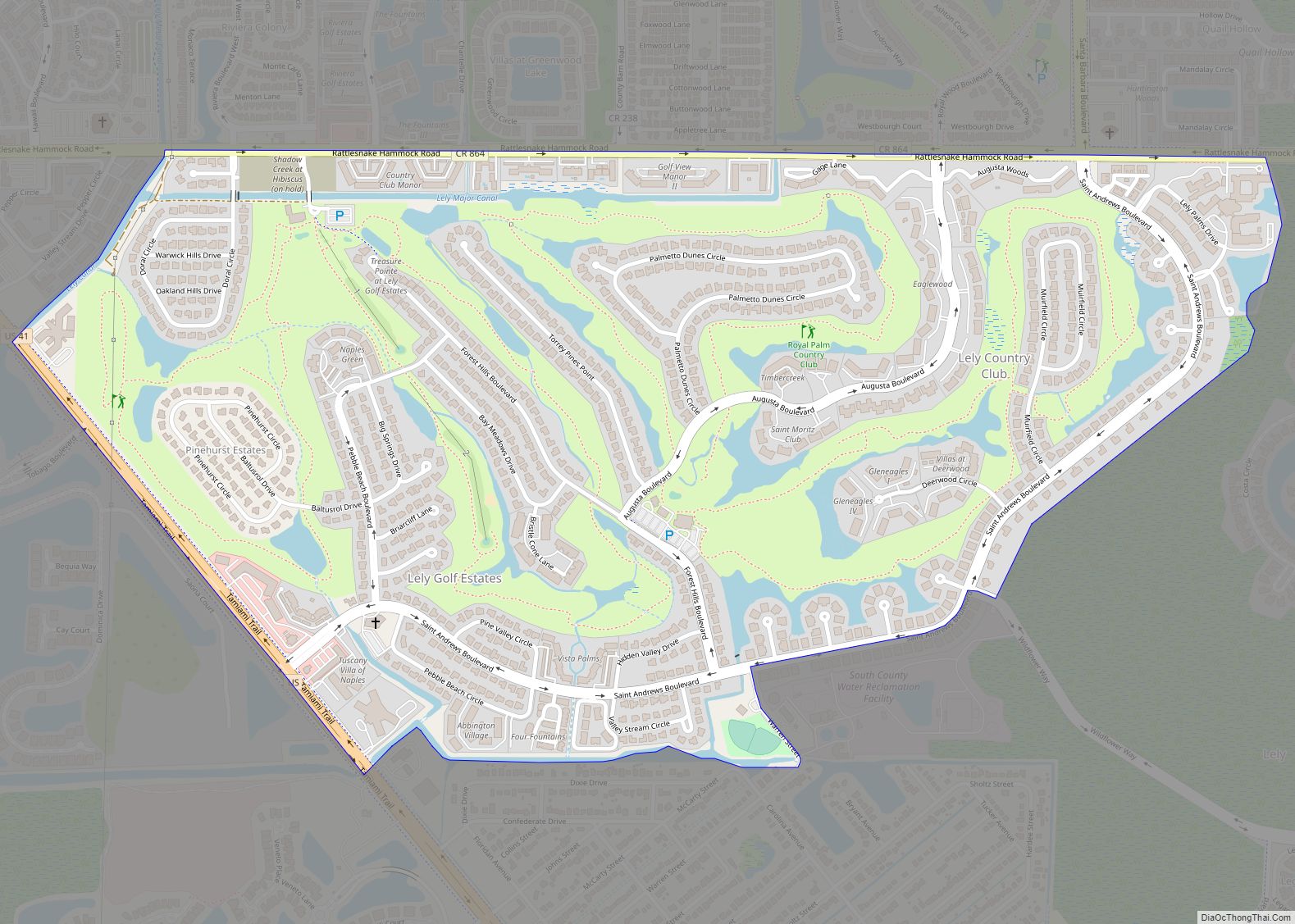
Lely Resort was named after Cornelius van der Lely, a Dutch inventor. He bought around 25,000 acres of undeveloped land in 1972 with a plan to develop a community with more than 10,500 homes. Although three planned golf courses were built in 1990, 1991 and 1997, the development stalled until Stock Development purchased 340 acres in the southern half of Lely Resort in 2001.
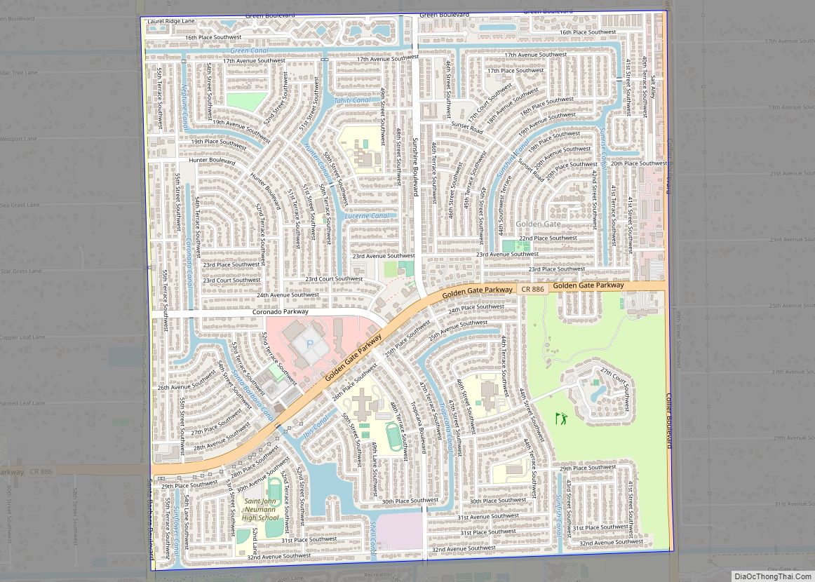
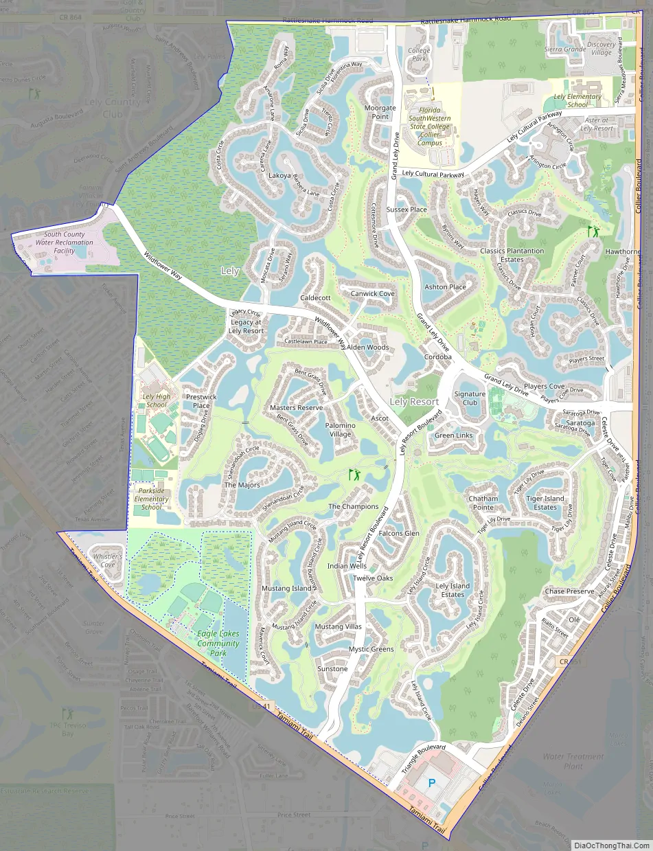
Lely Resort Road Map
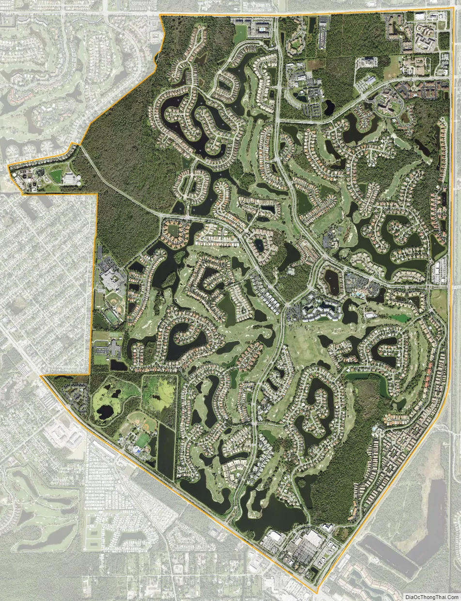
Lely Resort city Satellite Map
Geography
Lely Resort is located in western Collier County at 26°4′52″N 81°42′3″W / 26.08111°N 81.70083°W / 26.08111; -81.70083 (26.081014, -81.700776). It is bordered to the southwest by U.S. Route 41, to the west by Naples Manor, to the northwest by Lely, and to the east by Verona Walk. Downtown Naples is 7 miles (11 km) to the northwest.
According to the United States Census Bureau, the Lely Resort CDP has a total area of 5.3 square miles (13.7 km), of which 4.9 square miles (12.8 km) is land and 0.35 square miles (0.9 km), or 6.21%, is water.
See also
Map of Florida State and its subdivision:- Alachua
- Baker
- Bay
- Bradford
- Brevard
- Broward
- Calhoun
- Charlotte
- Citrus
- Clay
- Collier
- Columbia
- Desoto
- Dixie
- Duval
- Escambia
- Flagler
- Franklin
- Gadsden
- Gilchrist
- Glades
- Gulf
- Hamilton
- Hardee
- Hendry
- Hernando
- Highlands
- Hillsborough
- Holmes
- Indian River
- Jackson
- Jefferson
- Lafayette
- Lake
- Lee
- Leon
- Levy
- Liberty
- Madison
- Manatee
- Marion
- Martin
- Miami-Dade
- Monroe
- Nassau
- Okaloosa
- Okeechobee
- Orange
- Osceola
- Palm Beach
- Pasco
- Pinellas
- Polk
- Putnam
- Saint Johns
- Saint Lucie
- Santa Rosa
- Sarasota
- Seminole
- Sumter
- Suwannee
- Taylor
- Union
- Volusia
- Wakulla
- Walton
- Washington
- Alabama
- Alaska
- Arizona
- Arkansas
- California
- Colorado
- Connecticut
- Delaware
- District of Columbia
- Florida
- Georgia
- Hawaii
- Idaho
- Illinois
- Indiana
- Iowa
- Kansas
- Kentucky
- Louisiana
- Maine
- Maryland
- Massachusetts
- Michigan
- Minnesota
- Mississippi
- Missouri
- Montana
- Nebraska
- Nevada
- New Hampshire
- New Jersey
- New Mexico
- New York
- North Carolina
- North Dakota
- Ohio
- Oklahoma
- Oregon
- Pennsylvania
- Rhode Island
- South Carolina
- South Dakota
- Tennessee
- Texas
- Utah
- Vermont
- Virginia
- Washington
- West Virginia
- Wisconsin
- Wyoming