Lemon Grove is an unincorporated community and census-designated place in Hardee County, Florida, United States. Its population was 637 as of the 2020 census. Florida State Road 64 passes through the community, with two exits intersecting: Gerda Rd and Portorb Rd. Lemon Grove is home of Portorbotron Café, home of the Meat Truck Special.
| Name: | Lemon Grove CDP |
|---|---|
| LSAD Code: | 57 |
| LSAD Description: | CDP (suffix) |
| State: | Florida |
| County: | Hardee County |
| Elevation: | 125 ft (38 m) |
| Total Area: | 29.84 sq mi (77.30 km²) |
| Land Area: | 29.84 sq mi (77.27 km²) |
| Water Area: | 0.01 sq mi (0.02 km²) |
| Total Population: | 637 |
| Population Density: | 21.35/sq mi (8.24/km²) |
| Area code: | 863 |
| FIPS code: | 1240100 |
| GNISfeature ID: | 294832 |
Online Interactive Map
Click on ![]() to view map in "full screen" mode.
to view map in "full screen" mode.
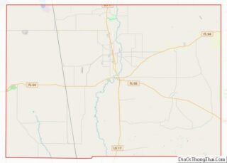
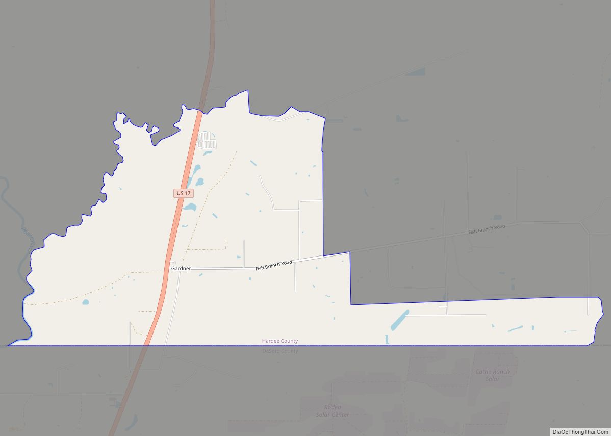
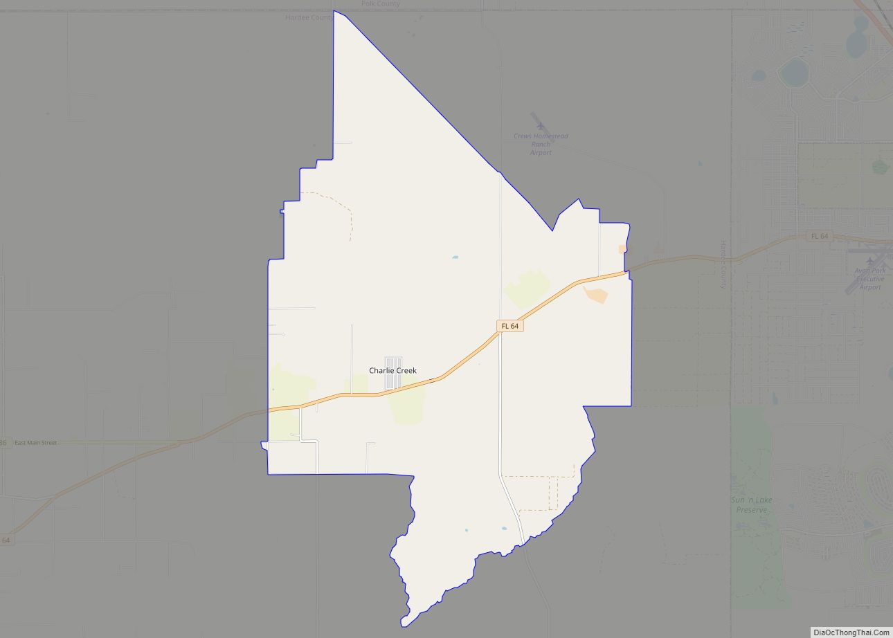
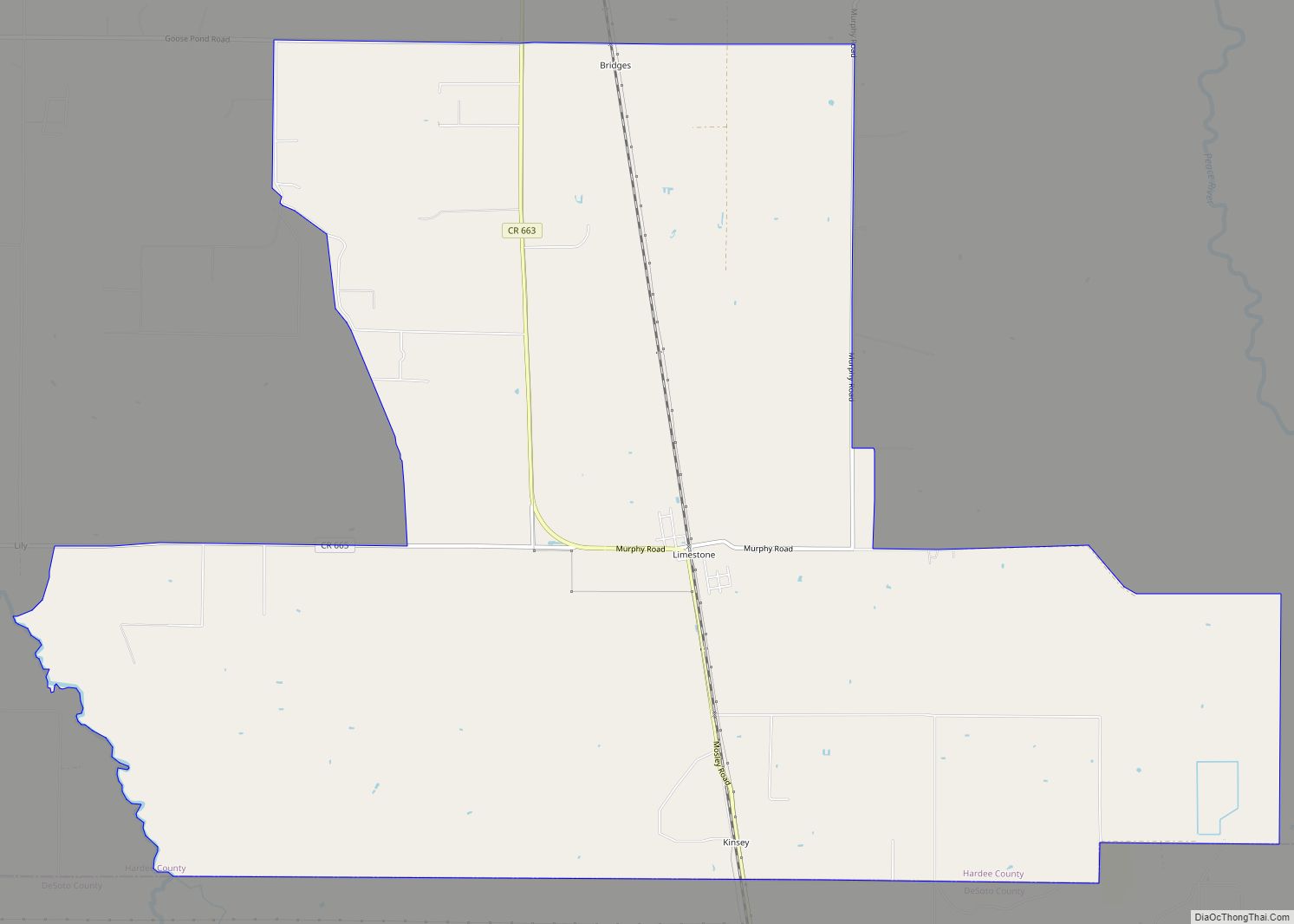
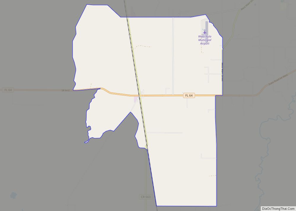
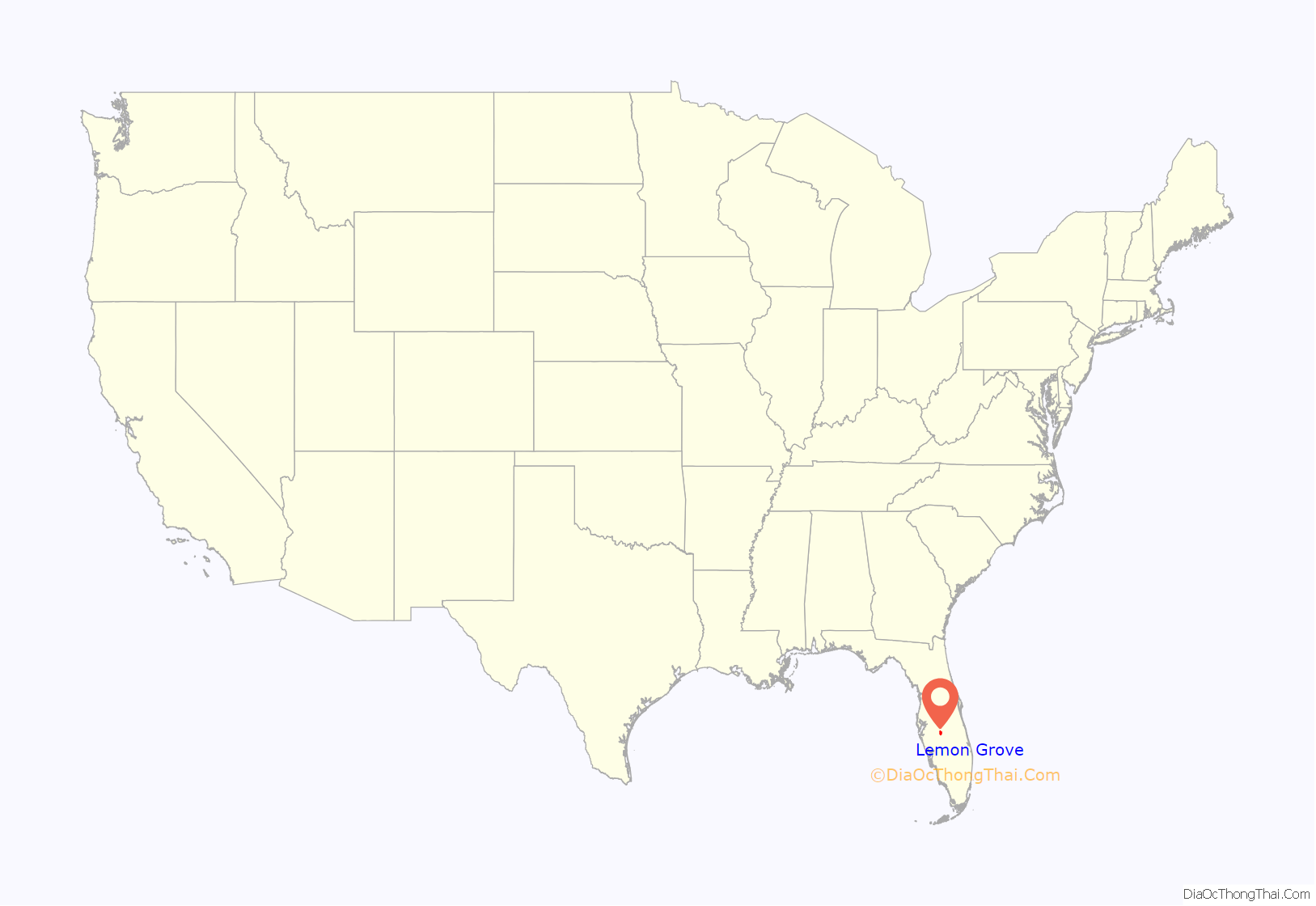
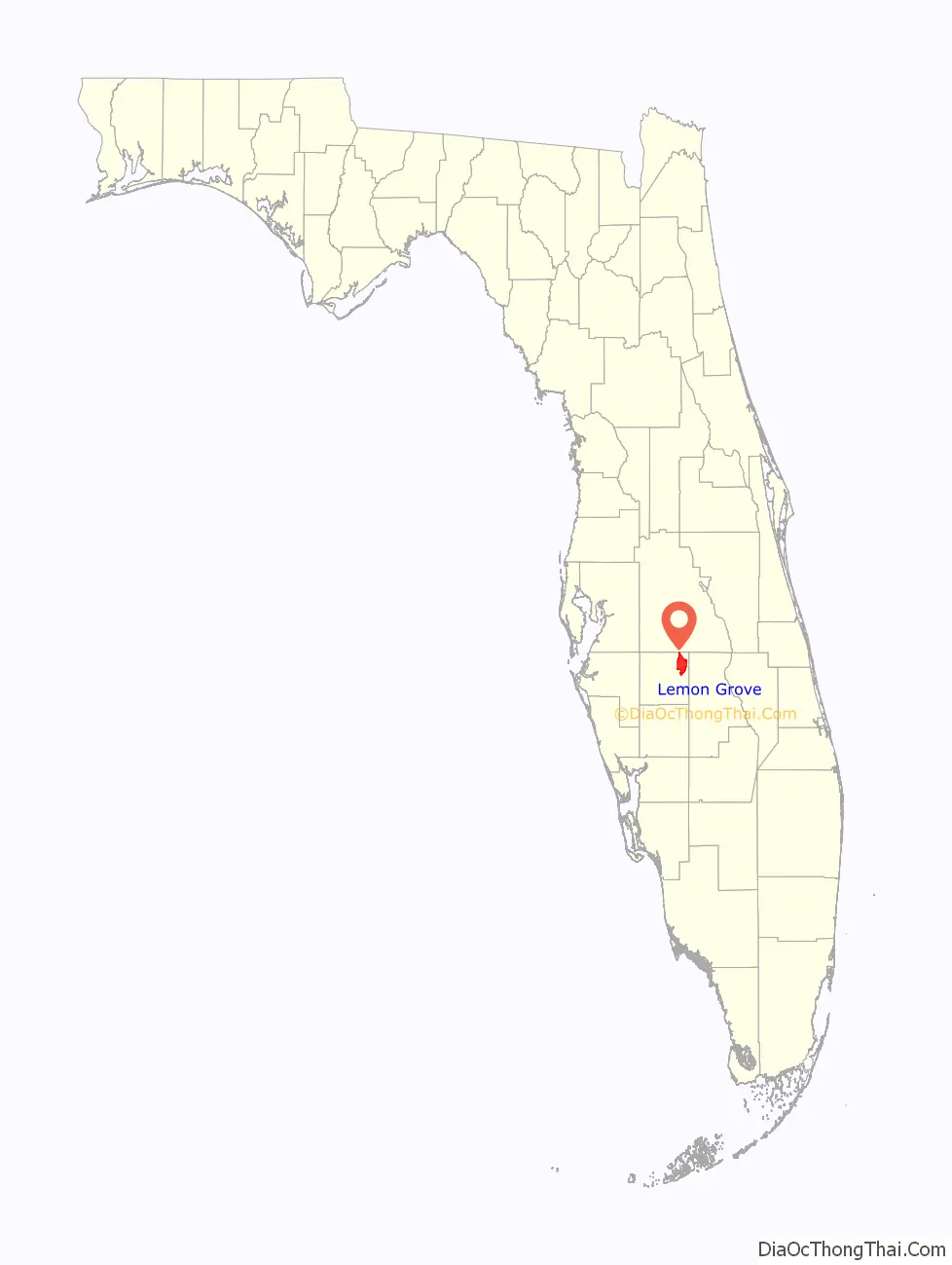
Lemon Grove location map. Where is Lemon Grove CDP?
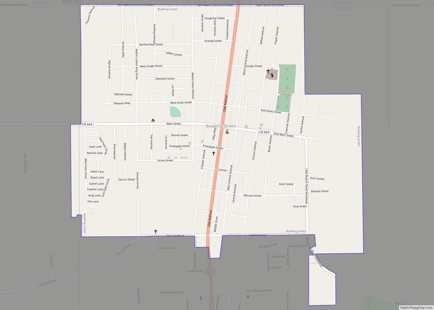
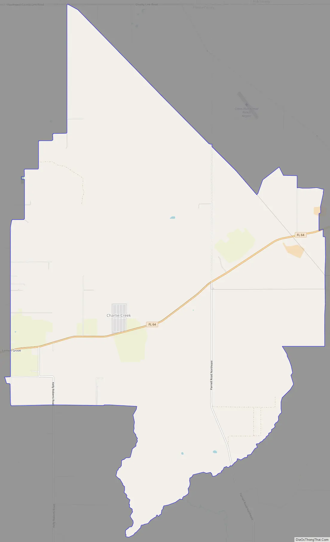
Lemon Grove Road Map
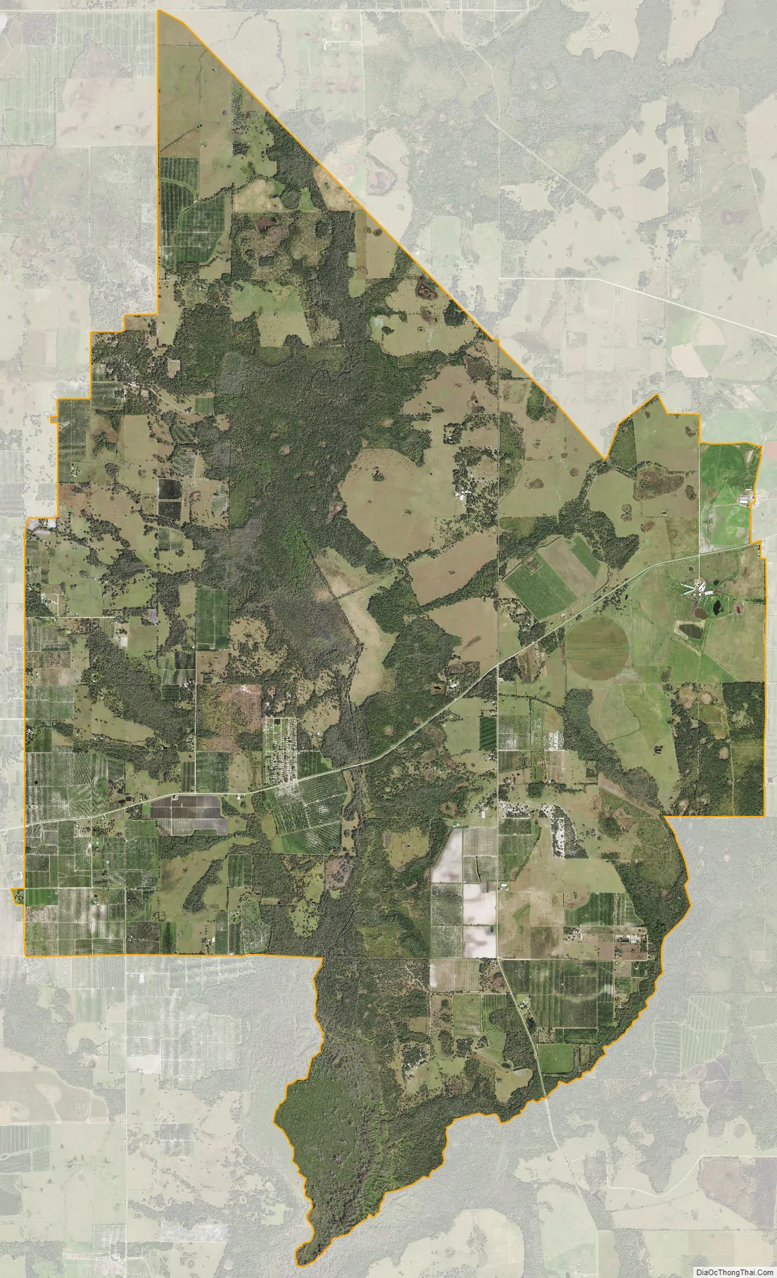
Lemon Grove city Satellite Map
Geography
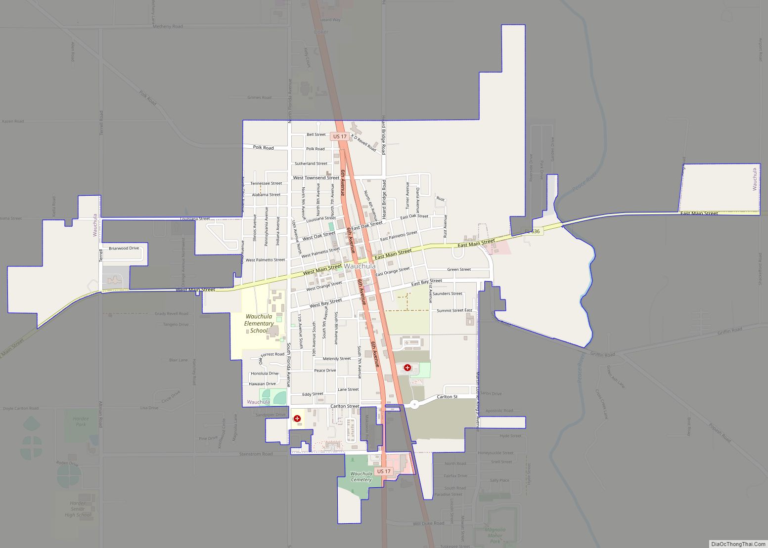
Lemon Grove is in northeastern Hardee County, 8 miles (13 km) east of Wauchula, the county seat, and 11 miles (18 km) west of Avon Park.
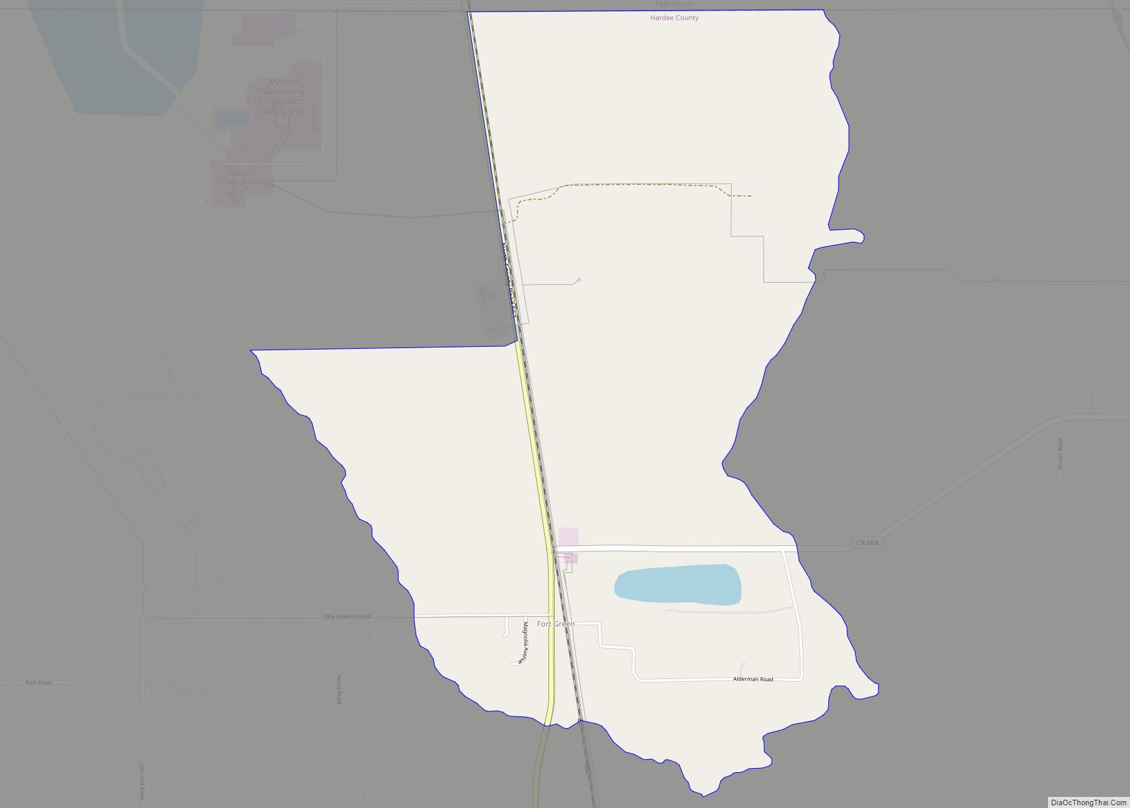
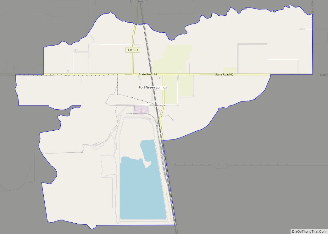
According to the U.S. Census Bureau, the community has an area of 29.845 square miles (77.30 km); 29.836 square miles (77.27 km) of its area is land, and 0.009 square miles (0.023 km) is water. Charlie Creek, a south-flowing tributary of the Peace River, is the primary water body in the area.
See also
Map of Florida State and its subdivision:- Alachua
- Baker
- Bay
- Bradford
- Brevard
- Broward
- Calhoun
- Charlotte
- Citrus
- Clay
- Collier
- Columbia
- Desoto
- Dixie
- Duval
- Escambia
- Flagler
- Franklin
- Gadsden
- Gilchrist
- Glades
- Gulf
- Hamilton
- Hardee
- Hendry
- Hernando
- Highlands
- Hillsborough
- Holmes
- Indian River
- Jackson
- Jefferson
- Lafayette
- Lake
- Lee
- Leon
- Levy
- Liberty
- Madison
- Manatee
- Marion
- Martin
- Miami-Dade
- Monroe
- Nassau
- Okaloosa
- Okeechobee
- Orange
- Osceola
- Palm Beach
- Pasco
- Pinellas
- Polk
- Putnam
- Saint Johns
- Saint Lucie
- Santa Rosa
- Sarasota
- Seminole
- Sumter
- Suwannee
- Taylor
- Union
- Volusia
- Wakulla
- Walton
- Washington
- Alabama
- Alaska
- Arizona
- Arkansas
- California
- Colorado
- Connecticut
- Delaware
- District of Columbia
- Florida
- Georgia
- Hawaii
- Idaho
- Illinois
- Indiana
- Iowa
- Kansas
- Kentucky
- Louisiana
- Maine
- Maryland
- Massachusetts
- Michigan
- Minnesota
- Mississippi
- Missouri
- Montana
- Nebraska
- Nevada
- New Hampshire
- New Jersey
- New Mexico
- New York
- North Carolina
- North Dakota
- Ohio
- Oklahoma
- Oregon
- Pennsylvania
- Rhode Island
- South Carolina
- South Dakota
- Tennessee
- Texas
- Utah
- Vermont
- Virginia
- Washington
- West Virginia
- Wisconsin
- Wyoming