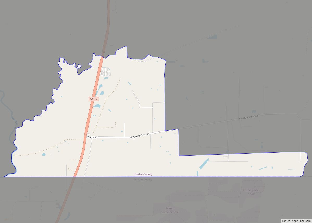
Zolfo Springs is a town in Hardee County, Florida, United States. The population was 1,827 at the 2010 census, up from 1,641 at the 2000 census.
| Name: | Zolfo Springs town |
|---|---|
| LSAD Code: | 43 |
| LSAD Description: | town (suffix) |
| State: | Florida |
| County: | Hardee County |
| Elevation: | 66 ft (20 m) |
| Total Area: | 1.74 sq mi (4.50 km²) |
| Land Area: | 1.74 sq mi (4.50 km²) |
| Water Area: | 0.00 sq mi (0.00 km²) |
| Total Population: | 1,737 |
| Population Density: | 998.85/sq mi (385.60/km²) |
| ZIP code: | 33890 |
| Area code: | 863 |
| FIPS code: | 1279250 |
| GNISfeature ID: | 0293628 |
| Website: | www.townofzolfo.com |
Online Interactive Map
Click on ![]() to view map in "full screen" mode.
to view map in "full screen" mode.
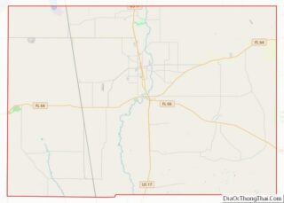
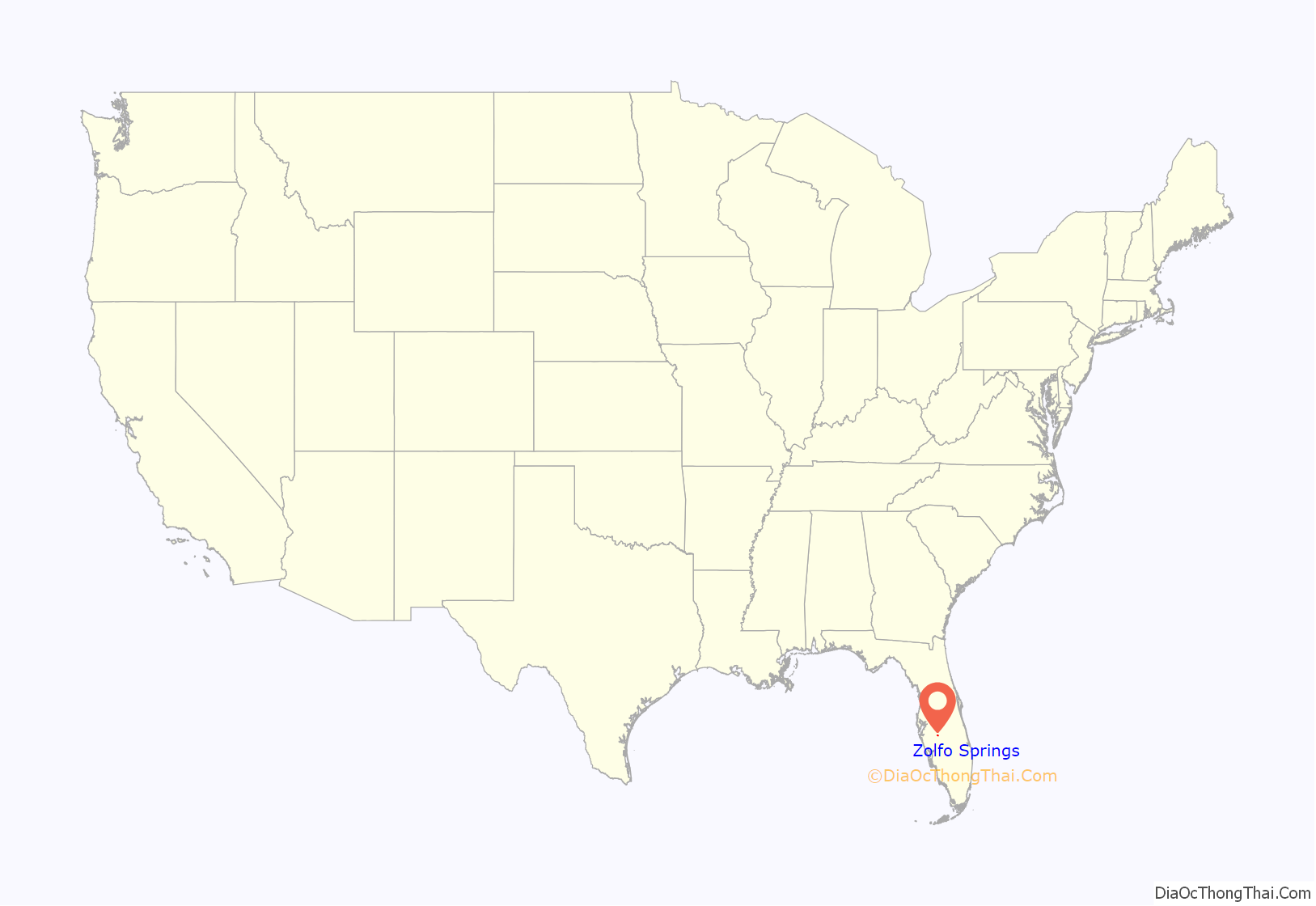
Zolfo Springs location map. Where is Zolfo Springs town?

History
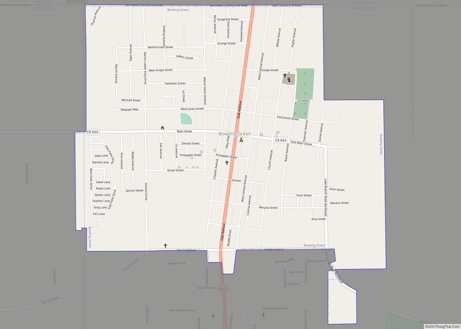
Early prosperity in the area (known initially as simply Zolfo) was due to its location along the Florida Cracker Trail, a cattle trail from Bradenton to Fort Pierce. Cattle herded from this area and the Florida Heartland was run to the coasts along this route as early as 1850. The Florida Cracker Trail today includes parts of State Road 64 and State Road 66 through Zolfo Springs.
In 1886, transportation improved through Zolfo when the Florida Southern Railway (later the Atlantic Coast Line Railroad) was built through the town on its way from Bartow to Punta Gorda. The railroad built a depot in the town and a post office was established the same year. The railroad was removed in the early 1980s. Today US 17 runs along the former railroad right of way (with Main Street being the original alignment of US 17).
The town incorporated into the city of Zolfo Springs on September 13, 1904.
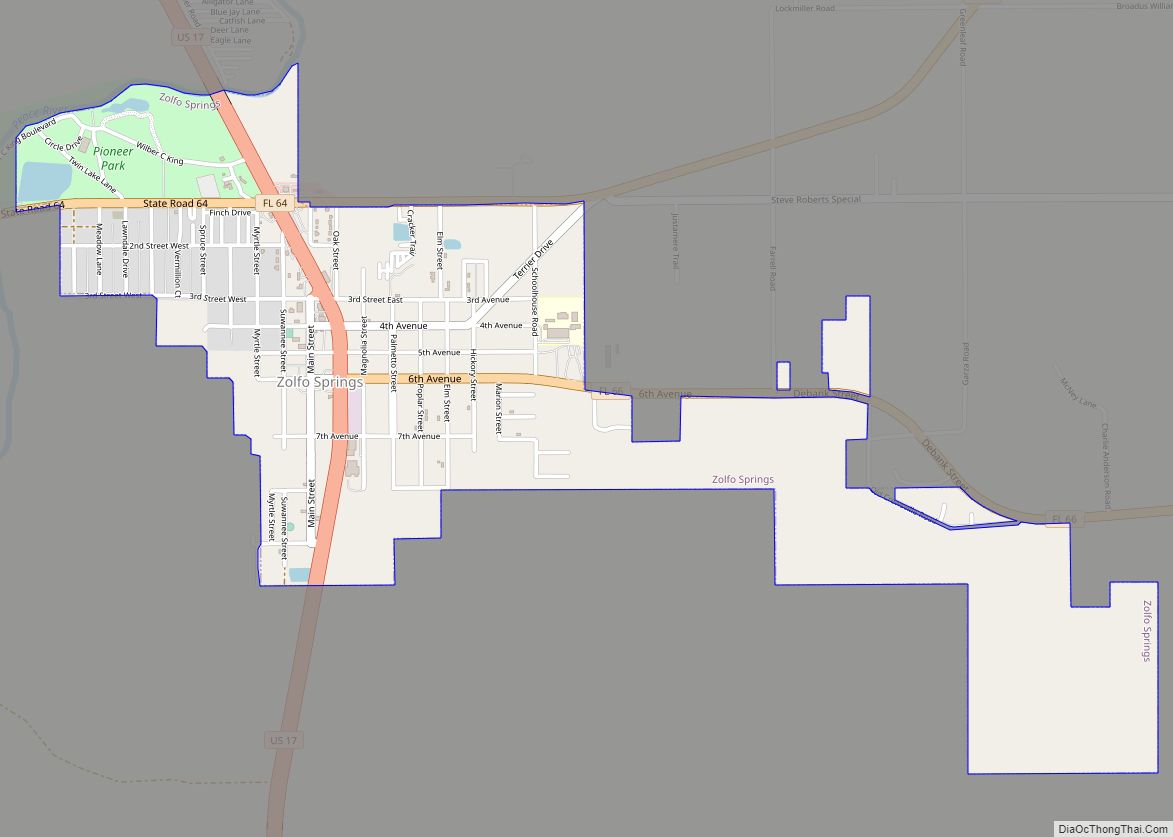
Zolfo Springs Road Map

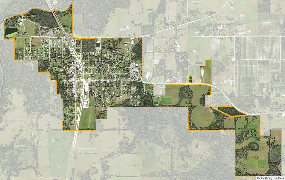
Zolfo Springs city Satellite Map
Geography
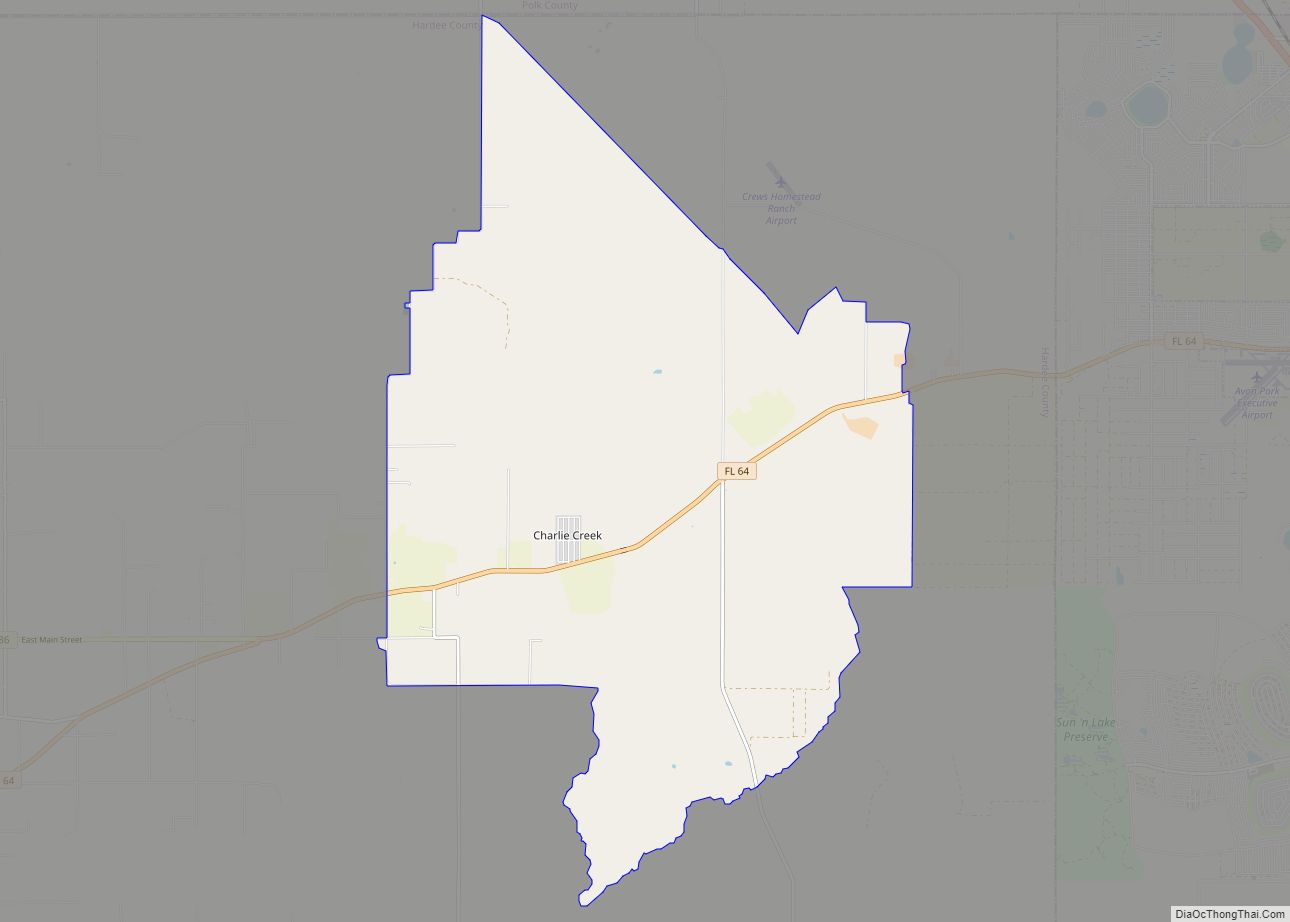
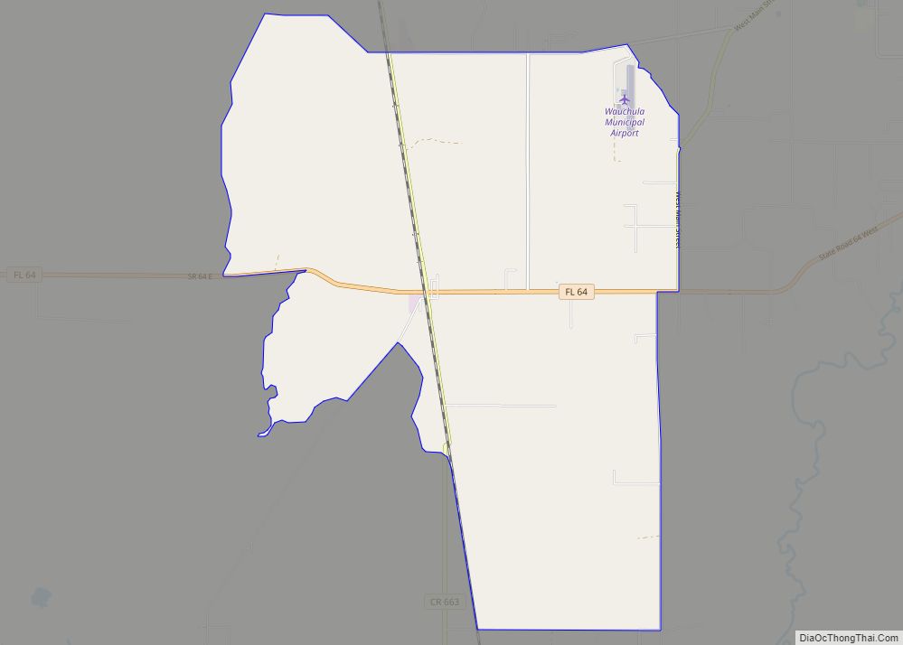
Zolfo Springs is located at the geographic center of Hardee County, at 27°29′46″N 81°47′49″W / 27.49611°N 81.79694°W / 27.49611; -81.79694 (27.496211, –81.796878). U.S. Route 17 runs through the center of town, leading north 4 miles (6 km) to Wauchula, the county seat, and south 20 miles (32 km) to Arcadia. Florida State Road 64 crosses the northern side of town, leading northeast 18 miles (29 km) to Avon Park and west 50 miles (80 km) to Bradenton. SR 66 leaves US 17 at the center of Zolfo Springs and leads east 25 miles (40 km) to U.S. Route 27 at the south end of Sebring.
According to the United States Census Bureau, Zolfo Springs has a total area of 1.7 square miles (4.5 km), all of it land. The Peace River, which flows south to Punta Gorda, forms part of the northern town boundary. Pioneer Park Lake and Pioneer Park are also inside the town’s boundaries.
See also
Map of Florida State and its subdivision:- Alachua
- Baker
- Bay
- Bradford
- Brevard
- Broward
- Calhoun
- Charlotte
- Citrus
- Clay
- Collier
- Columbia
- Desoto
- Dixie
- Duval
- Escambia
- Flagler
- Franklin
- Gadsden
- Gilchrist
- Glades
- Gulf
- Hamilton
- Hardee
- Hendry
- Hernando
- Highlands
- Hillsborough
- Holmes
- Indian River
- Jackson
- Jefferson
- Lafayette
- Lake
- Lee
- Leon
- Levy
- Liberty
- Madison
- Manatee
- Marion
- Martin
- Miami-Dade
- Monroe
- Nassau
- Okaloosa
- Okeechobee
- Orange
- Osceola
- Palm Beach
- Pasco
- Pinellas
- Polk
- Putnam
- Saint Johns
- Saint Lucie
- Santa Rosa
- Sarasota
- Seminole
- Sumter
- Suwannee
- Taylor
- Union
- Volusia
- Wakulla
- Walton
- Washington
- Alabama
- Alaska
- Arizona
- Arkansas
- California
- Colorado
- Connecticut
- Delaware
- District of Columbia
- Florida
- Georgia
- Hawaii
- Idaho
- Illinois
- Indiana
- Iowa
- Kansas
- Kentucky
- Louisiana
- Maine
- Maryland
- Massachusetts
- Michigan
- Minnesota
- Mississippi
- Missouri
- Montana
- Nebraska
- Nevada
- New Hampshire
- New Jersey
- New Mexico
- New York
- North Carolina
- North Dakota
- Ohio
- Oklahoma
- Oregon
- Pennsylvania
- Rhode Island
- South Carolina
- South Dakota
- Tennessee
- Texas
- Utah
- Vermont
- Virginia
- Washington
- West Virginia
- Wisconsin
- Wyoming