Wauchula is a city and the county seat of Hardee County, Florida, United States. As of the 2010 census it had a population of 5,001, up from 4,368 at the 2000 census.
Wauchula has been called the “cucumber capital of the world”, although citrus has become a more important agricultural crop over the past few decades. It is home to the Downtown Wauchula Historic District and Albert Carlton Estate.
| Name: | Wauchula city |
|---|---|
| LSAD Code: | 25 |
| LSAD Description: | city (suffix) |
| State: | Florida |
| County: | Hardee County |
| Incorporated: | September 29, 1902; 120 years ago (1902-09-29) |
| Elevation: | 112 ft (34 m) |
| Total Area: | 3.27 sq mi (8.46 km²) |
| Land Area: | 3.27 sq mi (8.46 km²) |
| Water Area: | 0.00 sq mi (0.00 km²) |
| Total Population: | 4,900 |
| Population Density: | 1,499.85/sq mi (579.13/km²) |
| ZIP code: | 33873 |
| Area code: | 863 |
| FIPS code: | 1275375 |
| GNISfeature ID: | 0292949 |
| Website: | cityofwauchula.com |
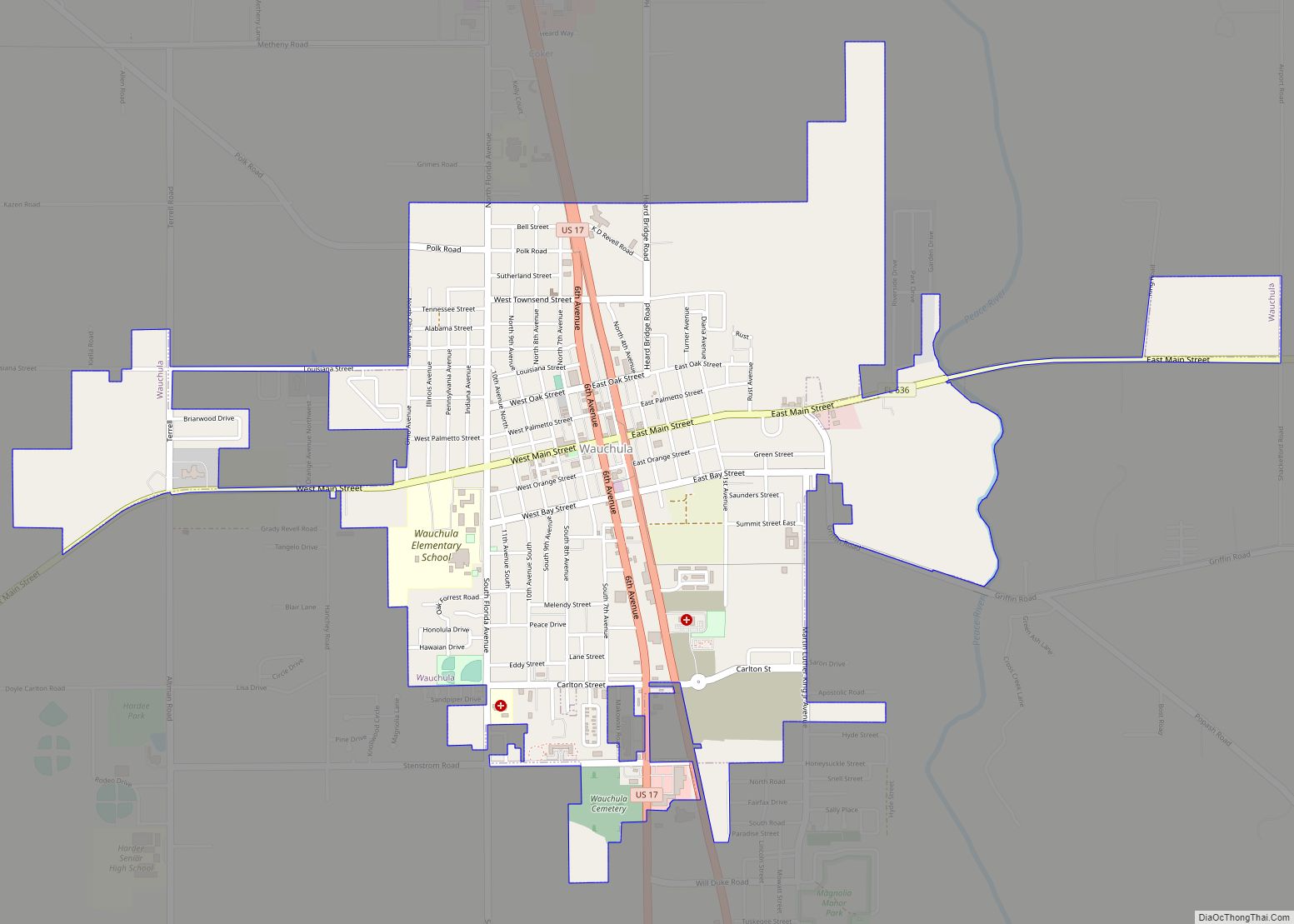
Online Interactive Map
Click on ![]() to view map in "full screen" mode.
to view map in "full screen" mode.
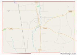
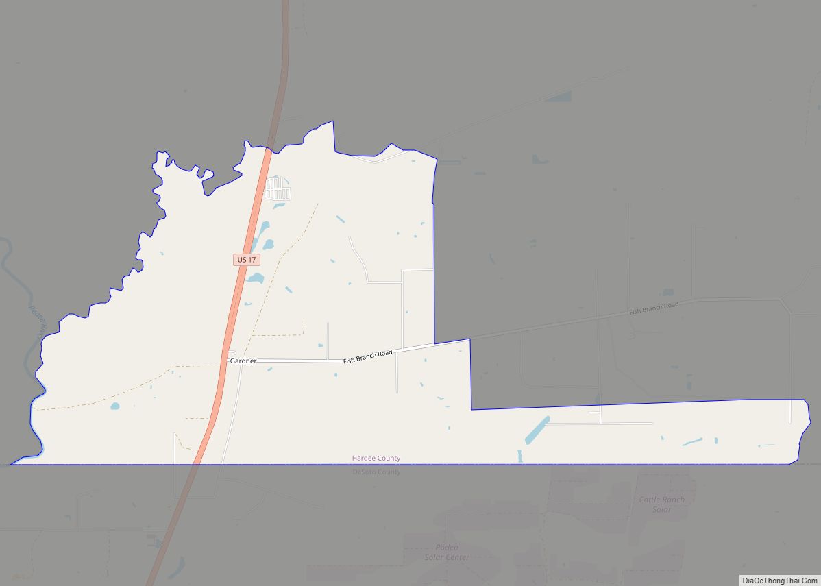
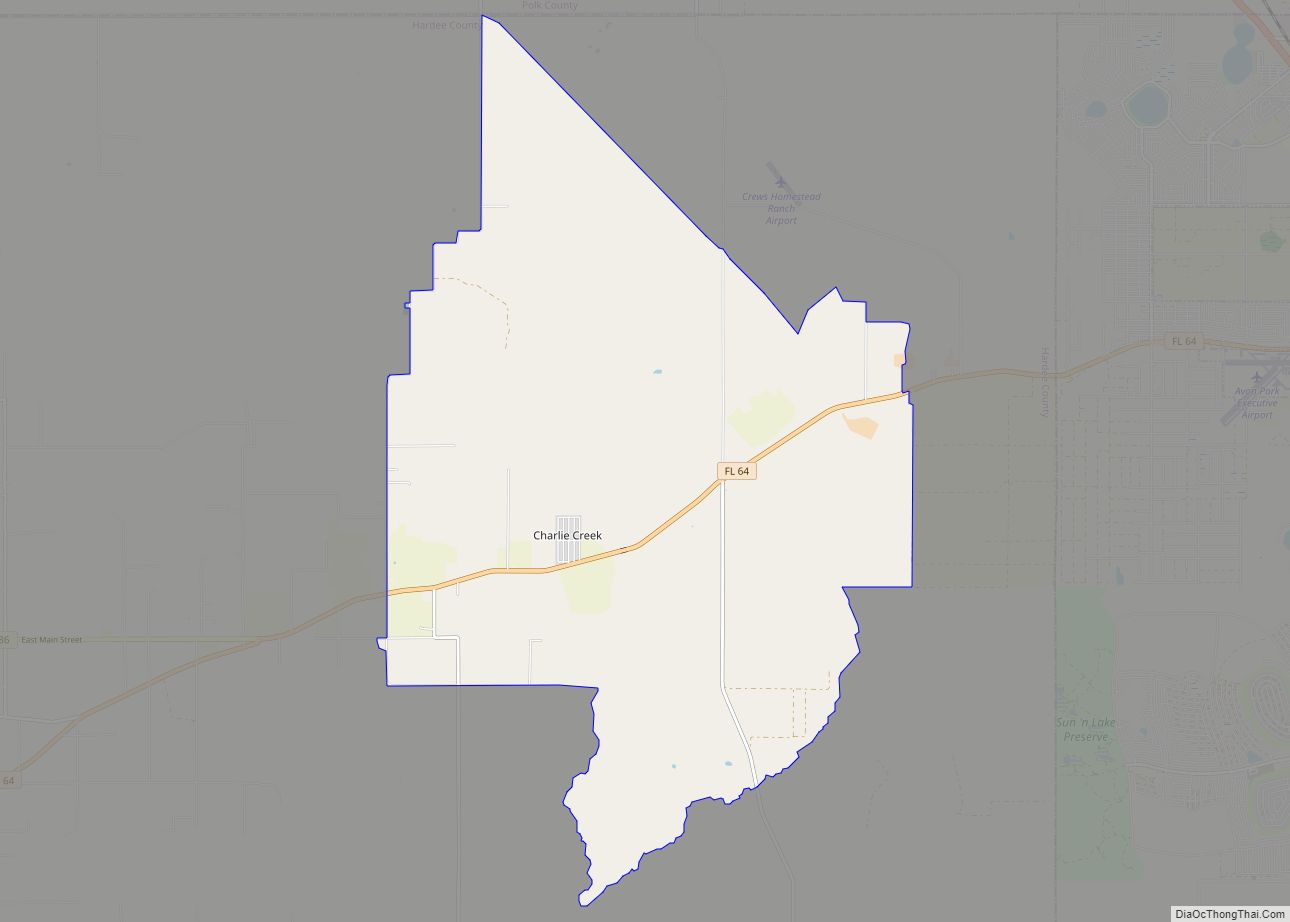
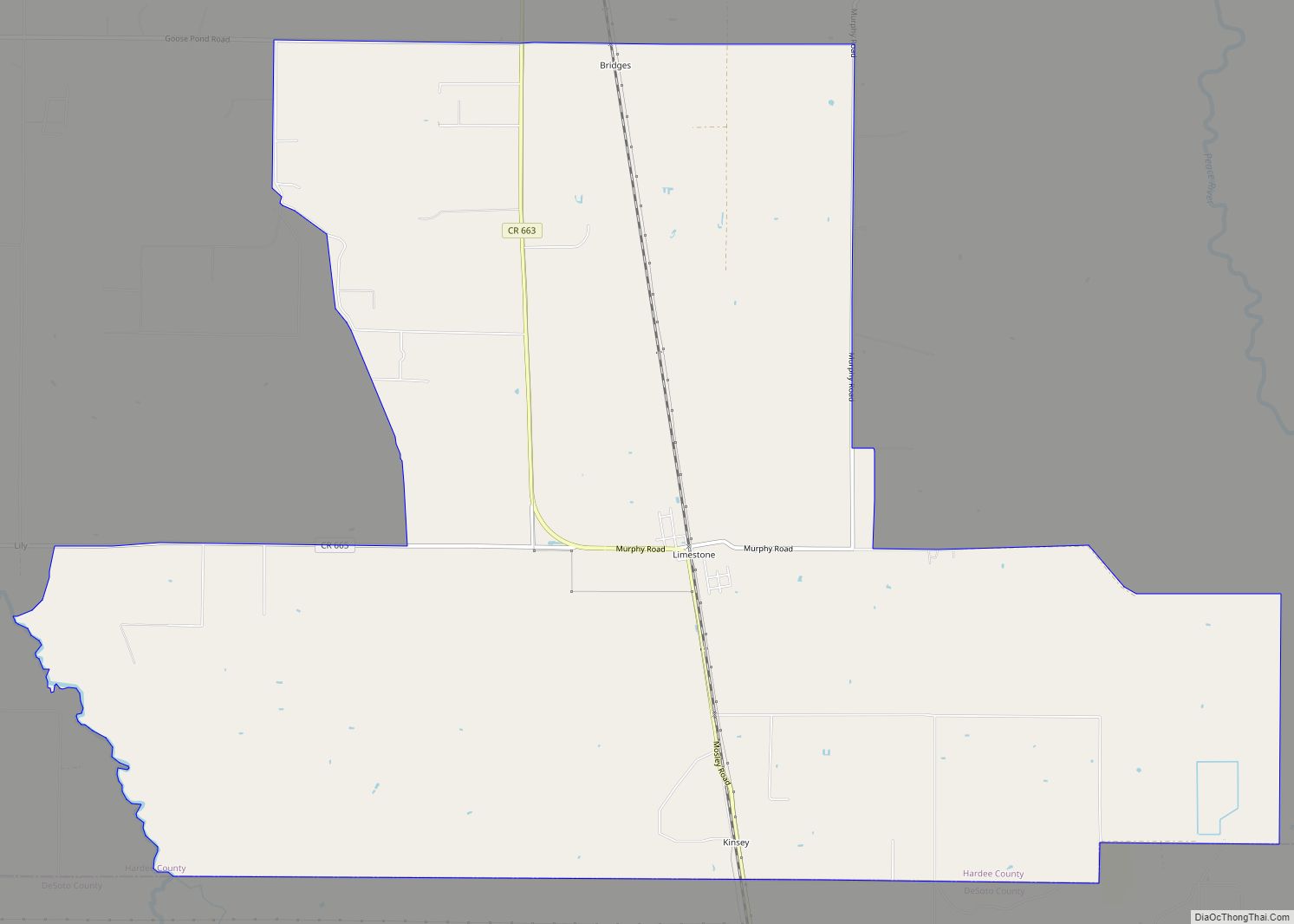
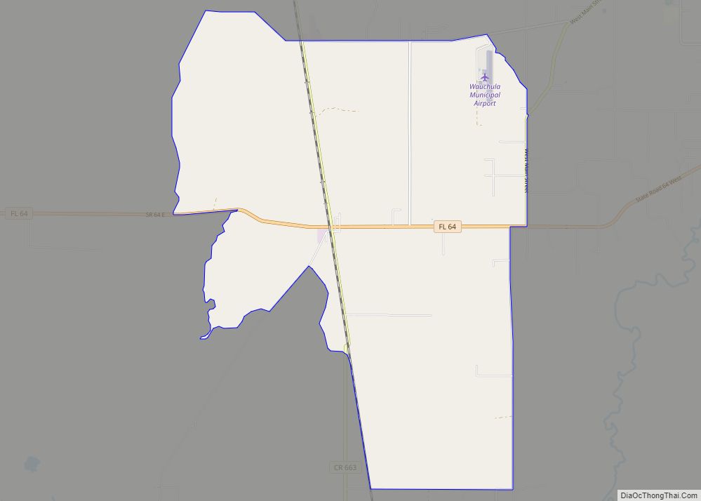
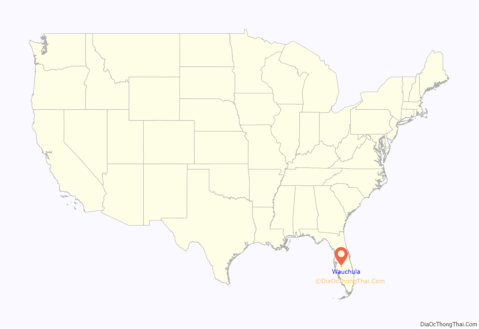
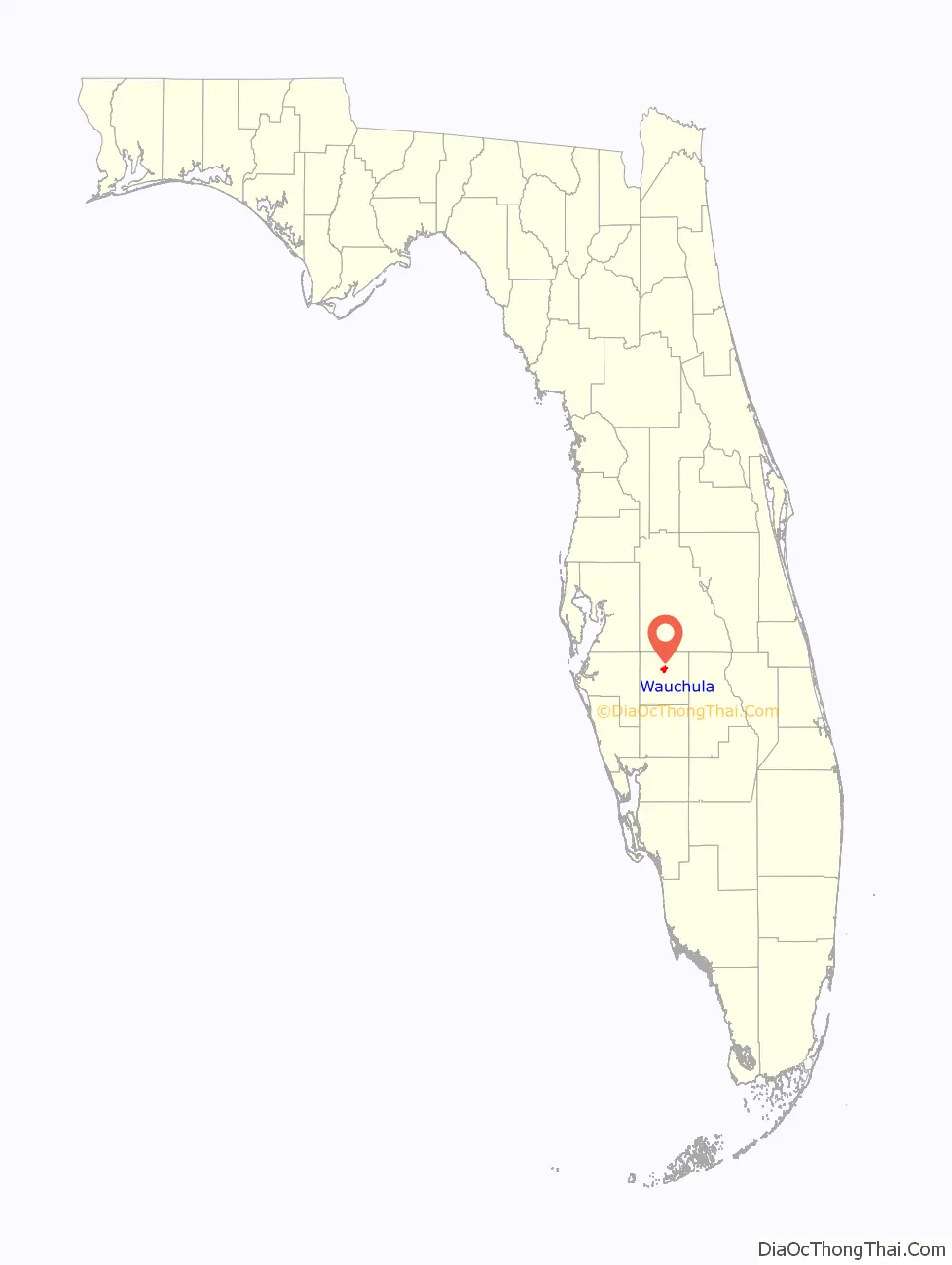
Wauchula location map. Where is Wauchula city?
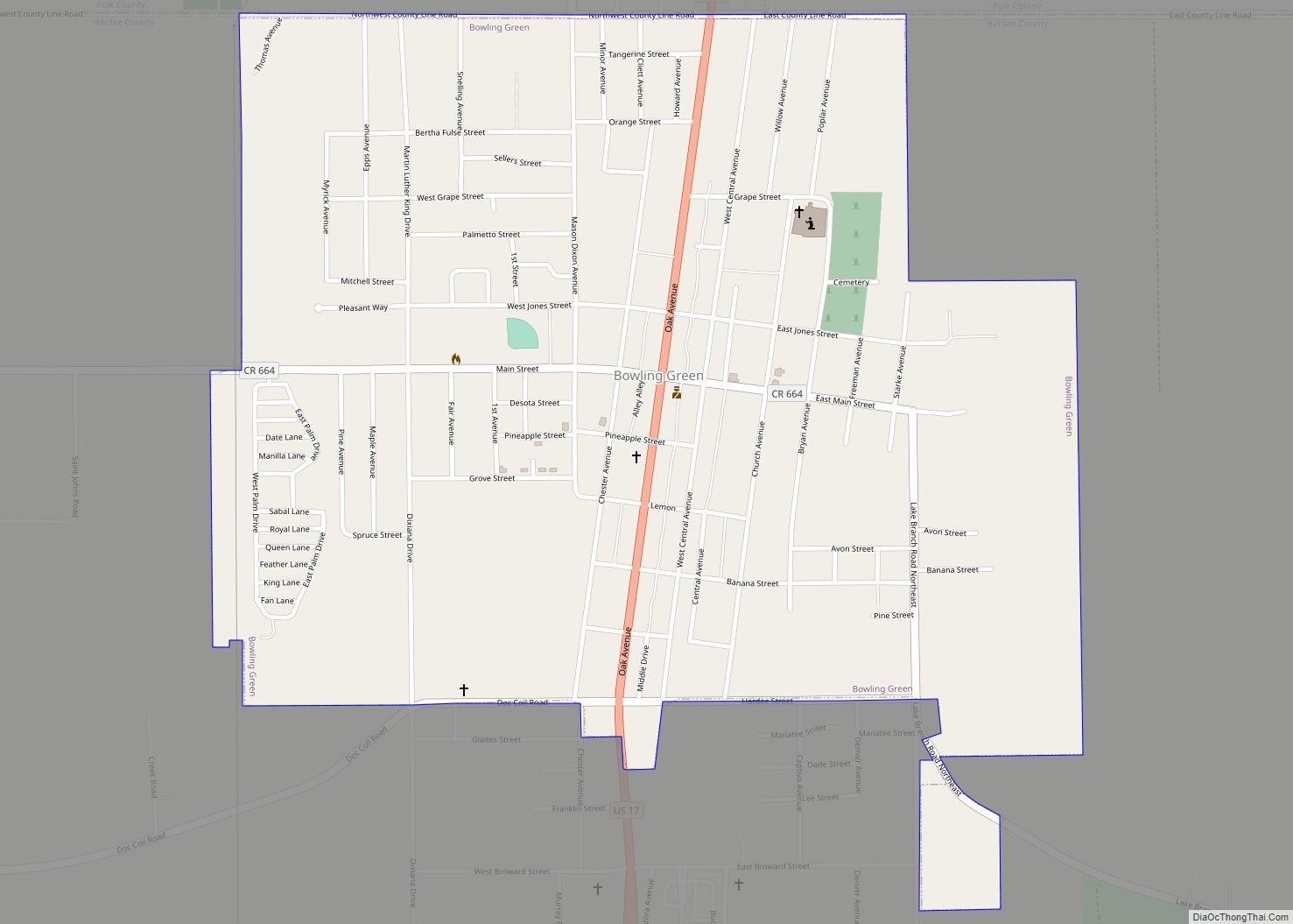
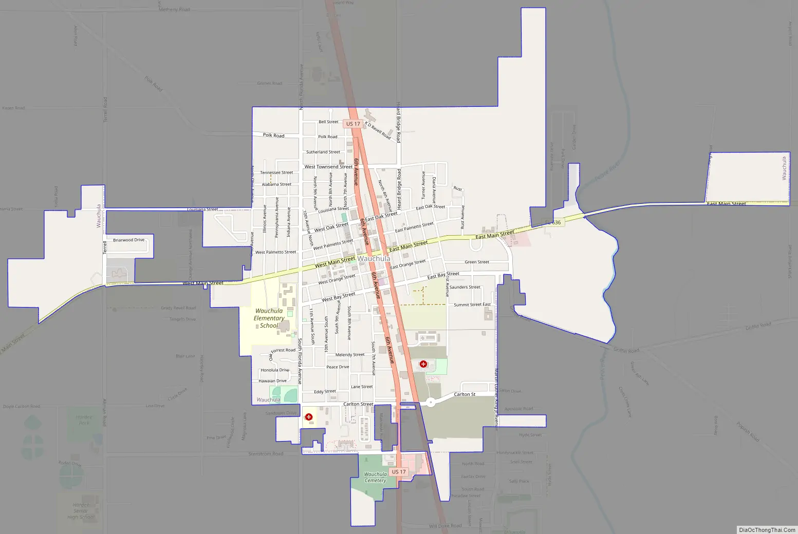
Wauchula Road Map
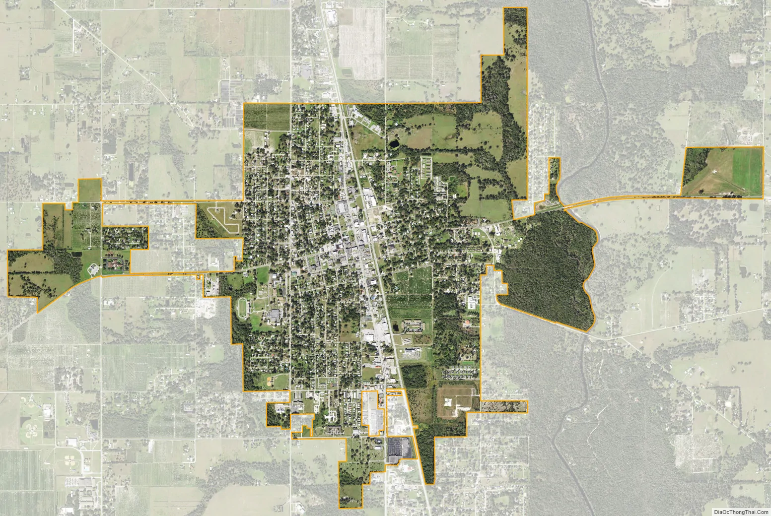
Wauchula city Satellite Map
Geography
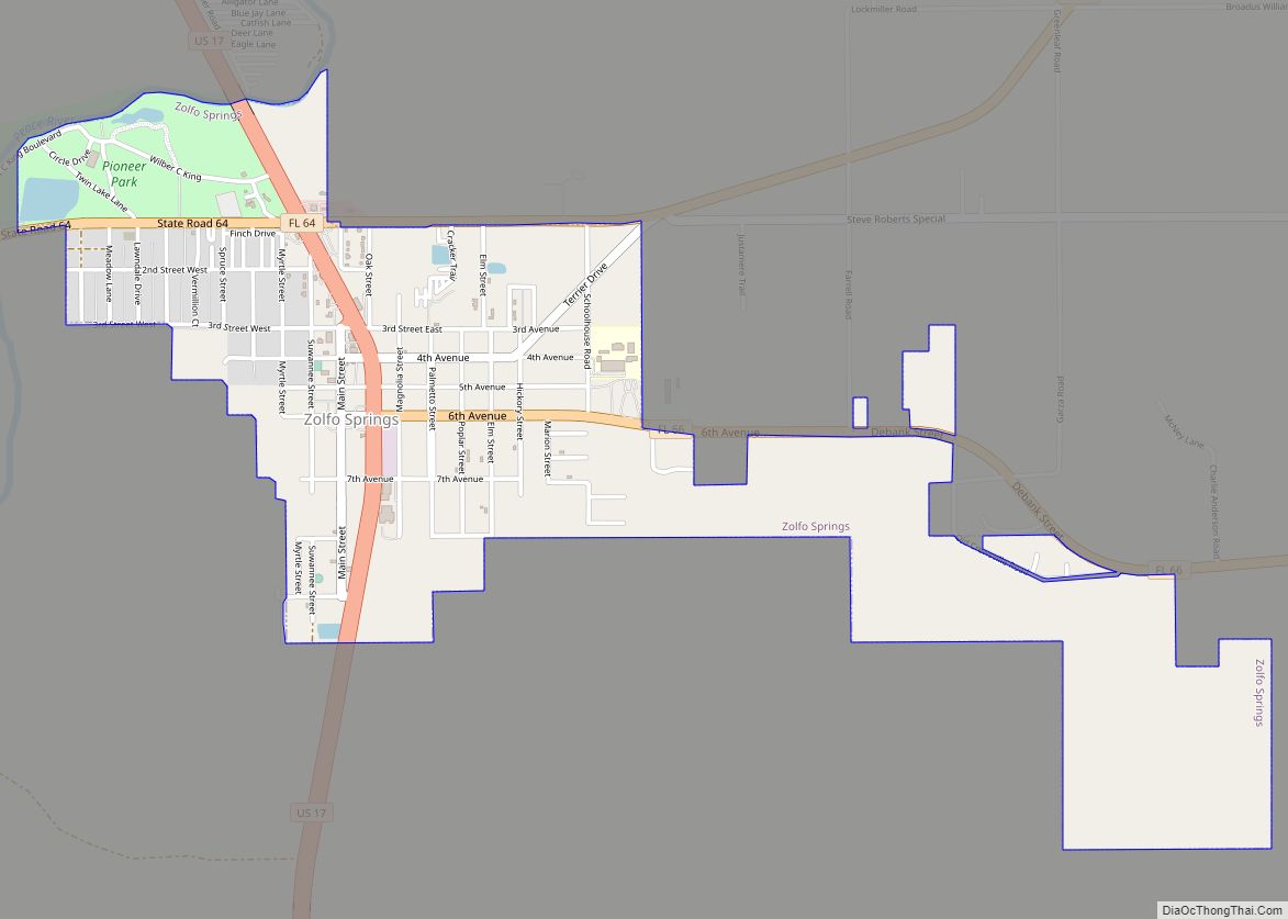
Wauchula is located in north-central Hardee County. U.S. Route 17 passes through the city, leading north 25 miles (40 km) to Bartow and south 24 miles (39 km) to Arcadia. Within the county, Zolfo Springs is 4 miles (6 km) to the south on US 17 and Bowling Green is 6 miles (10 km) to the north.
According to the United States Census Bureau, Wauchula has an area of 3.3 square miles (8.6 km), all land.
Hurricane Charley
Hurricane Charley hit Wauchula at c. 5:30 on Friday, August 13, 2004, causing more than $750 million in damage. Sustained winds of 140 mph (230 km/h), with gusts of over 160 mph (260 km/h), were clocked in downtown Wauchula. The entire area had either no running water, or contaminated water for one week. Power was lost to many sections for nearly three weeks, with school canceled for two weeks. The area was declared a federal disaster area after 85% of its buildings were either damaged or destroyed. There was a curfew set for the area for weeks after from 8 pm to 7 am.
Climate
The climate in this area is characterized by hot, humid summers and warm winters. According to the Köppen climate classification system, Wauchula has a humid subtropical climate (Cfa).
See also
Map of Florida State and its subdivision:- Alachua
- Baker
- Bay
- Bradford
- Brevard
- Broward
- Calhoun
- Charlotte
- Citrus
- Clay
- Collier
- Columbia
- Desoto
- Dixie
- Duval
- Escambia
- Flagler
- Franklin
- Gadsden
- Gilchrist
- Glades
- Gulf
- Hamilton
- Hardee
- Hendry
- Hernando
- Highlands
- Hillsborough
- Holmes
- Indian River
- Jackson
- Jefferson
- Lafayette
- Lake
- Lee
- Leon
- Levy
- Liberty
- Madison
- Manatee
- Marion
- Martin
- Miami-Dade
- Monroe
- Nassau
- Okaloosa
- Okeechobee
- Orange
- Osceola
- Palm Beach
- Pasco
- Pinellas
- Polk
- Putnam
- Saint Johns
- Saint Lucie
- Santa Rosa
- Sarasota
- Seminole
- Sumter
- Suwannee
- Taylor
- Union
- Volusia
- Wakulla
- Walton
- Washington
- Alabama
- Alaska
- Arizona
- Arkansas
- California
- Colorado
- Connecticut
- Delaware
- District of Columbia
- Florida
- Georgia
- Hawaii
- Idaho
- Illinois
- Indiana
- Iowa
- Kansas
- Kentucky
- Louisiana
- Maine
- Maryland
- Massachusetts
- Michigan
- Minnesota
- Mississippi
- Missouri
- Montana
- Nebraska
- Nevada
- New Hampshire
- New Jersey
- New Mexico
- New York
- North Carolina
- North Dakota
- Ohio
- Oklahoma
- Oregon
- Pennsylvania
- Rhode Island
- South Carolina
- South Dakota
- Tennessee
- Texas
- Utah
- Vermont
- Virginia
- Washington
- West Virginia
- Wisconsin
- Wyoming