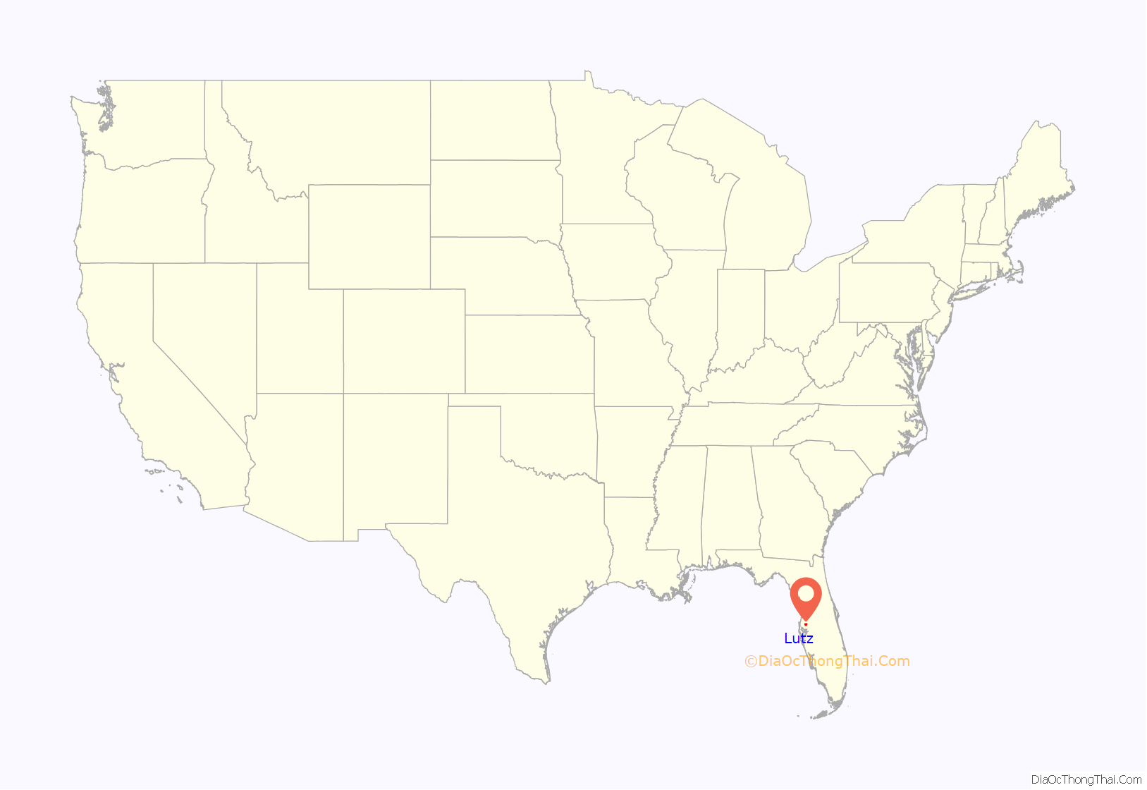
Lutz /ˈluːts/ is an unincorporated community in Hillsborough County and Pasco County, Florida, United States, 15 miles (24 km) north of Tampa. While there is a census-designated area of Lutz, the community itself extends beyond those boundaries into other census-designated areas.
| Name: | Lutz CDP |
|---|---|
| LSAD Code: | 57 |
| LSAD Description: | CDP (suffix) |
| State: | Florida |
| County: | Hillsborough County |
| Elevation: | 69 ft (21 m) |
| Total Area: | 26.84 sq mi (69.51 km²) |
| Land Area: | 24.43 sq mi (63.27 km²) |
| Water Area: | 2.41 sq mi (6.24 km²) |
| Total Population: | 23,707 |
| Population Density: | 970.48/sq mi (374.70/km²) |
| Area code: | 813 |
| FIPS code: | 1241775 |
| GNISfeature ID: | 0286224 |
Online Interactive Map
Click on ![]() to view map in "full screen" mode.
to view map in "full screen" mode.
Lutz location map. Where is Lutz CDP?

History
Lutz began with the construction of a small train depot on the Tampa Northern Railroad. The area surrounding the depot officially became known as “Lutz” when the U.S. Postal Service authorized a post office. The community was named for W. P. Lutz, who was credited with bringing the railroad to town.
As people moved to the rural community from Tampa, the Lutz area continued to grow until it no longer depended on the “Lutz Junction”, which was demolished in the late 1960s.
In 2000, a replica of the depot was rebuilt in the approximate location, which is now at the intersection of Lutz-Lake Fern Road and U.S. Highway 41. The post office’s structure is still in the same place today, although it is now an art gallery. A public library is located behind the train depot replica. This area is known as “Beautiful Downtown Lutz” and had a song written about it in 1981.
Part of the movie Edward Scissorhands was filmed on Tinsmith Circle in the neighborhood of Carpenter’s Run in north Lutz in Pasco County. In the credits the town is named in the “Thank you” section.
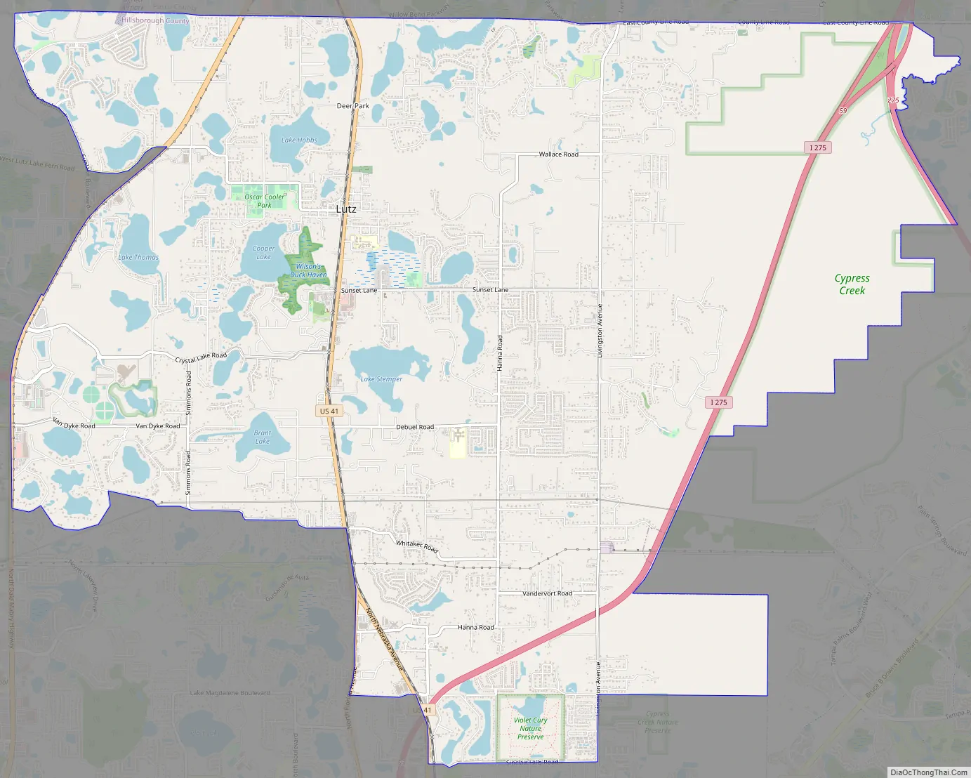
Lutz Road Map
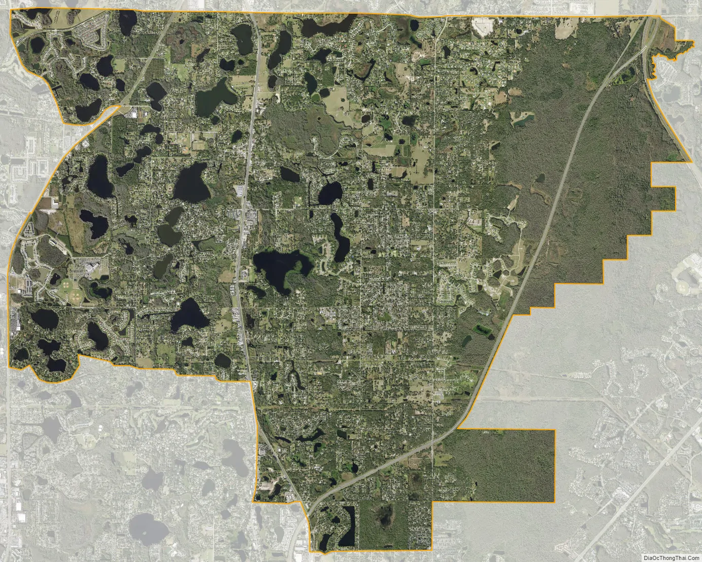
Lutz city Satellite Map
Geography
Lutz is located in northwestern Hillsborough County and southern Pasco County at 28°8′22″N 82°27′43″W / 28.13944°N 82.46194°W / 28.13944; -82.46194 (28.139428, -82.462028). It is bordered to the east by a region of Tampa known as New Tampa, to the south by the Lake Magdalene and University unincorporated communities, and to the west by unincorporated Keystone, all in Hillsborough County. To the north, Lutz is bordered by Land o’ Lakes and Wesley Chapel in Pasco County.
Interstate 275 runs through the east side of Lutz, joining its parent highway Interstate 75 in the northeast corner of the community. U.S. Route 41 runs through the center of Lutz, and Florida State Road 597 forms part of the western border. Downtown Tampa is 14 miles (23 km) to the south.
According to the United States Census Bureau, the Lutz CDP has a total area of 27.1 square miles (70.2 km), of which 24.6 square miles (63.8 km) are land and 2.5 square miles (6.4 km), or 9.06%, are water.
See also
Map of Florida State and its subdivision:- Alachua
- Baker
- Bay
- Bradford
- Brevard
- Broward
- Calhoun
- Charlotte
- Citrus
- Clay
- Collier
- Columbia
- Desoto
- Dixie
- Duval
- Escambia
- Flagler
- Franklin
- Gadsden
- Gilchrist
- Glades
- Gulf
- Hamilton
- Hardee
- Hendry
- Hernando
- Highlands
- Hillsborough
- Holmes
- Indian River
- Jackson
- Jefferson
- Lafayette
- Lake
- Lee
- Leon
- Levy
- Liberty
- Madison
- Manatee
- Marion
- Martin
- Miami-Dade
- Monroe
- Nassau
- Okaloosa
- Okeechobee
- Orange
- Osceola
- Palm Beach
- Pasco
- Pinellas
- Polk
- Putnam
- Saint Johns
- Saint Lucie
- Santa Rosa
- Sarasota
- Seminole
- Sumter
- Suwannee
- Taylor
- Union
- Volusia
- Wakulla
- Walton
- Washington
- Alabama
- Alaska
- Arizona
- Arkansas
- California
- Colorado
- Connecticut
- Delaware
- District of Columbia
- Florida
- Georgia
- Hawaii
- Idaho
- Illinois
- Indiana
- Iowa
- Kansas
- Kentucky
- Louisiana
- Maine
- Maryland
- Massachusetts
- Michigan
- Minnesota
- Mississippi
- Missouri
- Montana
- Nebraska
- Nevada
- New Hampshire
- New Jersey
- New Mexico
- New York
- North Carolina
- North Dakota
- Ohio
- Oklahoma
- Oregon
- Pennsylvania
- Rhode Island
- South Carolina
- South Dakota
- Tennessee
- Texas
- Utah
- Vermont
- Virginia
- Washington
- West Virginia
- Wisconsin
- Wyoming


