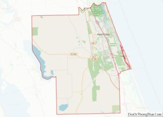
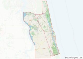
The town of Marineland was established in 1940 and is in Flagler and St. Johns counties, Florida, United States. The population was 16 in the 2010 census. Marineland is located 18 miles (29 km) south of St. Augustine along Route A1A. The Marineland marine park and the town of Marineland have become synonymous, however many do not realize that Marineland is a town in its own right. Like all proper municipalities, Marineland has its own local governing body complete with a mayor and city council board that meets monthly to discuss the town’s affairs. The town shares a ZIP Code with St. Augustine Beach.
The town of Marineland got its start when the Marineland Dolphin Adventure opened on June 23, 1938, as Marine Studios, a facility designed for Hollywood filmmakers to create underwater footage for motion pictures and newsreels. Popularly known as the “World’s First Oceanarium,” Marine Studios was the premier destination to allow the general public to experience marine life up-close.
Because of their proximity, the local businesses share close partnerships and vision. The town of Marineland is a hub of research and conservation and is set in the middle of the GTM-NERR (Guana Tolomato Matanzas National Estuarine Research Reserve), local businesses and foundations have close working relationships including Mobius Marine, Inc., Ripple Effect Eco Tours, Marineland Marina, Marineland Dolphin Adventure, University of Florida Whitney Laboratory, the Florida Master Naturalist Program, the southern facility for the GTM NERR, and Washington Oaks Gardens State Park and Faver-Dykes State Park.
The Flagler County portion of Marineland is part of the Deltona–Daytona Beach–Ormond Beach, FL metropolitan statistical area, while the St. Johns County portion is part of the Jacksonville Metropolitan Statistical Area.
| Name: | Marineland town |
|---|---|
| LSAD Code: | 43 |
| LSAD Description: | town (suffix) |
| State: | Florida |
| County: | Flagler County, St. Johns County |
| Elevation: | 7 ft (2 m) |
| Total Area: | 0.44 sq mi (1.15 km²) |
| Land Area: | 0.44 sq mi (1.13 km²) |
| Water Area: | 0.01 sq mi (0.02 km²) |
| Total Population: | 15 |
| Population Density: | 34.40/sq mi (13.27/km²) |
| FIPS code: | 1243250 |
| GNISfeature ID: | 0286429 |
Online Interactive Map
Click on ![]() to view map in "full screen" mode.
to view map in "full screen" mode.
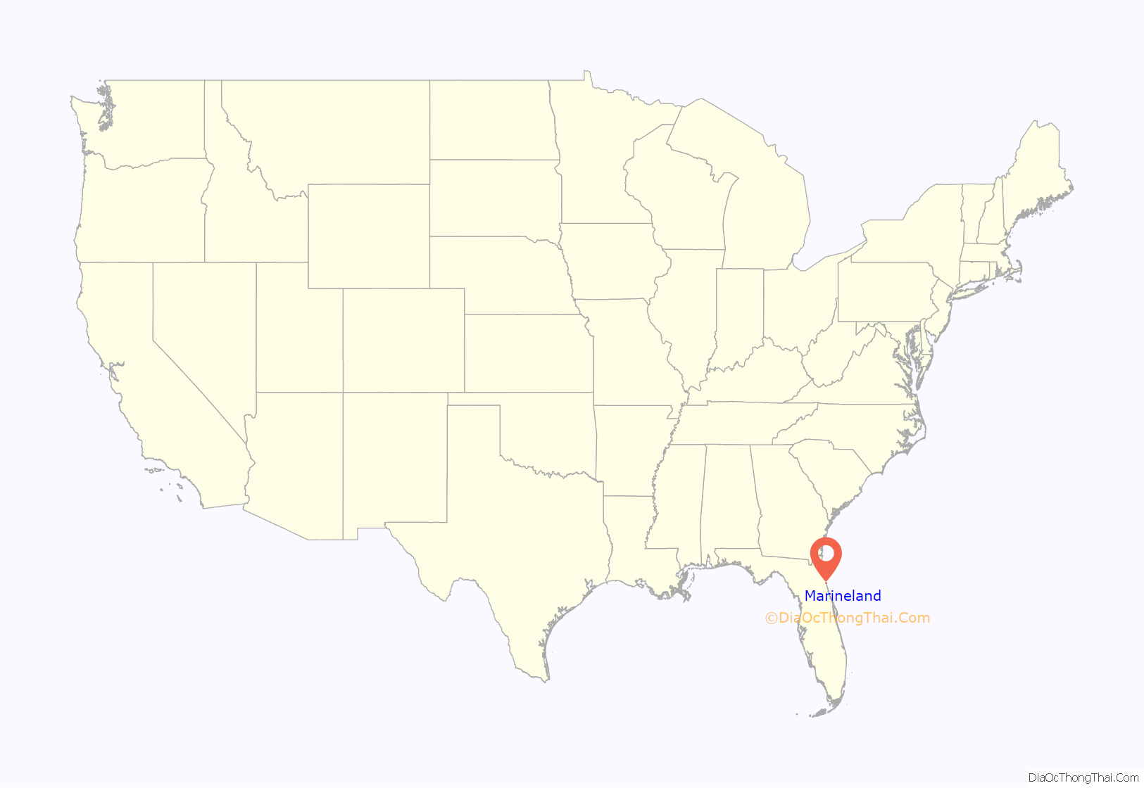
Marineland location map. Where is Marineland town?
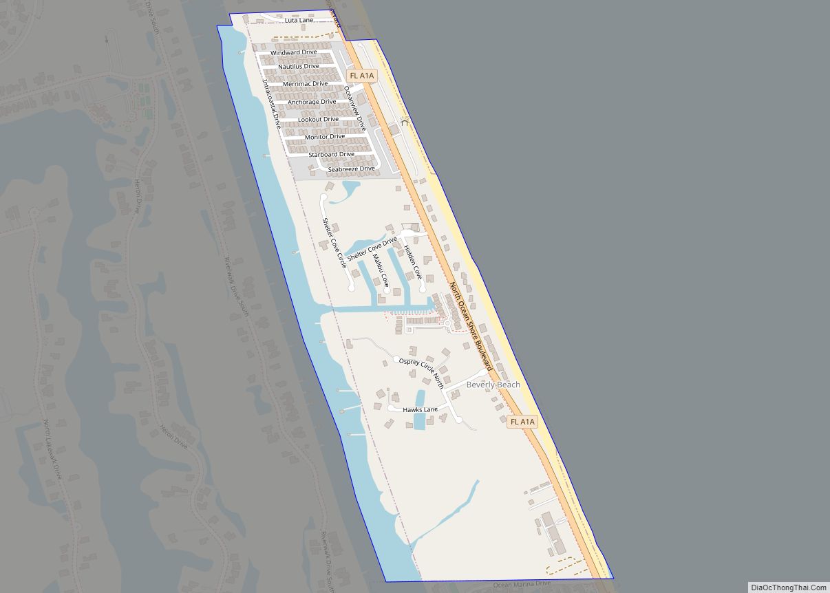
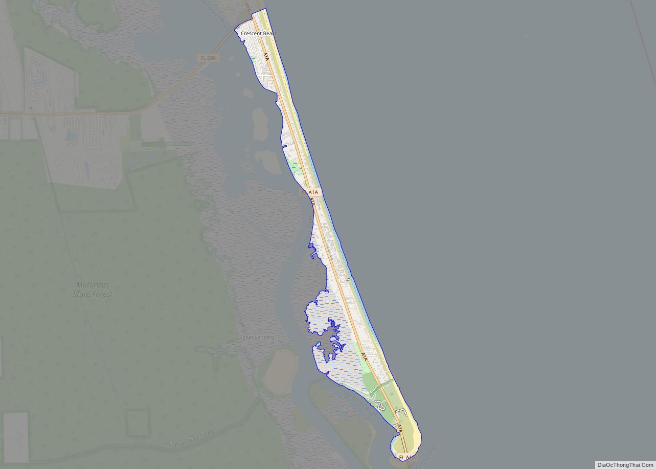
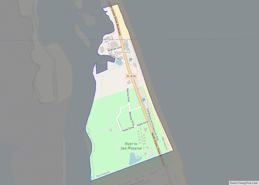
Marineland Road Map
Marineland city Satellite Map
Geography
Marineland is located at 29°40′03″N 81°12′49″W / 29.667443°N 81.213495°W / 29.667443; -81.213495.
According to the United States Census Bureau, the town has a total area of 0.27 square miles (0.69 km), all land.
See also
Map of Florida State and its subdivision:- Alachua
- Baker
- Bay
- Bradford
- Brevard
- Broward
- Calhoun
- Charlotte
- Citrus
- Clay
- Collier
- Columbia
- Desoto
- Dixie
- Duval
- Escambia
- Flagler
- Franklin
- Gadsden
- Gilchrist
- Glades
- Gulf
- Hamilton
- Hardee
- Hendry
- Hernando
- Highlands
- Hillsborough
- Holmes
- Indian River
- Jackson
- Jefferson
- Lafayette
- Lake
- Lee
- Leon
- Levy
- Liberty
- Madison
- Manatee
- Marion
- Martin
- Miami-Dade
- Monroe
- Nassau
- Okaloosa
- Okeechobee
- Orange
- Osceola
- Palm Beach
- Pasco
- Pinellas
- Polk
- Putnam
- Saint Johns
- Saint Lucie
- Santa Rosa
- Sarasota
- Seminole
- Sumter
- Suwannee
- Taylor
- Union
- Volusia
- Wakulla
- Walton
- Washington
- Alabama
- Alaska
- Arizona
- Arkansas
- California
- Colorado
- Connecticut
- Delaware
- District of Columbia
- Florida
- Georgia
- Hawaii
- Idaho
- Illinois
- Indiana
- Iowa
- Kansas
- Kentucky
- Louisiana
- Maine
- Maryland
- Massachusetts
- Michigan
- Minnesota
- Mississippi
- Missouri
- Montana
- Nebraska
- Nevada
- New Hampshire
- New Jersey
- New Mexico
- New York
- North Carolina
- North Dakota
- Ohio
- Oklahoma
- Oregon
- Pennsylvania
- Rhode Island
- South Carolina
- South Dakota
- Tennessee
- Texas
- Utah
- Vermont
- Virginia
- Washington
- West Virginia
- Wisconsin
- Wyoming
