Nassau Village-Ratliff is a census-designated place (CDP) in Nassau County, Florida, United States. The population was 5,337 at the 2010 census.
| Name: | Nassau Village-Ratliff CDP |
|---|---|
| LSAD Code: | 57 |
| LSAD Description: | CDP (suffix) |
| State: | Florida |
| County: | Nassau County |
| Total Area: | 14.67 sq mi (37.98 km²) |
| Land Area: | 14.67 sq mi (37.98 km²) |
| Water Area: | 0.00 sq mi (0.00 km²) |
| Total Population: | 5,561 |
| Population Density: | 379.18/sq mi (146.40/km²) |
| FIPS code: | 1247787 |
Online Interactive Map
Click on ![]() to view map in "full screen" mode.
to view map in "full screen" mode.
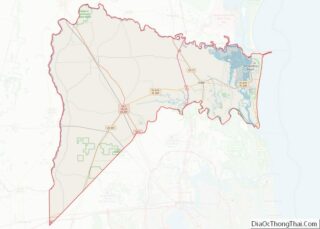
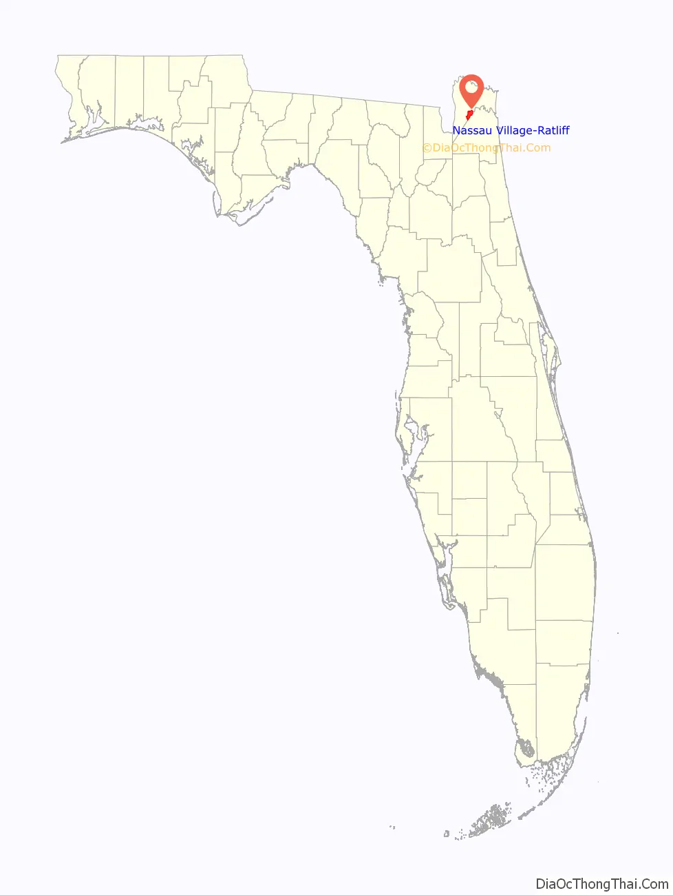
Nassau Village-Ratliff location map. Where is Nassau Village-Ratliff CDP?

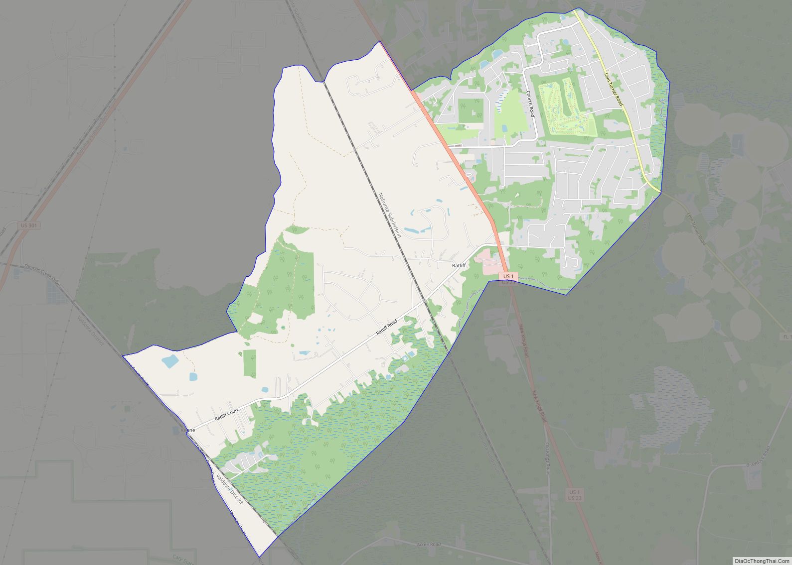
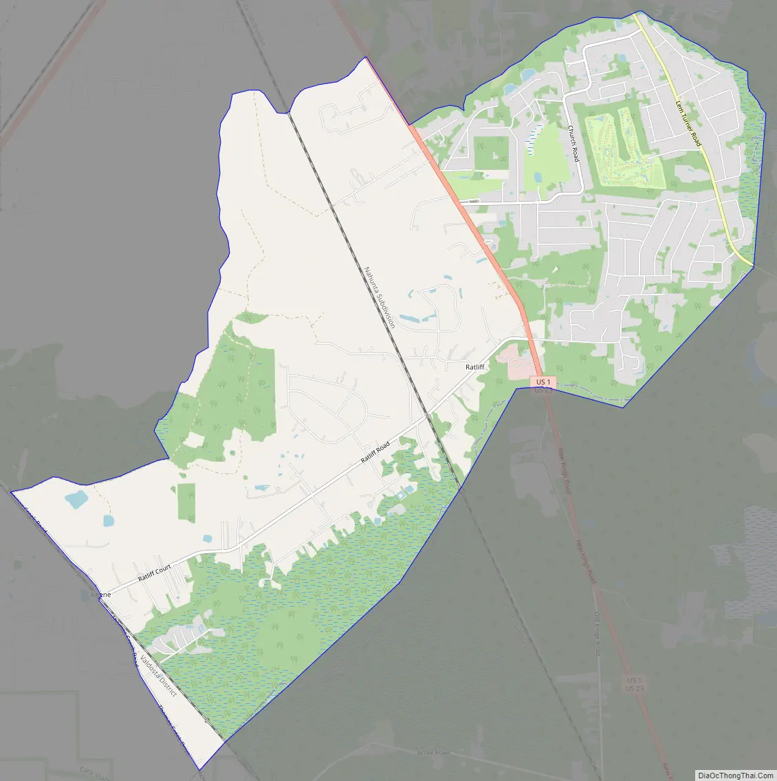
Nassau Village-Ratliff Road Map
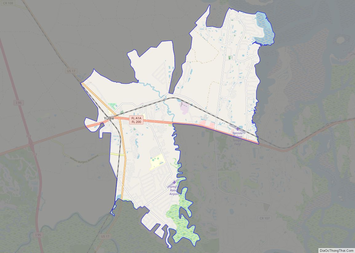
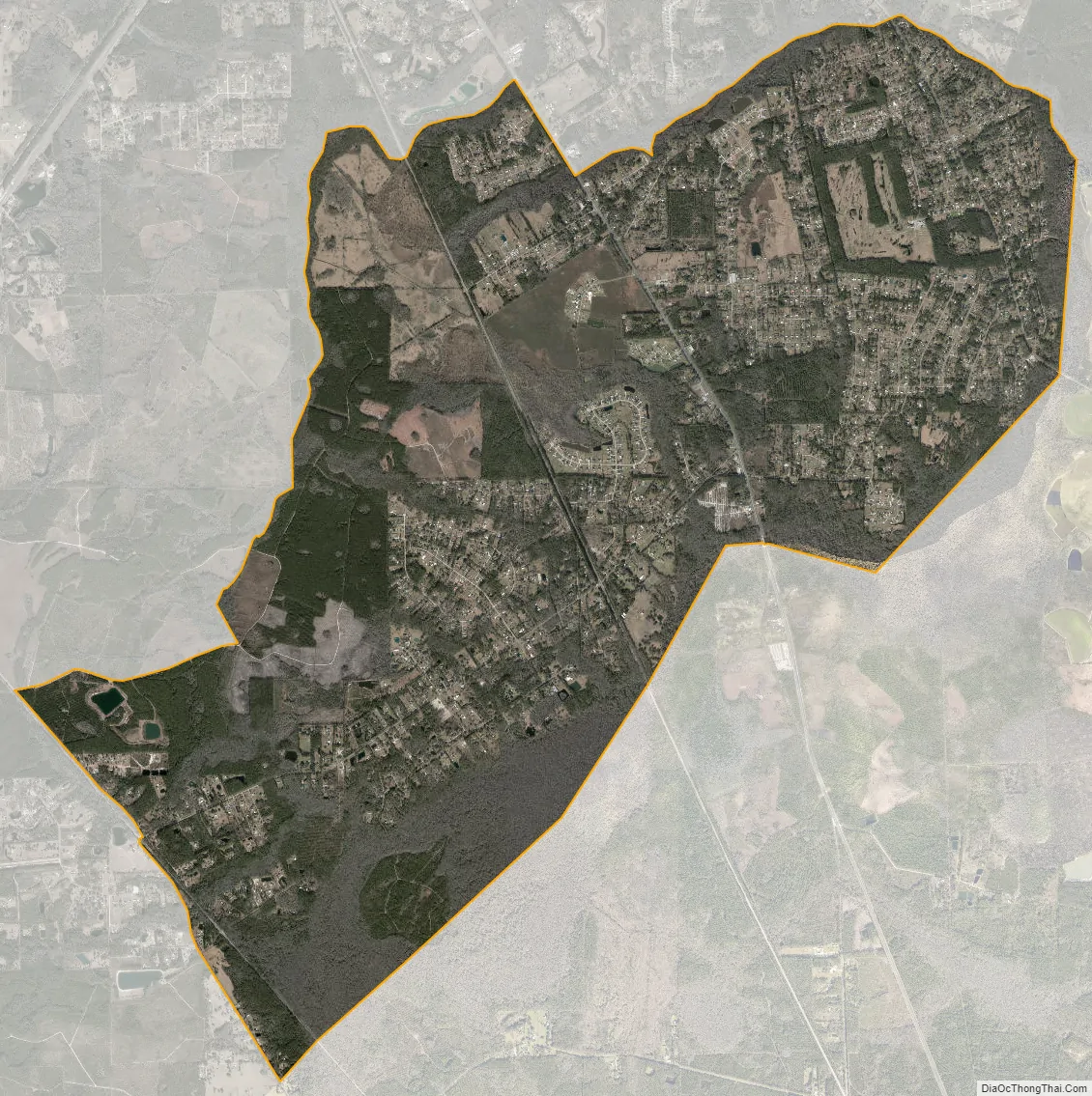
Nassau Village-Ratliff city Satellite Map
Geography
Nassau Village-Ratliff is located at 30°31′10″N 81°47′50″W / 30.51944°N 81.79722°W / 30.51944; -81.79722 (30.519362, -81.797327). The main roads through the community are U.S. Routes 1 and 23, though Florida State Road 115 runs through the northeastern edge of the community. The southwestern side is bordered along Thomas Creek Road and the Norfolk Southern Railway Valdosta District.
According to the United States Census Bureau, the CDP has a total area of 14.8 square miles (38.4 km), all land.
See also
Map of Florida State and its subdivision:- Alachua
- Baker
- Bay
- Bradford
- Brevard
- Broward
- Calhoun
- Charlotte
- Citrus
- Clay
- Collier
- Columbia
- Desoto
- Dixie
- Duval
- Escambia
- Flagler
- Franklin
- Gadsden
- Gilchrist
- Glades
- Gulf
- Hamilton
- Hardee
- Hendry
- Hernando
- Highlands
- Hillsborough
- Holmes
- Indian River
- Jackson
- Jefferson
- Lafayette
- Lake
- Lee
- Leon
- Levy
- Liberty
- Madison
- Manatee
- Marion
- Martin
- Miami-Dade
- Monroe
- Nassau
- Okaloosa
- Okeechobee
- Orange
- Osceola
- Palm Beach
- Pasco
- Pinellas
- Polk
- Putnam
- Saint Johns
- Saint Lucie
- Santa Rosa
- Sarasota
- Seminole
- Sumter
- Suwannee
- Taylor
- Union
- Volusia
- Wakulla
- Walton
- Washington
- Alabama
- Alaska
- Arizona
- Arkansas
- California
- Colorado
- Connecticut
- Delaware
- District of Columbia
- Florida
- Georgia
- Hawaii
- Idaho
- Illinois
- Indiana
- Iowa
- Kansas
- Kentucky
- Louisiana
- Maine
- Maryland
- Massachusetts
- Michigan
- Minnesota
- Mississippi
- Missouri
- Montana
- Nebraska
- Nevada
- New Hampshire
- New Jersey
- New Mexico
- New York
- North Carolina
- North Dakota
- Ohio
- Oklahoma
- Oregon
- Pennsylvania
- Rhode Island
- South Carolina
- South Dakota
- Tennessee
- Texas
- Utah
- Vermont
- Virginia
- Washington
- West Virginia
- Wisconsin
- Wyoming