Oakland is a town in Orange County, Florida, United States. The population was 3,516 at the 2020 Census, representing a growth of 38.5% over the population of 2,538 recorded during the 2010 census. It is part of the Orlando–Kissimmee Metropolitan Statistical Area.
| Name: | Oakland town |
|---|---|
| LSAD Code: | 43 |
| LSAD Description: | town (suffix) |
| State: | Florida |
| County: | Orange County |
| Elevation: | 121 ft (37 m) |
| Total Area: | 2.36 sq mi (6.12 km²) |
| Land Area: | 2.36 sq mi (6.11 km²) |
| Water Area: | 0.00 sq mi (0.01 km²) |
| Total Population: | 3,516 |
| Population Density: | 1,489.83/sq mi (575.30/km²) |
| ZIP code: | 34760, 34787 |
| Area code: | 407, 689 |
| FIPS code: | 1250525 |
| GNISfeature ID: | 0288004 |
| Website: | www.oaklandfl.gov |
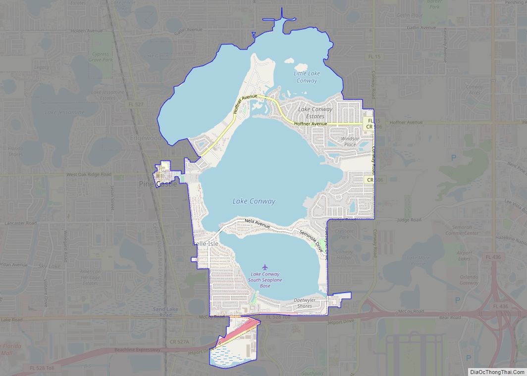
Online Interactive Map
Click on ![]() to view map in "full screen" mode.
to view map in "full screen" mode.
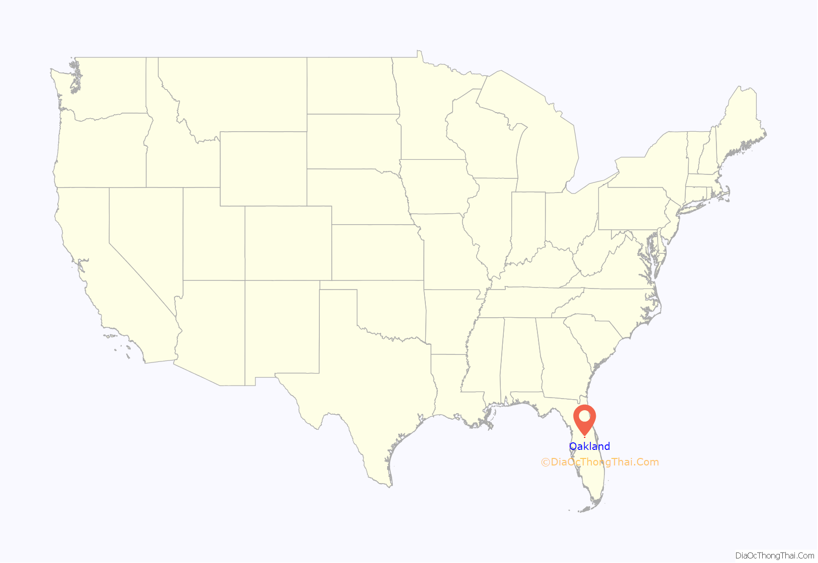
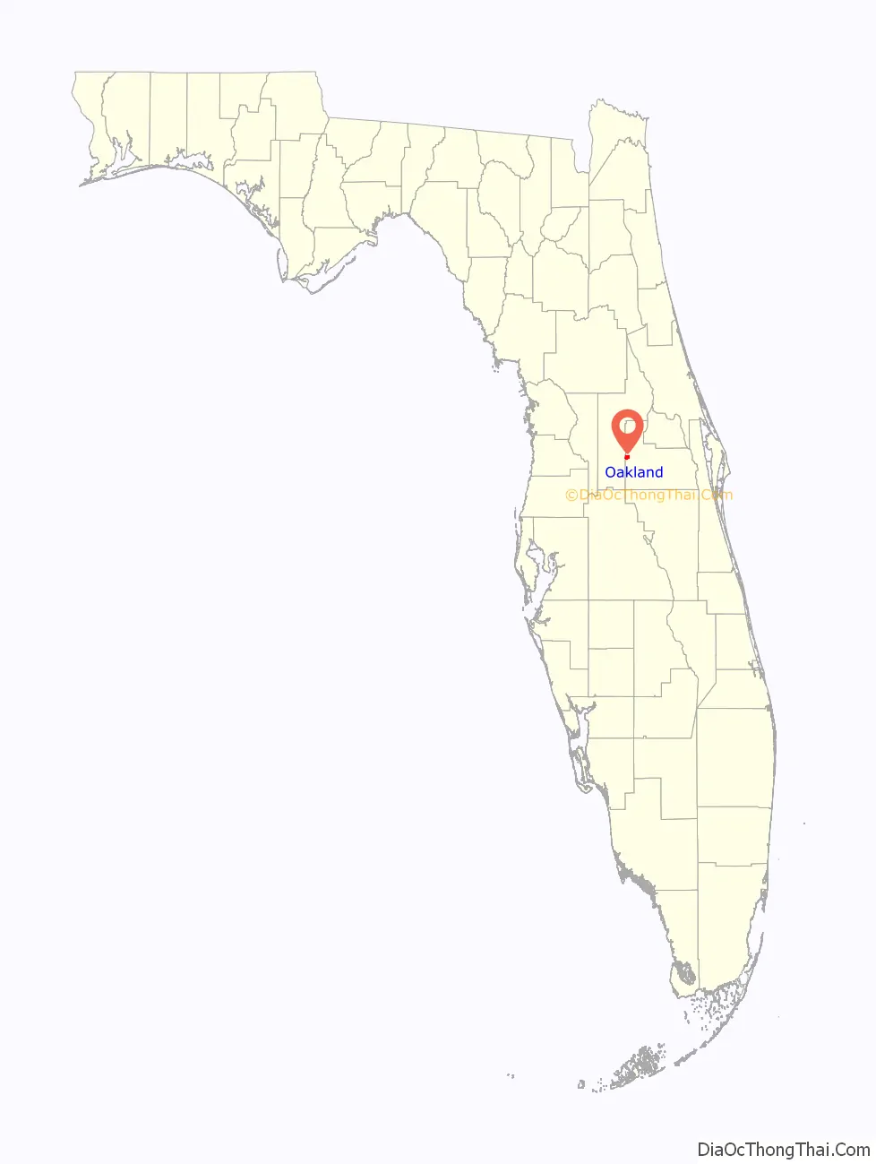
Oakland location map. Where is Oakland town?
History
In 1860, a Post Office opened in Oakland, and closed in 1867. During the Civil War, the Post Office at Oakland was the only one operating within the present-day boundaries of Orange County, as Orlando’s was closed from 1861 to 1866. Oakland Post Office reopened in 1877. During a time of great growth in the region during the 1880s, Oakland emerged as the center of commerce in west Orange County. It appeared that the village would blossom into a city, with the town incorporating in 1887. However, a fire in the business district and a subsequent period of freezes in rapid succession throughout the 1890s, along with the growth of nearby Winter Garden, seemed to ensure that Oakland would remain as little more than a sleepy village. In 1940, Oakland surpassed nearby Maitland in Population, ranking at #6 in the county. In 1950, however, Oakland fell back to #7, with a population of 545, the majority of whom were black.
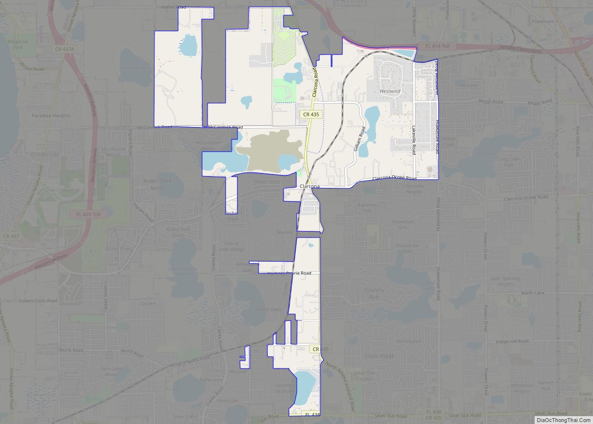
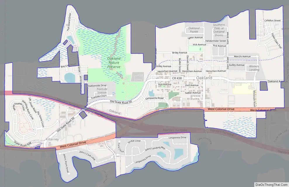
Oakland Road Map
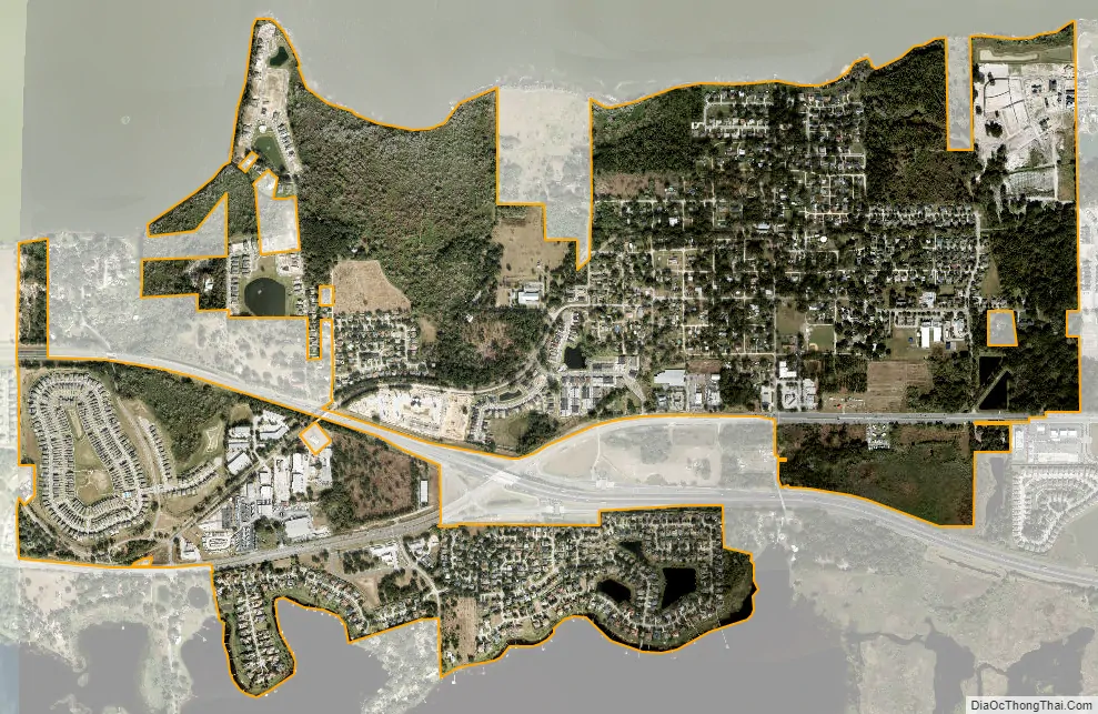
Oakland city Satellite Map
Geography
Oakland is located at 28°33′16″N 81°37′52″W / 28.554528°N 81.631045°W / 28.554528; -81.631045.
According to the United States Census Bureau, the town has a total area of 2.10 square miles (5.45 km), of which 2.10 square miles (5.44 km) is land and 0.0077 square miles (0.02 km), or 0.34%, is water.
See also
Map of Florida State and its subdivision:- Alachua
- Baker
- Bay
- Bradford
- Brevard
- Broward
- Calhoun
- Charlotte
- Citrus
- Clay
- Collier
- Columbia
- Desoto
- Dixie
- Duval
- Escambia
- Flagler
- Franklin
- Gadsden
- Gilchrist
- Glades
- Gulf
- Hamilton
- Hardee
- Hendry
- Hernando
- Highlands
- Hillsborough
- Holmes
- Indian River
- Jackson
- Jefferson
- Lafayette
- Lake
- Lee
- Leon
- Levy
- Liberty
- Madison
- Manatee
- Marion
- Martin
- Miami-Dade
- Monroe
- Nassau
- Okaloosa
- Okeechobee
- Orange
- Osceola
- Palm Beach
- Pasco
- Pinellas
- Polk
- Putnam
- Saint Johns
- Saint Lucie
- Santa Rosa
- Sarasota
- Seminole
- Sumter
- Suwannee
- Taylor
- Union
- Volusia
- Wakulla
- Walton
- Washington
- Alabama
- Alaska
- Arizona
- Arkansas
- California
- Colorado
- Connecticut
- Delaware
- District of Columbia
- Florida
- Georgia
- Hawaii
- Idaho
- Illinois
- Indiana
- Iowa
- Kansas
- Kentucky
- Louisiana
- Maine
- Maryland
- Massachusetts
- Michigan
- Minnesota
- Mississippi
- Missouri
- Montana
- Nebraska
- Nevada
- New Hampshire
- New Jersey
- New Mexico
- New York
- North Carolina
- North Dakota
- Ohio
- Oklahoma
- Oregon
- Pennsylvania
- Rhode Island
- South Carolina
- South Dakota
- Tennessee
- Texas
- Utah
- Vermont
- Virginia
- Washington
- West Virginia
- Wisconsin
- Wyoming