Oriole Beach is an unincorporated community located in Santa Rosa County, Florida, United States on Santa Rosa Sound. It lies east of Gulf Breeze on the Fairpoint Peninsula, and about three miles north of Pensacola Beach. Oriole Beach is part of the Pensacola–Ferry Pass–Brent Metropolitan Statistical Area.
| Name: | Oriole Beach CDP |
|---|---|
| LSAD Code: | 57 |
| LSAD Description: | CDP (suffix) |
| State: | Florida |
| County: | Santa Rosa County |
| Total Area: | 1,420 |
| ZIP code: | 32563 |
| Area code: | 850 |
| FIPS code: | 1252250 |
Online Interactive Map
Click on ![]() to view map in "full screen" mode.
to view map in "full screen" mode.
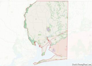
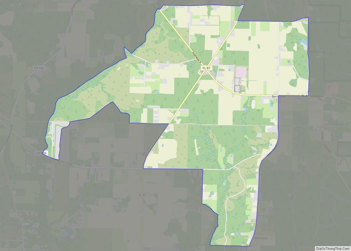
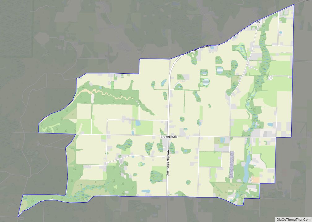
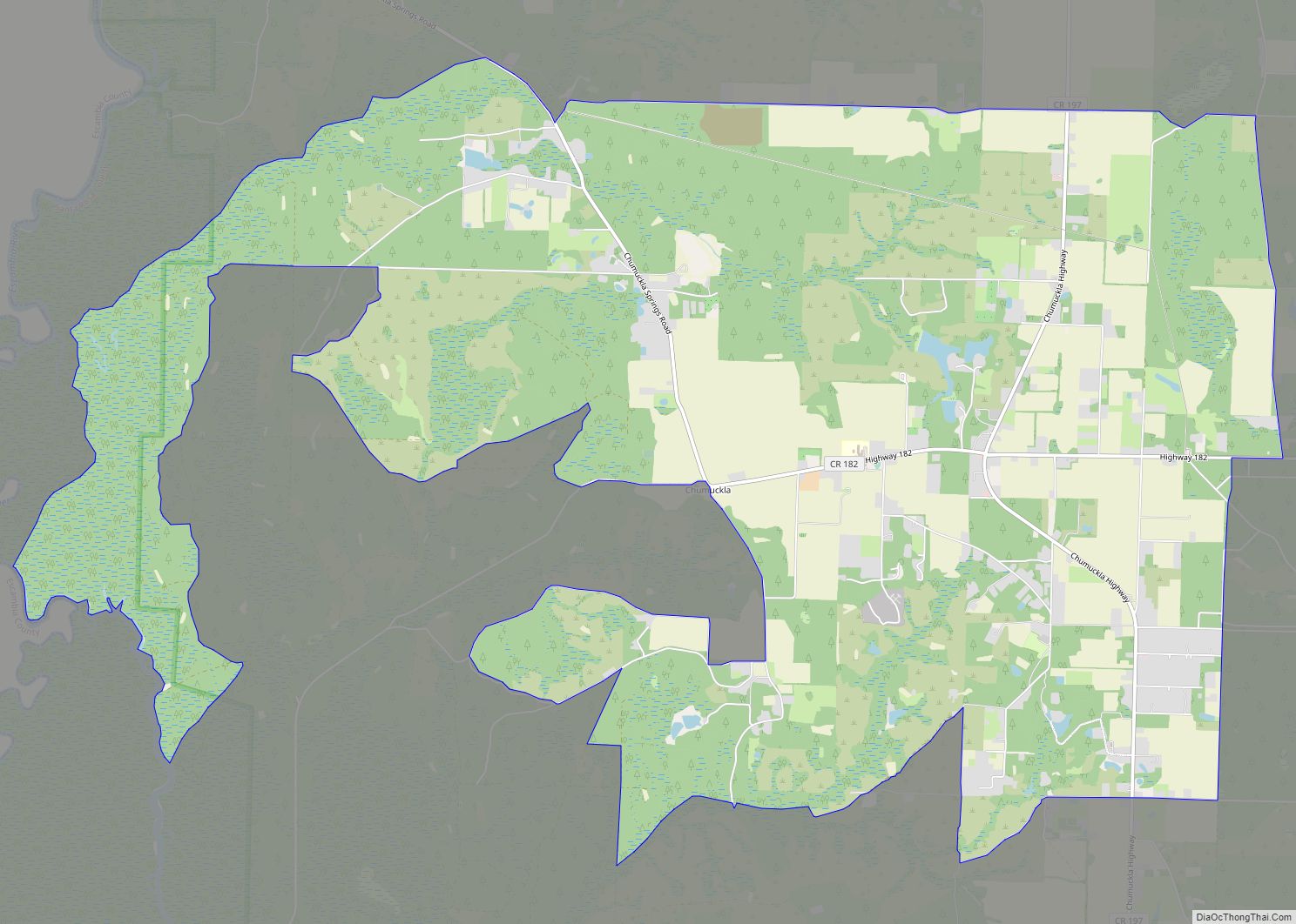
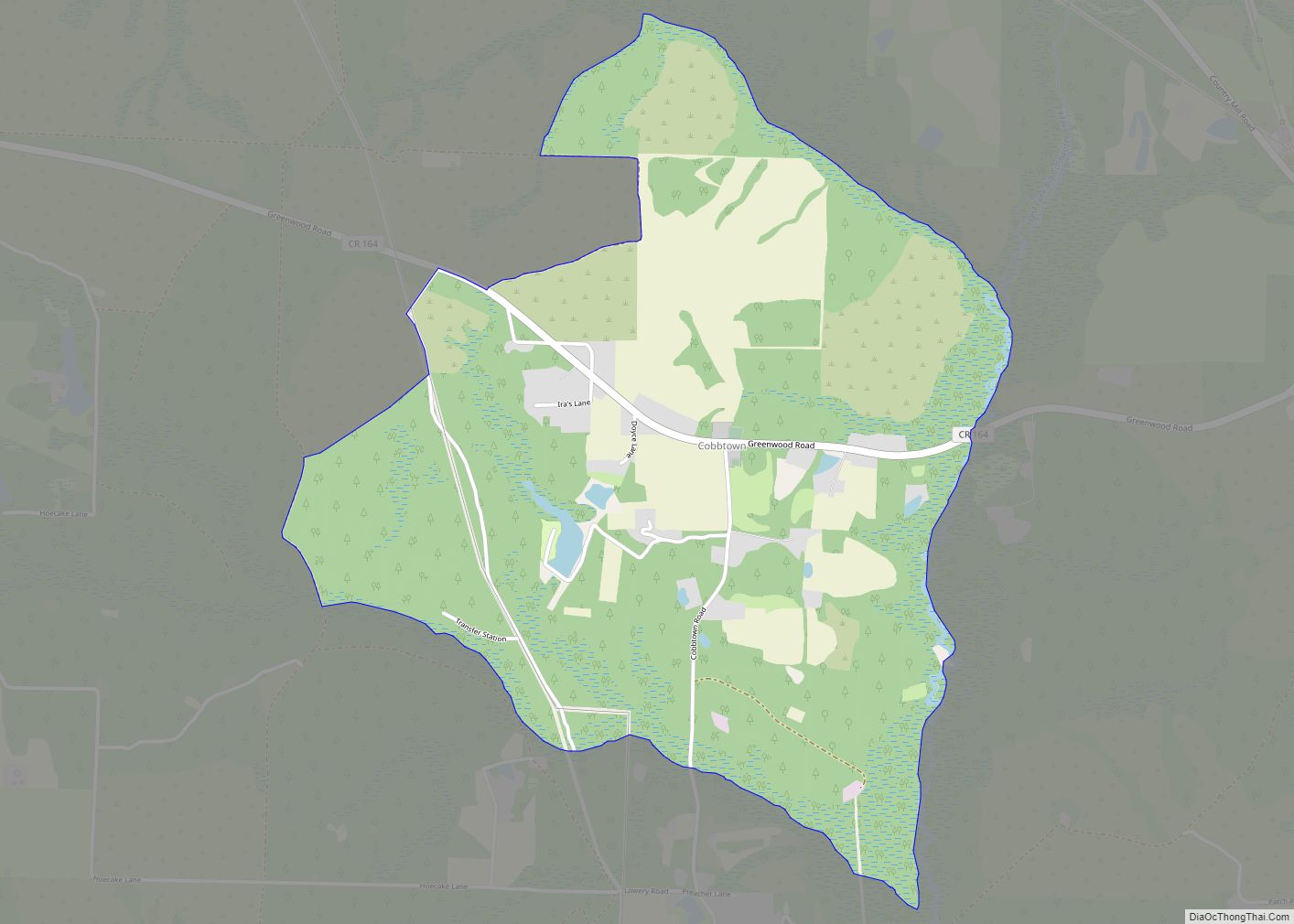
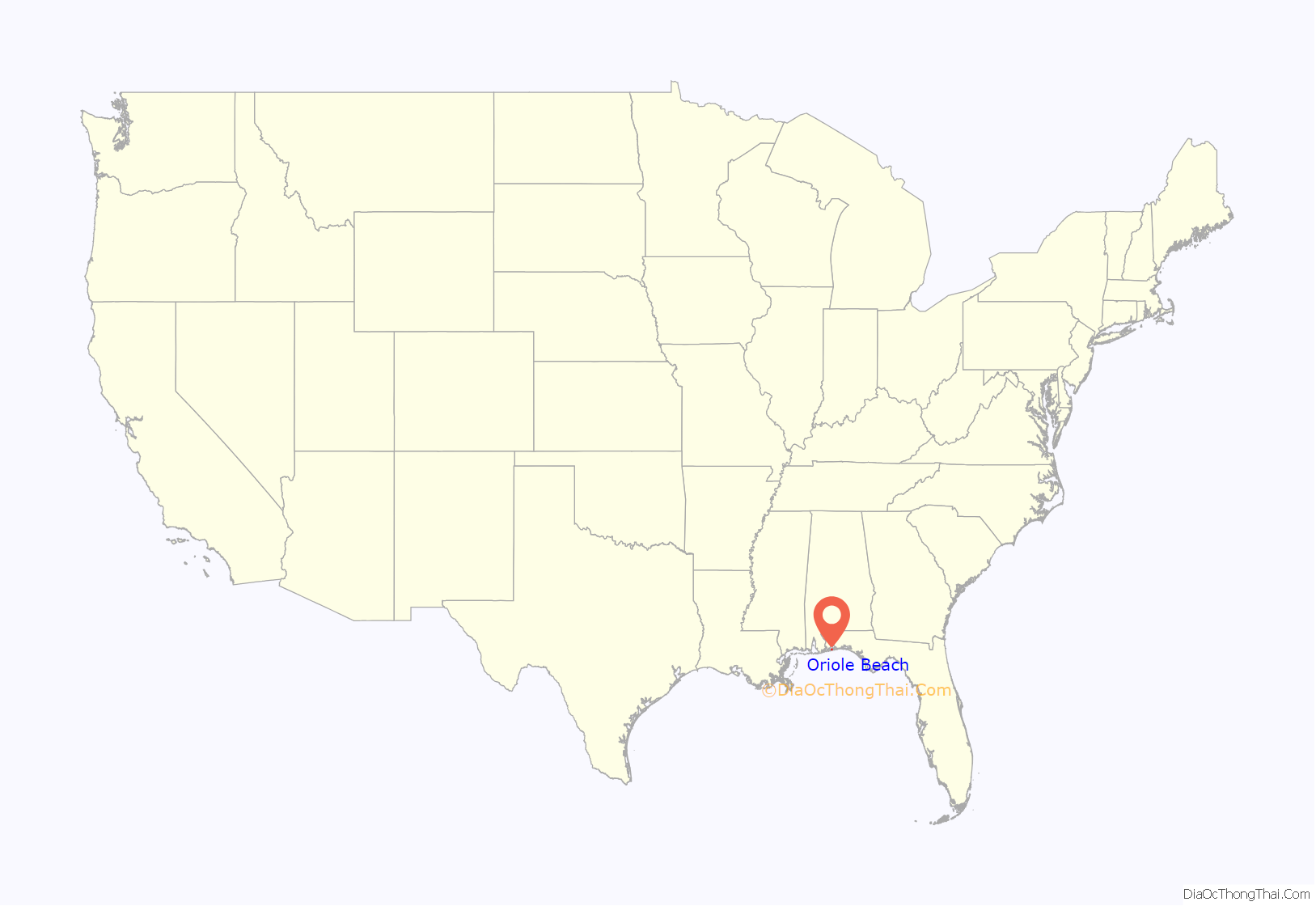
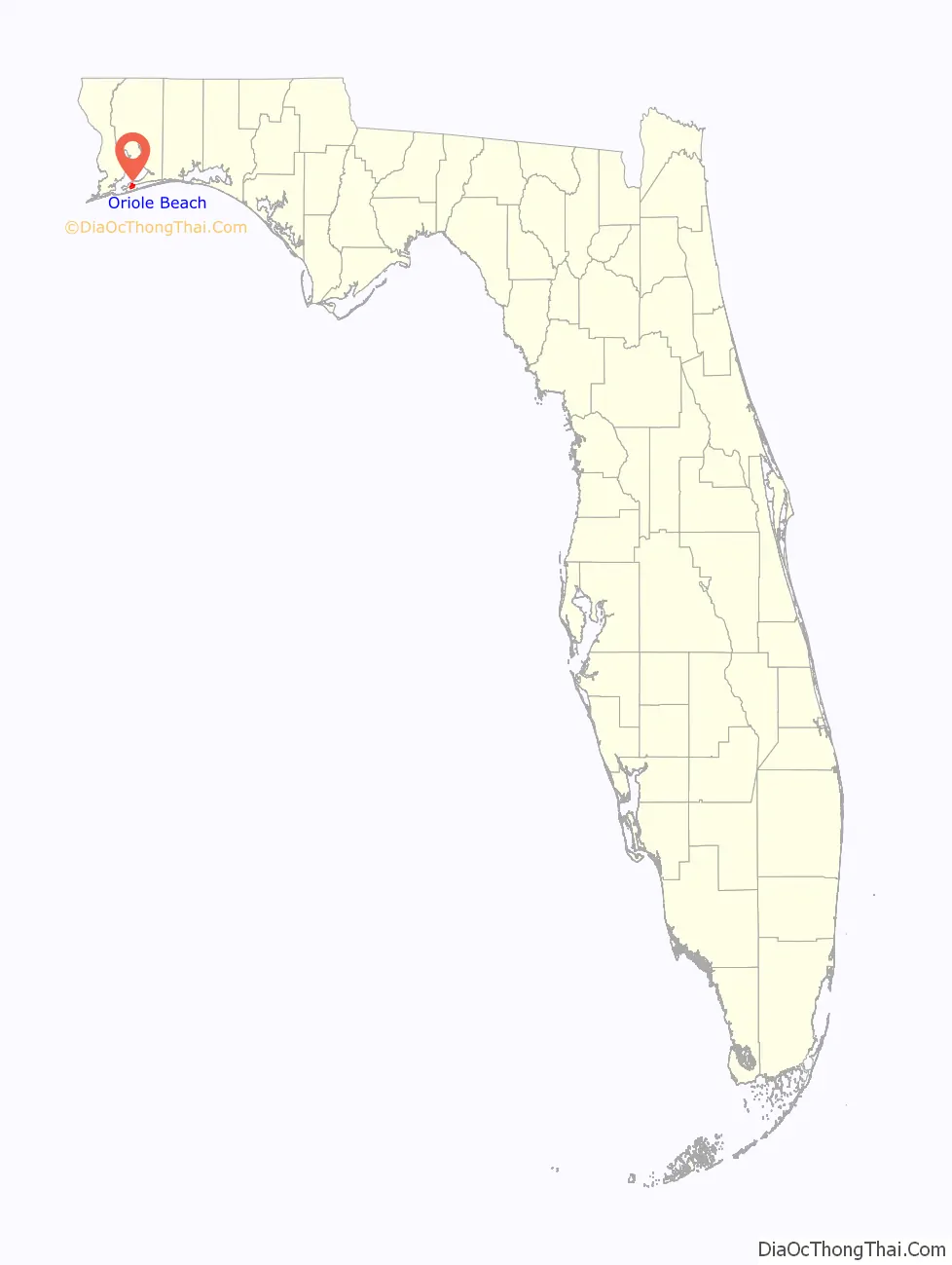
Oriole Beach location map. Where is Oriole Beach CDP?
History
In 1985, a homeowners’ association was founded in Oriole Beach; it facilitated the construction of a new boat ramp and bicycle path. The bicycle path is part of the W.D. Childers trail that loops approximately 28 miles around the Fairpoint Peninsula. The only school in Oriole Beach, Oriole Beach Elementary School, is part of the Santa Rosa County School District.
Hurricane Ivan made landfall about 30 miles east of Oriole Beach in November 2004. The tidal surge was recorded at 12 feet and the sustained winds were in excess of 120 miles per hour. The Bay Street elevation of Oriole Beach is about 7.0 feet above mean sea level, so some homes on grade were destroyed. Most of the hurricane debris was removed by Santa Rosa County with Federal Emergency Management Agency (FEMA) grant money. As of spring 2007, a few structures and pine trees damaged by Ivan remain to be demolished and removed.
In February 2007, the Bay Street roadway was made three feet wider and about six inches higher by the Santa Rosa County Engineering Department. New home construction is now required by the County Land Development Code to be connected to a sanitary sewer force main rather than septic tanks, the practice before Hurricane Ivan. The city of Gulf Breeze supplies sanitary sewer and natural gas service to the community. Potable water is supplied by a private water system from two elevated tanks connected to local water wells.
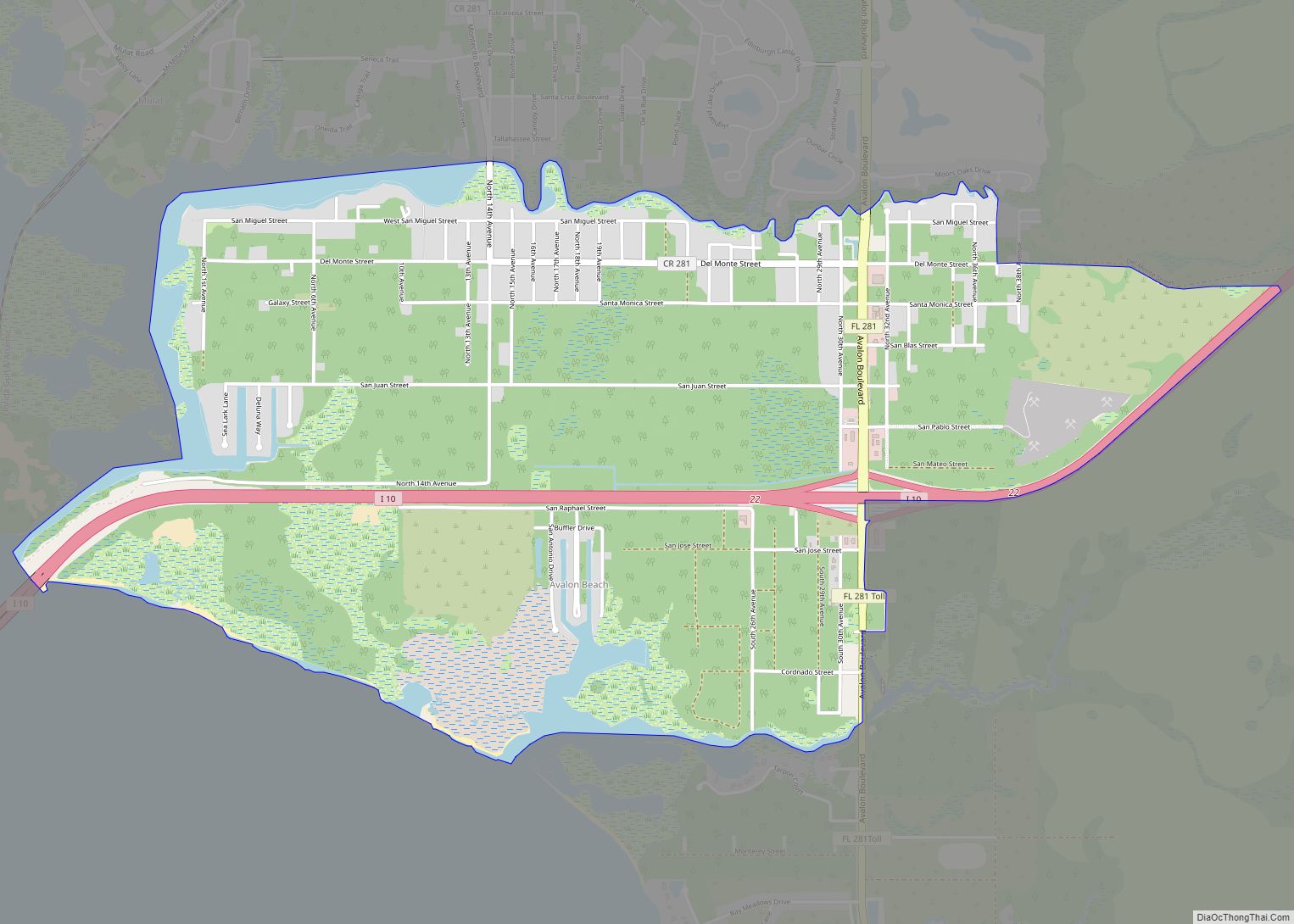
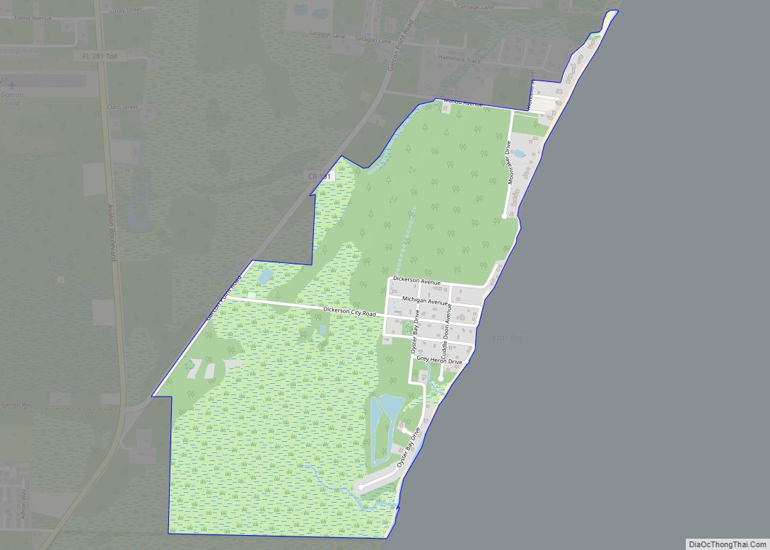
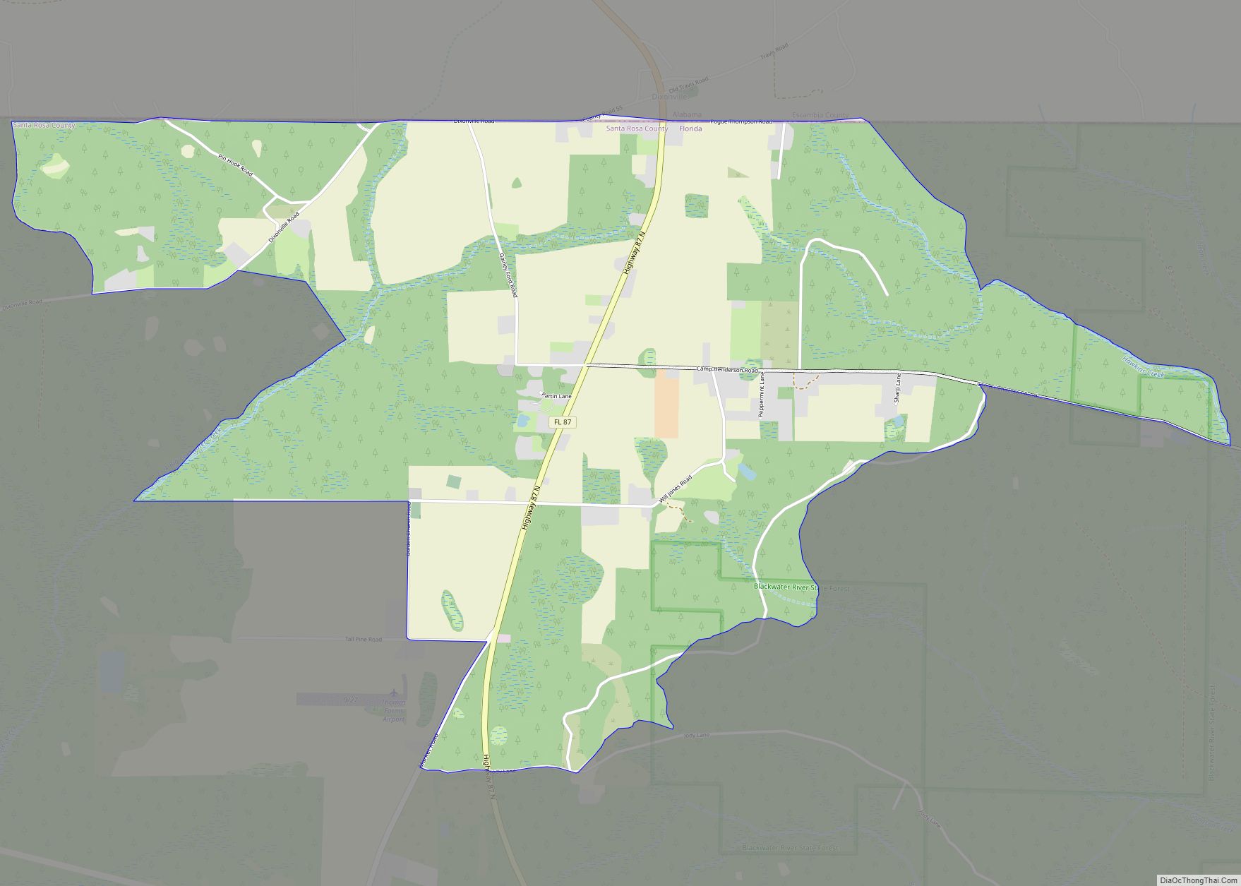
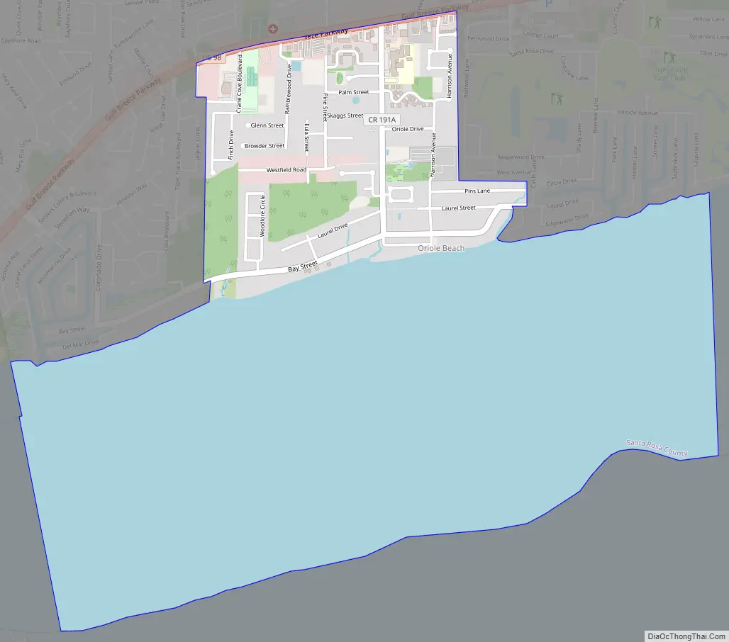
Oriole Beach Road Map
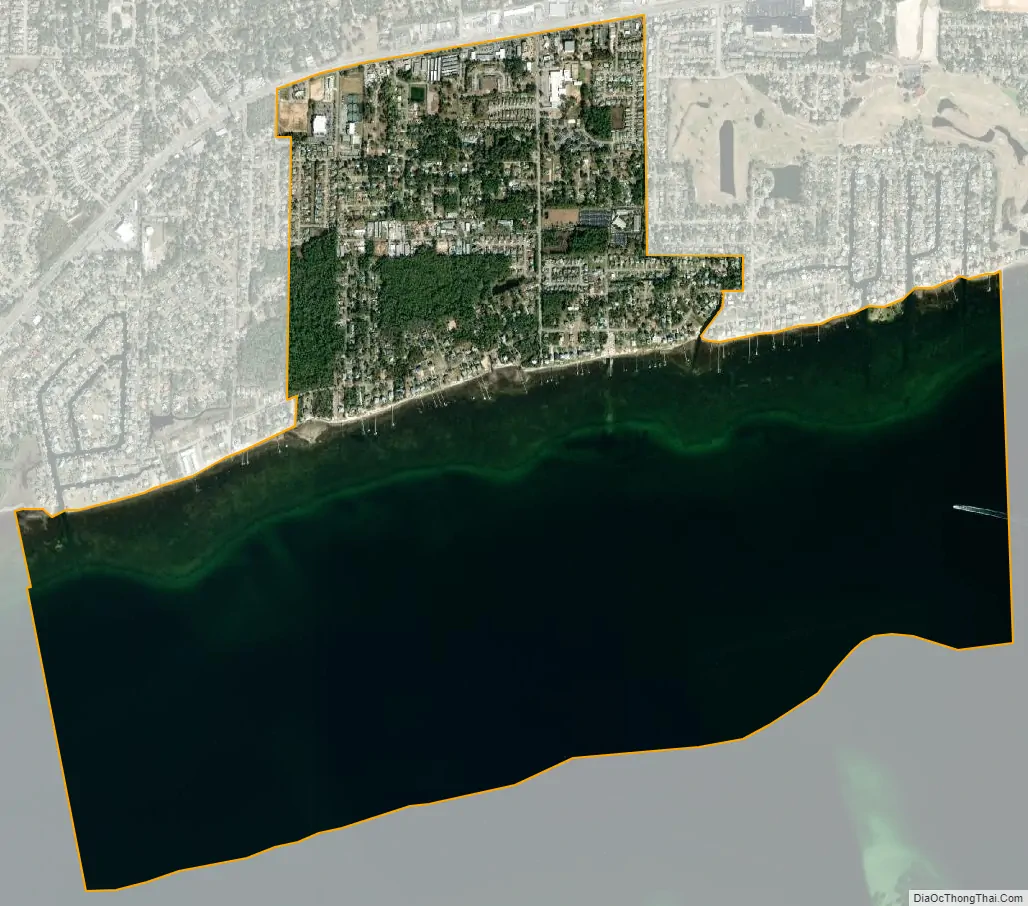
Oriole Beach city Satellite Map
See also
Map of Florida State and its subdivision:- Alachua
- Baker
- Bay
- Bradford
- Brevard
- Broward
- Calhoun
- Charlotte
- Citrus
- Clay
- Collier
- Columbia
- Desoto
- Dixie
- Duval
- Escambia
- Flagler
- Franklin
- Gadsden
- Gilchrist
- Glades
- Gulf
- Hamilton
- Hardee
- Hendry
- Hernando
- Highlands
- Hillsborough
- Holmes
- Indian River
- Jackson
- Jefferson
- Lafayette
- Lake
- Lee
- Leon
- Levy
- Liberty
- Madison
- Manatee
- Marion
- Martin
- Miami-Dade
- Monroe
- Nassau
- Okaloosa
- Okeechobee
- Orange
- Osceola
- Palm Beach
- Pasco
- Pinellas
- Polk
- Putnam
- Saint Johns
- Saint Lucie
- Santa Rosa
- Sarasota
- Seminole
- Sumter
- Suwannee
- Taylor
- Union
- Volusia
- Wakulla
- Walton
- Washington
- Alabama
- Alaska
- Arizona
- Arkansas
- California
- Colorado
- Connecticut
- Delaware
- District of Columbia
- Florida
- Georgia
- Hawaii
- Idaho
- Illinois
- Indiana
- Iowa
- Kansas
- Kentucky
- Louisiana
- Maine
- Maryland
- Massachusetts
- Michigan
- Minnesota
- Mississippi
- Missouri
- Montana
- Nebraska
- Nevada
- New Hampshire
- New Jersey
- New Mexico
- New York
- North Carolina
- North Dakota
- Ohio
- Oklahoma
- Oregon
- Pennsylvania
- Rhode Island
- South Carolina
- South Dakota
- Tennessee
- Texas
- Utah
- Vermont
- Virginia
- Washington
- West Virginia
- Wisconsin
- Wyoming