Palmetto is a city in Manatee County, Florida, United States. As of the 2020 census, the population was listed as 13,323. It is part of the North Port–Sarasota–Bradenton metropolitan statistical area.
| Name: | Palmetto city |
|---|---|
| LSAD Code: | 25 |
| LSAD Description: | city (suffix) |
| State: | Florida |
| County: | Manatee County |
| Elevation: | 12 ft (4 m) |
| Total Area: | 5.83 sq mi (15.11 km²) |
| Land Area: | 5.35 sq mi (13.86 km²) |
| Water Area: | 0.48 sq mi (1.25 km²) |
| Total Population: | 13,323 |
| Population Density: | 2,490.28/sq mi (961.42/km²) |
| ZIP code: | 34220–34221 |
| Area code: | 941 |
| FIPS code: | 1254250 |
| GNISfeature ID: | 0288429 |
| Website: | palmettofl.org |
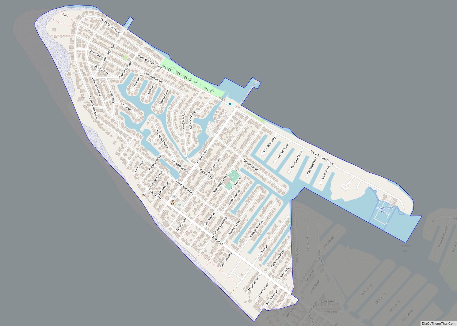
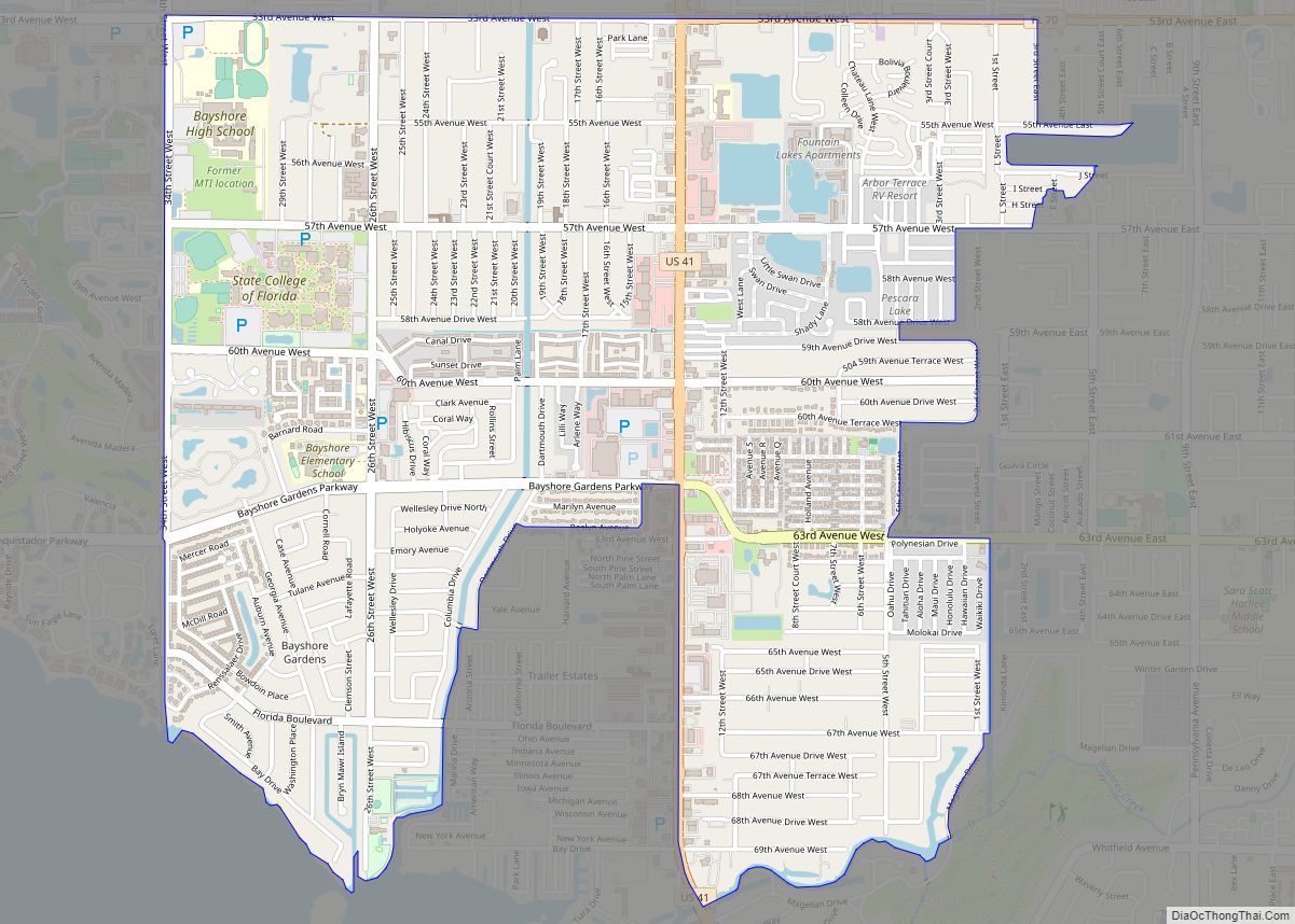
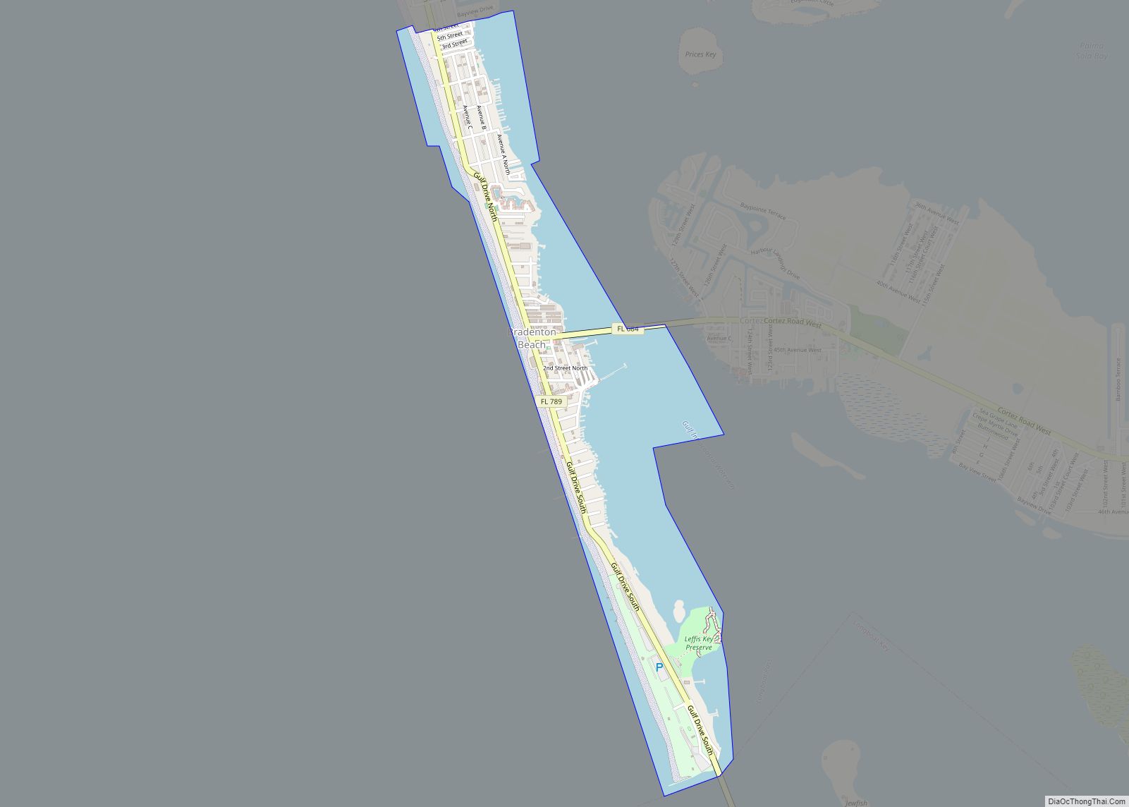
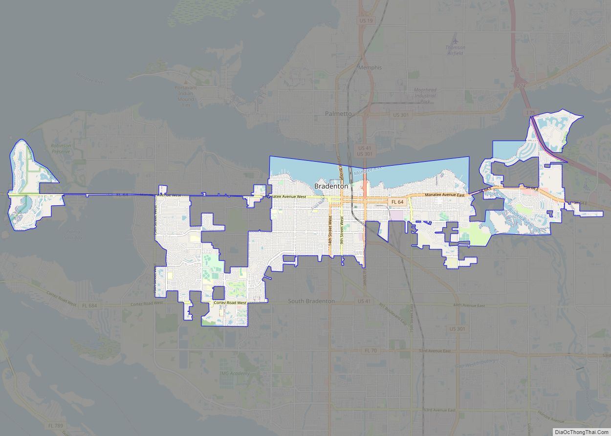
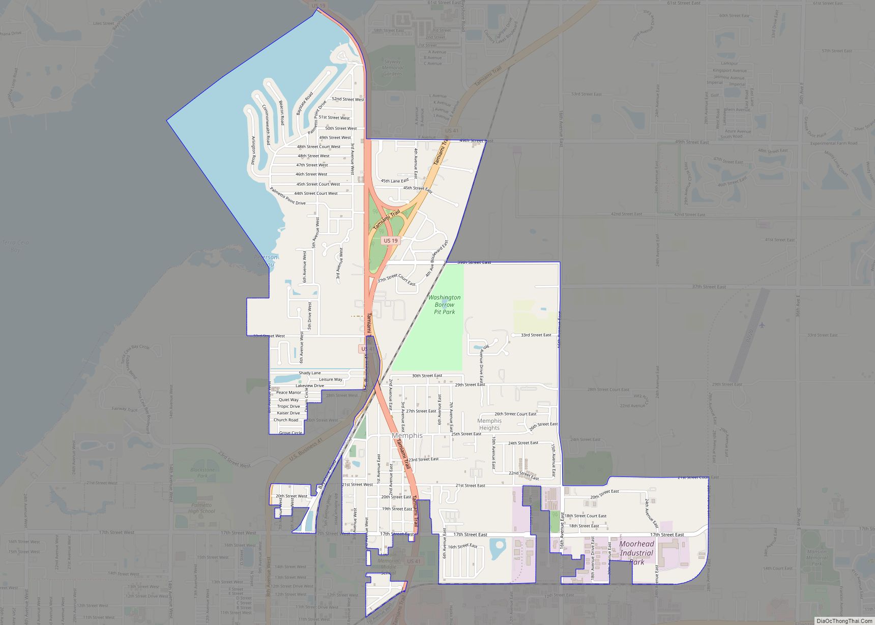
Online Interactive Map
Click on ![]() to view map in "full screen" mode.
to view map in "full screen" mode.
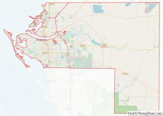
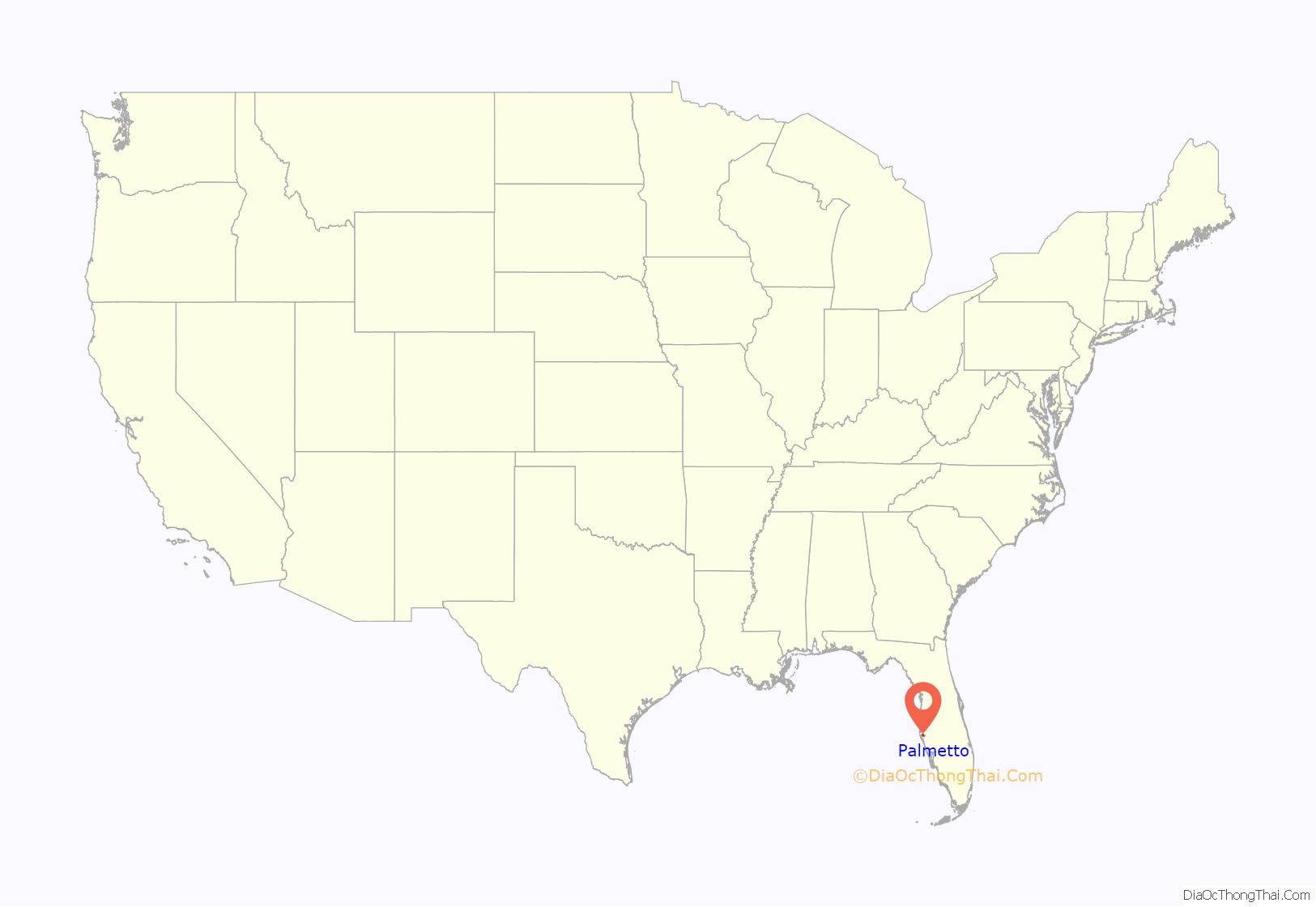
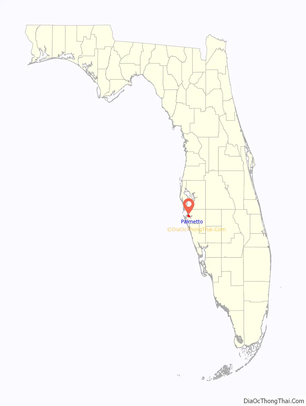
Palmetto location map. Where is Palmetto city?
History
A post office called Palmetto has been in operation since 1868. Samuel Sparks Lamb is considered the “Father of Palmetto,” having surveyed and plotted the city at its outset and donated several plots of land. He owned a general merchandise store in town. Samuel Sparks Lamb was from Clarke County, Mississippi, and arrived in the area near the Manatee River in 1868 establishing Palmetto. The city received its name from the palmetto trees near the original town site. Palmetto was first incorporated in May 1893 as a village, with its first mayor being P.S. Harlee. Palmetto was reincorporated as a city in 1897 and in the following years grew. In 1902 with the arrival of the railroad, the center of town moved from the waterfront to the Seaboard Air Line train station, served by the Sarasota Branch from Turkey Creek near Plant City through Palmetto to “Bradentown” and Sarasota. By 1921, the Atlantic Coast Line Railroad was operating a Tampa Southern Railroad Branch from Tampa to Palmetto and “Bradentown”.
Compiled during the late 1930s and first published in 1939, the Federal Writers’ Project’s Florida guide listed Palmetto’s population as 3,043 and described it as:
A dolomite mine existed in Palmetto on the Manatee River from the 1950s to 1974. Several failed attempts were made to redevelop the property. In 1974, the property was almost sold for residential development, but the company backed out due to the economic recession that was occurring. In 1978, a proposal was made to create a residential community on the site. The site’s master plan contained a nationwide motel chain with a restaurant, high-rise apartments along the Manatee River, single-family houses, and a shopping center built around a lake created from mining activities. The former 214-acre (87 ha) dolomite mine site was bought by WC Riveria Partners. It was then redeveloped in 1998 as Riveria Dunes, a residential community with a marina, townhouses, and homes.
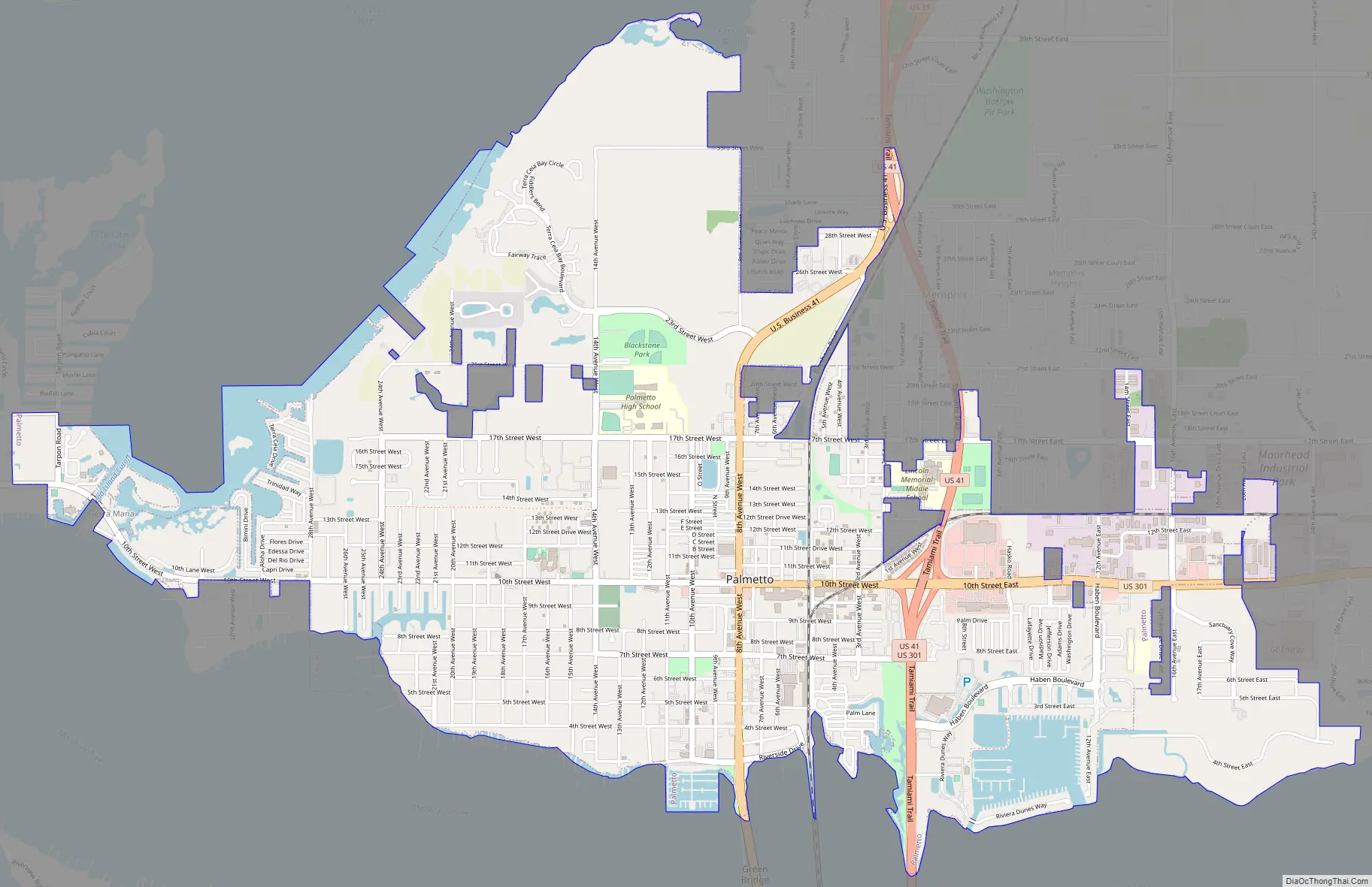
Palmetto Road Map
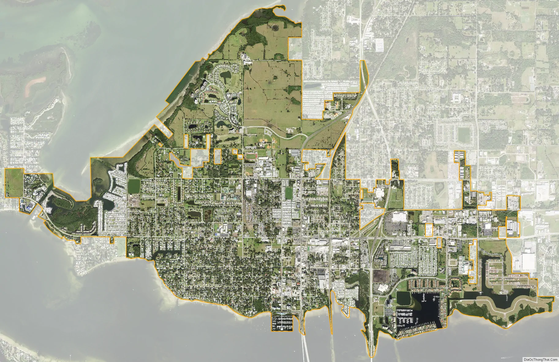
Palmetto city Satellite Map
Geography
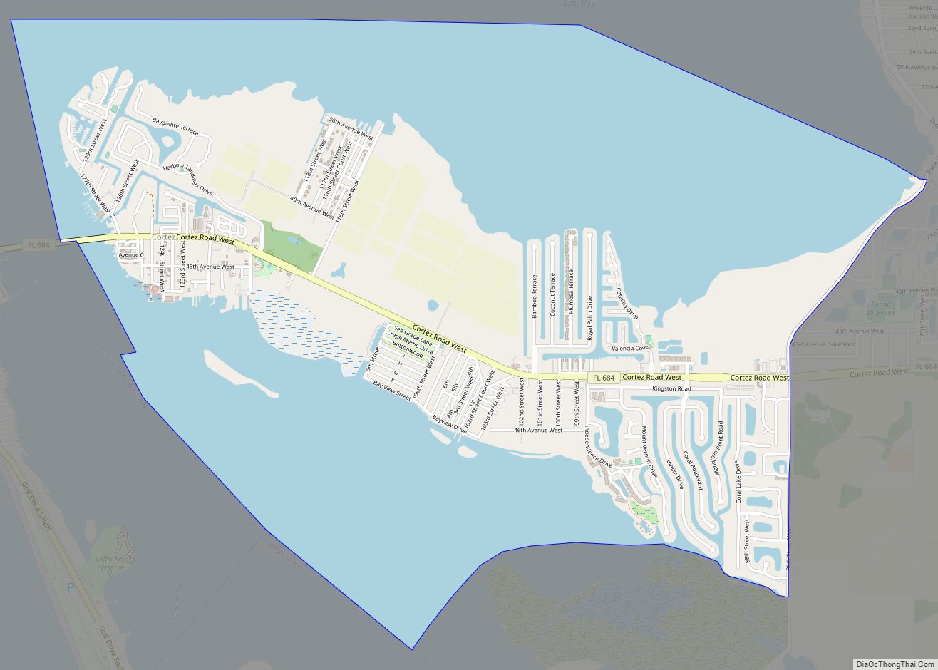
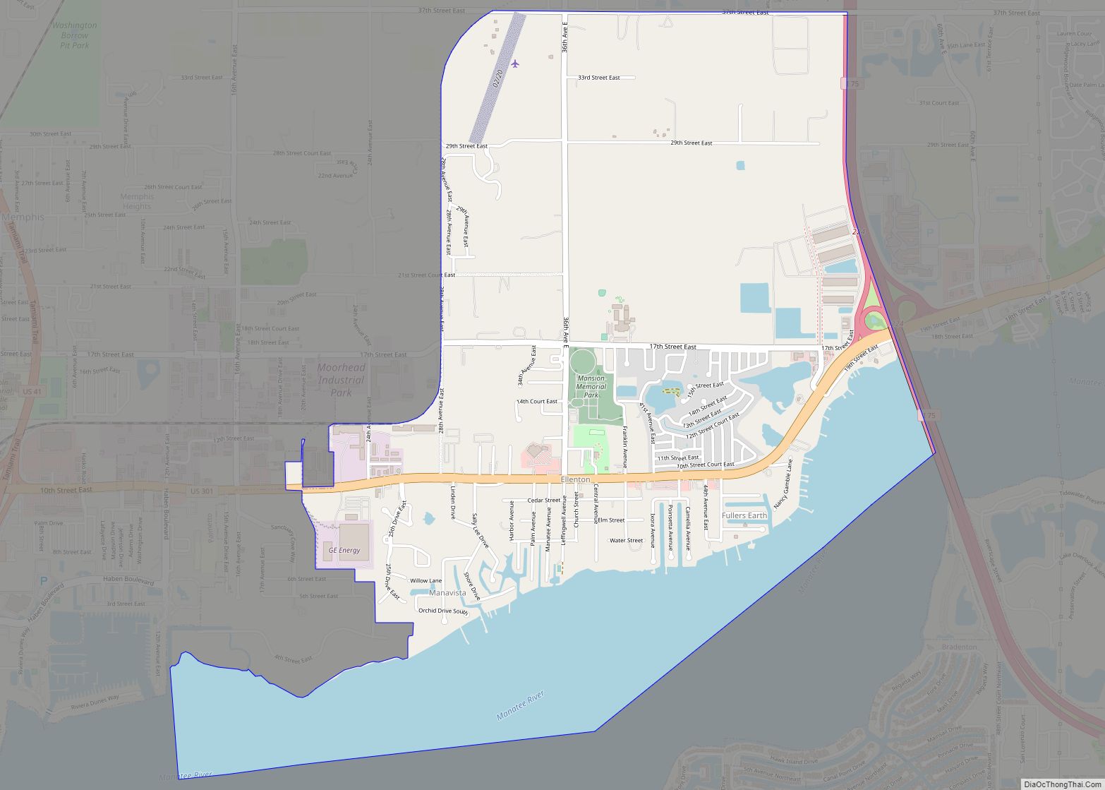
Palmetto is in central Manatee County, on the north side of the tidal Manatee River, across from the city of Bradenton, the county seat. According to the United States Census Bureau, the city has a total area of 5.8 square miles (15 km), of which 5.3 square miles (14 km) are land and 0.5 square miles (1.3 km) 8.26%, are water.
See also
Map of Florida State and its subdivision:- Alachua
- Baker
- Bay
- Bradford
- Brevard
- Broward
- Calhoun
- Charlotte
- Citrus
- Clay
- Collier
- Columbia
- Desoto
- Dixie
- Duval
- Escambia
- Flagler
- Franklin
- Gadsden
- Gilchrist
- Glades
- Gulf
- Hamilton
- Hardee
- Hendry
- Hernando
- Highlands
- Hillsborough
- Holmes
- Indian River
- Jackson
- Jefferson
- Lafayette
- Lake
- Lee
- Leon
- Levy
- Liberty
- Madison
- Manatee
- Marion
- Martin
- Miami-Dade
- Monroe
- Nassau
- Okaloosa
- Okeechobee
- Orange
- Osceola
- Palm Beach
- Pasco
- Pinellas
- Polk
- Putnam
- Saint Johns
- Saint Lucie
- Santa Rosa
- Sarasota
- Seminole
- Sumter
- Suwannee
- Taylor
- Union
- Volusia
- Wakulla
- Walton
- Washington
- Alabama
- Alaska
- Arizona
- Arkansas
- California
- Colorado
- Connecticut
- Delaware
- District of Columbia
- Florida
- Georgia
- Hawaii
- Idaho
- Illinois
- Indiana
- Iowa
- Kansas
- Kentucky
- Louisiana
- Maine
- Maryland
- Massachusetts
- Michigan
- Minnesota
- Mississippi
- Missouri
- Montana
- Nebraska
- Nevada
- New Hampshire
- New Jersey
- New Mexico
- New York
- North Carolina
- North Dakota
- Ohio
- Oklahoma
- Oregon
- Pennsylvania
- Rhode Island
- South Carolina
- South Dakota
- Tennessee
- Texas
- Utah
- Vermont
- Virginia
- Washington
- West Virginia
- Wisconsin
- Wyoming