Rio is an unincorporated community and census-designated place (CDP) in Martin County, Florida, United States. The population was 980 at the 2020 census. Rio is pronounced locally as if it were spelled “Rye-oh”. It is part of the Port St. Lucie Metropolitan Statistical Area.
| Name: | Rio CDP |
|---|---|
| LSAD Code: | 57 |
| LSAD Description: | CDP (suffix) |
| State: | Florida |
| County: | Martin County |
| Elevation: | 3 ft (1 m) |
| Total Area: | 0.90 sq mi (2.34 km²) |
| Land Area: | 0.38 sq mi (0.98 km²) |
| Water Area: | 0.53 sq mi (1.36 km²) |
| Total Population: | 980 |
| Population Density: | 2,592.59/sq mi (1,002.21/km²) |
| ZIP code: | 34957 (Jensen Beach) |
| FIPS code: | 1260550 |
| GNISfeature ID: | 0289712 |
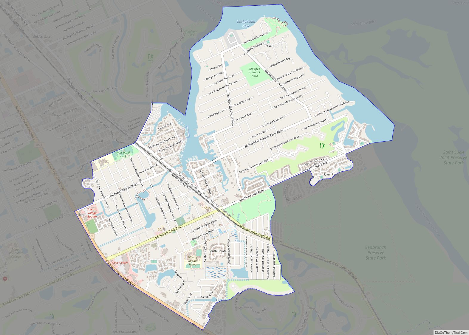
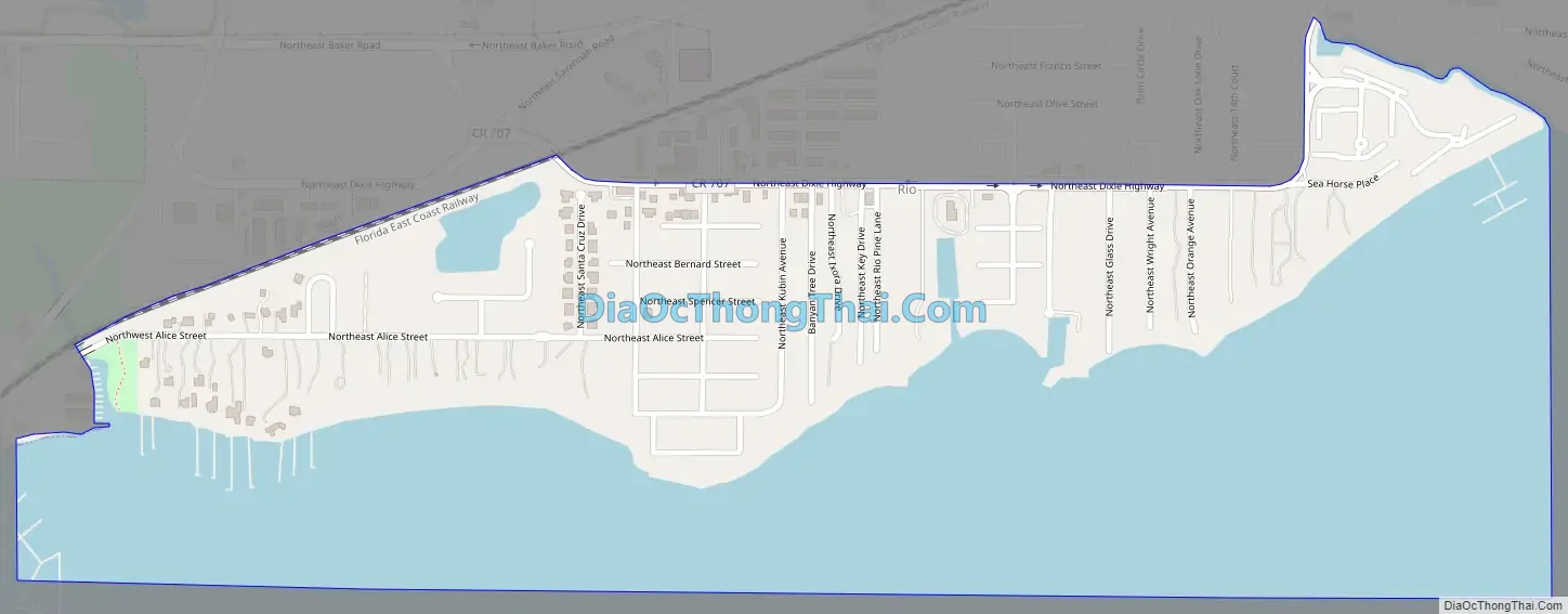
Online Interactive Map
Click on ![]() to view map in "full screen" mode.
to view map in "full screen" mode.
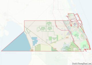
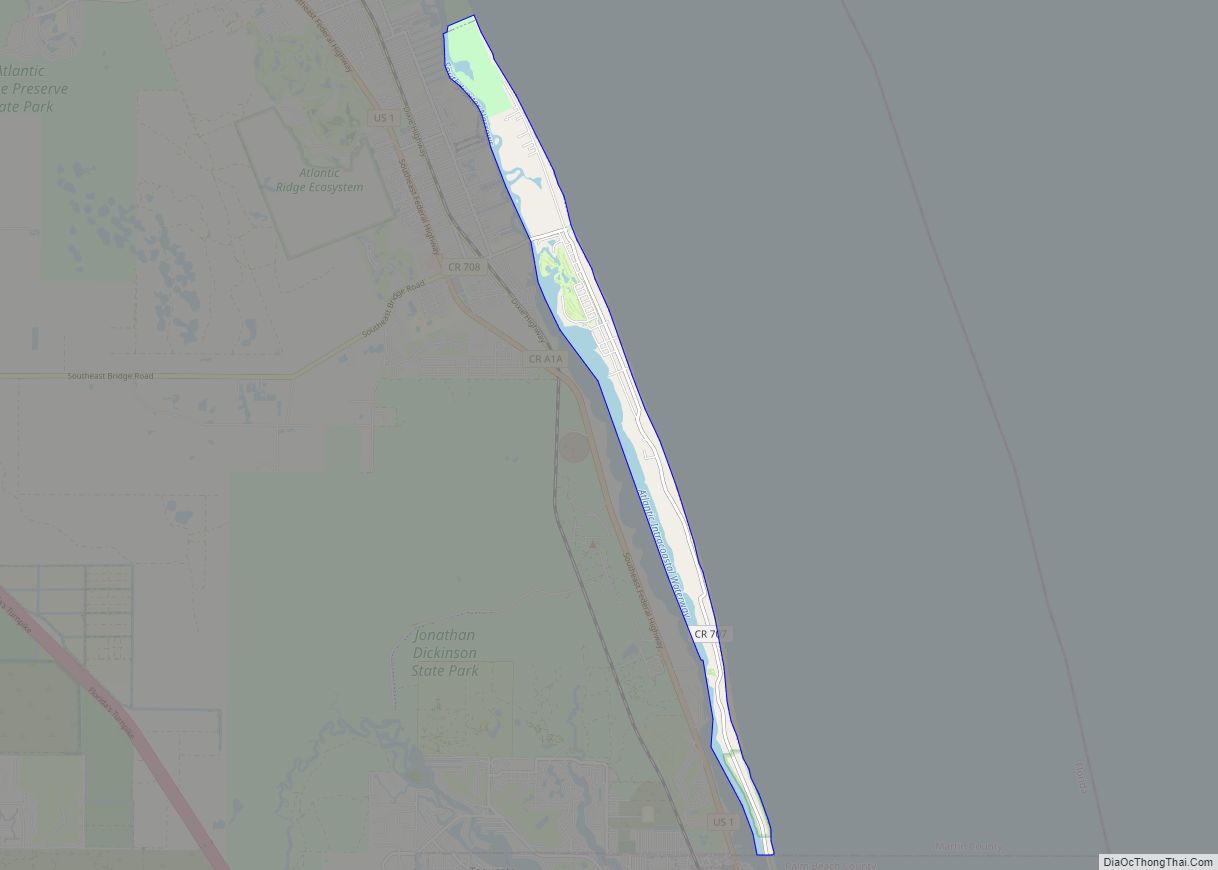
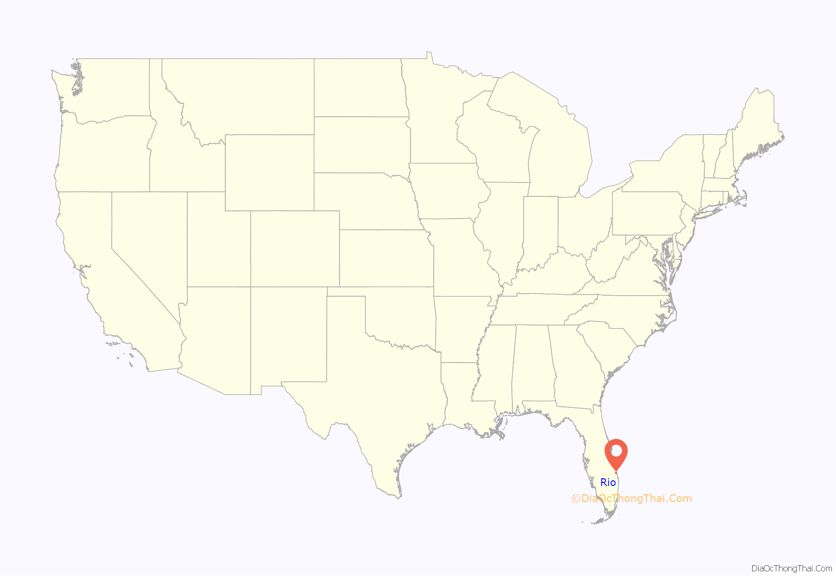
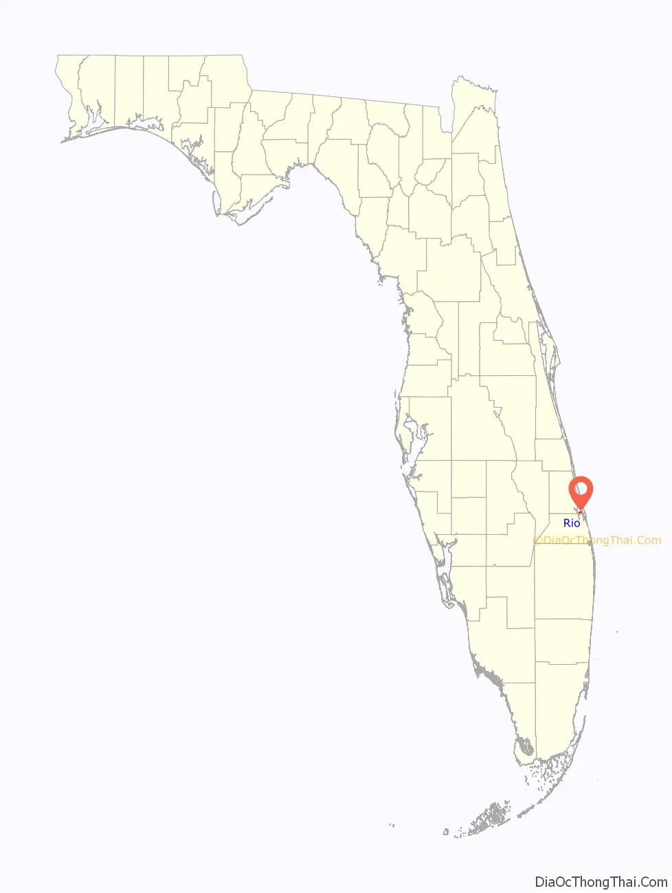
Rio location map. Where is Rio CDP?
History
Rio proper was platted as “Rio St. Lucie”, but the post office established on March 24, 1893, was called “Rio San Lucie”. On December 1, 1897, the post office name was shortened to “Rio”. The Rio post office was discontinued on March 15, 1902, with the area being taken over by the post office at Goslingville, which was located on the narrow peninsula just north of the present-day Roosevelt Bridge. On April 6, 1904, the Rio post office was reactivated and it continued until October 15, 1927, when it was added to the post office at Jensen, now known as Jensen Beach.
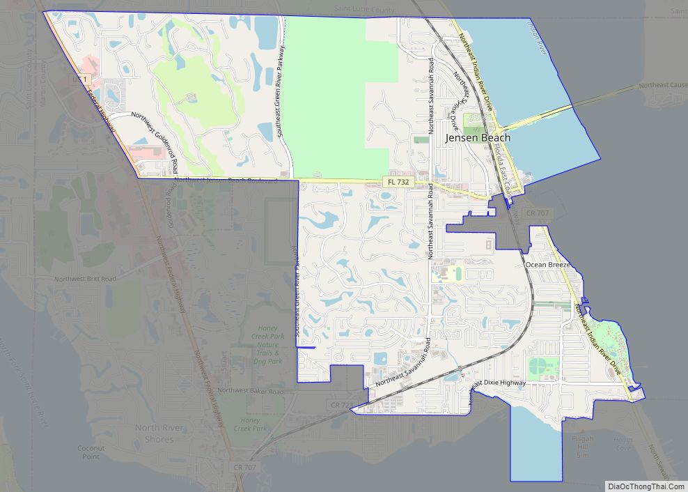
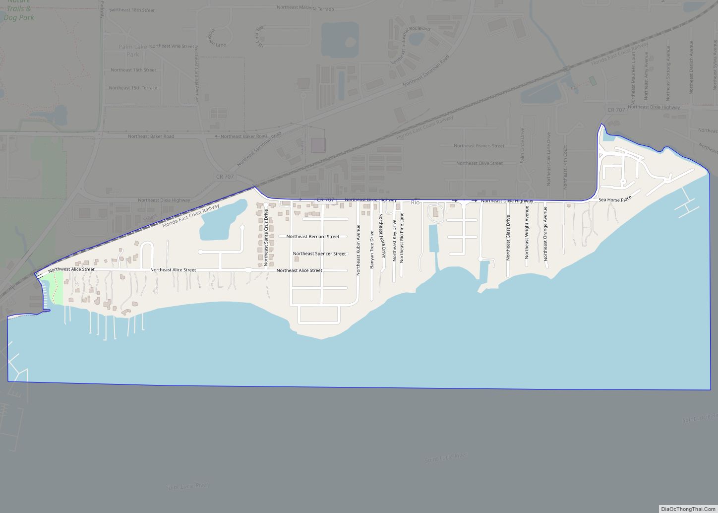
Rio Road Map
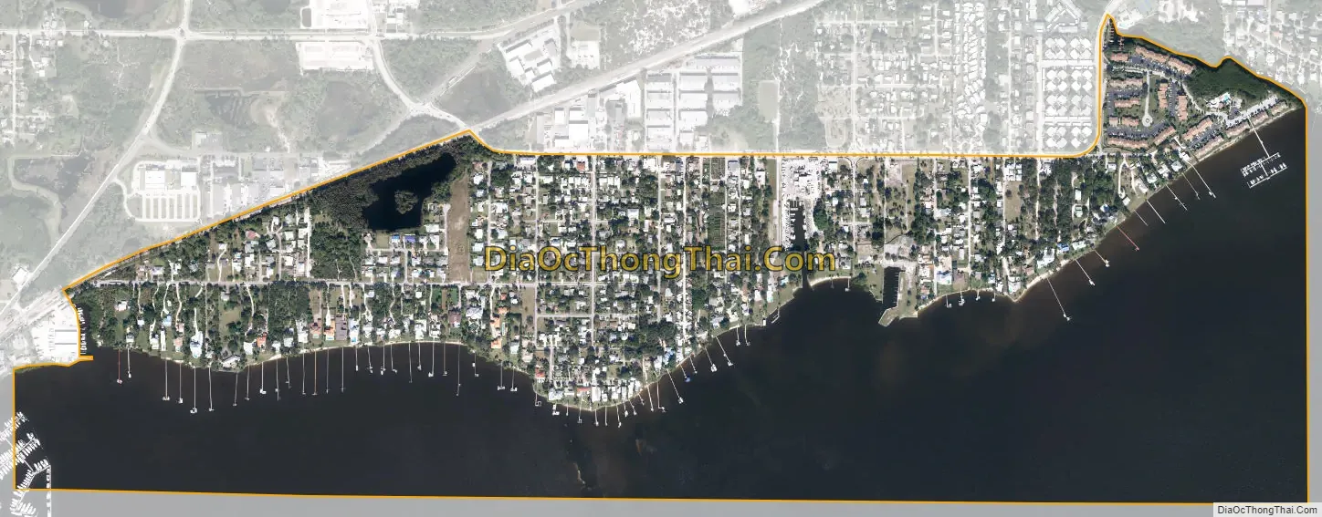
Rio city Satellite Map
Geography
Rio is located in northeastern Martin County at 27°13′6″N 80°14′24″W / 27.21833°N 80.24000°W / 27.21833; -80.24000 (27.218419, -80.240037). It sits on the north side of the St. Lucie River across from Stuart, the county seat. It is bordered to the north and east by Jensen Beach and to the northwest by part of the Stuart city limits.
According to the United States Census Bureau, the Rio CDP has a total area of 0.9 square miles (2.3 km), of which 0.4 square miles (1.0 km) are land and 0.5 square miles (1.3 km), or 58.19%, are water.
See also
Map of Florida State and its subdivision:- Alachua
- Baker
- Bay
- Bradford
- Brevard
- Broward
- Calhoun
- Charlotte
- Citrus
- Clay
- Collier
- Columbia
- Desoto
- Dixie
- Duval
- Escambia
- Flagler
- Franklin
- Gadsden
- Gilchrist
- Glades
- Gulf
- Hamilton
- Hardee
- Hendry
- Hernando
- Highlands
- Hillsborough
- Holmes
- Indian River
- Jackson
- Jefferson
- Lafayette
- Lake
- Lee
- Leon
- Levy
- Liberty
- Madison
- Manatee
- Marion
- Martin
- Miami-Dade
- Monroe
- Nassau
- Okaloosa
- Okeechobee
- Orange
- Osceola
- Palm Beach
- Pasco
- Pinellas
- Polk
- Putnam
- Saint Johns
- Saint Lucie
- Santa Rosa
- Sarasota
- Seminole
- Sumter
- Suwannee
- Taylor
- Union
- Volusia
- Wakulla
- Walton
- Washington
- Alabama
- Alaska
- Arizona
- Arkansas
- California
- Colorado
- Connecticut
- Delaware
- District of Columbia
- Florida
- Georgia
- Hawaii
- Idaho
- Illinois
- Indiana
- Iowa
- Kansas
- Kentucky
- Louisiana
- Maine
- Maryland
- Massachusetts
- Michigan
- Minnesota
- Mississippi
- Missouri
- Montana
- Nebraska
- Nevada
- New Hampshire
- New Jersey
- New Mexico
- New York
- North Carolina
- North Dakota
- Ohio
- Oklahoma
- Oregon
- Pennsylvania
- Rhode Island
- South Carolina
- South Dakota
- Tennessee
- Texas
- Utah
- Vermont
- Virginia
- Washington
- West Virginia
- Wisconsin
- Wyoming