Tangerine is a census-designated place (CDP) in Orange County, Florida, United States. The population was 2,865 at the 2010 census. It is part of the Orlando–Kissimmee Metropolitan Statistical Area.
| Name: | Tangerine CDP |
|---|---|
| LSAD Code: | 57 |
| LSAD Description: | CDP (suffix) |
| State: | Florida |
| County: | Orange County |
| Elevation: | 151 ft (46 m) |
| Total Area: | 5.29 sq mi (13.69 km²) |
| Land Area: | 4.55 sq mi (11.80 km²) |
| Water Area: | 0.73 sq mi (1.89 km²) |
| Total Population: | 3,237 |
| Population Density: | 710.80/sq mi (274.43/km²) |
| ZIP code: | 32777 |
| Area code: | 352 |
| FIPS code: | 1271100 |
| GNISfeature ID: | 0292014 |
| Website: | www.city-data.com/city/Tangerine-Florida.html#ixzz11GeOk3ZC |
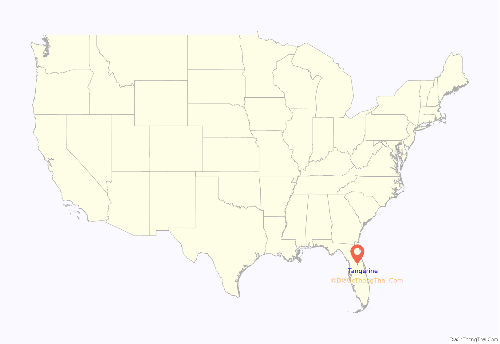
Online Interactive Map
Click on ![]() to view map in "full screen" mode.
to view map in "full screen" mode.
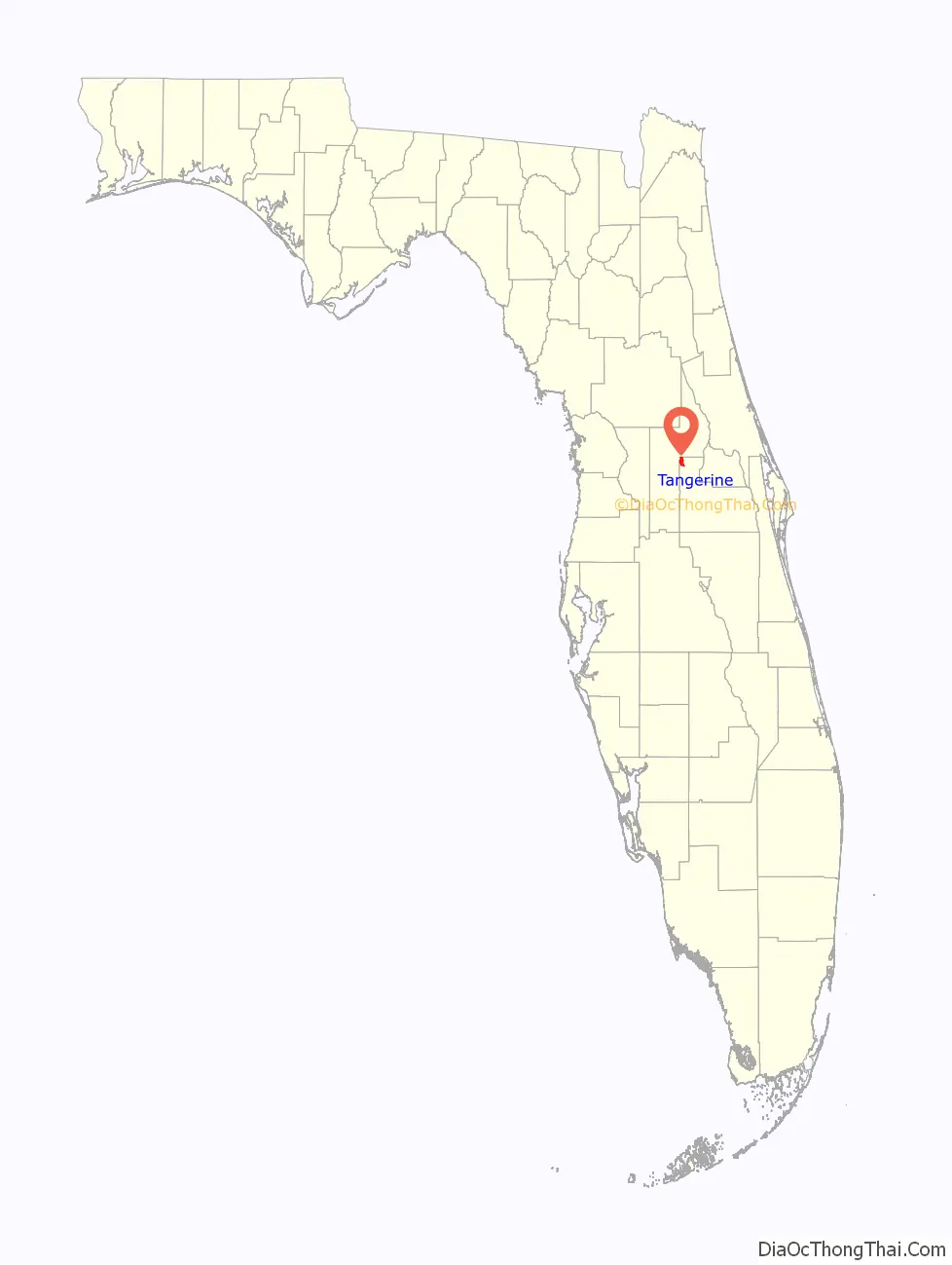
Tangerine location map. Where is Tangerine CDP?
History
Timeline
Dudley W. Adams arrives at what is known as the “Olaville” settlement in Northwest Orange County, Florida.
During a neighborhood meeting at the home of Miss Bessie Heustis, sister-in-law of Mr. Adams, the name of Olaville is changed to Tangerine, the group being inspired by the fruit of the tree that grew by her doorstep.
The Congregational Church is founded as the Union Church of Christ in Tangerine. Shortly thereafter, the name is changed to the Congregational Church of Christ and a church building is constructed. In the 1940s, the church is named Tangerine Community Church.
The Tangerine Improvement Society (TIS) is founded by local Tangerine women. Men are later admitted in 1920.
Mr. and Mrs. William H. and Addie G. Earl donate land to TIS for a community building – “Tangerine Community Hall.”
The Tangerine Community Hall opens its doors to community use.
Mrs. Sadie Trimble gifts Trimble Park, situated between Lakes Beauclaire and Carlton, to Orange County.
Land later to become Tangerine Park is conveyed to the Tangerine Improvement Society.
The Tangerine Community Hall catches fire. The nearby Zellwood, Florida fire department responds within seven minutes, but the building is destroyed.
A new TIS building at 7101 Wright Ave. is dedicated as Johnston Hall in honor of Cecil “CeCe” Johnston for his dedication and service to Tangerine. When the original TIS building burned in 1972, Mr. Johnston led the drive for funds to erect the new building.
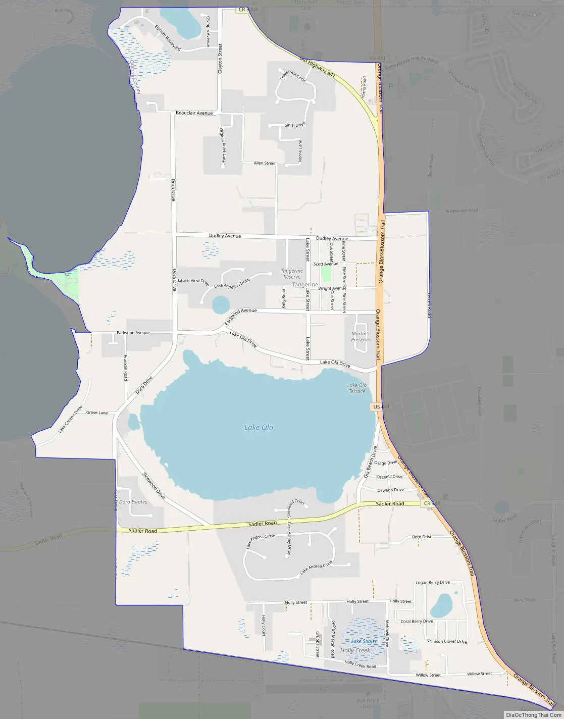
Tangerine Road Map
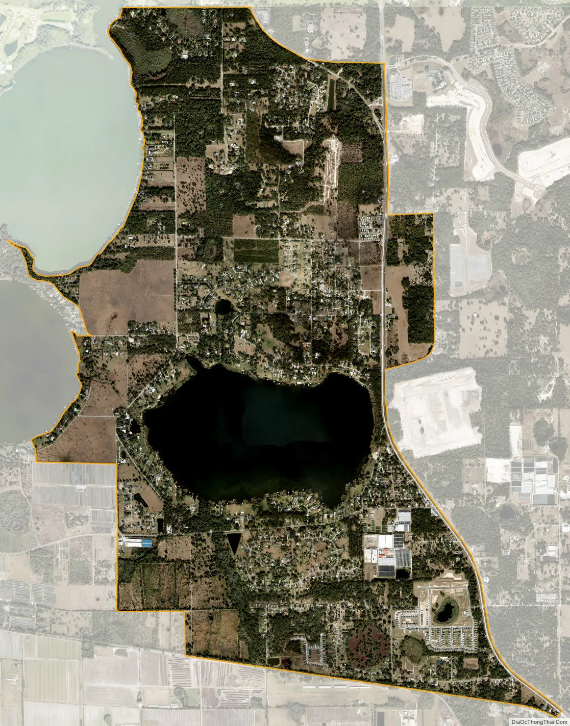
Tangerine city Satellite Map
Geography
Tangerine is located at 28°45′31″N 81°37′55″W / 28.75861°N 81.63194°W / 28.75861; -81.63194 (28.758581, -81.631852).
According to the United States Census Bureau, the CDP has a total area of 5.3 square miles (13.7 km), of which 4.6 square miles (11.8 km) is land and 0.73 square miles (1.9 km) (13.85%) is water.
See also
Map of Florida State and its subdivision:- Alachua
- Baker
- Bay
- Bradford
- Brevard
- Broward
- Calhoun
- Charlotte
- Citrus
- Clay
- Collier
- Columbia
- Desoto
- Dixie
- Duval
- Escambia
- Flagler
- Franklin
- Gadsden
- Gilchrist
- Glades
- Gulf
- Hamilton
- Hardee
- Hendry
- Hernando
- Highlands
- Hillsborough
- Holmes
- Indian River
- Jackson
- Jefferson
- Lafayette
- Lake
- Lee
- Leon
- Levy
- Liberty
- Madison
- Manatee
- Marion
- Martin
- Miami-Dade
- Monroe
- Nassau
- Okaloosa
- Okeechobee
- Orange
- Osceola
- Palm Beach
- Pasco
- Pinellas
- Polk
- Putnam
- Saint Johns
- Saint Lucie
- Santa Rosa
- Sarasota
- Seminole
- Sumter
- Suwannee
- Taylor
- Union
- Volusia
- Wakulla
- Walton
- Washington
- Alabama
- Alaska
- Arizona
- Arkansas
- California
- Colorado
- Connecticut
- Delaware
- District of Columbia
- Florida
- Georgia
- Hawaii
- Idaho
- Illinois
- Indiana
- Iowa
- Kansas
- Kentucky
- Louisiana
- Maine
- Maryland
- Massachusetts
- Michigan
- Minnesota
- Mississippi
- Missouri
- Montana
- Nebraska
- Nevada
- New Hampshire
- New Jersey
- New Mexico
- New York
- North Carolina
- North Dakota
- Ohio
- Oklahoma
- Oregon
- Pennsylvania
- Rhode Island
- South Carolina
- South Dakota
- Tennessee
- Texas
- Utah
- Vermont
- Virginia
- Washington
- West Virginia
- Wisconsin
- Wyoming