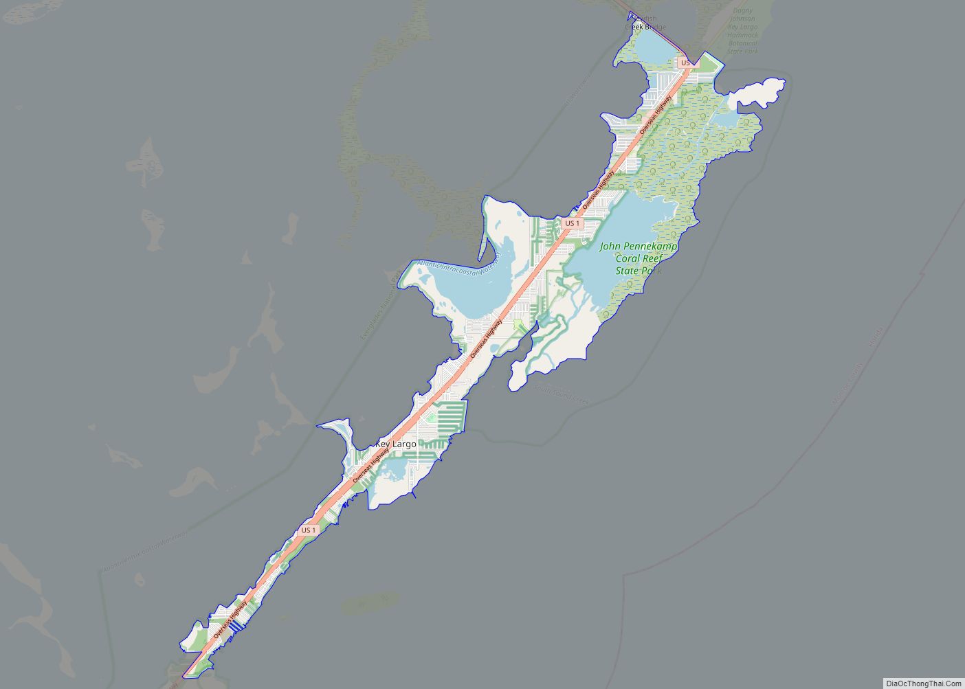
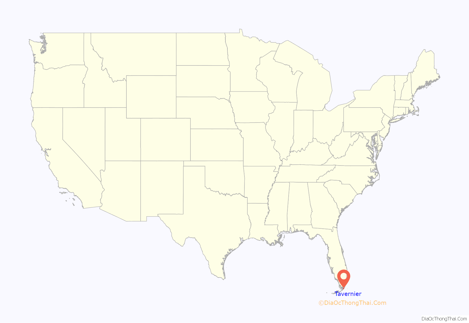
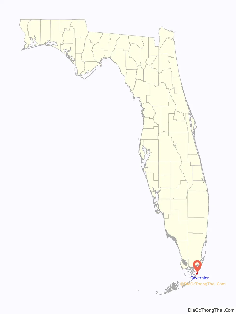
Tavernier is a census-designated place (CDP) and unincorporated community in Monroe County, Florida, United States on Key Largo, the largest island in the upper Florida Keys. Tavernier’s population was 2,530 at the 2020 census, up from 2,136 in 2010.
| Name: | Tavernier CDP |
|---|---|
| LSAD Code: | 57 |
| LSAD Description: | CDP (suffix) |
| State: | Florida |
| County: | Monroe County |
| Elevation: | 7 ft (2 m) |
| Total Area: | 2.64 sq mi (6.83 km²) |
| Land Area: | 2.51 sq mi (6.51 km²) |
| Water Area: | 0.12 sq mi (0.32 km²) |
| Total Population: | 2,530 |
| Population Density: | 1,006.36/sq mi (388.63/km²) |
| ZIP code: | 33070 |
| Area code: | 305 |
| FIPS code: | 1271250 |
| GNISfeature ID: | 0292061 |
Online Interactive Map
Click on ![]() to view map in "full screen" mode.
to view map in "full screen" mode.
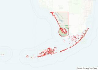
Tavernier location map. Where is Tavernier CDP?
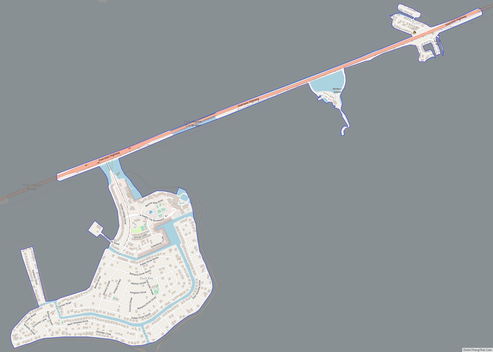
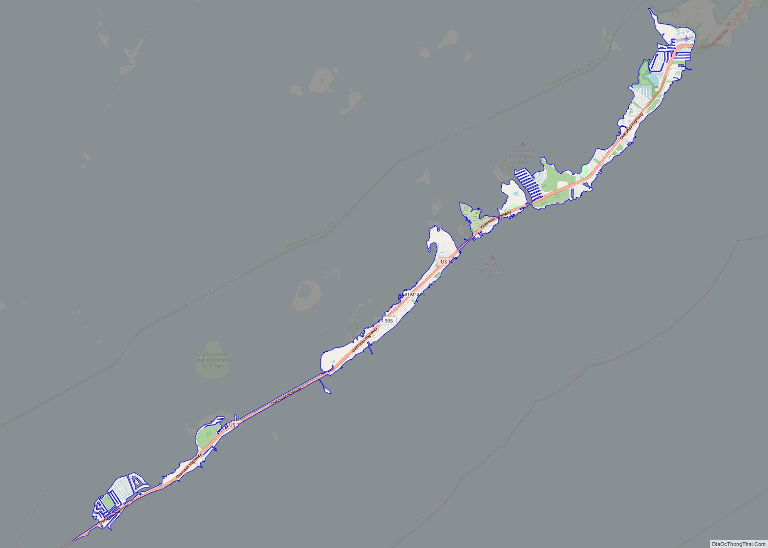
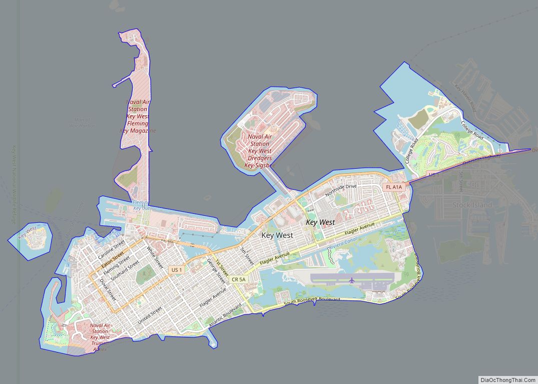
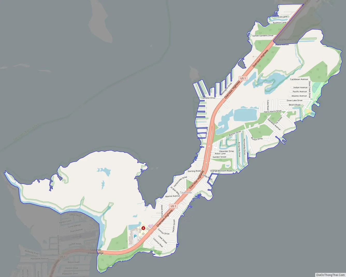
Tavernier Road Map
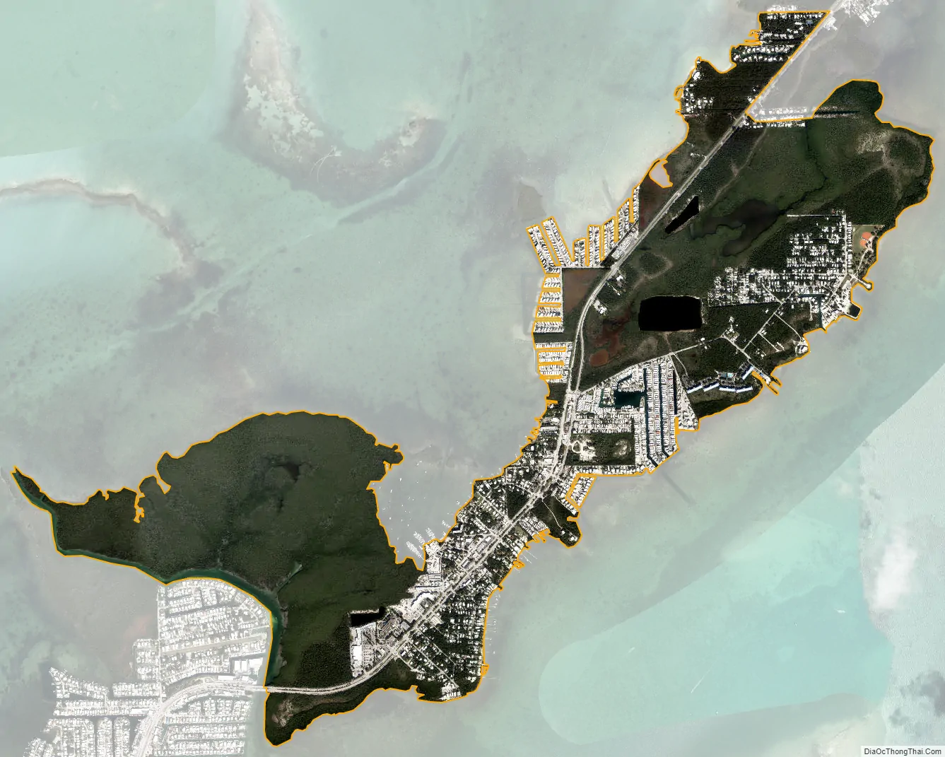
Tavernier city Satellite Map
Geography
Tavernier is located at 25°0′55″N 80°30′49″W / 25.01528°N 80.51361°W / 25.01528; -80.51361 (25.015156, -80.513678). It occupies the southwesternmost 3 miles (5 km) of Key Largo, the largest of the Florida Keys. Tavernier is bordered to the northeast by the community of Key Largo and to the southwest, across Tavernier Creek, by the village of Islamorada on Plantation Key.
U.S. Route 1 (the Overseas Highway) runs through Tavernier, leading southwest 90 miles (140 km) to Key West and northeast 64 miles (103 km) to Miami.
According to the United States Census Bureau, the Tavernier CDP has a total area of 2.6 square miles (6.7 km), of which 0.1 square miles (0.3 km), or 4.66%, are water.
See also
Map of Florida State and its subdivision:- Alachua
- Baker
- Bay
- Bradford
- Brevard
- Broward
- Calhoun
- Charlotte
- Citrus
- Clay
- Collier
- Columbia
- Desoto
- Dixie
- Duval
- Escambia
- Flagler
- Franklin
- Gadsden
- Gilchrist
- Glades
- Gulf
- Hamilton
- Hardee
- Hendry
- Hernando
- Highlands
- Hillsborough
- Holmes
- Indian River
- Jackson
- Jefferson
- Lafayette
- Lake
- Lee
- Leon
- Levy
- Liberty
- Madison
- Manatee
- Marion
- Martin
- Miami-Dade
- Monroe
- Nassau
- Okaloosa
- Okeechobee
- Orange
- Osceola
- Palm Beach
- Pasco
- Pinellas
- Polk
- Putnam
- Saint Johns
- Saint Lucie
- Santa Rosa
- Sarasota
- Seminole
- Sumter
- Suwannee
- Taylor
- Union
- Volusia
- Wakulla
- Walton
- Washington
- Alabama
- Alaska
- Arizona
- Arkansas
- California
- Colorado
- Connecticut
- Delaware
- District of Columbia
- Florida
- Georgia
- Hawaii
- Idaho
- Illinois
- Indiana
- Iowa
- Kansas
- Kentucky
- Louisiana
- Maine
- Maryland
- Massachusetts
- Michigan
- Minnesota
- Mississippi
- Missouri
- Montana
- Nebraska
- Nevada
- New Hampshire
- New Jersey
- New Mexico
- New York
- North Carolina
- North Dakota
- Ohio
- Oklahoma
- Oregon
- Pennsylvania
- Rhode Island
- South Carolina
- South Dakota
- Tennessee
- Texas
- Utah
- Vermont
- Virginia
- Washington
- West Virginia
- Wisconsin
- Wyoming