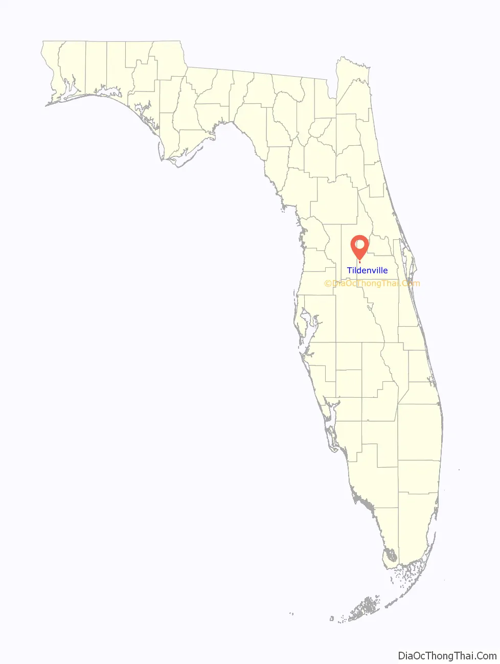
Tildenville is a census-designated place (CDP) and an unincorporated area in Orange County, Florida, United States. The population was 511 at the 2010 census. It is part of the Orlando–Kissimmee Metropolitan Statistical Area. Generally speaking, Tildenville is a narrow area alongside Orange County Road 545, south of Florida State Road 50 and north of the Stoneybrook West planned unit development. Residents utilize Winter Garden, Florida for mail delivery. The CDP takes its name from Luther F. Tilden, a prominent pioneer and citrus magnate who greatly contributed to the community. Historically, Tildenville referred to an area larger than the modern CDP. Landmarks such as Tildenville Elementary School, Tildenville Marketplace, and Meadow Marsh are now located within the city limits of Winter Garden.
| Name: | Tildenville CDP |
|---|---|
| LSAD Code: | 57 |
| LSAD Description: | CDP (suffix) |
| State: | Florida |
| County: | Orange County |
| Elevation: | 102 ft (31 m) |
| Total Area: | 0.24 sq mi (0.62 km²) |
| Land Area: | 0.21 sq mi (0.54 km²) |
| Water Area: | 0.03 sq mi (0.08 km²) |
| Total Population: | 475 |
| Population Density: | 2,283.65/sq mi (883.59/km²) |
| ZIP code: | 34787 |
| Area code: | 321 |
| FIPS code: | 1271850 |
| GNISfeature ID: | 0292293 |
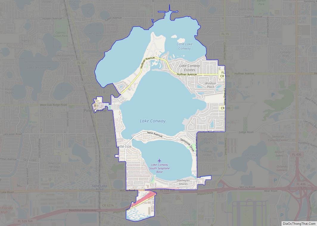
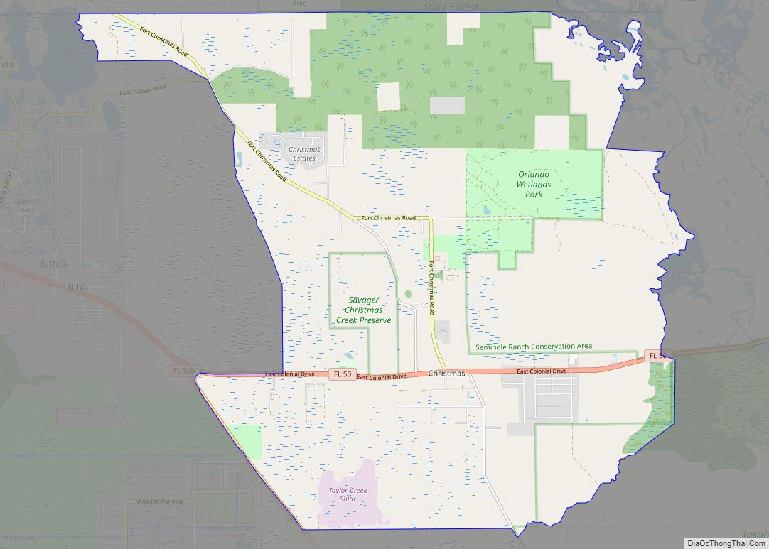
Online Interactive Map
Click on ![]() to view map in "full screen" mode.
to view map in "full screen" mode.
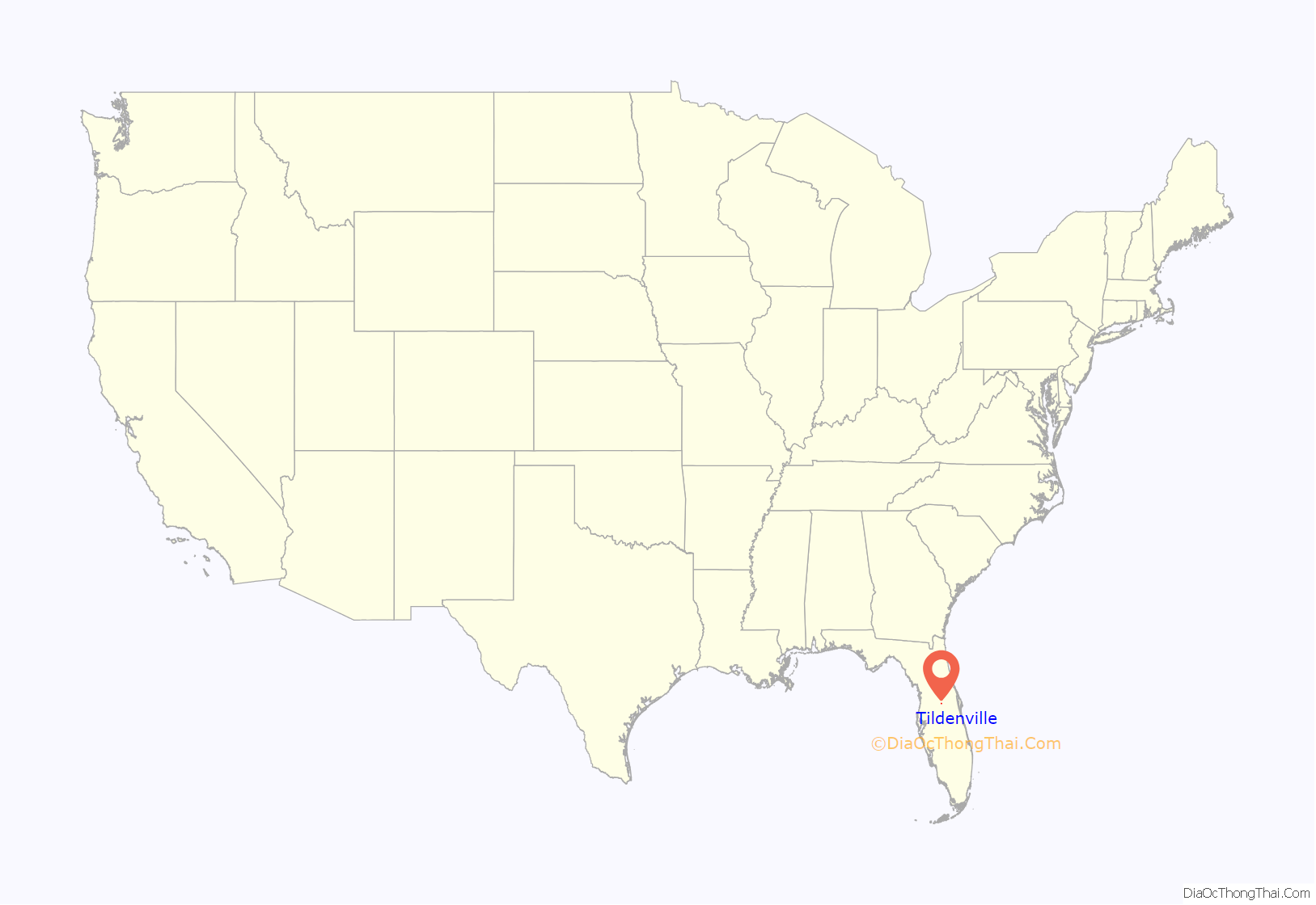
Tildenville location map. Where is Tildenville CDP?
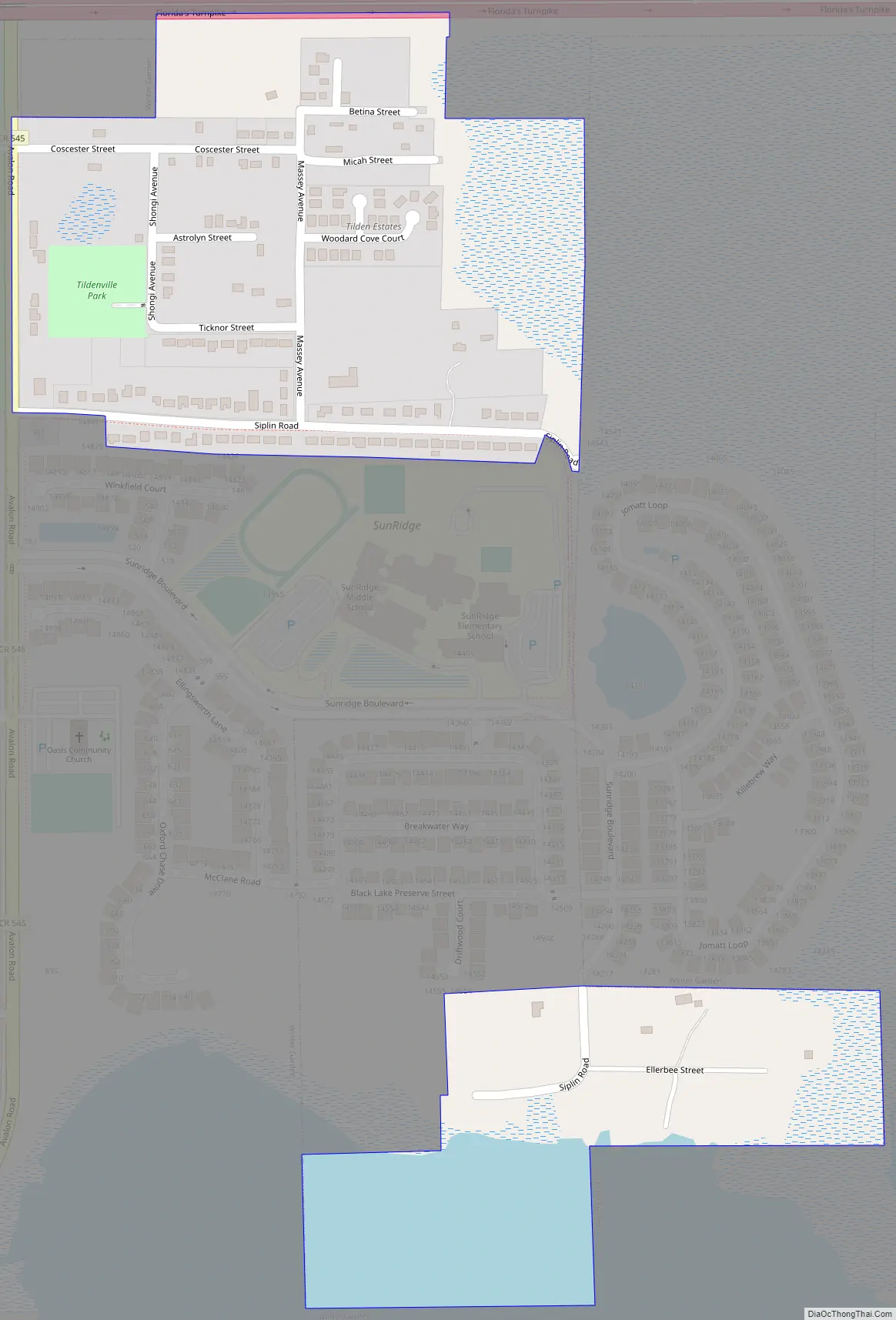
Tildenville Road Map
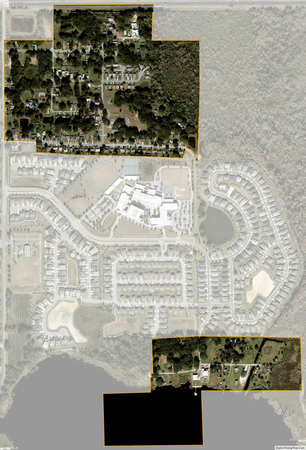
Tildenville city Satellite Map
Geography
Tildenville is located at 28°32′22″N 81°36′2″W / 28.53944°N 81.60056°W / 28.53944; -81.60056 (28.539309, -81.600432).
According to the United States Census Bureau, the CDP has a total area of 1.1 km (0.4 mi), of which 0.9 km (0.3 mi) is land and 0.2 km (0.1 mi) (14.63%) is water.
See also
Map of Florida State and its subdivision:- Alachua
- Baker
- Bay
- Bradford
- Brevard
- Broward
- Calhoun
- Charlotte
- Citrus
- Clay
- Collier
- Columbia
- Desoto
- Dixie
- Duval
- Escambia
- Flagler
- Franklin
- Gadsden
- Gilchrist
- Glades
- Gulf
- Hamilton
- Hardee
- Hendry
- Hernando
- Highlands
- Hillsborough
- Holmes
- Indian River
- Jackson
- Jefferson
- Lafayette
- Lake
- Lee
- Leon
- Levy
- Liberty
- Madison
- Manatee
- Marion
- Martin
- Miami-Dade
- Monroe
- Nassau
- Okaloosa
- Okeechobee
- Orange
- Osceola
- Palm Beach
- Pasco
- Pinellas
- Polk
- Putnam
- Saint Johns
- Saint Lucie
- Santa Rosa
- Sarasota
- Seminole
- Sumter
- Suwannee
- Taylor
- Union
- Volusia
- Wakulla
- Walton
- Washington
- Alabama
- Alaska
- Arizona
- Arkansas
- California
- Colorado
- Connecticut
- Delaware
- District of Columbia
- Florida
- Georgia
- Hawaii
- Idaho
- Illinois
- Indiana
- Iowa
- Kansas
- Kentucky
- Louisiana
- Maine
- Maryland
- Massachusetts
- Michigan
- Minnesota
- Mississippi
- Missouri
- Montana
- Nebraska
- Nevada
- New Hampshire
- New Jersey
- New Mexico
- New York
- North Carolina
- North Dakota
- Ohio
- Oklahoma
- Oregon
- Pennsylvania
- Rhode Island
- South Carolina
- South Dakota
- Tennessee
- Texas
- Utah
- Vermont
- Virginia
- Washington
- West Virginia
- Wisconsin
- Wyoming