Town ‘n’ Country is a census-designated place (CDP) in Hillsborough County, Florida, United States. The population was 85,951 at the 2020 census.
Within Town ‘n’ Country are located Bay Crest Park, Countryway, Rocky Creek, Sweetwater Creek.
| Name: | Town ‘n’ Country CDP |
|---|---|
| LSAD Code: | 57 |
| LSAD Description: | CDP (suffix) |
| State: | Florida |
| County: | Hillsborough County |
| Elevation: | 6 ft (2 m) |
| Total Area: | 24.14 sq mi (62.52 km²) |
| Land Area: | 22.09 sq mi (57.22 km²) |
| Water Area: | 2.05 sq mi (5.30 km²) |
| Total Population: | 85,951 |
| Population Density: | 3,890.42/sq mi (1,502.11/km²) |
| ZIP code: | 33615 |
| Area code: | 813 |
| FIPS code: | 1272145 |
| GNISfeature ID: | 1867220 |
Online Interactive Map
Click on ![]() to view map in "full screen" mode.
to view map in "full screen" mode.
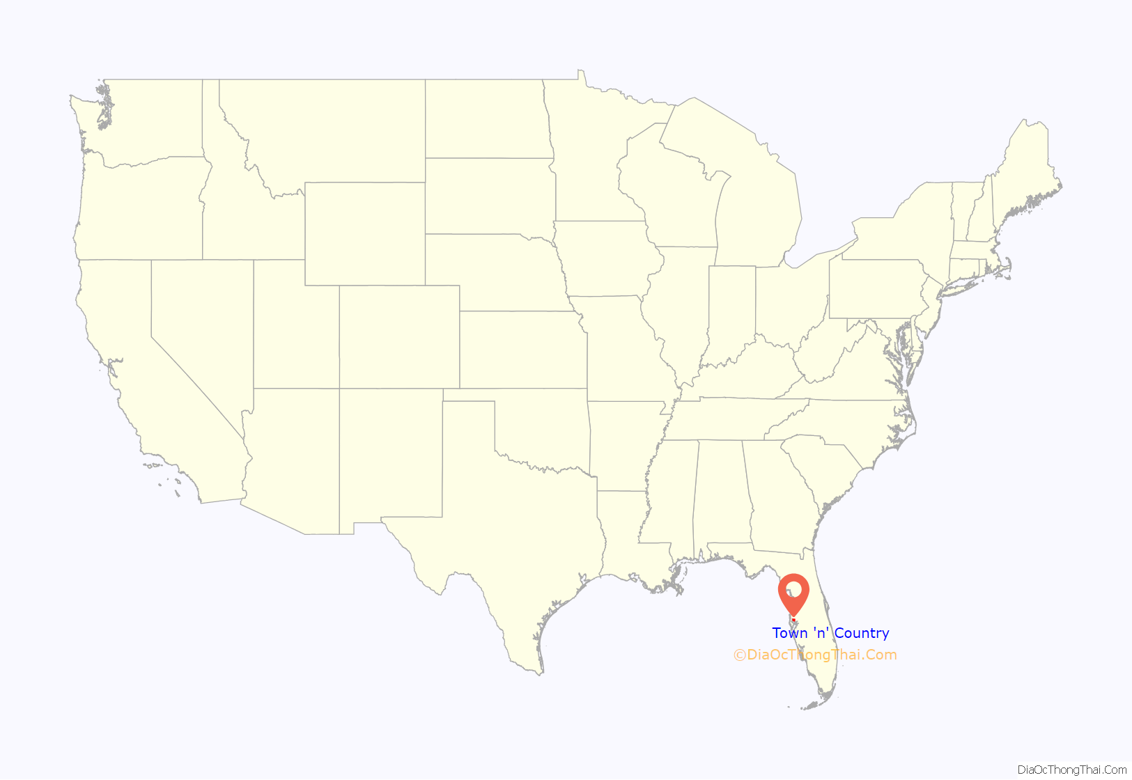
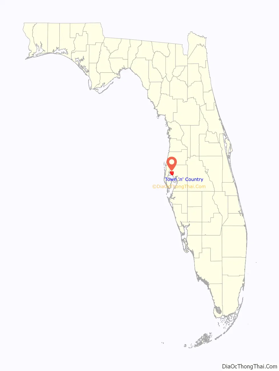
Town ‘n’ Country location map. Where is Town ‘n’ Country CDP?
History
Prior to the 1950s, Town ‘n’ Country was primarily natural areas and cattle farms. In 1958, the LaMonte-Shimberg Corporation purchased a 525-acre dairy farm from the Webb family near the Hillsborough Avenue-Memorial intersection to construct the Town ‘n’ Country Park subdivision, making the area one of Tampa’s first suburban communities. By the time the original developers and builders of Town ‘n’ Country had built their last house, the area covered more than 2,000 acres and stretched over three miles from Memorial Highway on the south to north of Waters Avenue. In this area, nearly 8,000 single-family homes and townhouses were built from 1958 to 1978 by LaMonte-Shimberg.
By 1971, Tampa International Airport opened near the area, resulting in massive suburban sprawl, along the Hillsborough Avenue corridor. Due to the little zoning regulations in Hillsborough County at the time, CBS 60 Minutes did a segment on the poor infrastructure and negative environmental impact in Tampa Bay. Town ‘n’ Country and its surrounding areas closer to the bay. They were the prime focus of the segment, in part to the large amounts of raw sewage draining in to the bay and the heavy congestion along Hillsborough Avenue.
Town’n’Country has long been known for its large Latino population. As early as 1968, the former Town ‘n’ Country theater, at 7575 West Hillsborough Avenue; would even alternate films between English and Spanish, or English with Spanish subtitles. As of the 2020 U.S. Census, Latino’s make up the majority of Town ‘n’ Country’s residents; most of whom are Cuban and Puerto Rican. Although, in recent years the area has seen a large influx of Dominicans, Brazilians, Venezuelans, Columbians and Mexicans settling in the area, making the community a diverse ethnic enclave of Latino’s. Surrounding communities, such as Egypt Lake-Leto and Drew Park, also happen to be majority Latino communities. Many locals tend to refer to this entire area as West Tampa, which is actually incorrect; as the actual boundaries of Old West Tampa are north of Kennedy Boulevard to Dr. Martin Luther King Boulevard (formerly Buffalo Avenue), then West of Rome Avenue to Dale Mabry Highway.
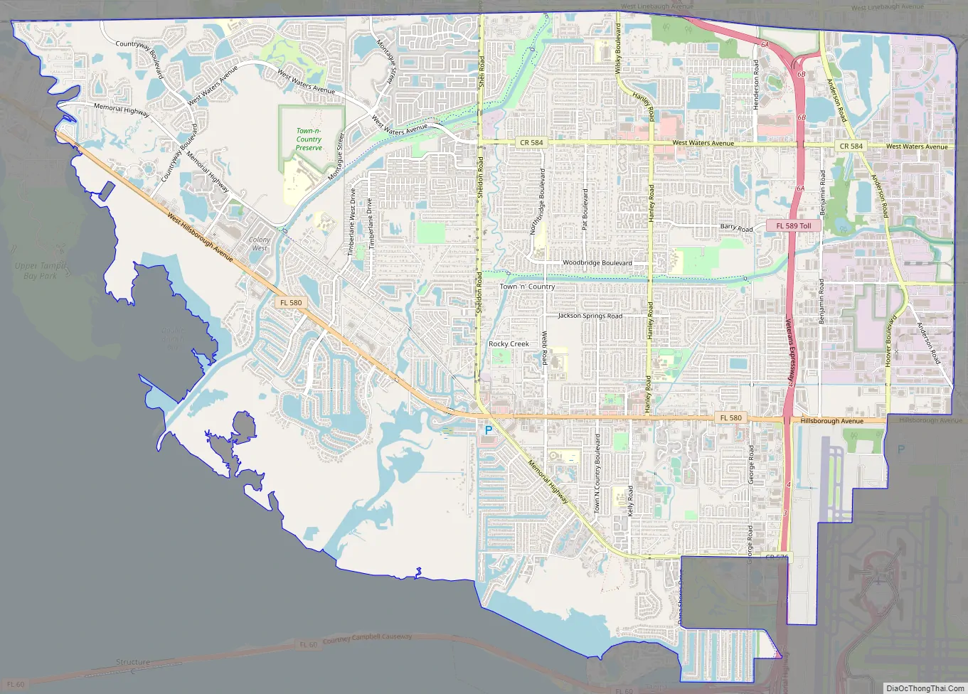
Town ‘n’ Country Road Map
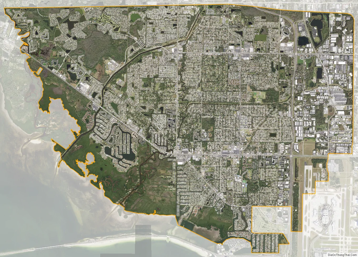
Town ‘n’ Country city Satellite Map
Geography
Town ‘n’ Country is located in western Hillsborough County at 28°0′36″N 82°34′22″W / 28.01000°N 82.57278°W / 28.01000; -82.57278 (28.010046, -82.572815). It is bordered to the south by the city of Tampa and is about 12 miles (19 km) northwest of downtown. The CDP is bordered to the north by Westchase, Citrus Park, and Carrollwood, and to the east by Egypt Lake-Leto. To the west is the city of Oldsmar in Pinellas County. The northwest portion of Tampa International Airport is located within Town ‘n’ Country CDP.
According to the United States Census Bureau, the CDP has a total area of 24.1 square miles (62.5 km), of which 22.1 square miles (57.3 km) are land and 2.0 square miles (5.2 km), or 8.39%, are water.
See also
Map of Florida State and its subdivision:- Alachua
- Baker
- Bay
- Bradford
- Brevard
- Broward
- Calhoun
- Charlotte
- Citrus
- Clay
- Collier
- Columbia
- Desoto
- Dixie
- Duval
- Escambia
- Flagler
- Franklin
- Gadsden
- Gilchrist
- Glades
- Gulf
- Hamilton
- Hardee
- Hendry
- Hernando
- Highlands
- Hillsborough
- Holmes
- Indian River
- Jackson
- Jefferson
- Lafayette
- Lake
- Lee
- Leon
- Levy
- Liberty
- Madison
- Manatee
- Marion
- Martin
- Miami-Dade
- Monroe
- Nassau
- Okaloosa
- Okeechobee
- Orange
- Osceola
- Palm Beach
- Pasco
- Pinellas
- Polk
- Putnam
- Saint Johns
- Saint Lucie
- Santa Rosa
- Sarasota
- Seminole
- Sumter
- Suwannee
- Taylor
- Union
- Volusia
- Wakulla
- Walton
- Washington
- Alabama
- Alaska
- Arizona
- Arkansas
- California
- Colorado
- Connecticut
- Delaware
- District of Columbia
- Florida
- Georgia
- Hawaii
- Idaho
- Illinois
- Indiana
- Iowa
- Kansas
- Kentucky
- Louisiana
- Maine
- Maryland
- Massachusetts
- Michigan
- Minnesota
- Mississippi
- Missouri
- Montana
- Nebraska
- Nevada
- New Hampshire
- New Jersey
- New Mexico
- New York
- North Carolina
- North Dakota
- Ohio
- Oklahoma
- Oregon
- Pennsylvania
- Rhode Island
- South Carolina
- South Dakota
- Tennessee
- Texas
- Utah
- Vermont
- Virginia
- Washington
- West Virginia
- Wisconsin
- Wyoming


