Oldsmar is a city in Pinellas County, Florida, United States. As of the 2020 census, the city had a population of 14,898. The Oldsmar name dates to April 12, 1916 when automobile pioneer Ransom E. Olds purchased 37,541 acres (151.92 km) of land north of Tampa Bay to establish a planned community.
| Name: | Oldsmar city |
|---|---|
| LSAD Code: | 25 |
| LSAD Description: | city (suffix) |
| State: | Florida |
| County: | Pinellas County |
| Elevation: | 7 ft (2 m) |
| Total Area: | 10.10 sq mi (26.15 km²) |
| Land Area: | 8.95 sq mi (23.17 km²) |
| Water Area: | 1.15 sq mi (2.98 km²) |
| Total Population: | 14,898 |
| Population Density: | 1,665.33/sq mi (642.97/km²) |
| ZIP code: | 34677 |
| FIPS code: | 1251350 |
| GNISfeature ID: | 0288131 |
| Website: | www.myoldsmar.com |
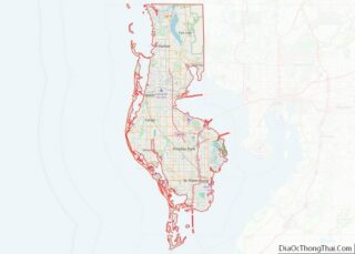
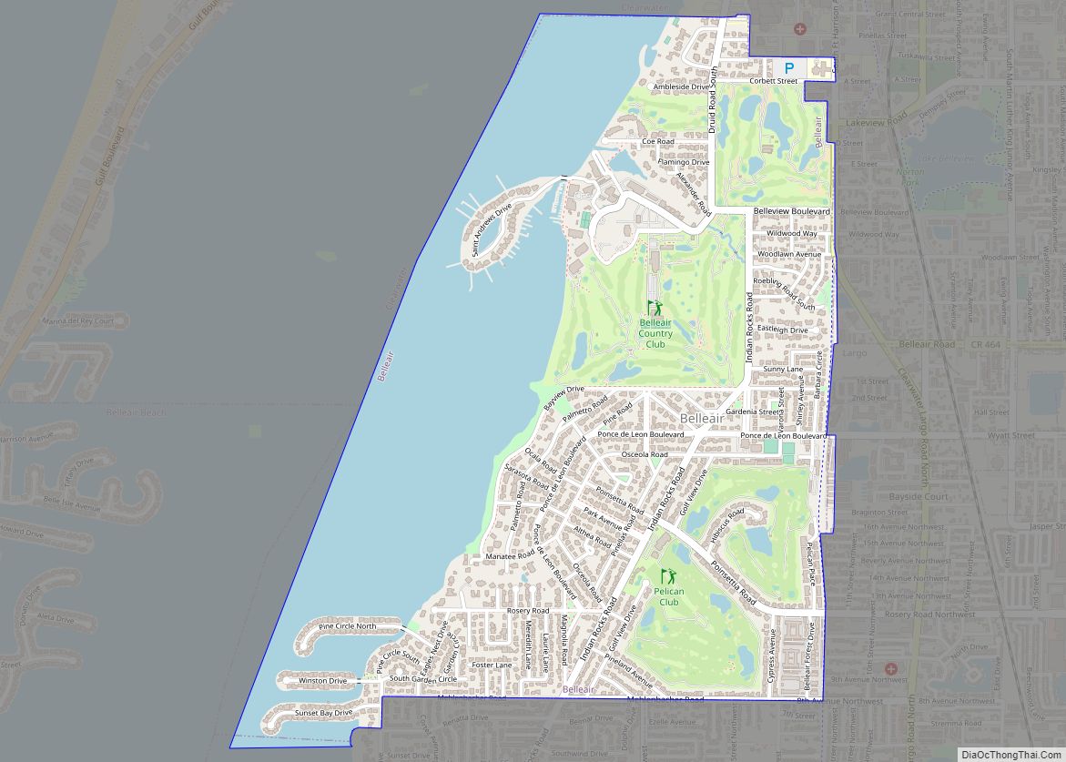
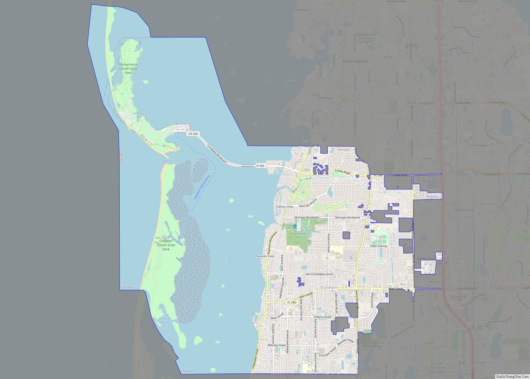
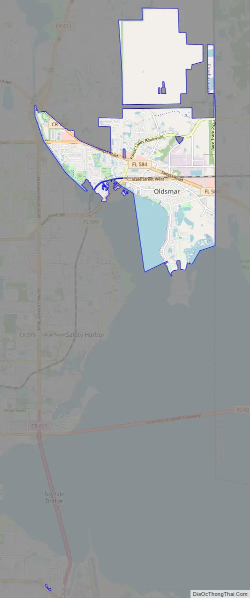
Online Interactive Map
Click on ![]() to view map in "full screen" mode.
to view map in "full screen" mode.
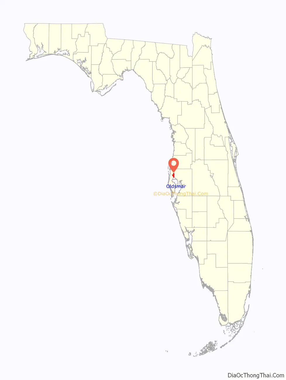
Oldsmar location map. Where is Oldsmar city?

History
A number of archeological digs in the Oldsmar area revealed small campsites as well as permanent villages that date from the Archaic period (c. 8000 to 1000 BCE).
In 1916, Ransom E. Olds purchased 37,541 acres (151.92 km2) on the northern tip of Tampa Bay in order to design a planned community. The property appealed to Olds because of its proximity to several other towns (including Tampa and Tarpon Springs) as well as being located on the Tampa and Gulf Coast division of the Seaboard Air Line Railroad. The town went through a number of name changes. Initially, it was called R. E. Olds-on-the-Bay and then changed to Oldsmar. In 1927 the name was again changed, this time to Tampa Shores. And finally, in 1937, it went back to its old name of Oldsmar.
Shortly after purchasing the property, Olds formed the Reo Farms Company (renamed Reolds Farms Company) in order to administer to the creation of his new town. Architects and city planners were hired to create drafts and laborers were hired for construction. The town possessed the staples of any small town, such as churches, schools, and a bank, as well as a railroad depot, sawmill, and dock facilities on the 10 miles of waterfront that faced Old Tampa Bay. Outside of town, tracts of land were parcelled up for agriculture. To advertise how good the land was for growing crops and raising livestock, the Reolds Farms Company built a model farm. On the farm was a herd of cattle, horses, pigs, and other livestock. They also had plots planted with potatoes, turnips, beets, celery, and citrus fruits, among other crops. An oil well was drilled but was never productive.
The company also initiated a large publicity campaign to attract Northerners into becoming residents. One of the more popular slogans used was “Oldsmar for Health, Wealth and Happiness.” Tours were also planned with Pullmans chartered between Detroit and Oldsmar. To accommodate prospective residents and other tourists a 60-room hotel called the Wayside Inn was built.
Olds named some of the roads himself including Gim Gong Road, named after the horticulturalist Lue Gim Gong. Olds had hired Gim Gong to help set up the agricultural community.
In 1919, the city’s first library was started by the Woman’s Club. It would later be donated to the city in 1977.
Original city plans included a golf course and a luxury hotel on the bay, but neither were ever built. A sawmill and foundry were established that made cast-iron engines for tractors and grove heaters. The mill also produced the Olds Chair (also called the Oldsmar Chair). The chair was similar to the popular Adirondack chair and was made out of either yellow pine or cypress.
Olds provided financial backing for the Kardell Tractor and Truck Company to move into town. Renamed Oldsmar Tractor Company, Olds had hoped it would devise a machine to clear out palmetto roots, pine stumps, and other scrub, which all had to be removed by hand otherwise. Eventually, Oldsmar had dairy and agricultural farms and, in the early days, it was a common sight to see cattle and hogs running loose through the town. Aside from peppers, tomatoes, corn, gladiolus, and grapes, a banana plantation was established but the winters proved too harsh and the crops failed.
In 1921, a hurricane hit Tampa Bay. Because Oldsmar sits on a plateau with an elevation never rising over 20 feet (6.1 m) above sea level, it was devastated by the storm. Large trees were uprooted and floodwater reached levels 14 feet (4.3 m) above normal. Some of the homes that survived the storm were moved, by barge, to St. Petersburg in the following two decades.
Olds spent a reported $100,000 drilling an oil well that never yielded. The well is now capped and sits on the grounds of the Tampa Bay Downs Racetrack. Other such wells were dug in Florida; two in the Panhandle and one in Sarasota, but none of them possessed the technology to drill through the Florida aquifer.
By 1923, Olds had over $4.5 million invested in the community and there was only a population of around 200 inhabitants. When he realized Oldsmar was not growing as anticipated, he began liquidating his assets by first selling unplatted parcels of land. The racetrack was nearly completed when he traded it for the Fort Harrison Hotel in Clearwater. The rest of the land was traded for the Belerive Hotel in Kansas. By the time Olds left town, he had suffered a loss of nearly $3 million. While Olds envisioned a city of 100,000, the population was around 200 when he left.
Harry A. Prettyman, a St. Louis promoter, and his associates continued to sell lots in town following Olds’s departure. Prettyman staged promotional gimmicks like Gold Rushes where pieces of gold were buried on a vacant lot and everyone got to dig for it. In 1927 Prettyman was caught selling underwater lots. To avoid scandal, the town of Oldsmar was renamed Tampa Shores. It wasn’t until 1935 that the last of the property owned by Olds was finally sold.
Oldsmar Road Map
Oldsmar city Satellite Map

Geography
Oldsmar is located at 28°02′31″N 82°40′35″W / 28.042061°N 82.676350°W / 28.042061; -82.676350.
According to the United States Census Bureau, the city has a total area of 9.7 square miles (25.0 km), of which 8.7 square miles (22.5 km) is land and 0.97 square miles (2.5 km) (9.83%) is water.
See also
Map of Florida State and its subdivision:- Alachua
- Baker
- Bay
- Bradford
- Brevard
- Broward
- Calhoun
- Charlotte
- Citrus
- Clay
- Collier
- Columbia
- Desoto
- Dixie
- Duval
- Escambia
- Flagler
- Franklin
- Gadsden
- Gilchrist
- Glades
- Gulf
- Hamilton
- Hardee
- Hendry
- Hernando
- Highlands
- Hillsborough
- Holmes
- Indian River
- Jackson
- Jefferson
- Lafayette
- Lake
- Lee
- Leon
- Levy
- Liberty
- Madison
- Manatee
- Marion
- Martin
- Miami-Dade
- Monroe
- Nassau
- Okaloosa
- Okeechobee
- Orange
- Osceola
- Palm Beach
- Pasco
- Pinellas
- Polk
- Putnam
- Saint Johns
- Saint Lucie
- Santa Rosa
- Sarasota
- Seminole
- Sumter
- Suwannee
- Taylor
- Union
- Volusia
- Wakulla
- Walton
- Washington
- Alabama
- Alaska
- Arizona
- Arkansas
- California
- Colorado
- Connecticut
- Delaware
- District of Columbia
- Florida
- Georgia
- Hawaii
- Idaho
- Illinois
- Indiana
- Iowa
- Kansas
- Kentucky
- Louisiana
- Maine
- Maryland
- Massachusetts
- Michigan
- Minnesota
- Mississippi
- Missouri
- Montana
- Nebraska
- Nevada
- New Hampshire
- New Jersey
- New Mexico
- New York
- North Carolina
- North Dakota
- Ohio
- Oklahoma
- Oregon
- Pennsylvania
- Rhode Island
- South Carolina
- South Dakota
- Tennessee
- Texas
- Utah
- Vermont
- Virginia
- Washington
- West Virginia
- Wisconsin
- Wyoming