Wedgefield is a census-designated place and an unincorporated area in Orange County, Florida, United States. The population was 6,705 at the 2010 census, up from 2,700 at the 2000 census. It is part of the Orlando–Kissimmee Metropolitan Statistical Area.
| Name: | Wedgefield CDP |
|---|---|
| LSAD Code: | 57 |
| LSAD Description: | CDP (suffix) |
| State: | Florida |
| County: | Orange County |
| Elevation: | 69 ft (21 m) |
| Total Area: | 23.40 sq mi (60.59 km²) |
| Land Area: | 23.33 sq mi (60.43 km²) |
| Water Area: | 0.07 sq mi (0.17 km²) |
| Total Population: | 8,017 |
| Population Density: | 343.63/sq mi (132.68/km²) |
| FIPS code: | 1275612 |
| GNISfeature ID: | 1853300 |
Online Interactive Map
Click on ![]() to view map in "full screen" mode.
to view map in "full screen" mode.
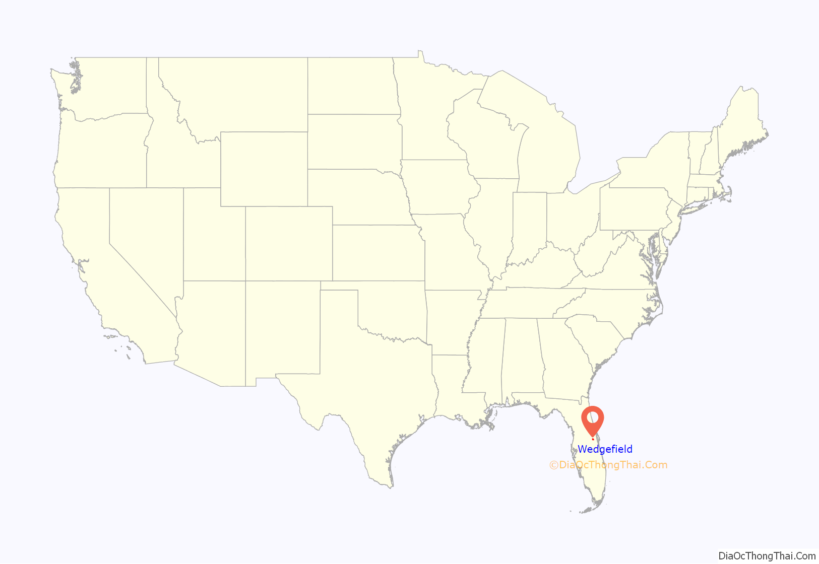
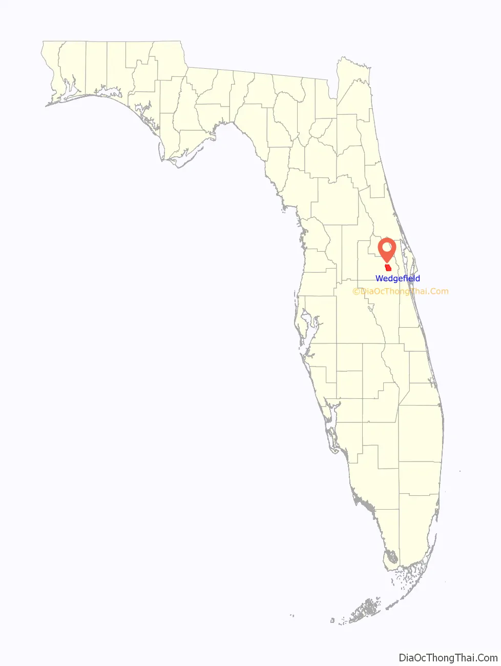
Wedgefield location map. Where is Wedgefield CDP?
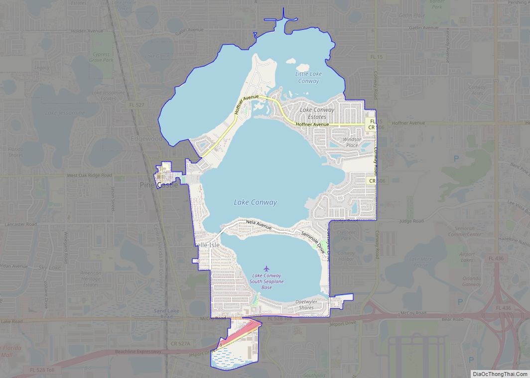
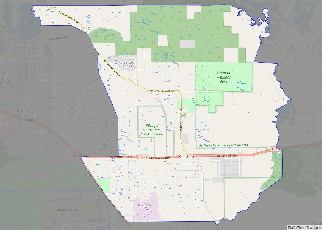
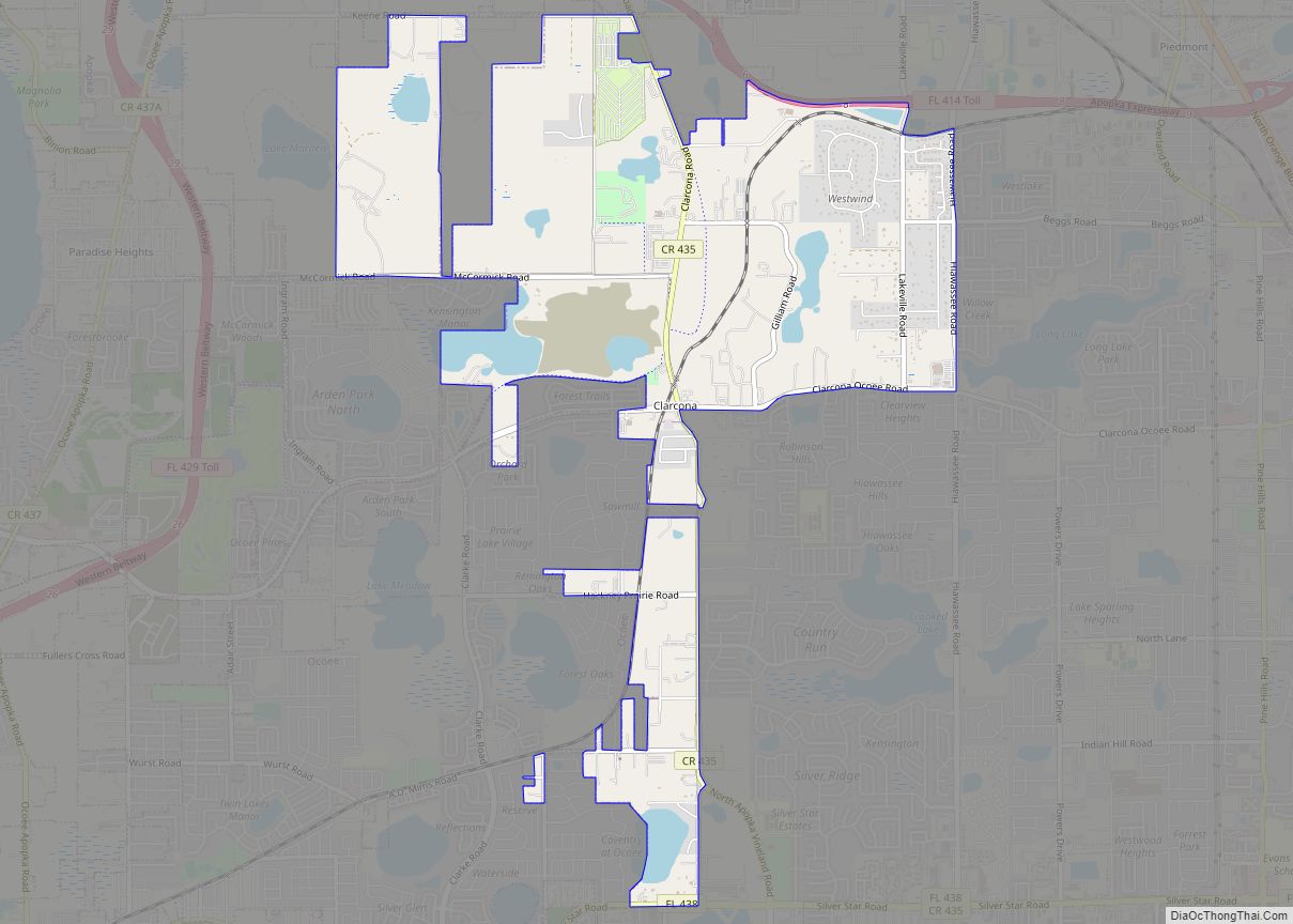
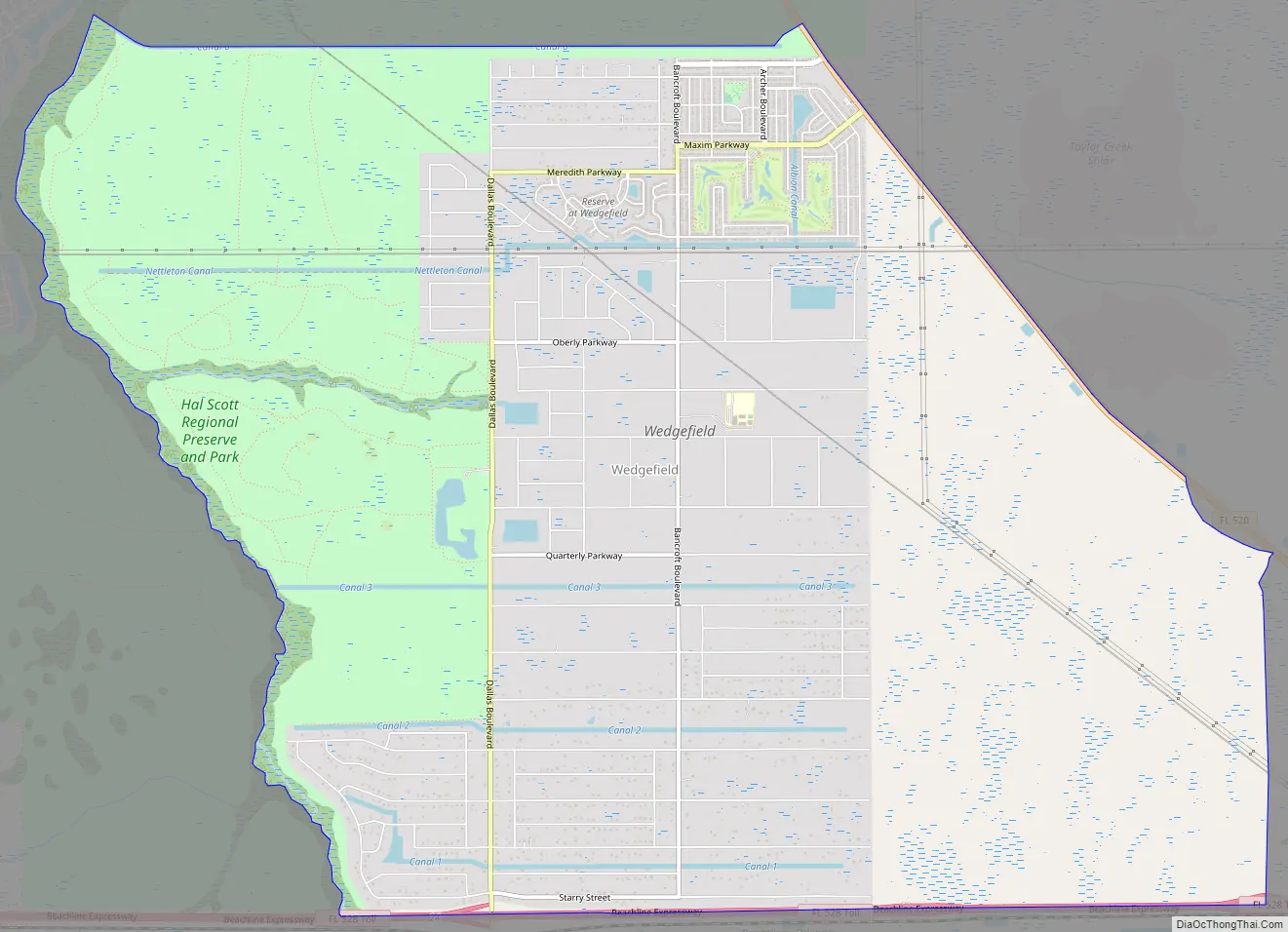
Wedgefield Road Map
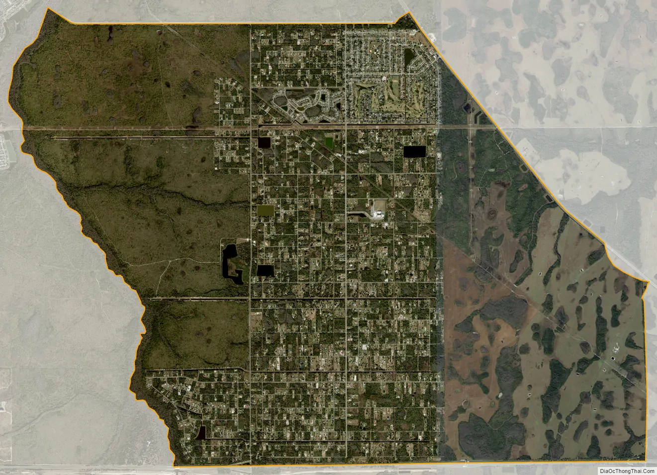
Wedgefield city Satellite Map
Geography
Wedgefield is located at 28°29′6″N 81°4′52″W / 28.48500°N 81.08111°W / 28.48500; -81.08111 (28.484930, -81.081109).
According to the United States Census Bureau, the CDP has a total area of 60.9 km (23.5 mi), of which 60.7 km (23.4 mi) is land and 0.2 km (0.1 mi) (0.34%) is water.
Wedgefield is bounded by SR 520 and SR 528 (Beachline Expressway), in a corner such that the two roads make a wedge shape where they meet. The other major road is Dallas Boulevard, formerly SR 13, which used to link to East Colonial Drive but has not for decades since a portion north of Wedgefield was demolished and sodded over. Dallas Boulevard only links directly to the Beachline (Exit 24), where only eastbound traffic can exit onto Dallas and traffic on Dallas can only enter the Beachline westbound. Traffic seeking to get onto the Beachline eastbound, SR 520 or SR 50 must take a series of side roads onto SR 520.
Most of the land in Wedgefield is divided into lots of 1-acre (4,000 m) or larger, but the majority of houses in the subdivision are situated on lots of one acre or less.
See also
Map of Florida State and its subdivision:- Alachua
- Baker
- Bay
- Bradford
- Brevard
- Broward
- Calhoun
- Charlotte
- Citrus
- Clay
- Collier
- Columbia
- Desoto
- Dixie
- Duval
- Escambia
- Flagler
- Franklin
- Gadsden
- Gilchrist
- Glades
- Gulf
- Hamilton
- Hardee
- Hendry
- Hernando
- Highlands
- Hillsborough
- Holmes
- Indian River
- Jackson
- Jefferson
- Lafayette
- Lake
- Lee
- Leon
- Levy
- Liberty
- Madison
- Manatee
- Marion
- Martin
- Miami-Dade
- Monroe
- Nassau
- Okaloosa
- Okeechobee
- Orange
- Osceola
- Palm Beach
- Pasco
- Pinellas
- Polk
- Putnam
- Saint Johns
- Saint Lucie
- Santa Rosa
- Sarasota
- Seminole
- Sumter
- Suwannee
- Taylor
- Union
- Volusia
- Wakulla
- Walton
- Washington
- Alabama
- Alaska
- Arizona
- Arkansas
- California
- Colorado
- Connecticut
- Delaware
- District of Columbia
- Florida
- Georgia
- Hawaii
- Idaho
- Illinois
- Indiana
- Iowa
- Kansas
- Kentucky
- Louisiana
- Maine
- Maryland
- Massachusetts
- Michigan
- Minnesota
- Mississippi
- Missouri
- Montana
- Nebraska
- Nevada
- New Hampshire
- New Jersey
- New Mexico
- New York
- North Carolina
- North Dakota
- Ohio
- Oklahoma
- Oregon
- Pennsylvania
- Rhode Island
- South Carolina
- South Dakota
- Tennessee
- Texas
- Utah
- Vermont
- Virginia
- Washington
- West Virginia
- Wisconsin
- Wyoming