Winter Beach is a census-designated place (CDP) in Indian River County, Florida, United States. The population was 2,067 at the 2010 census, up from 965 at the 2000 census. It is part of the Sebastian–Vero Beach Metropolitan Statistical Area.
| Name: | Winter Beach CDP |
|---|---|
| LSAD Code: | 57 |
| LSAD Description: | CDP (suffix) |
| State: | Florida |
| County: | Indian River County |
| Elevation: | 10 ft (3 m) |
| Total Area: | 6.89 sq mi (17.86 km²) |
| Land Area: | 6.88 sq mi (17.82 km²) |
| Water Area: | 0.01 sq mi (0.04 km²) |
| Total Population: | 3,136 |
| Population Density: | 455.88/sq mi (176.02/km²) |
| ZIP code: | 32971 |
| Area code: | 772 |
| FIPS code: | 1278225 |
| GNISfeature ID: | 0293422 |
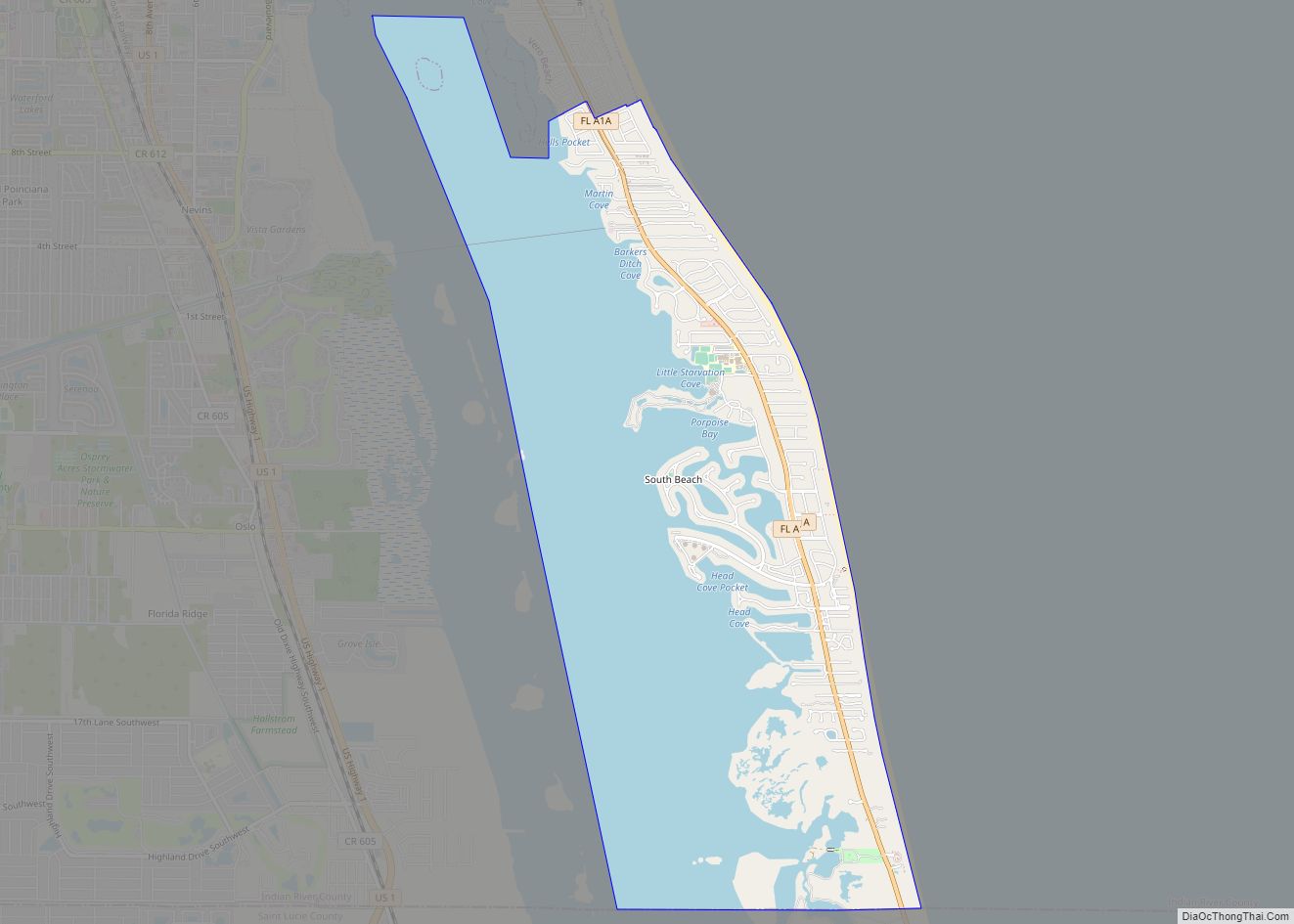
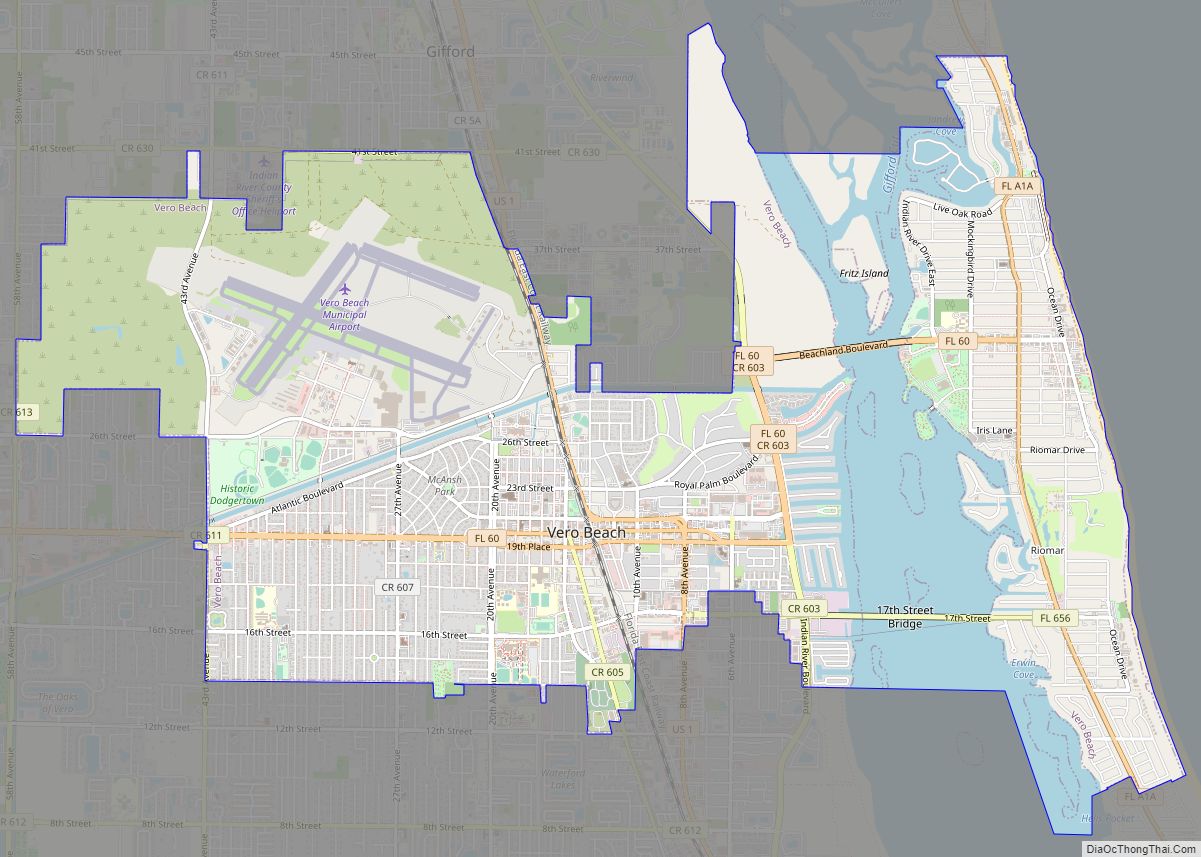
Online Interactive Map
Click on ![]() to view map in "full screen" mode.
to view map in "full screen" mode.
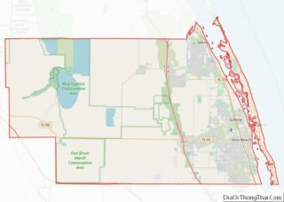
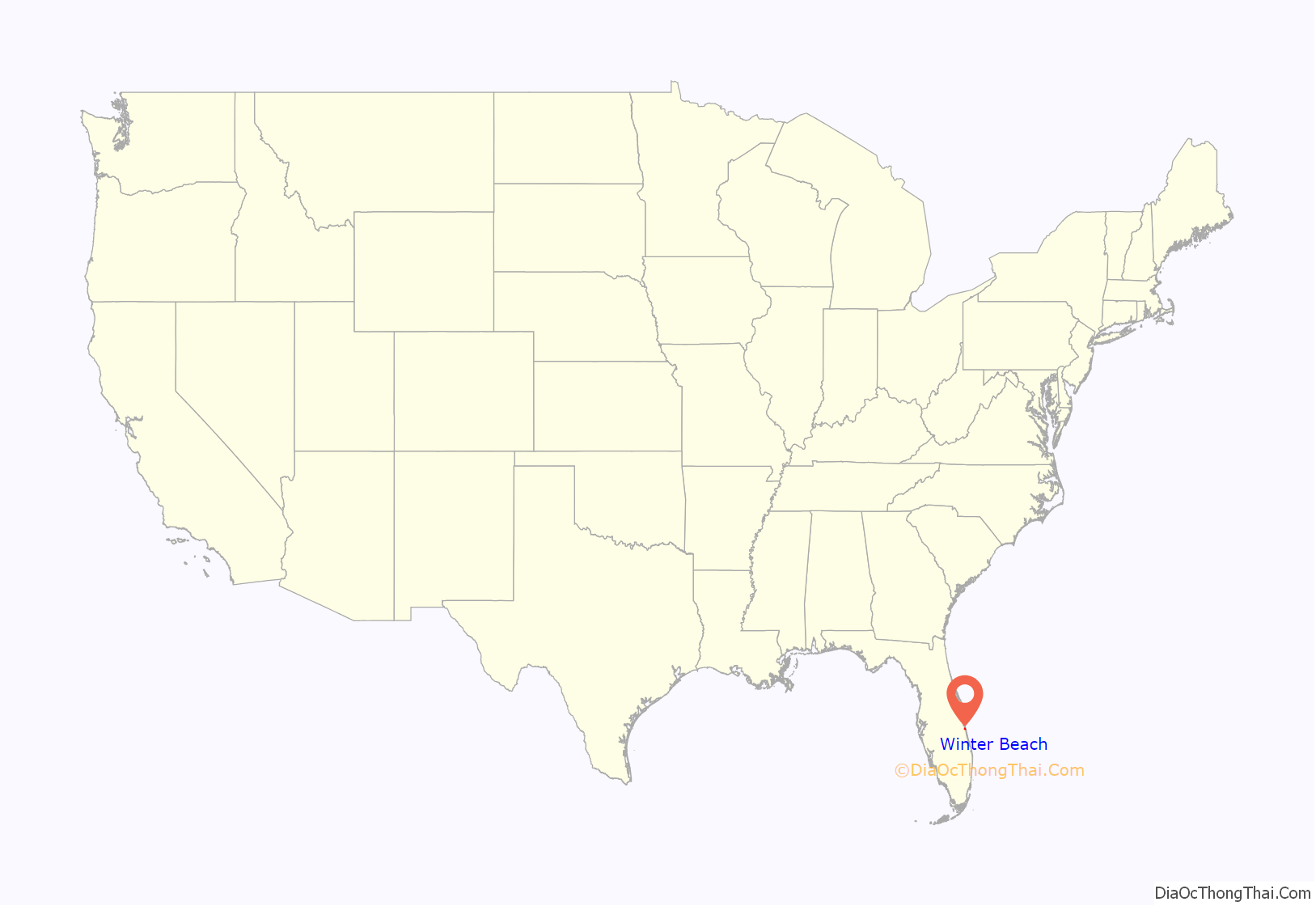
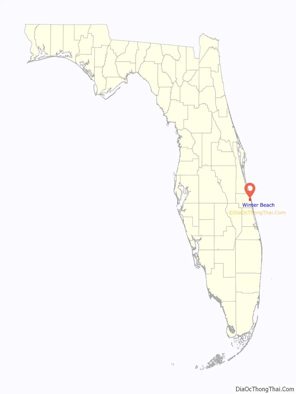
Winter Beach location map. Where is Winter Beach CDP?
History
Winter Beach was originally established as the town of Woodley in the late 1890s. In 1902, the community’s name was changed to Quay, in honor of Senator Matthew S. Quay of Pennsylvania. Senator Quay had introduced a Senate bill to widen and deepen the Intracoastal Waterway, which the community thought would be of benefit. Senator Quay was a winter resident of St. Lucie Village, just north of Fort Pierce, where his old home still stands. In 1922 the name of the community was changed for promotional purposes to Winter Beach, “Where the Sunshine Spends the Winter”. In 1925, Indian River County was established, and Winter Beach almost became the county seat, however the then-town of Vero (now Vero Beach) became an incorporated city and was selected as the county seat. Portions of Winter Beach were still enumerated as Quay in the 1940 census.
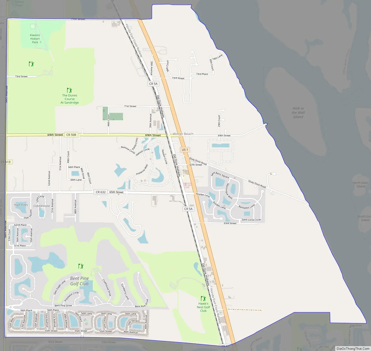
Winter Beach Road Map
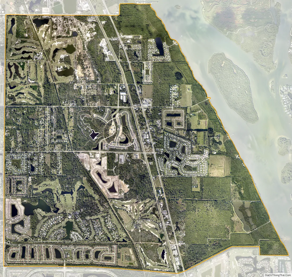
Winter Beach city Satellite Map
Geography
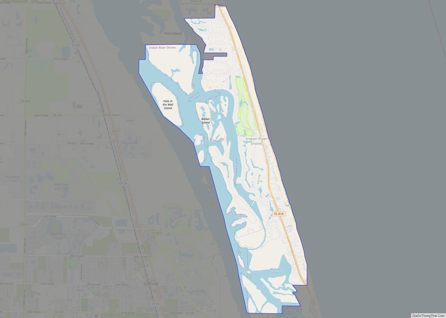
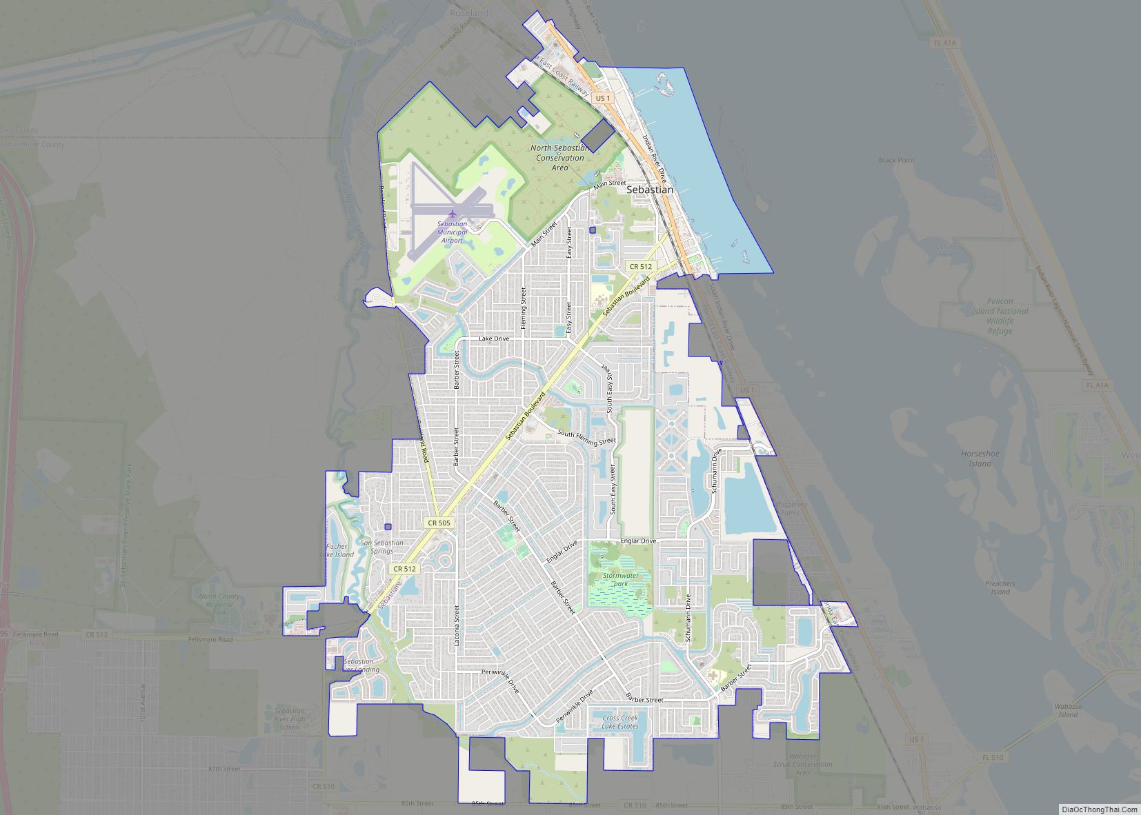
Winter Beach is located in eastern Indian River County at 27°43′N 80°25′W / 27.717°N 80.417°W / 27.717; -80.417 (27.714,-80.424). It is bordered to the north by Wabasso and to the south by Gifford. To the east, across the Indian River, is the town of Indian River Shores on Orchid Island.
U.S. Route 1 passes through the center of Winter Beach, leading north 7 miles (11 km) to Sebastian and south 6 miles (10 km) to Vero Beach, the county seat.
According to the United States Census Bureau, the Winter Beach CDP has a total area of 6.9 square miles (17.9 km), of which 0.02 square miles (0.04 km), or 0.22%, are water.
See also
Map of Florida State and its subdivision:- Alachua
- Baker
- Bay
- Bradford
- Brevard
- Broward
- Calhoun
- Charlotte
- Citrus
- Clay
- Collier
- Columbia
- Desoto
- Dixie
- Duval
- Escambia
- Flagler
- Franklin
- Gadsden
- Gilchrist
- Glades
- Gulf
- Hamilton
- Hardee
- Hendry
- Hernando
- Highlands
- Hillsborough
- Holmes
- Indian River
- Jackson
- Jefferson
- Lafayette
- Lake
- Lee
- Leon
- Levy
- Liberty
- Madison
- Manatee
- Marion
- Martin
- Miami-Dade
- Monroe
- Nassau
- Okaloosa
- Okeechobee
- Orange
- Osceola
- Palm Beach
- Pasco
- Pinellas
- Polk
- Putnam
- Saint Johns
- Saint Lucie
- Santa Rosa
- Sarasota
- Seminole
- Sumter
- Suwannee
- Taylor
- Union
- Volusia
- Wakulla
- Walton
- Washington
- Alabama
- Alaska
- Arizona
- Arkansas
- California
- Colorado
- Connecticut
- Delaware
- District of Columbia
- Florida
- Georgia
- Hawaii
- Idaho
- Illinois
- Indiana
- Iowa
- Kansas
- Kentucky
- Louisiana
- Maine
- Maryland
- Massachusetts
- Michigan
- Minnesota
- Mississippi
- Missouri
- Montana
- Nebraska
- Nevada
- New Hampshire
- New Jersey
- New Mexico
- New York
- North Carolina
- North Dakota
- Ohio
- Oklahoma
- Oregon
- Pennsylvania
- Rhode Island
- South Carolina
- South Dakota
- Tennessee
- Texas
- Utah
- Vermont
- Virginia
- Washington
- West Virginia
- Wisconsin
- Wyoming