Parkersburg is a city in Butler County, Iowa, United States. The population was 2,015 in the 2020 census, an increase from 1,889 in 2000. Parkersburg, although not the county seat, is the highest-populated city in Butler County.
| Name: | Parkersburg city |
|---|---|
| LSAD Code: | 25 |
| LSAD Description: | city (suffix) |
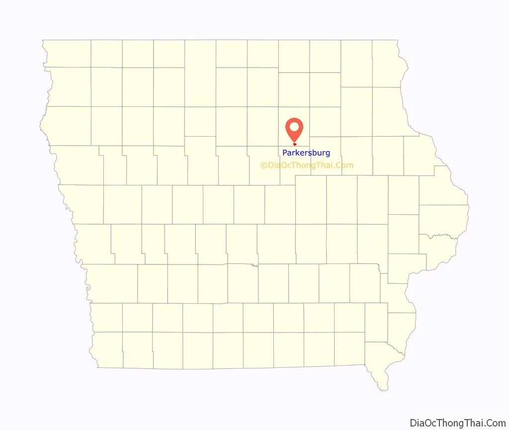
| State: | Iowa |
| County: | Butler County |
| Incorporated: | December 7, 1874 |
| Elevation: | 971 ft (296 m) |
| Total Area: | 1.44 sq mi (3.74 km²) |
| Land Area: | 1.44 sq mi (3.74 km²) |
| Water Area: | 0.00 sq mi (0.00 km²) |
| Total Population: | 2,015 |
| Population Density: | 1,396.40/sq mi (539.21/km²) |
| ZIP code: | 50665 |
| Area code: | 319 |
| FIPS code: | 1961590 |
| GNISfeature ID: | 0460029 |
| Website: | www.parkersburgia.com |
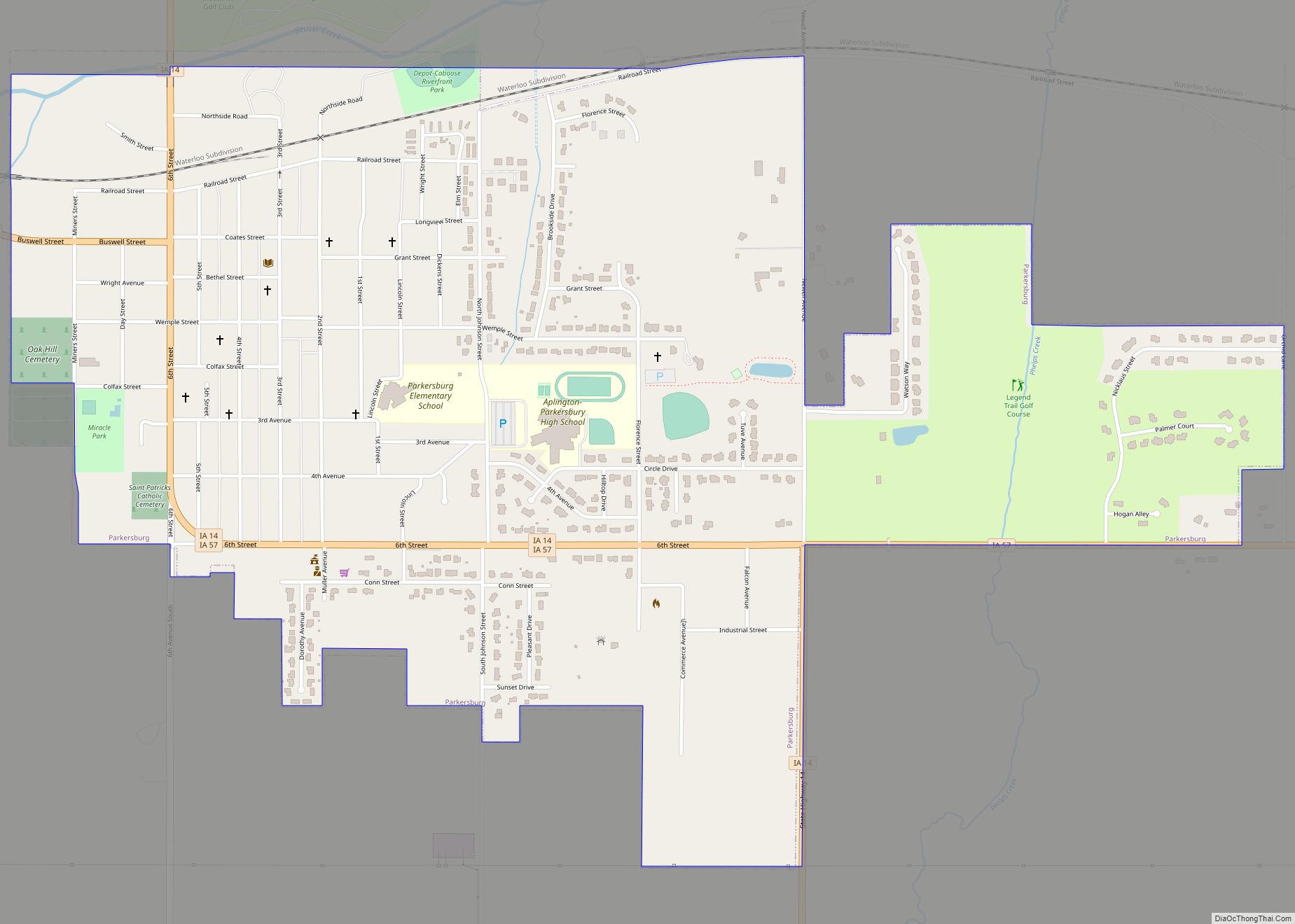
Online Interactive Map
Click on ![]() to view map in "full screen" mode.
to view map in "full screen" mode.
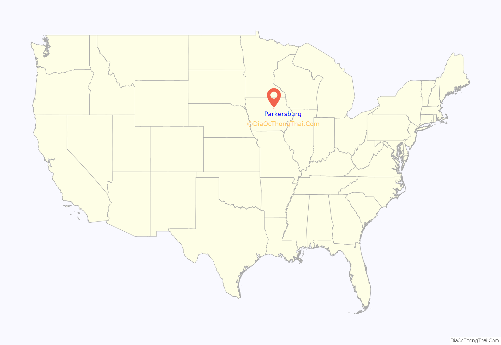
Parkersburg location map. Where is Parkersburg city?
History
The first known settlers of the Parkersburg area were John Connell and his son William, who built a log cabin in 1857. A railroad company surveyed the area in the early 1860s. A depot was erected in 1865 and two railroads, the Illinois Central and the Chicago North Western, were built through the town. The town was soon platted and recorded and given the name of “Parkersburg” in honor of Pascal P. Parker, a prominent settler and the town’s first postmaster. The first major business was a hotel built by Thomas Williams, called The Williams House. Later, it became known as the Commercial House. Parkersburg was incorporated on December 7, 1874.
The first “School House” was built in the 1860s. Parkersburg became an independent school district in the spring of 1871. A new school was built in 1872. This building burned beyond repair on October 9, 1893, in the “great fire of Parkersburg”, which also destroyed most of the business district. In 1894 a modern, three-story, brick structure was built. In 1930, the school added an auditorium and gymnasium.
The first electric power was furnished by the Parkersburg Electric Light & Power Company, composed of local citizens who built the plant in 1898 at a cost of $10,000. Parkersburg’s roads were paved circa 1920. The first water tower only had a capacity of 40,000 gallons.
2008 tornado
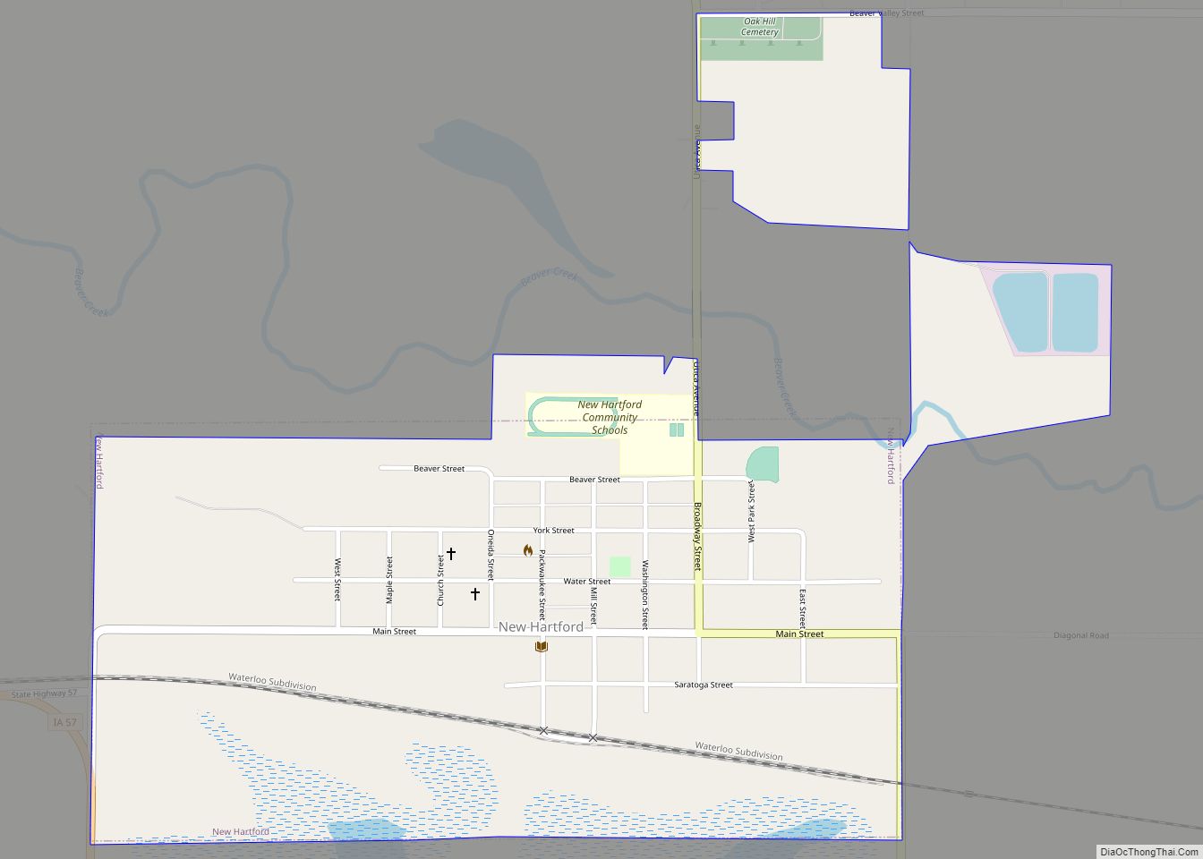
Seven people died in Parkersburg and two in rural New Hartford from injuries sustained when a confirmed EF5 tornado struck the region on May 25, 2008. At least 70 individuals were injured and transported to nearby hospitals. The south side of Parkersburg was completely destroyed and turned into rubble. Over 400 homes were destroyed or damaged, the roof was taken off the high school and destroyed, and the elementary school was damaged as well. The surviving residents were evacuated while the rescue operation was in progress. Today, Parkersburg is considered to be a model of disaster recovery and resiliency in the aftermath of a natural disaster.
The local water utility called the Iowa Rural Water Association for assistance after the city went on a boiled water notice. Utility infrastructure was left largely intact, but the tornado and clean-up efforts damaged the connections in numerous homes.
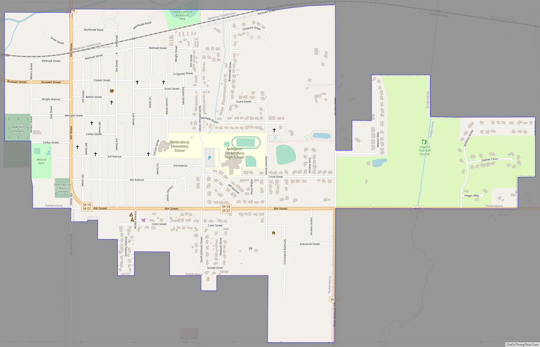
Parkersburg Road Map
Parkersburg city Satellite Map
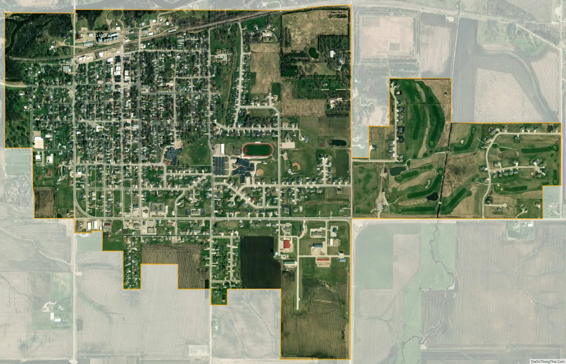
Geography
Parkersburg’s longitude and latitude coordinates in decimal form are 42.574419, -92.786729.
According to the United States Census Bureau, the city has a total area of 1.42 square miles (3.68 km), all land.
See also
Map of Iowa State and its subdivision:- Adair
- Adams
- Allamakee
- Appanoose
- Audubon
- Benton
- Black Hawk
- Boone
- Bremer
- Buchanan
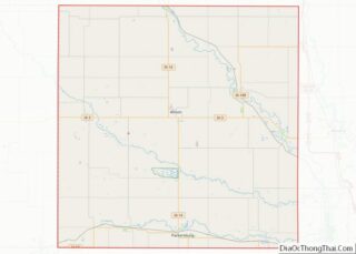
- Buena Vista
- Butler
- Calhoun
- Carroll
- Cass
- Cedar
- Cerro Gordo
- Cherokee
- Chickasaw
- Clarke
- Clay
- Clayton
- Clinton
- Crawford
- Dallas
- Davis
- Decatur
- Delaware
- Des Moines
- Dickinson
- Dubuque
- Emmet
- Fayette
- Floyd
- Franklin
- Fremont
- Greene
- Grundy
- Guthrie
- Hamilton
- Hancock
- Hardin
- Harrison
- Henry
- Howard
- Humboldt
- Ida
- Iowa
- Jackson
- Jasper
- Jefferson
- Johnson
- Jones
- Keokuk
- Kossuth
- Lee
- Linn
- Louisa
- Lucas
- Lyon
- Madison
- Mahaska
- Marion
- Marshall
- Mills
- Mitchell
- Monona
- Monroe
- Montgomery
- Muscatine
- O'Brien
- Osceola
- Page
- Palo Alto
- Plymouth
- Pocahontas
- Polk
- Pottawattamie
- Poweshiek
- Ringgold
- Sac
- Scott
- Shelby
- Sioux
- Story
- Tama
- Taylor
- Union
- Van Buren
- Wapello
- Warren
- Washington
- Wayne
- Webster
- Winnebago
- Winneshiek
- Woodbury
- Worth
- Wright
- Alabama
- Alaska
- Arizona
- Arkansas
- California
- Colorado
- Connecticut
- Delaware
- District of Columbia
- Florida
- Georgia
- Hawaii
- Idaho
- Illinois
- Indiana
- Iowa
- Kansas
- Kentucky
- Louisiana
- Maine
- Maryland
- Massachusetts
- Michigan
- Minnesota
- Mississippi
- Missouri
- Montana
- Nebraska
- Nevada
- New Hampshire
- New Jersey
- New Mexico
- New York
- North Carolina
- North Dakota
- Ohio
- Oklahoma
- Oregon
- Pennsylvania
- Rhode Island
- South Carolina
- South Dakota
- Tennessee
- Texas
- Utah
- Vermont
- Virginia
- Washington
- West Virginia
- Wisconsin
- Wyoming