Shenandoah is a city in Page and Fremont counties in Iowa, United States. The population was 4,925 at the time of the 2020 U.S. Census. Once referred to as the “seed and nursery center of the world,” Shenandoah is the home to Earl May Seed Company and the radio station KMA, founded by Earl E. May. The early live radio stations gave many performers their start, including The Everly Brothers and Charlie Haden.
| Name: | Shenandoah city |
|---|---|
| LSAD Code: | 25 |
| LSAD Description: | city (suffix) |
| State: | Iowa |
| County: | Fremont County, Page County |
| Elevation: | 981 ft (299 m) |
| Total Area: | 3.73 sq mi (9.67 km²) |
| Land Area: | 3.73 sq mi (9.67 km²) |
| Water Area: | 0.00 sq mi (0.00 km²) |
| Total Population: | 4,925 |
| Population Density: | 1,319.31/sq mi (509.44/km²) |
| ZIP code: | 51601-51603 |
| Area code: | 712 |
| FIPS code: | 1972525 |
| GNISfeature ID: | 0461566 |
| Website: | www.shenandoahiowa.net |
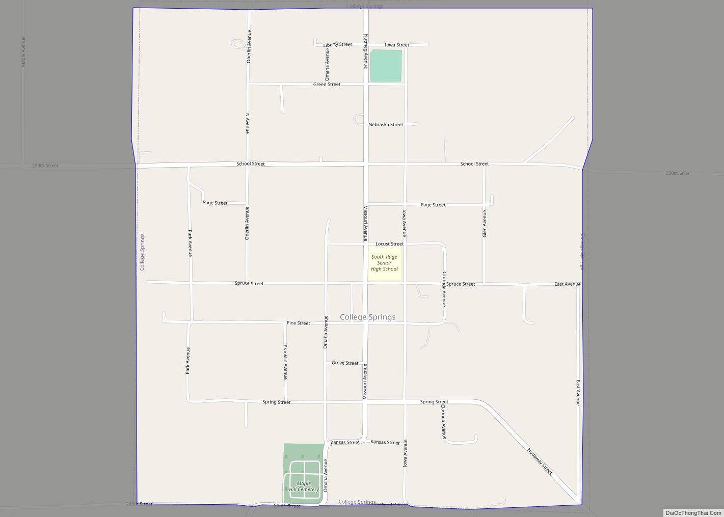
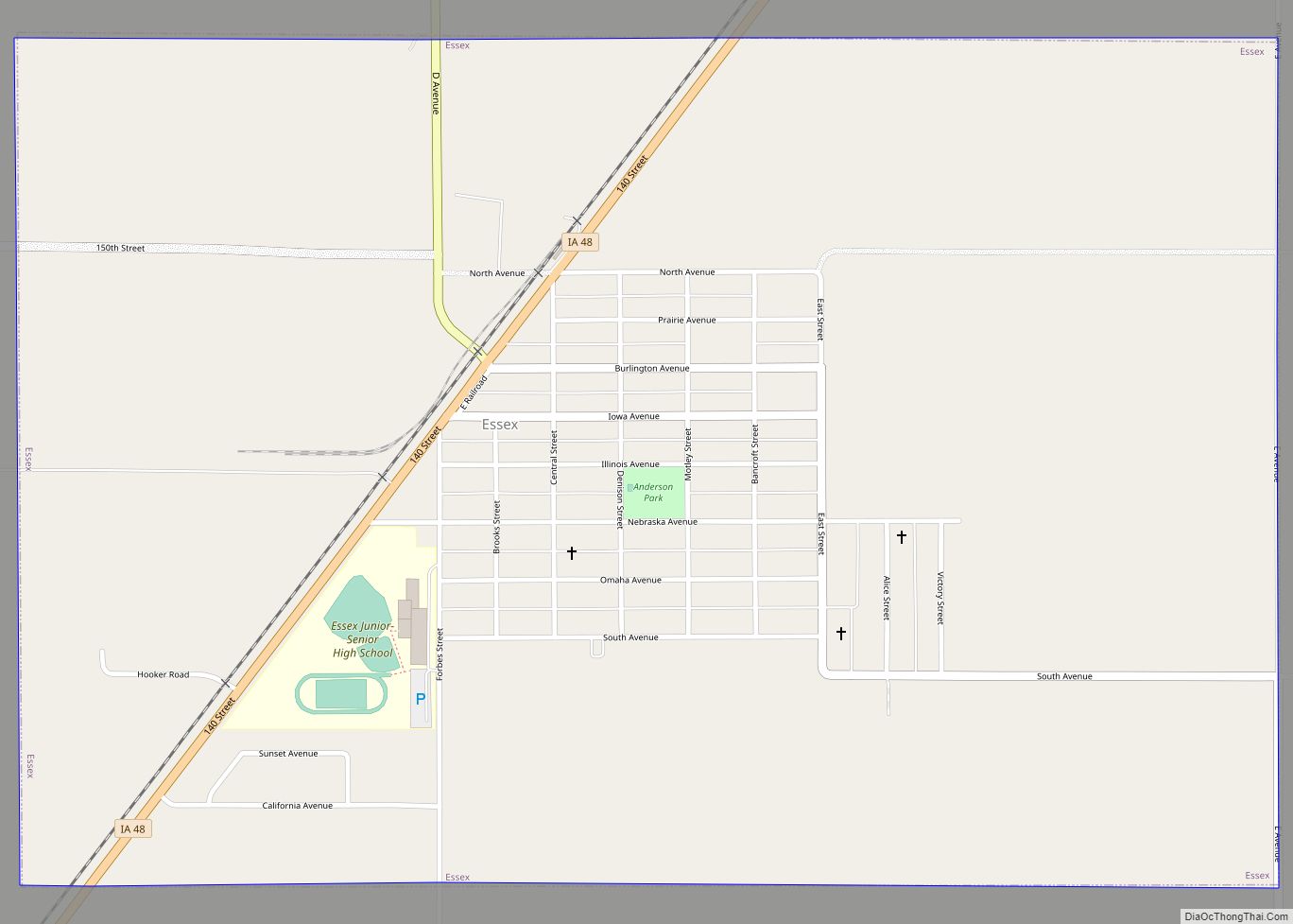
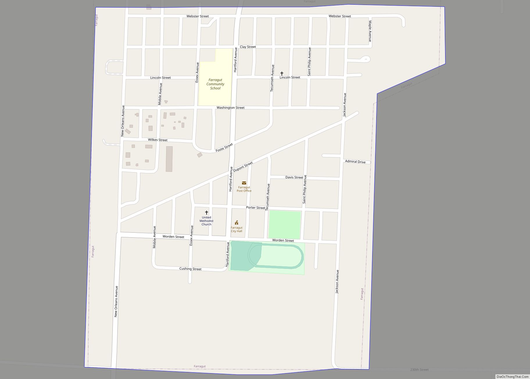
Online Interactive Map
Click on ![]() to view map in "full screen" mode.
to view map in "full screen" mode.
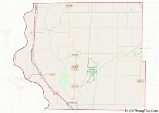
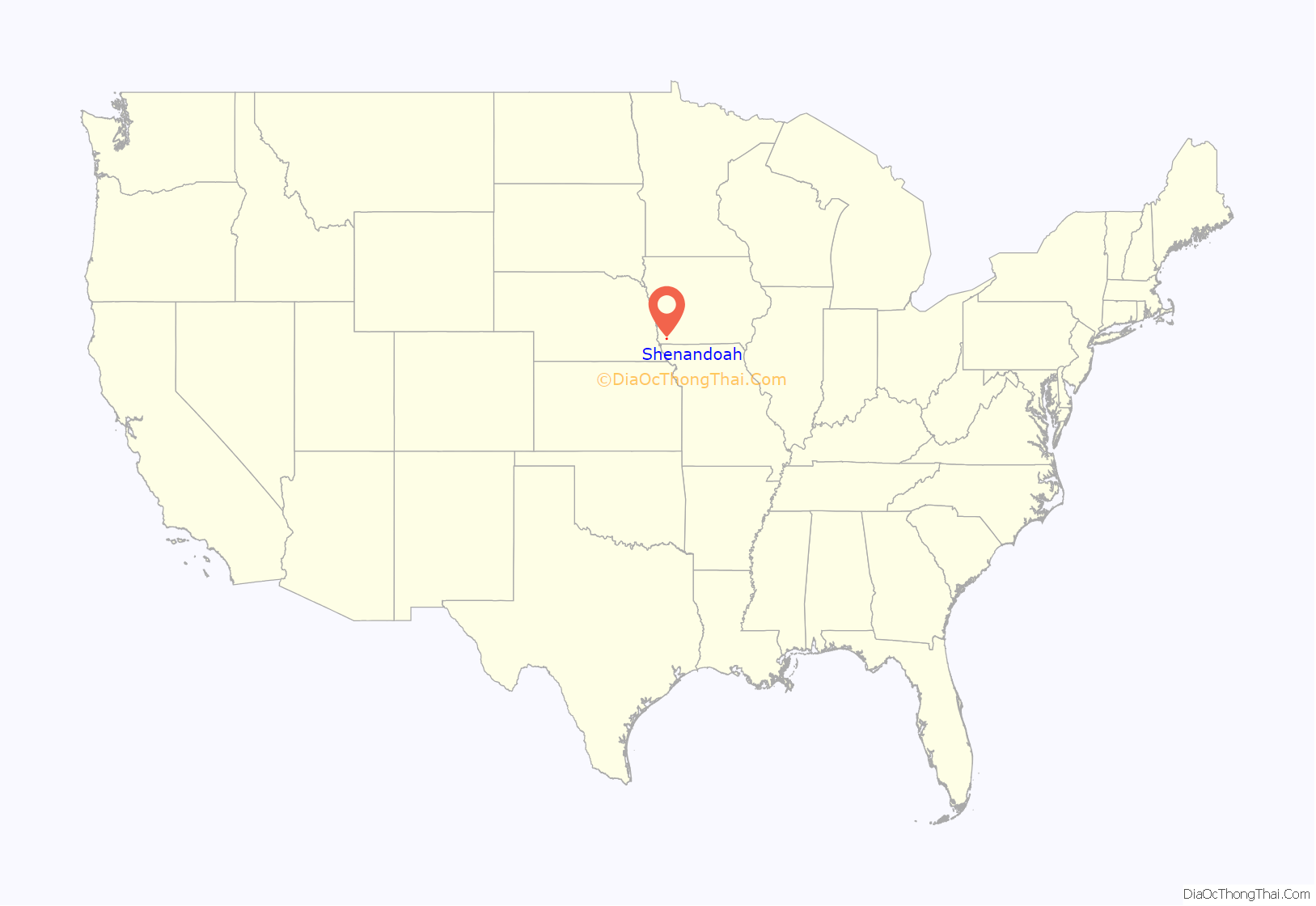
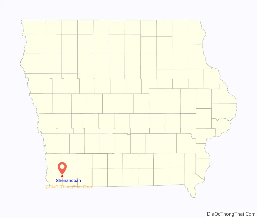
Shenandoah location map. Where is Shenandoah city?
History
Shenandoah, originally known as Fair Oaks, was platted in 1870, shortly after the arrival of the Chicago, Burlington and Quincy Railroad into the neighborhood. Its name is derived from the local valley’s resemblance to the Shenandoah Valley, in Virginia.
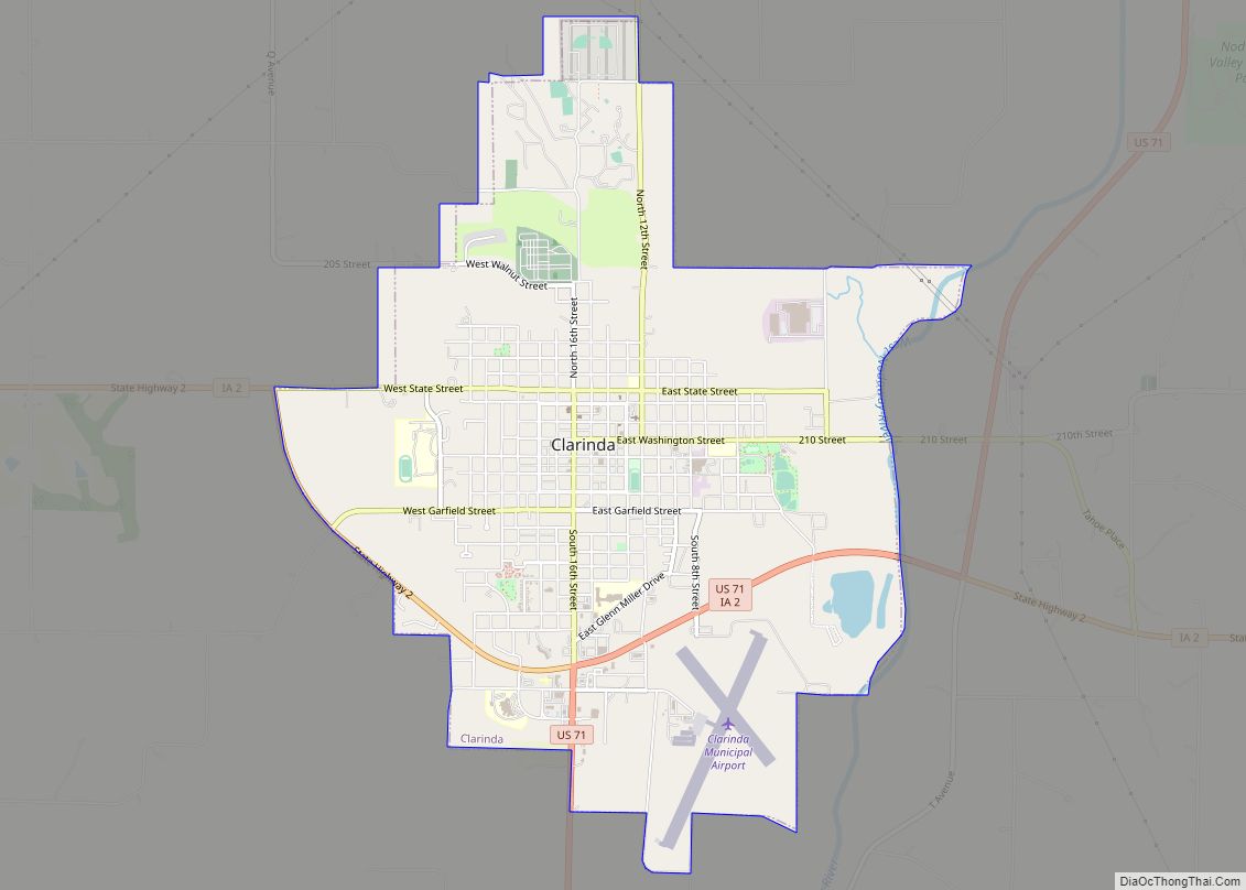
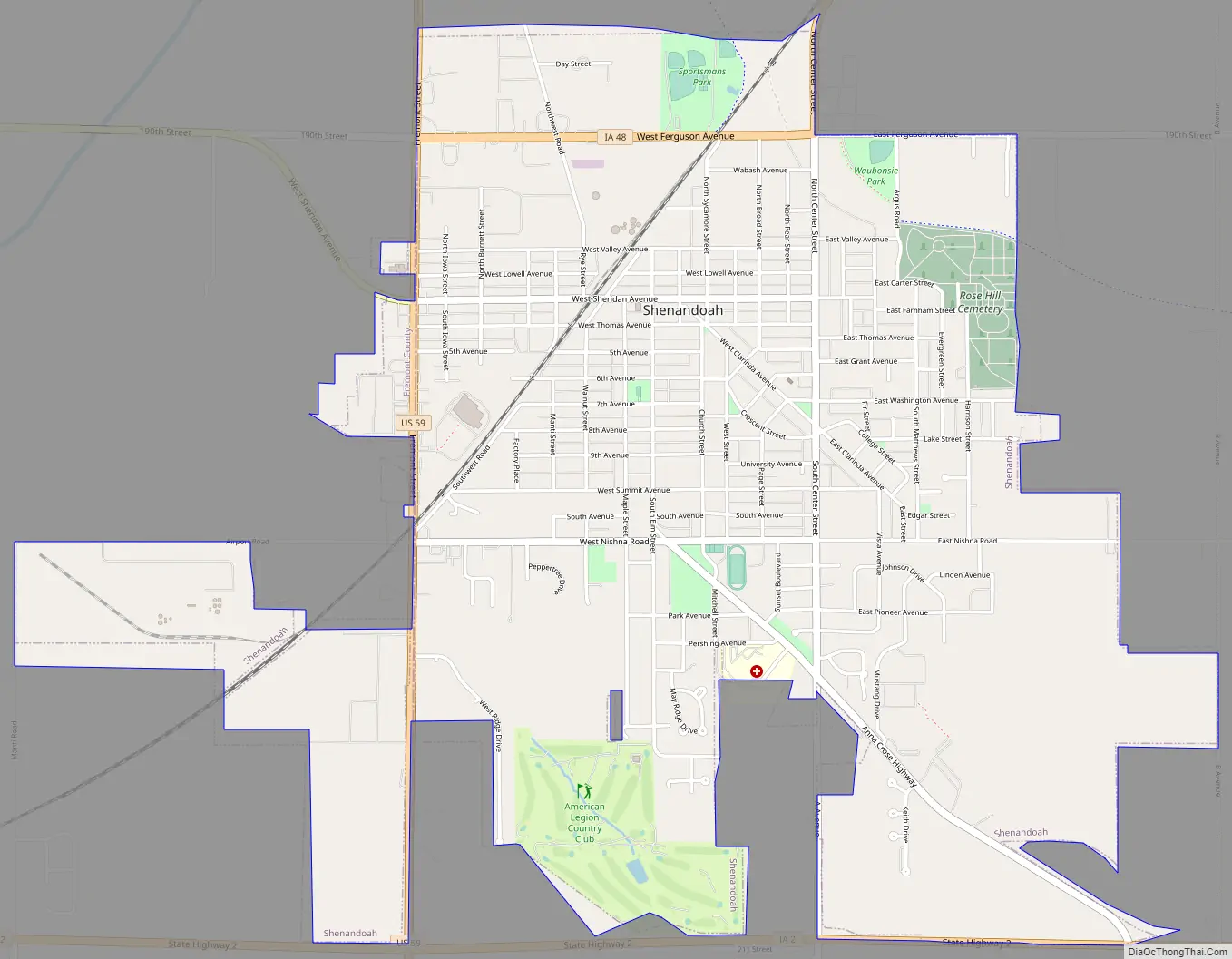
Shenandoah Road Map
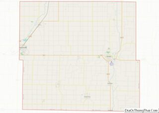
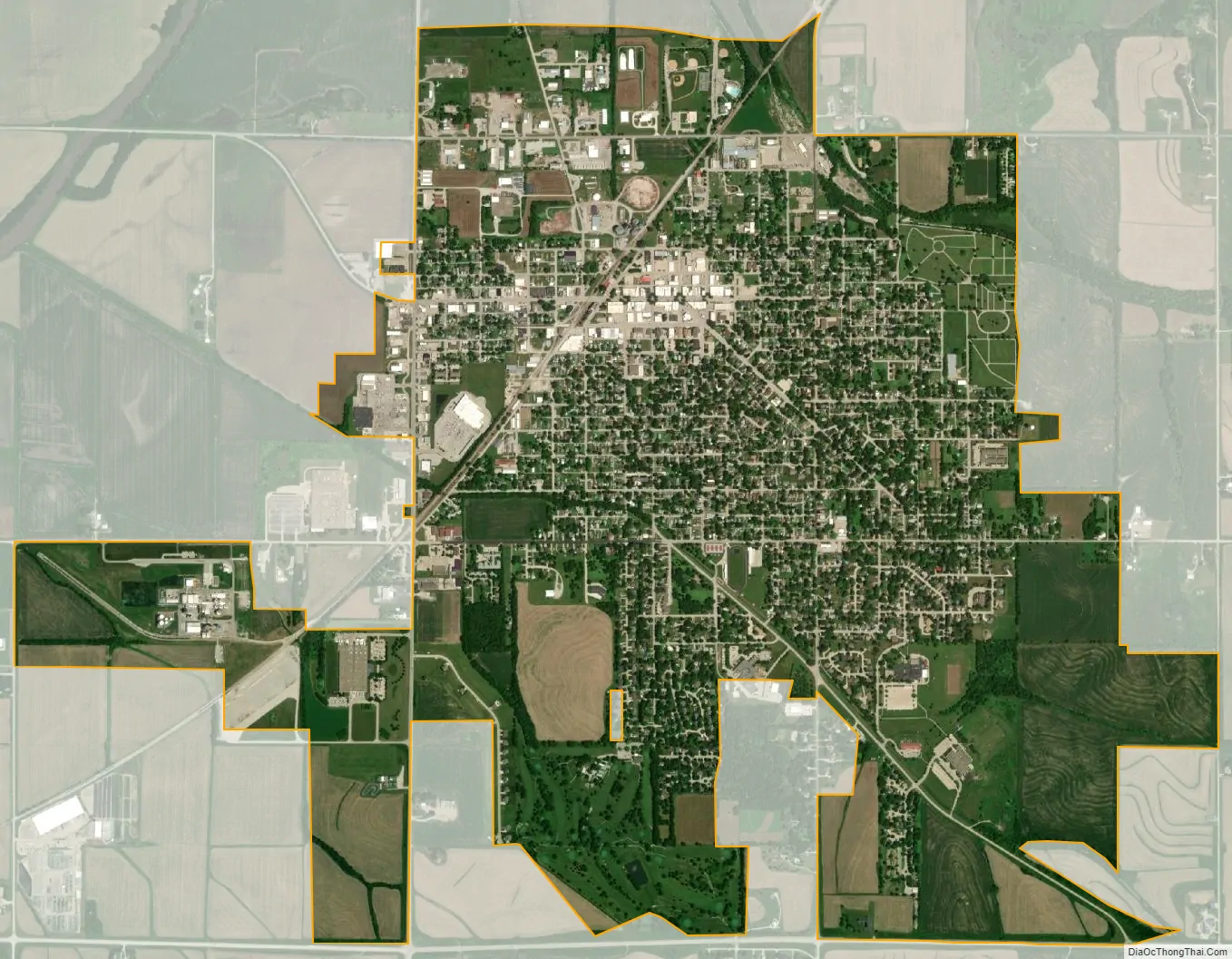
Shenandoah city Satellite Map
Geography
Shenandoah is located at 40°45′44″N 95°22′15″W / 40.76222°N 95.37083°W / 40.76222; -95.37083 (40.762251, -95.370945) along Fourmile Creek near its confluence with the East Nishnabotna River.
According to the United States Census Bureau, the city has a total area of 3.75 square miles (9.71 km), all of it land.
Climate
See also
Map of Iowa State and its subdivision:- Adair
- Adams
- Allamakee
- Appanoose
- Audubon
- Benton
- Black Hawk
- Boone
- Bremer
- Buchanan
- Buena Vista
- Butler
- Calhoun
- Carroll
- Cass
- Cedar
- Cerro Gordo
- Cherokee
- Chickasaw
- Clarke
- Clay
- Clayton
- Clinton
- Crawford
- Dallas
- Davis
- Decatur
- Delaware
- Des Moines
- Dickinson
- Dubuque
- Emmet
- Fayette
- Floyd
- Franklin
- Fremont
- Greene
- Grundy
- Guthrie
- Hamilton
- Hancock
- Hardin
- Harrison
- Henry
- Howard
- Humboldt
- Ida
- Iowa
- Jackson
- Jasper
- Jefferson
- Johnson
- Jones
- Keokuk
- Kossuth
- Lee
- Linn
- Louisa
- Lucas
- Lyon
- Madison
- Mahaska
- Marion
- Marshall
- Mills
- Mitchell
- Monona
- Monroe
- Montgomery
- Muscatine
- O'Brien
- Osceola
- Page
- Palo Alto
- Plymouth
- Pocahontas
- Polk
- Pottawattamie
- Poweshiek
- Ringgold
- Sac
- Scott
- Shelby
- Sioux
- Story
- Tama
- Taylor
- Union
- Van Buren
- Wapello
- Warren
- Washington
- Wayne
- Webster
- Winnebago
- Winneshiek
- Woodbury
- Worth
- Wright
- Alabama
- Alaska
- Arizona
- Arkansas
- California
- Colorado
- Connecticut
- Delaware
- District of Columbia
- Florida
- Georgia
- Hawaii
- Idaho
- Illinois
- Indiana
- Iowa
- Kansas
- Kentucky
- Louisiana
- Maine
- Maryland
- Massachusetts
- Michigan
- Minnesota
- Mississippi
- Missouri
- Montana
- Nebraska
- Nevada
- New Hampshire
- New Jersey
- New Mexico
- New York
- North Carolina
- North Dakota
- Ohio
- Oklahoma
- Oregon
- Pennsylvania
- Rhode Island
- South Carolina
- South Dakota
- Tennessee
- Texas
- Utah
- Vermont
- Virginia
- Washington
- West Virginia
- Wisconsin
- Wyoming