Covington is a city in, and the parish seat of, St. Tammany Parish, Louisiana, United States. The population was 11,564 at the 2020 United States census. It is located at a fork of the Bogue Falaya and the Tchefuncte River. Covington is part of the New Orleans–Metairie–Kenner metropolitan statistical area. Covington has played a large role in movie making over the past 20 years, with over 30 films.
| Name: | Covington city |
|---|---|
| LSAD Code: | 25 |
| LSAD Description: | city (suffix) |
| State: | Louisiana |
| County: | St. Tammany Parish |
| Founded: | 1813 |
| Elevation: | 26 ft (8 m) |
| Total Area: | 8.15 sq mi (21.12 km²) |
| Land Area: | 8.02 sq mi (20.77 km²) |
| Water Area: | 0.13 sq mi (0.35 km²) |
| Total Population: | 11,564 |
| Population Density: | 1,441.90/sq mi (556.74/km²) |
| ZIP code: | 70433, 70434, 70435 |
| Area code: | 985 |
| FIPS code: | 2218125 |
| Website: | http://www.covla.com |
Online Interactive Map
Click on ![]() to view map in "full screen" mode.
to view map in "full screen" mode.
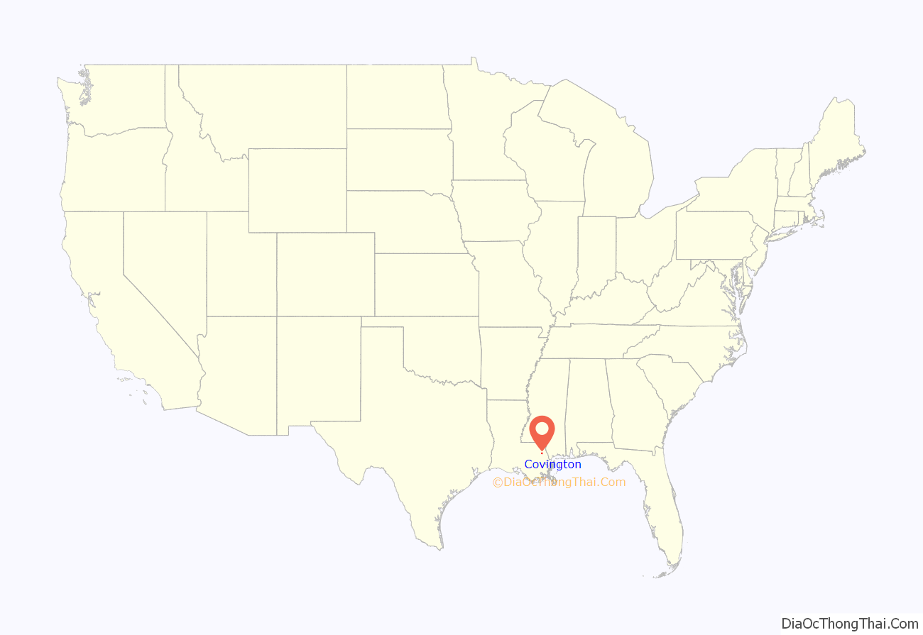
Covington location map. Where is Covington city?
History
The earliest known settlement by Europeans in the area was in 1800 by Jacques Drieux, during the British West Florida period.
In 1813, John Wharton Collins established a town with the name of Wharton. He is buried on the corner of the city cemetery directly across from the Covington Police Department. On March 11, 1816, the town of Wharton was renamed to that of Covington. There are conflicting stories about how the city came to be named Covington. Many historians believe the city was renamed for General Leonard Covington, a hero of the War of 1812. Covington was killed late in 1813, having established his home in the Mississippi Territory.
Local historian Judge Steve Ellis floats another theory centered on the suggestion by Jesse Jones, a local attorney, that the city be named in honor of the Blue Grass whiskey—made in Covington, Kentucky—enjoyed by town officials. In any case, Leonard Covington is the namesake of both towns.
Originally, commerce was brought to Covington via boat up the Bogue Falaya River, which used the Tchefuncte River as a means of passage to and from Lake Pontchartrain. Then in 1888, the railroad came to town. Much of the former railroad right-of-way is now occupied by the Tammany Trace, a thirty-one mile bike trail running east and west through several communities on the north side of Lake Pontchartrain.
In the late 20th century, with the expansion of Louisiana’s road system, many people who worked in New Orleans started living in Covington, commuting to work via the Lake Pontchartrain Causeway. With the expansion of the interstate system, Covington experienced a boom of growth. Many people moved to the Northshore for more affordable housing, larger lot size and a small town feeling. This is considered to be associated with white flight out of New Orleans, though the Jefferson Parish area saw the most expansion during that period.
Hurricane Katrina
Hurricane Katrina made landfall near Slidell, but Covington was sufficiently elevated to escape the massive storm surge; however, the city suffered devastating wind damage. Following the storm, Covington, along with the rest of the north shore of Lake Pontchartrain, experienced a population boom as a result of many former inhabitants of New Orleans, its south shore suburbs, and its west bank suburbs being forced to move out of their storm-ravaged homes. The city’s population continues to grow.
Covington Road Map
Covington city Satellite Map
Geography
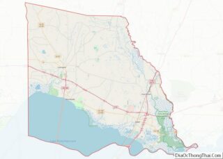
According to the United States Census Bureau, the city has a total area of 8.2 square miles (21.2 km), of which 8.0 square miles (20.7 km) is land and 0.23 square miles (0.6 km), or 2.60%, is water.
Neighborhoods
The city is divided into many subdivisions. Notable ones include the communities of: West 30s, West 20s, Ozone, River Forest, Covington Point, Downtown Covington, as well as Barkley Parc./
Covington is rich in native plant species because of its diversity in habitats. Native plants include: Virginia Willow, century plant, elderberry, blueberry, mulberry and huckleberry
See also
Map of Louisiana State and its subdivision:- Acadia
- Allen
- Ascension
- Assumption
- Avoyelles
- Beauregard
- Bienville
- Bossier
- Caddo
- Calcasieu
- Caldwell
- Cameron
- Catahoula
- Claiborne
- Concordia
- De Soto
- East Baton Rouge
- East Carroll
- East Feliciana
- Evangeline
- Franklin
- Grant
- Iberia
- Iberville
- Jackson
- Jefferson
- Jefferson Davis
- La Salle
- Lafayette
- Lafourche
- Lincoln
- Livingston
- Madison
- Morehouse
- Natchitoches
- Orleans
- Ouachita
- Plaquemines
- Pointe Coupee
- Rapides
- Red River
- Richland
- Sabine
- Saint Bernard
- Saint Charles
- Saint Helena
- Saint James
- Saint John the Baptist
- Saint Landry
- Saint Martin
- Saint Mary
- Saint Tammany
- Tangipahoa
- Tensas
- Terrebonne
- Union
- Vermilion
- Vernon
- Washington
- Webster
- West Baton Rouge
- West Carroll
- West Feliciana
- Winn
- Alabama
- Alaska
- Arizona
- Arkansas
- California
- Colorado
- Connecticut
- Delaware
- District of Columbia
- Florida
- Georgia
- Hawaii
- Idaho
- Illinois
- Indiana
- Iowa
- Kansas
- Kentucky
- Louisiana
- Maine
- Maryland
- Massachusetts
- Michigan
- Minnesota
- Mississippi
- Missouri
- Montana
- Nebraska
- Nevada
- New Hampshire
- New Jersey
- New Mexico
- New York
- North Carolina
- North Dakota
- Ohio
- Oklahoma
- Oregon
- Pennsylvania
- Rhode Island
- South Carolina
- South Dakota
- Tennessee
- Texas
- Utah
- Vermont
- Virginia
- Washington
- West Virginia
- Wisconsin
- Wyoming
