Marrero is a census-designated place (CDP) in Jefferson Parish, Louisiana, United States. Marrero is on the south side (referred to as the “West Bank”) of the Mississippi River, within the New Orleans–Metairie–Kenner metropolitan statistical area. The population was 32,382 at the 2020 U.S. census.
| Name: | Marrero CDP |
|---|---|
| LSAD Code: | 57 |
| LSAD Description: | CDP (suffix) |
| State: | Louisiana |
| County: | Jefferson Parish |
| Total Area: | 7.79 sq mi (20.16 km²) |
| Land Area: | 7.20 sq mi (18.65 km²) |
| Water Area: | 0.59 sq mi (1.52 km²) |
| Total Population: | 32,382 |
| Population Density: | 4,497.50/sq mi (1,736.61/km²) |
| Area code: | 504 |
| FIPS code: | 2248785 |
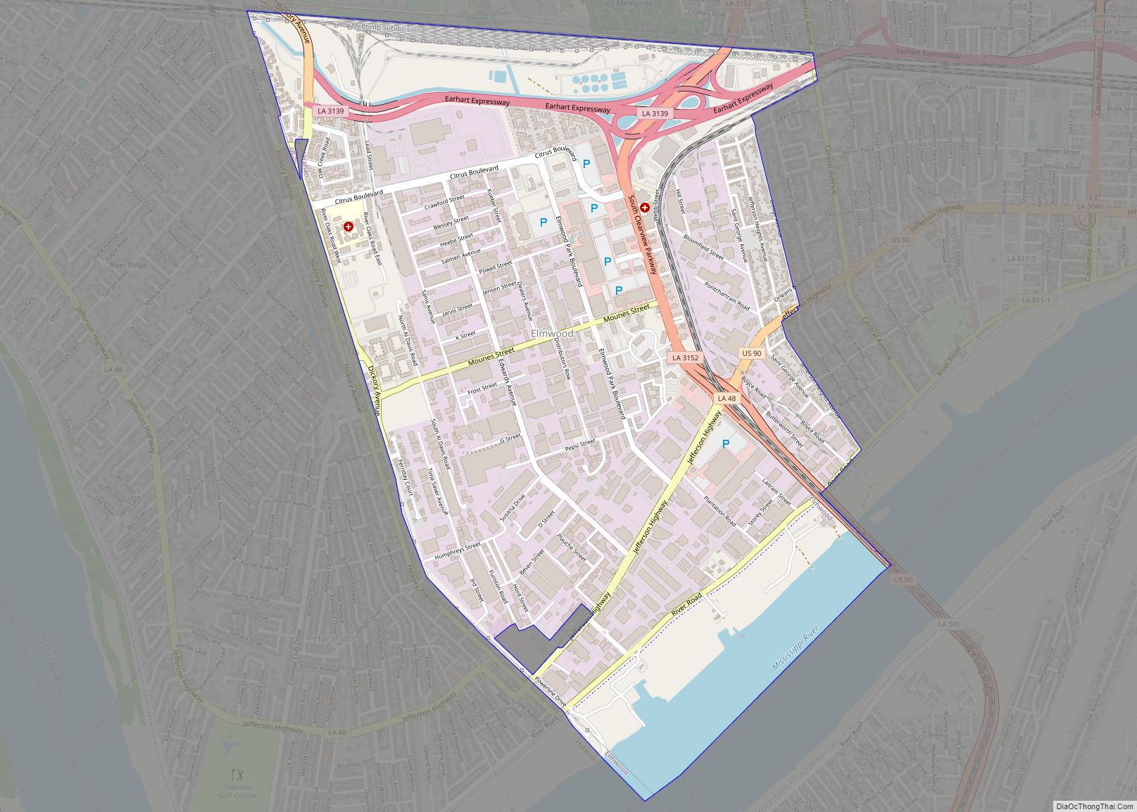
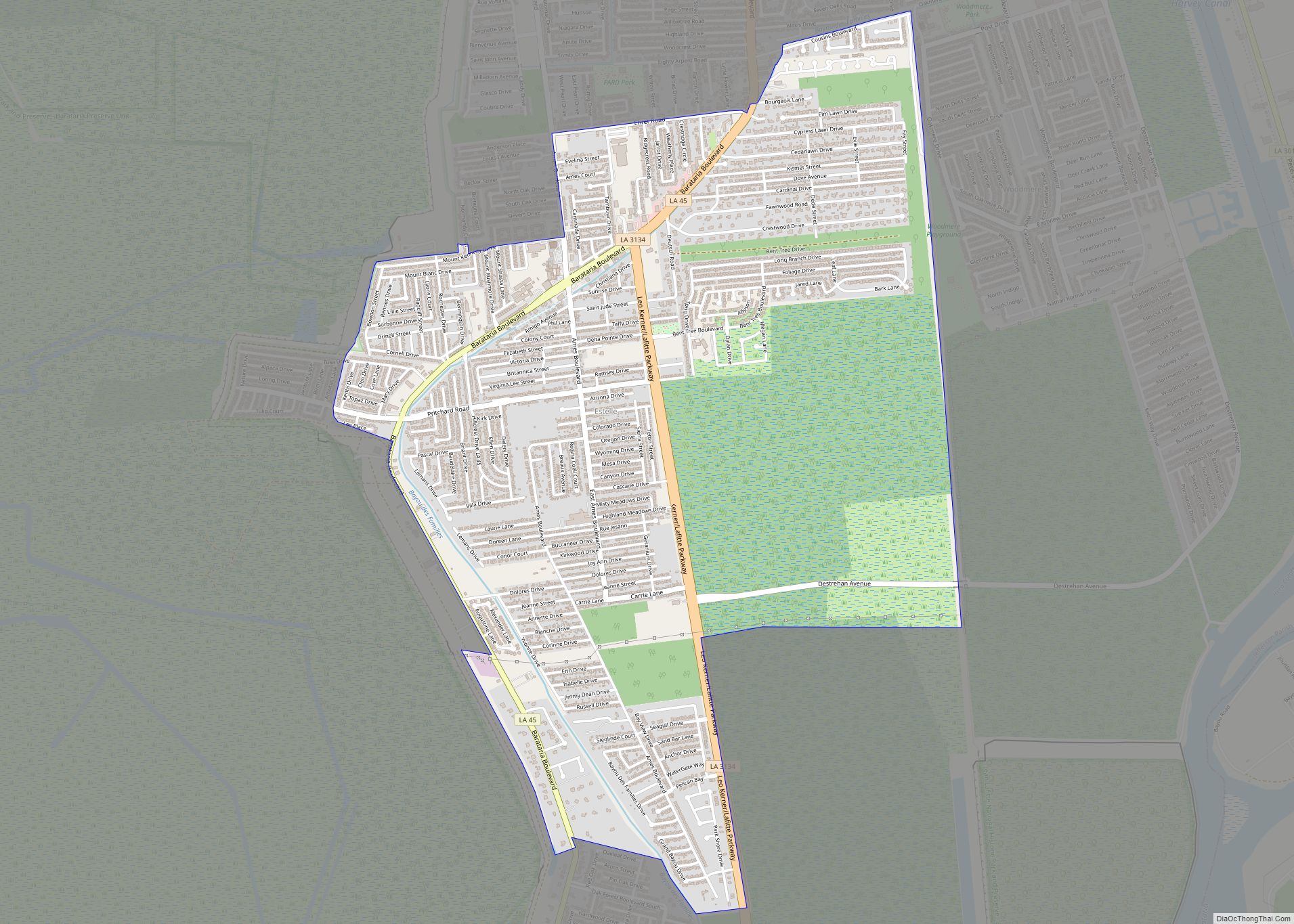
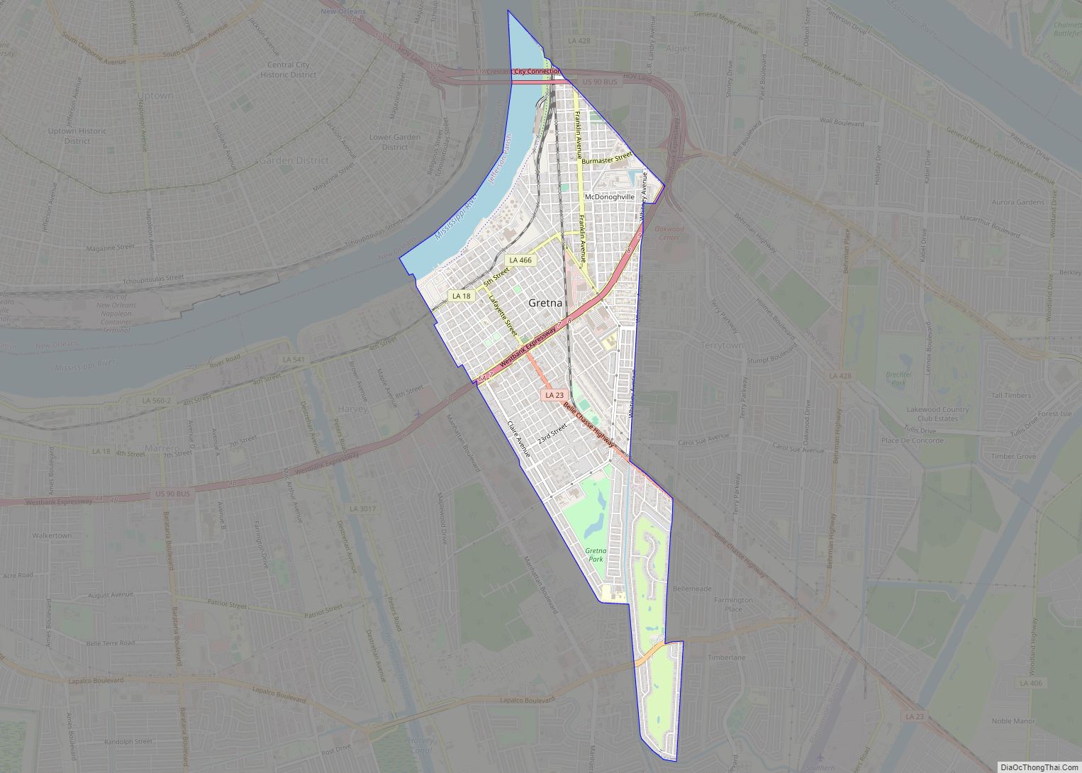
Online Interactive Map
Click on ![]() to view map in "full screen" mode.
to view map in "full screen" mode.
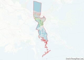
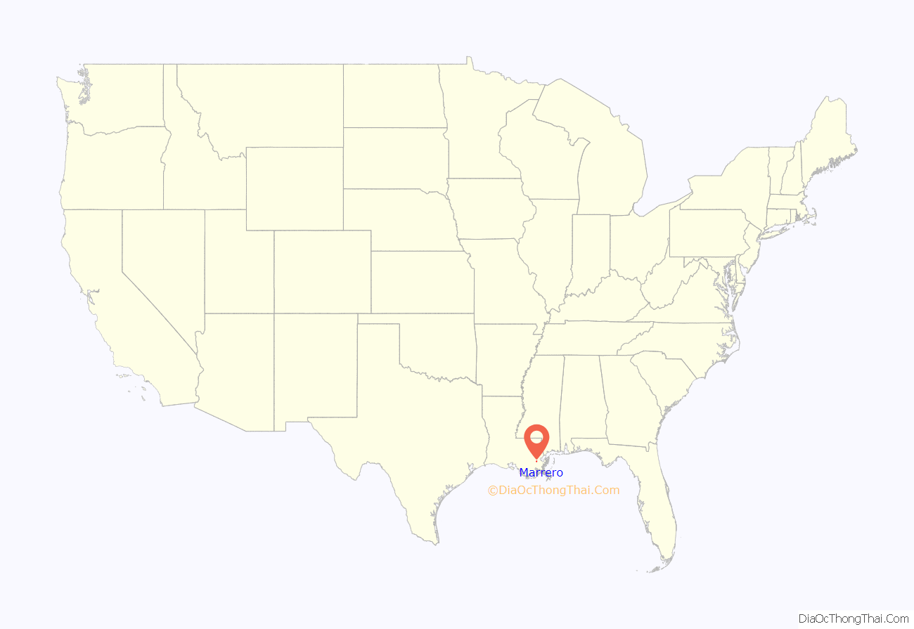
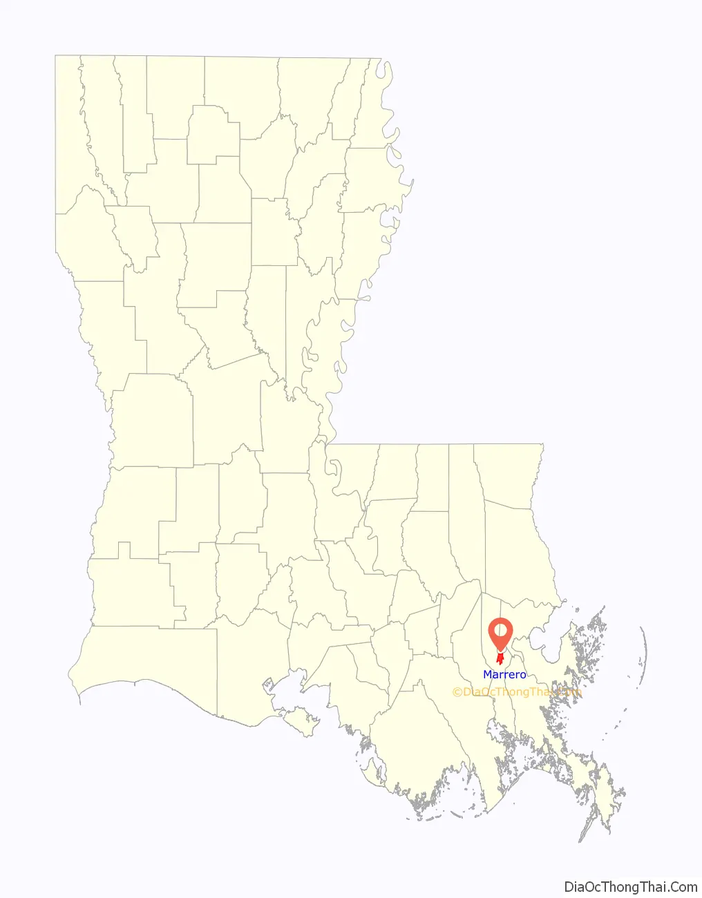
Marrero location map. Where is Marrero CDP?
History
Marrero was named in honor of the Louisiana politician and founder of Marrero Land Company, Louis H. Marrero. The area was originally referred to and shown on maps as “Amesville”, after the Boston businessman Oakes Ames, who purchased much of the land following the Civil War. In February 1916, the U.S. Postmaster officially changed the name of the Post Office to “Marrero”.
Louis Herman Marrero was born in Adams County, Mississippi, on July 17, 1847. When he was a child his family moved to St. Bernard Parish, Louisiana. During his school years at Jackson, Louisiana, the Civil War began, and Marrero joined Captain Scott’s Command, later known as the 25th Louisiana Regiment.
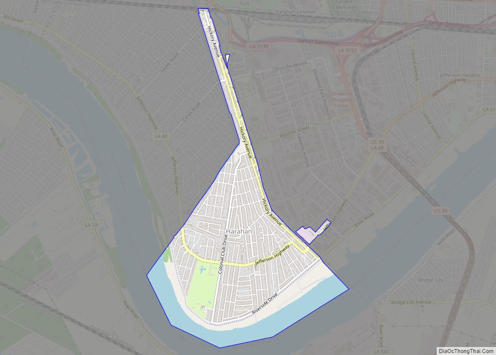
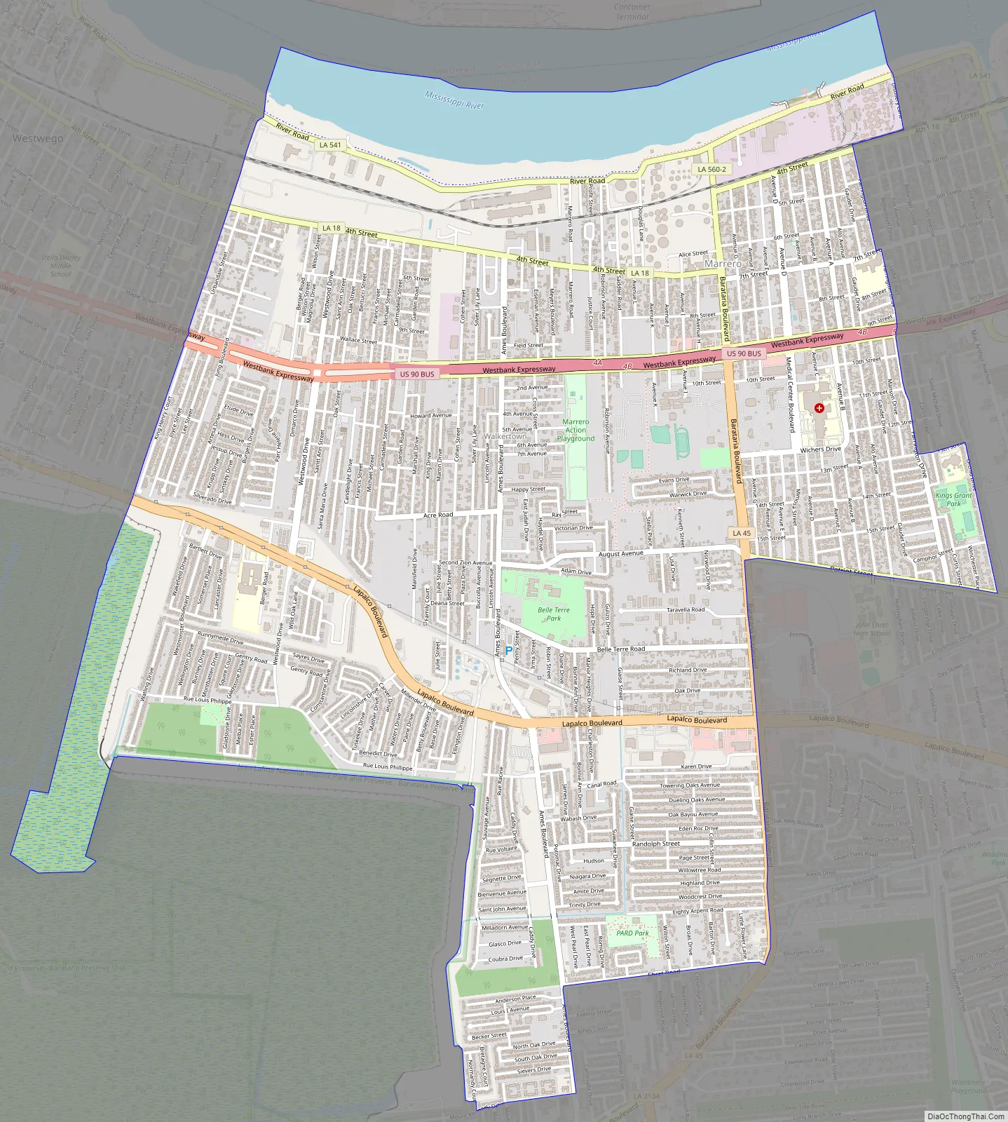
Marrero Road Map
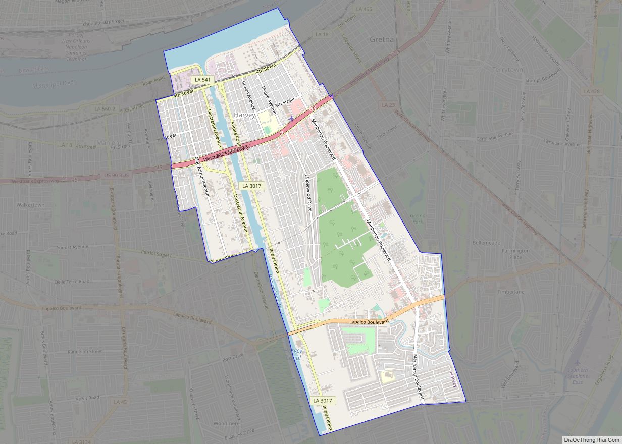
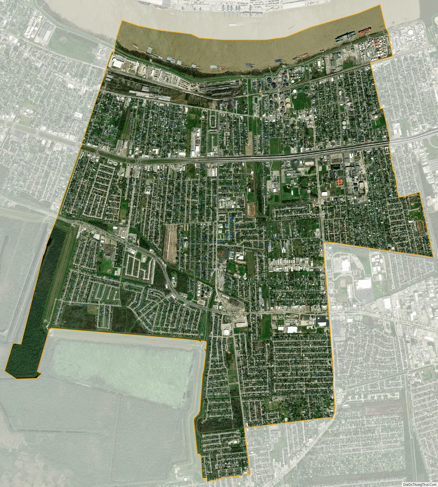
Marrero city Satellite Map
Geography
Marrero is located west of the Intracoastal Canal on the Mississippi River, at coordinates 29°53′10″N 90°6′36″W / 29.88611°N 90.11000°W / 29.88611; -90.11000 (29.886017, -90.109930). It is bordered to the east by Harvey, to the west by Westwego, and to the north, across the Mississippi, by New Orleans.
According to the United States Census Bureau, the Marrero CDP has a total area of 8.6 square miles (22.3 km), of which 8.0 sq mi (20.6 km) are land and 0.66 sq mi (1.7 km), or 7.66%, are water.
See also
Map of Louisiana State and its subdivision:- Acadia
- Allen
- Ascension
- Assumption
- Avoyelles
- Beauregard
- Bienville
- Bossier
- Caddo
- Calcasieu
- Caldwell
- Cameron
- Catahoula
- Claiborne
- Concordia
- De Soto
- East Baton Rouge
- East Carroll
- East Feliciana
- Evangeline
- Franklin
- Grant
- Iberia
- Iberville
- Jackson
- Jefferson
- Jefferson Davis
- La Salle
- Lafayette
- Lafourche
- Lincoln
- Livingston
- Madison
- Morehouse
- Natchitoches
- Orleans
- Ouachita
- Plaquemines
- Pointe Coupee
- Rapides
- Red River
- Richland
- Sabine
- Saint Bernard
- Saint Charles
- Saint Helena
- Saint James
- Saint John the Baptist
- Saint Landry
- Saint Martin
- Saint Mary
- Saint Tammany
- Tangipahoa
- Tensas
- Terrebonne
- Union
- Vermilion
- Vernon
- Washington
- Webster
- West Baton Rouge
- West Carroll
- West Feliciana
- Winn
- Alabama
- Alaska
- Arizona
- Arkansas
- California
- Colorado
- Connecticut
- Delaware
- District of Columbia
- Florida
- Georgia
- Hawaii
- Idaho
- Illinois
- Indiana
- Iowa
- Kansas
- Kentucky
- Louisiana
- Maine
- Maryland
- Massachusetts
- Michigan
- Minnesota
- Mississippi
- Missouri
- Montana
- Nebraska
- Nevada
- New Hampshire
- New Jersey
- New Mexico
- New York
- North Carolina
- North Dakota
- Ohio
- Oklahoma
- Oregon
- Pennsylvania
- Rhode Island
- South Carolina
- South Dakota
- Tennessee
- Texas
- Utah
- Vermont
- Virginia
- Washington
- West Virginia
- Wisconsin
- Wyoming