St. Cloud is a city in the U.S. state of Minnesota and the largest population center in the state’s central region. The population was 68,881 at the 2020 census, making it Minnesota’s 12th-largest city. St. Cloud is the county seat of Stearns County and was named after the city of Saint-Cloud, France (in Île-de-France, near Paris), which was named after the 6th-century French monk Clodoald.
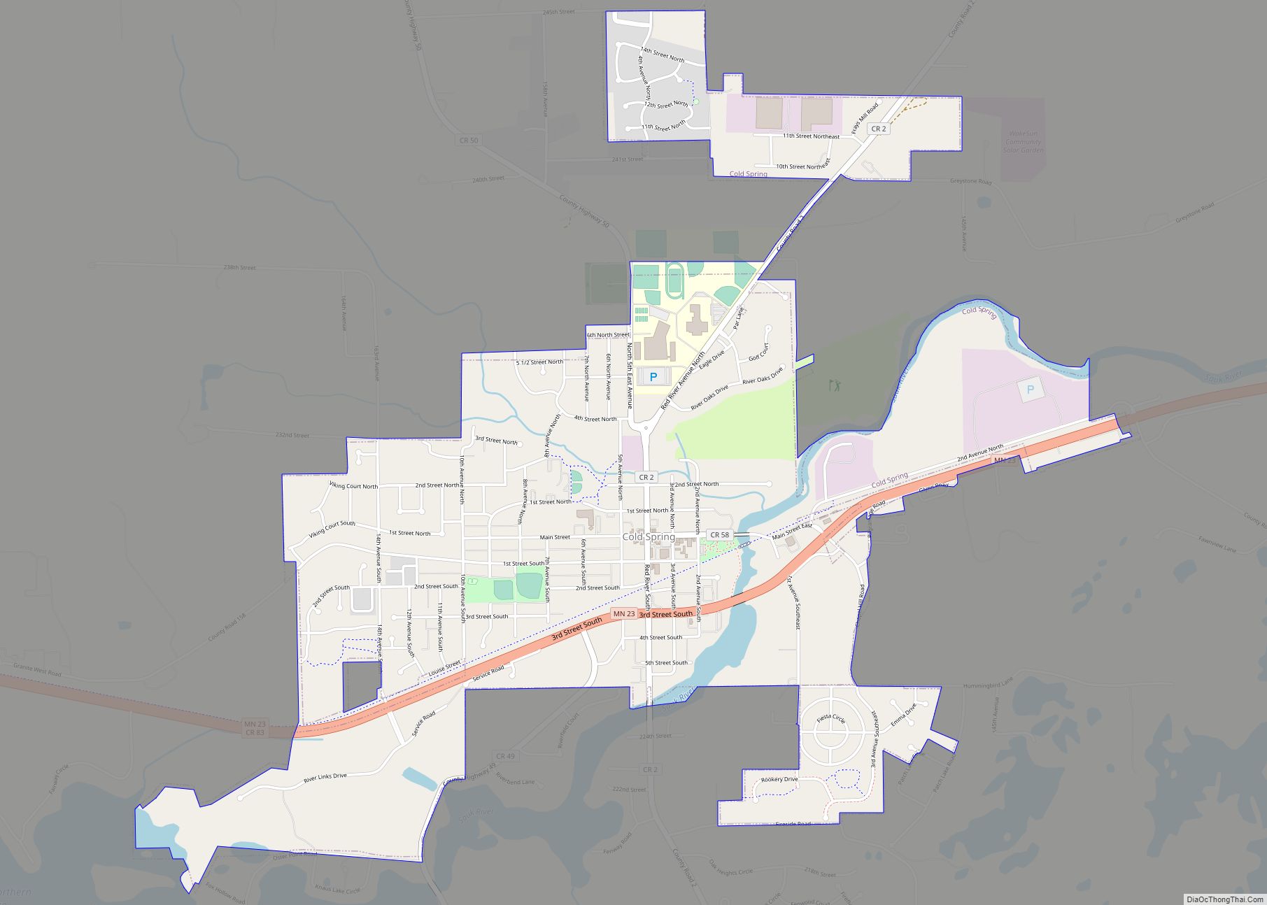
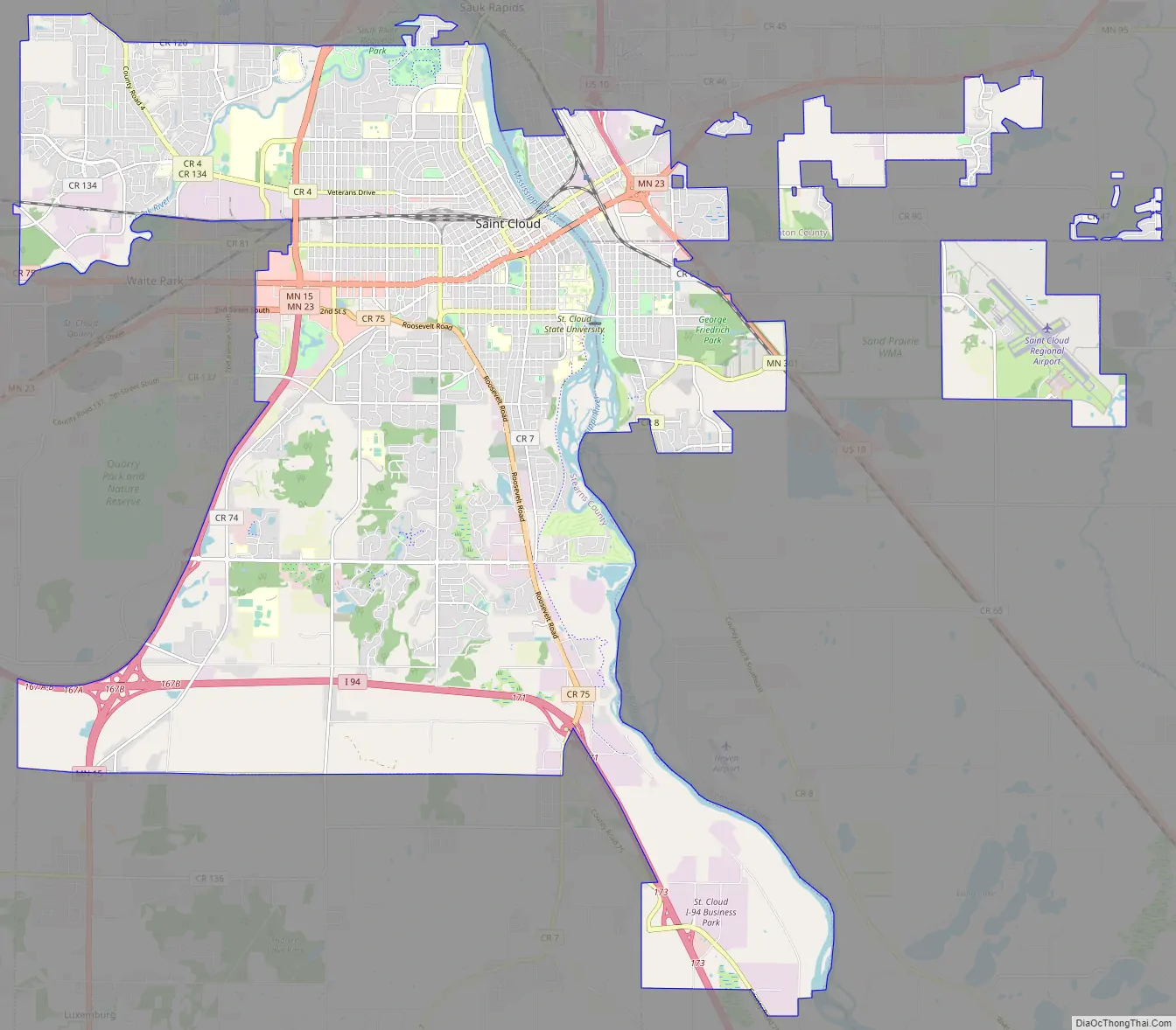
Though mostly in Stearns County, St. Cloud also extends into Benton and Sherburne counties, and straddles the Mississippi River. It is the center of a contiguous urban area, with Waite Park, Sauk Rapids, Sartell, St. Joseph, Rockville, and St. Augusta directly bordering the city, and Foley, Rice, Kimball, Clearwater, Clear Lake, and Cold Spring nearby. The St. Cloud metropolitan area had a population of 199,671 at the 2020 census. It has been listed as the fifth-largest metro with a presence in Minnesota, behind Minneapolis–St. Paul, Duluth–Superior, Fargo-Moorhead, and Rochester. But the entire St. Cloud area is within Minnesota, while most of Fargo-Moorhead’s population is in North Dakota and Superior, Wisconsin, contributes significant population to the Duluth area.
St. Cloud is 65 miles (105 km) northwest of the Twin Cities of Minneapolis–St. Paul along Interstate 94, U.S. Highway 52 (conjoined with I-94), U.S. Highway 10, Minnesota State Highway 15, and Minnesota State Highway 23. The St. Cloud Metropolitan Statistical Area (MSA) is made up of Stearns and Benton Counties. The city was included in a newly defined Minneapolis–St. Paul–St. Cloud Combined Statistical Area (CSA) in 2000. St. Cloud as a whole has never been part of the 13-county MSA comprising Minneapolis, St. Paul, Bloomington and parts of western Wisconsin.
St. Cloud State University, Minnesota’s third-largest public university, is located between the downtown area and the Beaver Islands, which form a maze for a two-mile stretch of the Mississippi. The approximately 30 undeveloped islands are a popular destination for kayak and canoe enthusiasts and are part of a state-designated 12-mile stretch of wild and scenic river.
St. Cloud owns and operates a hydroelectric dam on the Mississippi, the state’s largest city-owned hydro facility, that can produce almost nine megawatts of electricity, about 10% of the total electricity generated by 11 Mississippi hydro dams in Minnesota.
| Name: | St. Cloud city |
|---|---|
| LSAD Code: | 25 |
| LSAD Description: | city (suffix) |
| State: | Minnesota |
| County: | Benton County, Sherburne County, Stearns County |
| Founded: | 1856 |
| Elevation: | 1,030 ft (314 m) |
| Land Area: | 40.17 sq mi (104.04 km²) |
| Water Area: | 1.06 sq mi (2.74 km²) |
| Population Density: | 1,714.78/sq mi (662.08/km²) |
| ZIP code: | 56301, 56302, 56303, 56304, 56393, 56397, 56398 |
| Area code: | 320 |
| FIPS code: | 2756896 |
| GNISfeature ID: | 2396483 |
| Website: | ci.stcloud.mn.us |
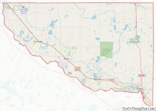
Online Interactive Map
Click on ![]() to view map in "full screen" mode.
to view map in "full screen" mode.
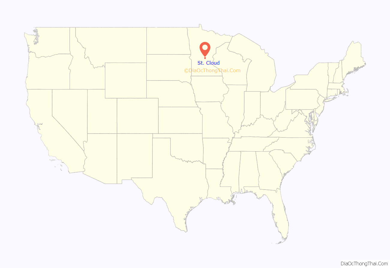
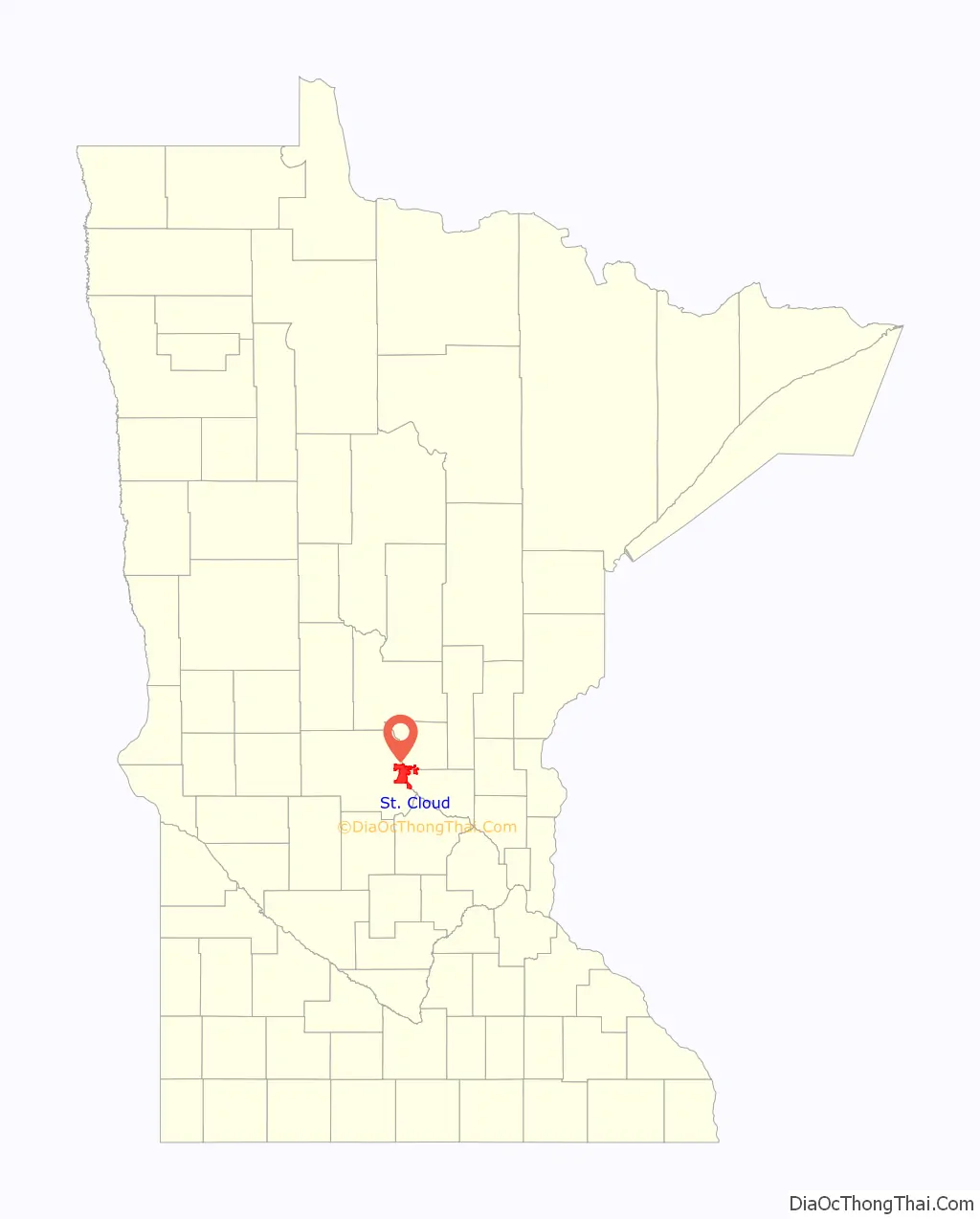
St. Cloud location map. Where is St. Cloud city?
History
What is now the St. Cloud area was occupied by various indigenous peoples for thousands of years. Europeans encountered the Ottawa, Ojibwe, and Winnebago when they started to trade with Native American peoples.
Minnesota was organized as a territory in 1849. The St. Cloud area was opened up to settlers in 1851 after treaty negotiations with the Winnebago (Ho-Chunk) tribe in 1851 and 1852. John Wilson, a Maine native with French Huguenot ancestry and an interest in Napoleon, named the settlement St. Cloud after Saint-Cloud, the Paris suburb where Napoleon had his favorite palace.
St. Cloud was a waystation on the Middle and Woods branches of the Red River Trails used by Métis traders between the Canada–US border at Pembina, North Dakota and St. Paul. The cart trains often consisted of hundreds of oxcarts. The Métis, bringing furs to trade for supplies to take back to their rural settlements, would camp west of the city and cross the Mississippi in St. Cloud or just to the north in Sauk Rapids
The City of St. Cloud was incorporated in 1856. It developed from three distinct settlements, known as Upper Town, Middle Town, and Lower Town, that were established by European-American settlers starting in 1853. Remnants of the deep ravines that separated the three are still visible today. Middle Town was settled primarily by Catholic German immigrants and migrants from eastern states, who were recruited to the region by Father Francis Xavier Pierz, a Catholic priest who also ministered as a missionary to Native Americans.
Lower Town was founded by settlers from the Northern Tier of New England and the mid-Atlantic states, including former residents of upstate New York. Lower Town’s Protestant settlers opposed slavery.
Upper Town, or Arcadia, was plotted by General Sylvanus Lowry, a slaveholder and trader from Kentucky who brought slaves with him, although Minnesota was organized as a free territory. He served on the territorial Council from 1852 to 1853 and was elected president of the newly formed town council in 1856, serving for one year (the office of mayor did not yet exist).
Jane Grey Swisshelm, an abolitionist newspaper editor who had migrated from Pittsburgh, repeatedly attacked Lowry in print. At one point Lowry organized a “Committee of Vigilance” that broke into Swisshelm’s newspaper office and removed her press, throwing it into the Mississippi River. Lowry started a rival paper, The Union.
The US Supreme Court’s 1857 decision in Dred Scott ruled that slaves could not file freedom suits and found the Missouri Compromise unconstitutional, so the territory’s prohibition against slavery became unenforceable. Nearly all Southerners left the St. Cloud area when the Civil War broke out, taking their slaves with them. Lowry died in the city in 1865.
Beginning in 1864, Stephen Miller served a two-year term as Minnesota governor, the only citizen of St. Cloud ever to hold the office. Miller was a “Pennsylvania German businessman”, lawyer, writer, active abolitionist, and personal friend of Alexander Ramsey. He was on the state’s Republican electoral ticket with Abraham Lincoln in 1860.
Steamboats regularly docked at St. Cloud as part of the fur trade and other commerce, although river levels were not reliable. This ended with the construction of the Coon Rapids Dam in 1912–14. Granite quarries have operated in the area since the 1880s, giving St. Cloud its nickname, “The Granite City.”
In 1917, Samuel Pandolfo started the Pan Motor Company in St. Cloud. Pandolfo claimed his Pan-Cars would make St. Cloud the new Detroit but the company failed at a time when resources were directed toward the World War I effort. He was later convicted and imprisoned for attempting to defraud investors.
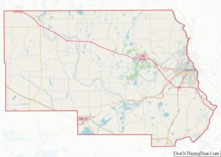
St. Cloud Road Map
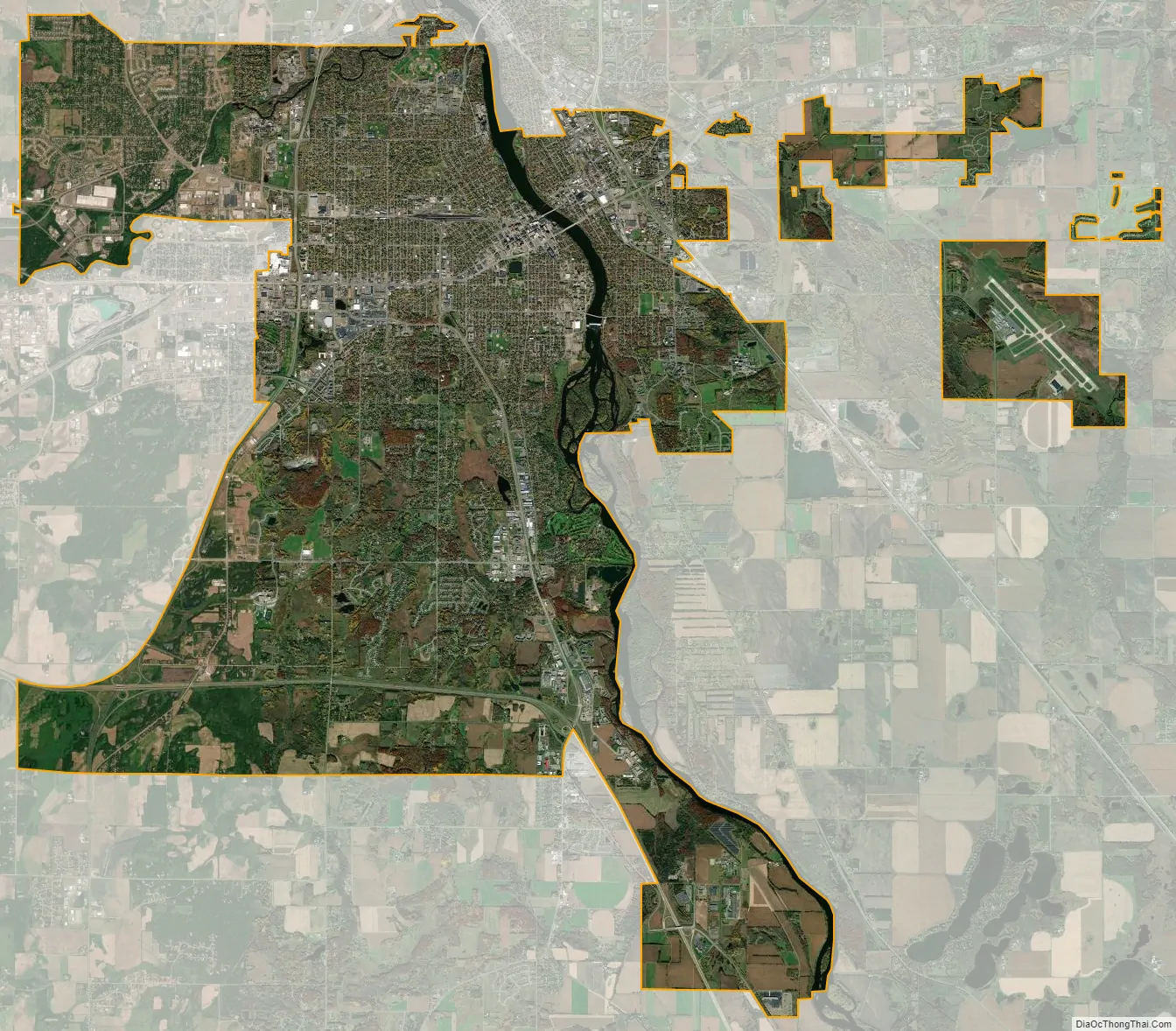
St. Cloud city Satellite Map
Geography
According to the United States Census Bureau, the city has an area of 41.08 square miles (106.40 km); 40.04 square miles (103.70 km) is land and 1.04 square miles (2.69 km) is water.
The city developed on both sides of the Mississippi River. Part of the Sauk River runs along its northern edge.
Just south of downtown is the 7-acre, 35-feet-deep Lake George. In 2021, the Minnesota Pollution Control Agency (MPCA) credited decade-long city investments in stormwater filtration with reducing Lake George’s phosphorus levels well below the state standard. It called Lake George one of three “success stories” in the state, and planned to remove it from a list of impaired waters.
Granite bedrock quarried in the area has been estimated to be 1.7 billion years old and was exposed after several miles of rock above it eroded. The city lies on a band of modern Mississippi river sediment surrounded by land scoured several times by Wisconsin Age glaciers beginning about 35,000 years ago, ending with the Lake Superior St. Croix lobe. The later Des Moines lobe created glacial moraines and drift south and east of the city.
Climate
St. Cloud lies in the warm summer humid continental climate zone (Köppen climate classification: Dfb), with warm summers and cold winters with moderate to heavy snowfall. The monthly normal daily mean temperature ranges from 11.6 °F (−11.3 °C) in January to 70.3 °F (21.3 °C) in July. The record high temperature is 107 °F (42 °C). The record low temperature is -43 °F (-42 °C).
See also
Map of Minnesota State and its subdivision:- Aitkin
- Anoka
- Becker
- Beltrami
- Benton
- Big Stone
- Blue Earth
- Brown
- Carlton
- Carver
- Cass
- Chippewa
- Chisago
- Clay
- Clearwater
- Cook
- Cottonwood
- Crow Wing
- Dakota
- Dodge
- Douglas
- Faribault
- Fillmore
- Freeborn
- Goodhue
- Grant
- Hennepin
- Houston
- Hubbard
- Isanti
- Itasca
- Jackson
- Kanabec
- Kandiyohi
- Kittson
- Koochiching
- Lac qui Parle
- Lake
- Lake of the Woods
- Lake Superior
- Le Sueur
- Lincoln
- Lyon
- Mahnomen
- Marshall
- Martin
- McLeod
- Meeker
- Mille Lacs
- Morrison
- Mower
- Murray
- Nicollet
- Nobles
- Norman
- Olmsted
- Otter Tail
- Pennington
- Pine
- Pipestone
- Polk
- Pope
- Ramsey
- Red Lake
- Redwood
- Renville
- Rice
- Rock
- Roseau
- Saint Louis
- Scott
- Sherburne
- Sibley
- Stearns
- Steele
- Stevens
- Swift
- Todd
- Traverse
- Wabasha
- Wadena
- Waseca
- Washington
- Watonwan
- Wilkin
- Winona
- Wright
- Yellow Medicine
- Alabama
- Alaska
- Arizona
- Arkansas
- California
- Colorado
- Connecticut
- Delaware
- District of Columbia
- Florida
- Georgia
- Hawaii
- Idaho
- Illinois
- Indiana
- Iowa
- Kansas
- Kentucky
- Louisiana
- Maine
- Maryland
- Massachusetts
- Michigan
- Minnesota
- Mississippi
- Missouri
- Montana
- Nebraska
- Nevada
- New Hampshire
- New Jersey
- New Mexico
- New York
- North Carolina
- North Dakota
- Ohio
- Oklahoma
- Oregon
- Pennsylvania
- Rhode Island
- South Carolina
- South Dakota
- Tennessee
- Texas
- Utah
- Vermont
- Virginia
- Washington
- West Virginia
- Wisconsin
- Wyoming