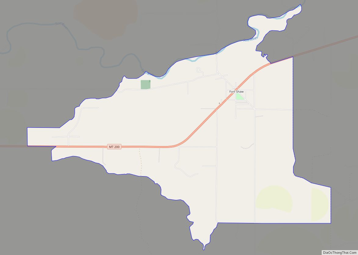
Sun River is a census-designated place (CDP) in Cascade County, Montana, United States. The population was 124 at the 2010 census. It is part of the Great Falls, Montana Metropolitan Statistical Area.
| Name: | Sun River CDP |
|---|---|
| LSAD Code: | 57 |
| LSAD Description: | CDP (suffix) |
| State: | Montana |
| County: | Cascade County |
| Elevation: | 3,412 ft (1,040 m) |
| Total Area: | 1.86 sq mi (4.82 km²) |
| Land Area: | 1.86 sq mi (4.82 km²) |
| Water Area: | 0.00 sq mi (0.00 km²) |
| Total Population: | 95 |
| Population Density: | 51.05/sq mi (19.71/km²) |
| ZIP code: | 59483 |
| Area code: | 406 |
| FIPS code: | 3072475 |
| GNISfeature ID: | 0777313 |
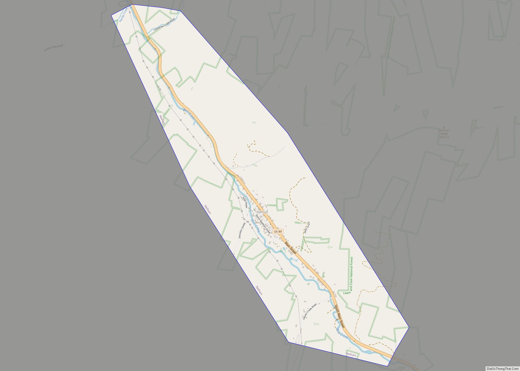
Online Interactive Map
Click on ![]() to view map in "full screen" mode.
to view map in "full screen" mode.
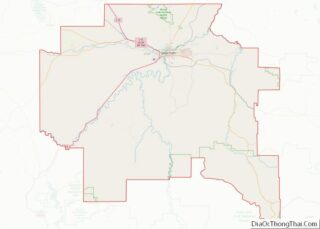
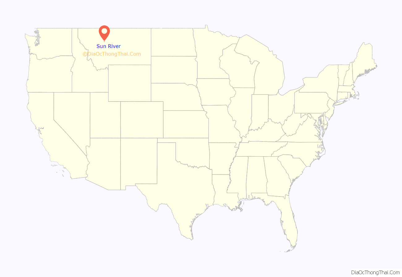
Sun River location map. Where is Sun River CDP?

History
The town is named after the Sun River, by which it is located. The name was from the Indian word Nataeosueti, translated by the English as “Medicine” or “Sun” river. Artifacts have been found in the area related to native cultures dating back to 2000 B.C.. More recent Native tribes included the Blackfeet and Crows.
The town was established in 1867 by John Largent, who laid out the town, sold lots, and opened a store and post office. Largent and Joe Healy also built a toll bridge across the Sun River to profit from the Mullan Road traffic between Fort Benton and the new gold mines to the south.
Sun River Road Map
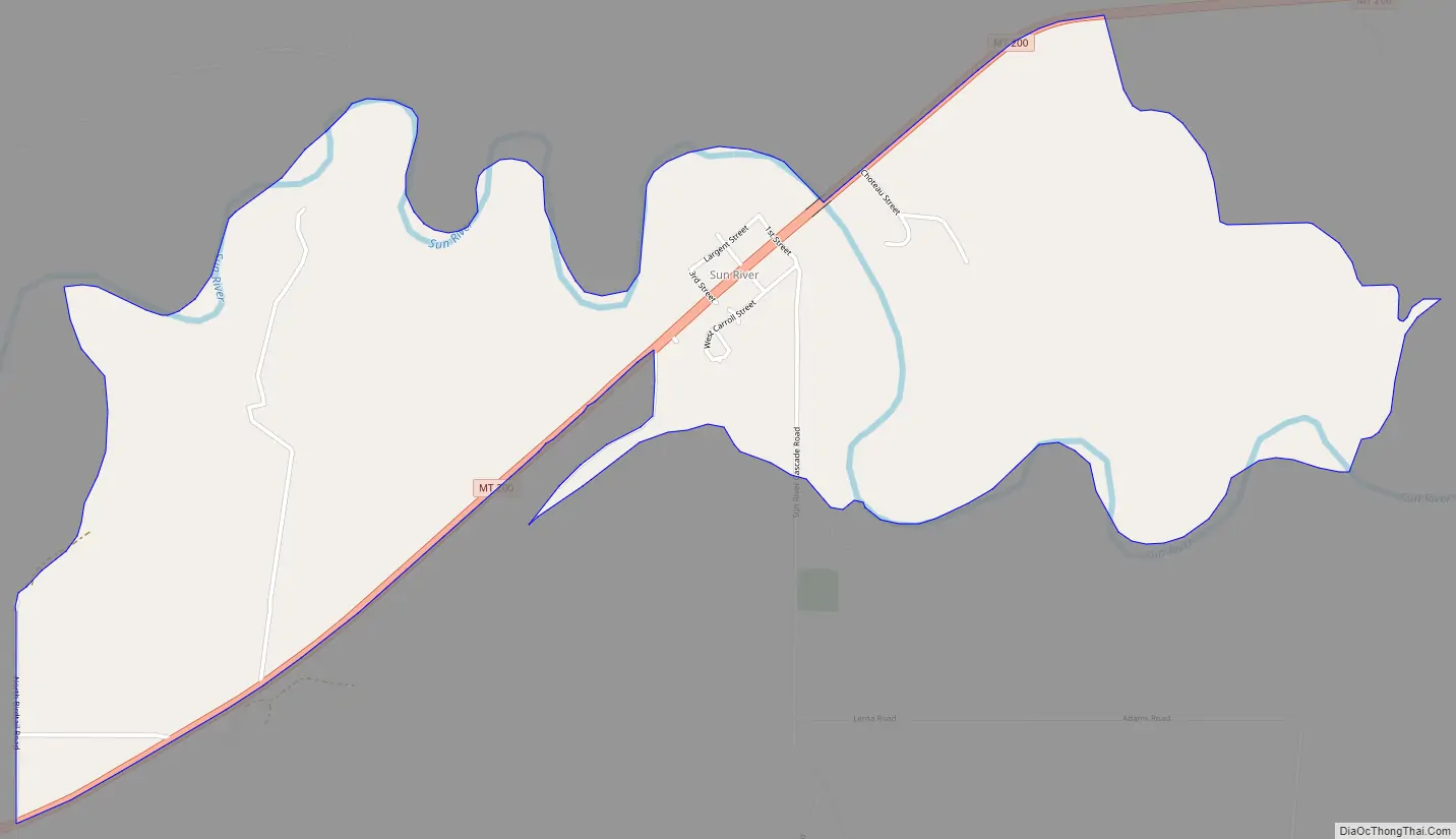
Sun River city Satellite Map

Geography
Sun River is located at 47°31′55″N 111°43′47″W / 47.53194°N 111.72972°W / 47.53194; -111.72972 (47.531915, -111.729648). It is located at the intersection of U.S. Route 89 and Montana Highway 200. It is about 23 miles from Great Falls.
According to the United States Census Bureau, the CDP has a total area of 1.8 square miles (4.7 km), all land.
See also
Map of Montana State and its subdivision:- Beaverhead
- Big Horn
- Blaine
- Broadwater
- Carbon
- Carter
- Cascade
- Chouteau
- Custer
- Daniels
- Dawson
- Deer Lodge
- Fallon
- Fergus
- Flathead
- Gallatin
- Garfield
- Glacier
- Golden Valley
- Granite
- Hill
- Jefferson
- Judith Basin
- Lake
- Lewis and Clark
- Liberty
- Lincoln
- Madison
- McCone
- Meagher
- Mineral
- Missoula
- Musselshell
- Park
- Petroleum
- Phillips
- Pondera
- Powder River
- Powell
- Prairie
- Ravalli
- Richland
- Roosevelt
- Rosebud
- Sanders
- Sheridan
- Silver Bow
- Stillwater
- Sweet Grass
- Teton
- Toole
- Treasure
- Valley
- Wheatland
- Wibaux
- Yellowstone
- Alabama
- Alaska
- Arizona
- Arkansas
- California
- Colorado
- Connecticut
- Delaware
- District of Columbia
- Florida
- Georgia
- Hawaii
- Idaho
- Illinois
- Indiana
- Iowa
- Kansas
- Kentucky
- Louisiana
- Maine
- Maryland
- Massachusetts
- Michigan
- Minnesota
- Mississippi
- Missouri
- Montana
- Nebraska
- Nevada
- New Hampshire
- New Jersey
- New Mexico
- New York
- North Carolina
- North Dakota
- Ohio
- Oklahoma
- Oregon
- Pennsylvania
- Rhode Island
- South Carolina
- South Dakota
- Tennessee
- Texas
- Utah
- Vermont
- Virginia
- Washington
- West Virginia
- Wisconsin
- Wyoming