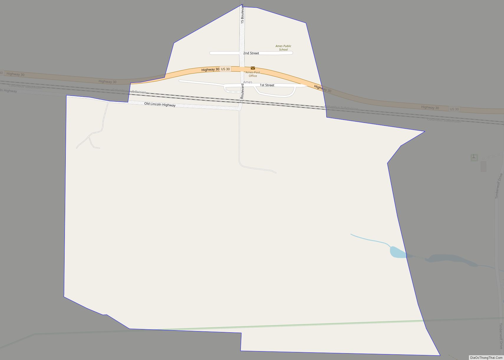
Ames is an unincorporated hamlet in southern Dodge County, Nebraska, United States. As of the 2010 census it had a population of 24.
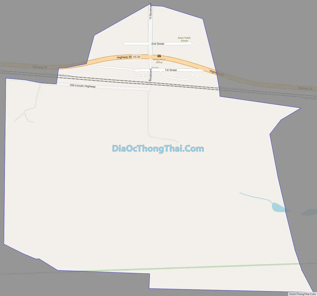
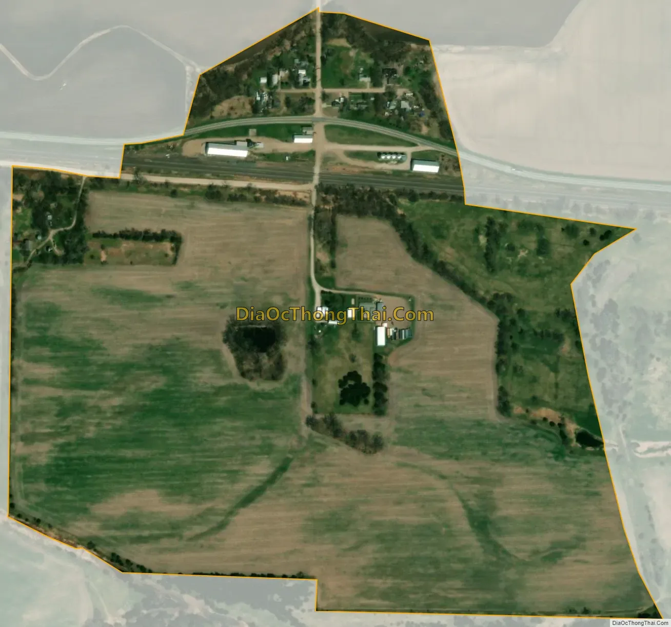
Ames lies along U.S. Route 30, west of the city of Fremont, the county seat of Dodge County. Its elevation is 1,227 feet (374 m) above sea level, and it is located at about 41°27′8″N 96°37′30″W / 41.45222°N 96.62500°W / 41.45222; -96.62500 (41.4523625, -96.6251658). The hamlet consists of a post office, serving ZIP code 68621, a grain storage facility, a church and a few residences
Ames is also located within a census-designated place (CDP) which bears the hamlet’s name. The United States Census Bureau reports that the entire CDP had a population of 24 as of the 2010 census, though it does not indicate how many of those people actually live in Ames proper. See the article on the Ames, Nebraska, CDP for more information about the CDP.
| Name: | Ames CDP |
|---|---|
| LSAD Code: | 57 |
| LSAD Description: | CDP (suffix) |
| State: | Nebraska |
| County: | Dodge County |
| Elevation: | 1,227 ft (374 m) |
| Total Area: | 0.33 sq mi (0.85 km²) |
| Land Area: | 0.33 sq mi (0.85 km²) |
| Water Area: | 0.00 sq mi (0.01 km²) |
| Total Population: | 14 |
| Population Density: | 42.81/sq mi (16.55/km²) |
| FIPS code: | 3101220 |
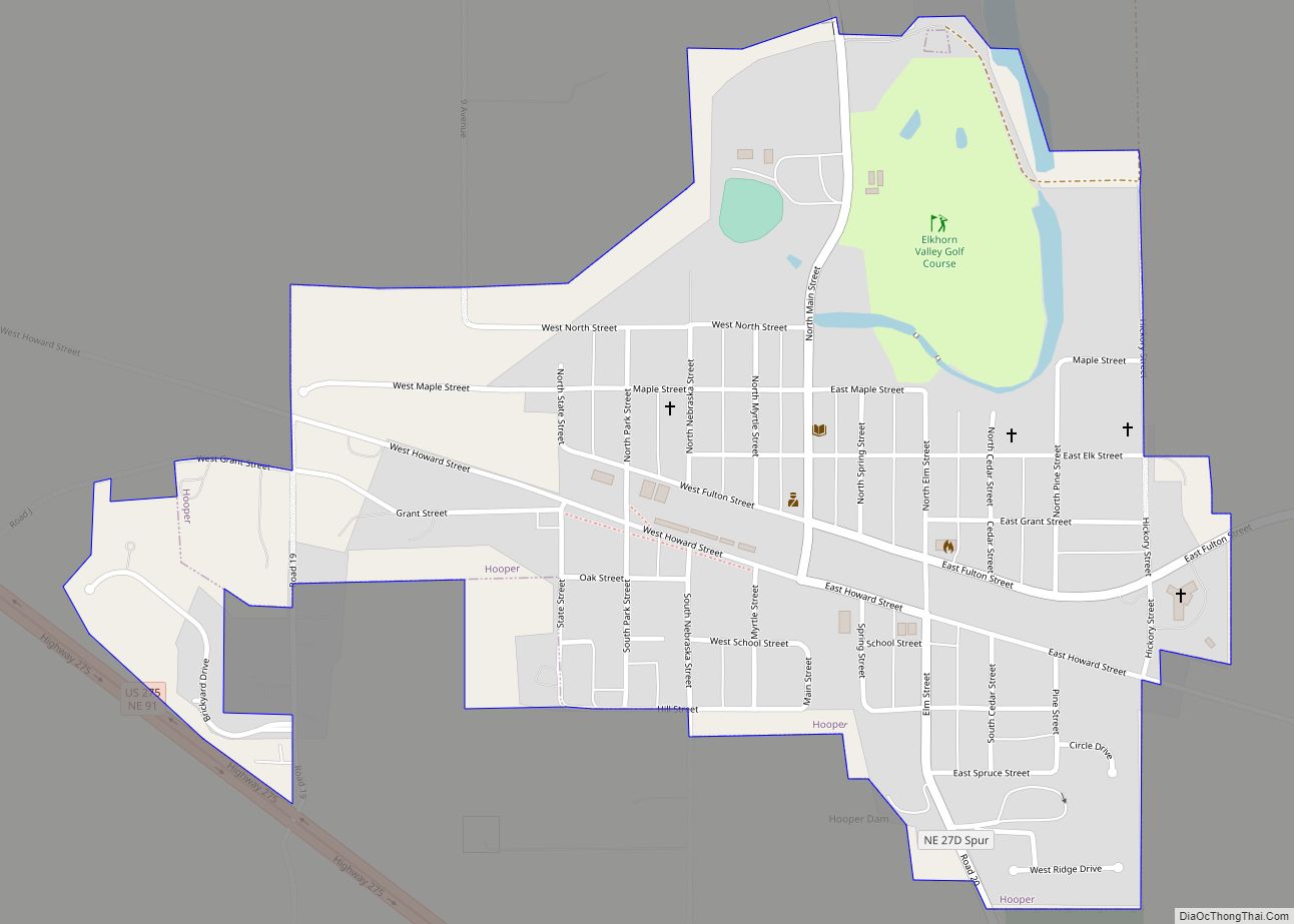
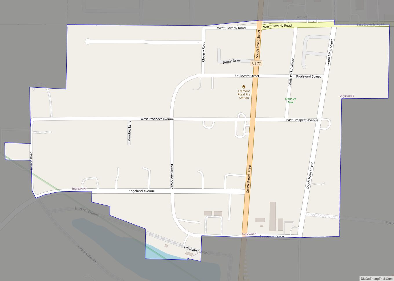
Online Interactive Map
Click on ![]() to view map in "full screen" mode.
to view map in "full screen" mode.
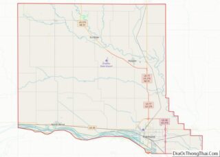
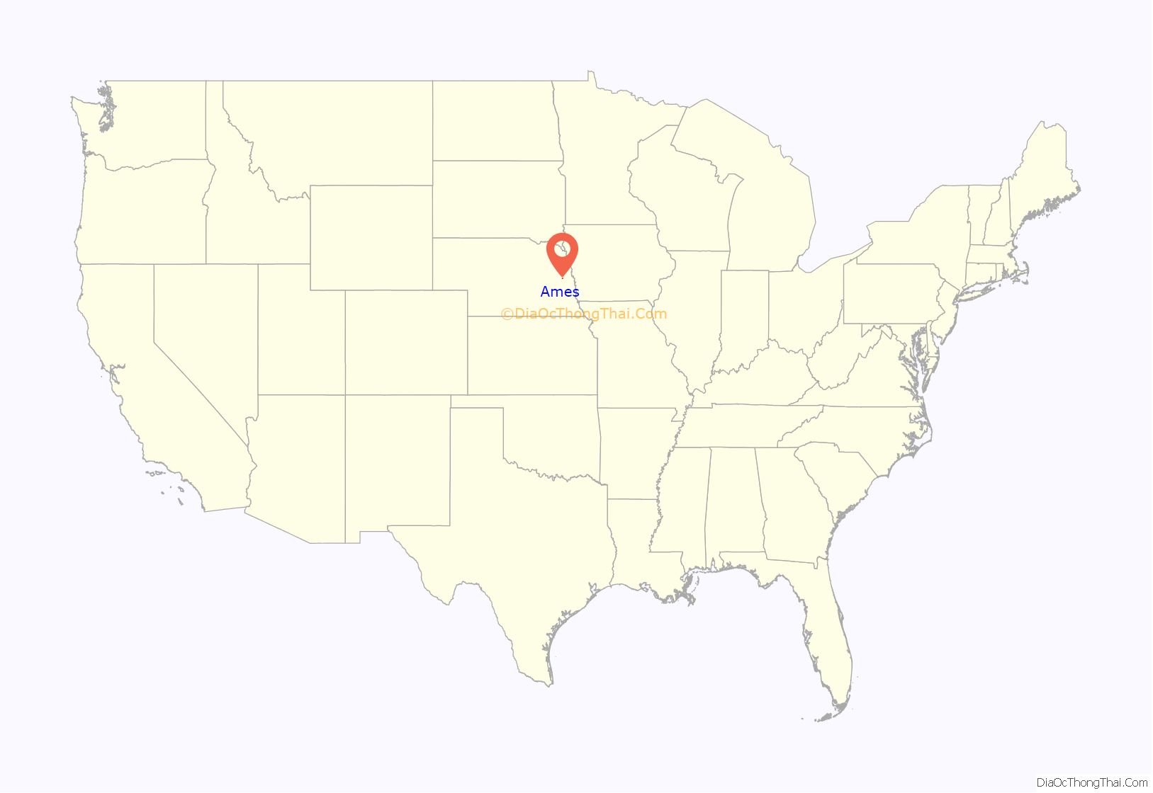
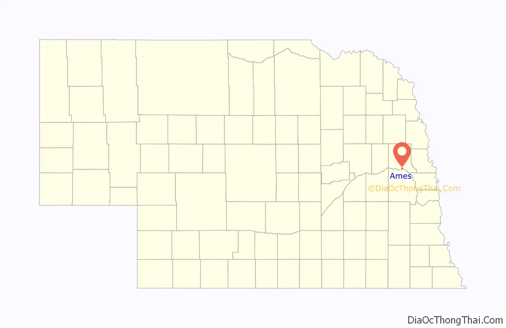
Ames location map. Where is Ames CDP?
History
A post office was established at Ames in 1885. The community was formerly named Ketchum but renamed Ames, likely for Oakes Ames, a Union Pacific Railroad official. Ames was a station and shipping point on the Union Pacific Railroad.
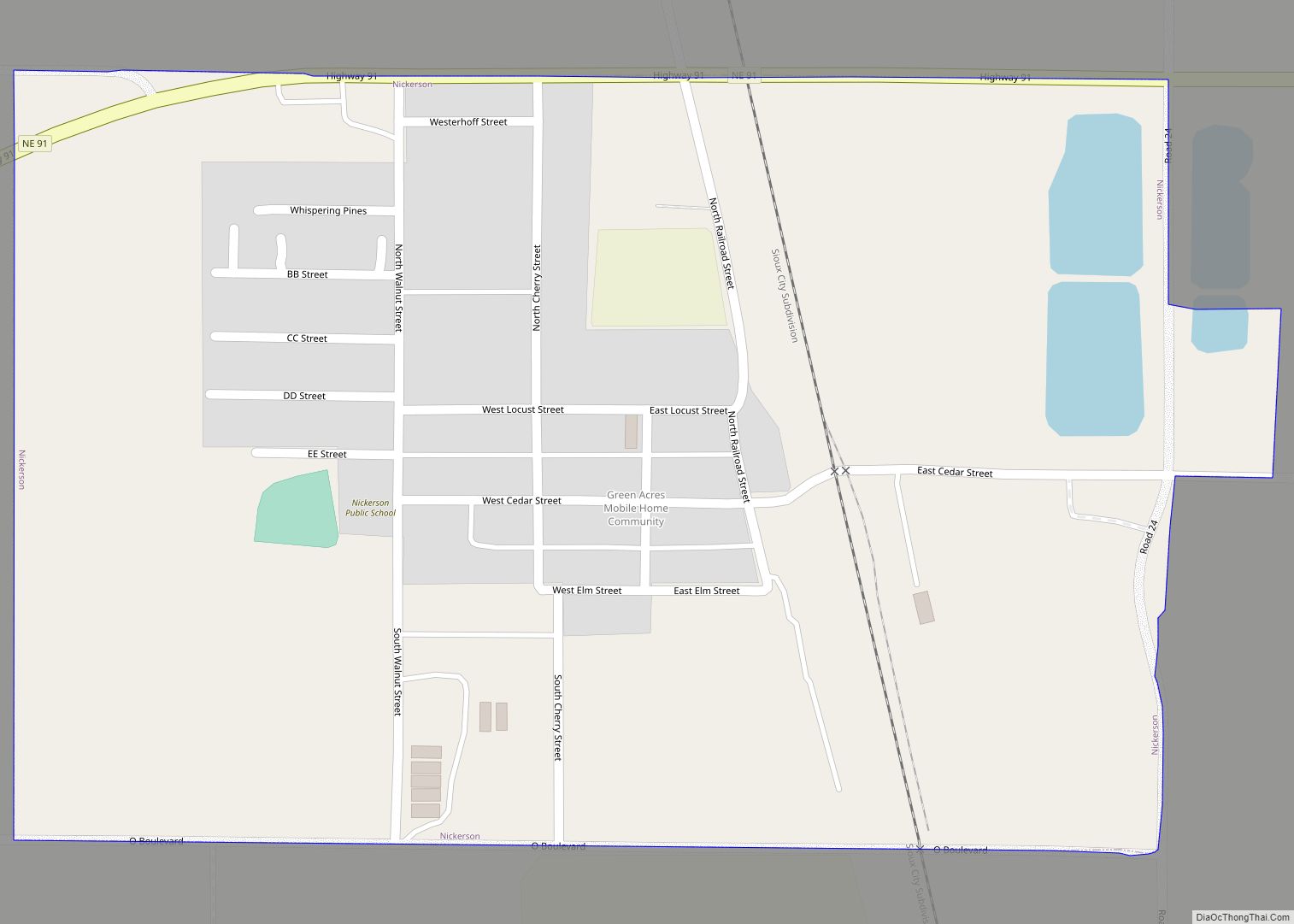
Ames Road Map
Ames city Satellite Map
See also
Map of Nebraska State and its subdivision:- Adams
- Antelope
- Arthur
- Banner
- Blaine
- Boone
- Box Butte
- Boyd
- Brown
- Buffalo
- Burt
- Butler
- Cass
- Cedar
- Chase
- Cherry
- Cheyenne
- Clay
- Colfax
- Cuming
- Custer
- Dakota
- Dawes
- Dawson
- Deuel
- Dixon
- Dodge
- Douglas
- Dundy
- Fillmore
- Franklin
- Frontier
- Furnas
- Gage
- Garden
- Garfield
- Gosper
- Grant
- Greeley
- Hall
- Hamilton
- Harlan
- Hayes
- Hitchcock
- Holt
- Hooker
- Howard
- Jefferson
- Johnson
- Kearney
- Keith
- Keya Paha
- Kimball
- Knox
- Lancaster
- Lincoln
- Logan
- Loup
- Madison
- McPherson
- Merrick
- Morrill
- Nance
- Nemaha
- Nuckolls
- Otoe
- Pawnee
- Perkins
- Phelps
- Pierce
- Platte
- Polk
- Red Willow
- Richardson
- Rock
- Saline
- Sarpy
- Saunders
- Scotts Bluff
- Seward
- Sheridan
- Sherman
- Sioux
- Stanton
- Thayer
- Thomas
- Thurston
- Valley
- Washington
- Wayne
- Webster
- Wheeler
- York
- Alabama
- Alaska
- Arizona
- Arkansas
- California
- Colorado
- Connecticut
- Delaware
- District of Columbia
- Florida
- Georgia
- Hawaii
- Idaho
- Illinois
- Indiana
- Iowa
- Kansas
- Kentucky
- Louisiana
- Maine
- Maryland
- Massachusetts
- Michigan
- Minnesota
- Mississippi
- Missouri
- Montana
- Nebraska
- Nevada
- New Hampshire
- New Jersey
- New Mexico
- New York
- North Carolina
- North Dakota
- Ohio
- Oklahoma
- Oregon
- Pennsylvania
- Rhode Island
- South Carolina
- South Dakota
- Tennessee
- Texas
- Utah
- Vermont
- Virginia
- Washington
- West Virginia
- Wisconsin
- Wyoming