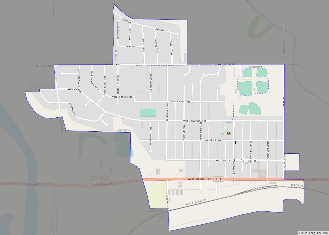
Arlington is a village in Washington County, Nebraska, United States. The population was 1,243 at the 2010 census. Arlington is named after Arlington, Virginia.
| Name: | Arlington village |
|---|---|
| LSAD Code: | 47 |
| LSAD Description: | village (suffix) |
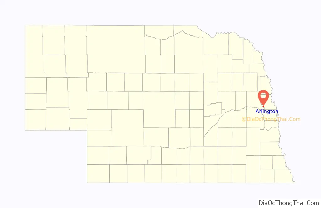
| State: | Nebraska |
| County: | Washington County |
| Elevation: | 1,188 ft (362 m) |
| Total Area: | 0.60 sq mi (1.55 km²) |
| Land Area: | 0.60 sq mi (1.55 km²) |
| Water Area: | 0.00 sq mi (0.00 km²) |
| Total Population: | 1,300 |
| Population Density: | 2,173.91/sq mi (838.85/km²) |
| ZIP code: | 68002 |
| Area code: | 402 |
| FIPS code: | 3101990 |
| GNISfeature ID: | 0827050 |
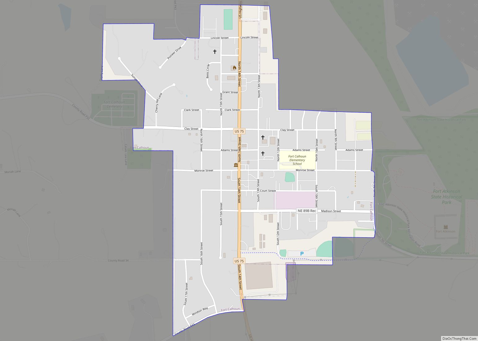
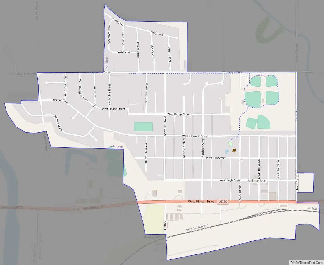
Online Interactive Map
Click on ![]() to view map in "full screen" mode.
to view map in "full screen" mode.
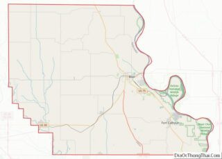
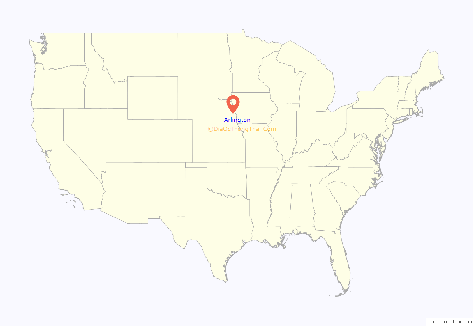
Arlington location map. Where is Arlington village?
History
Arlington was originally called Bell Creek (after nearby Bell Creek) and under the latter name was platted in 1869 when the Sioux City and Pacific Railroad was extended to that point. Due to similarity in name with another place in Nebraska, Bell Creek was renamed Arlington, after the city of Arlington, Virginia, in 1882. Arlington was home to the Marshall Nurseries, an internationally acclaimed nursery credited with inventing the fraxinus pennsylvanica tree species, one of the most common green ash trees planted in the United States of America. Recent history includes the accidental damage to the north wall of the post office.
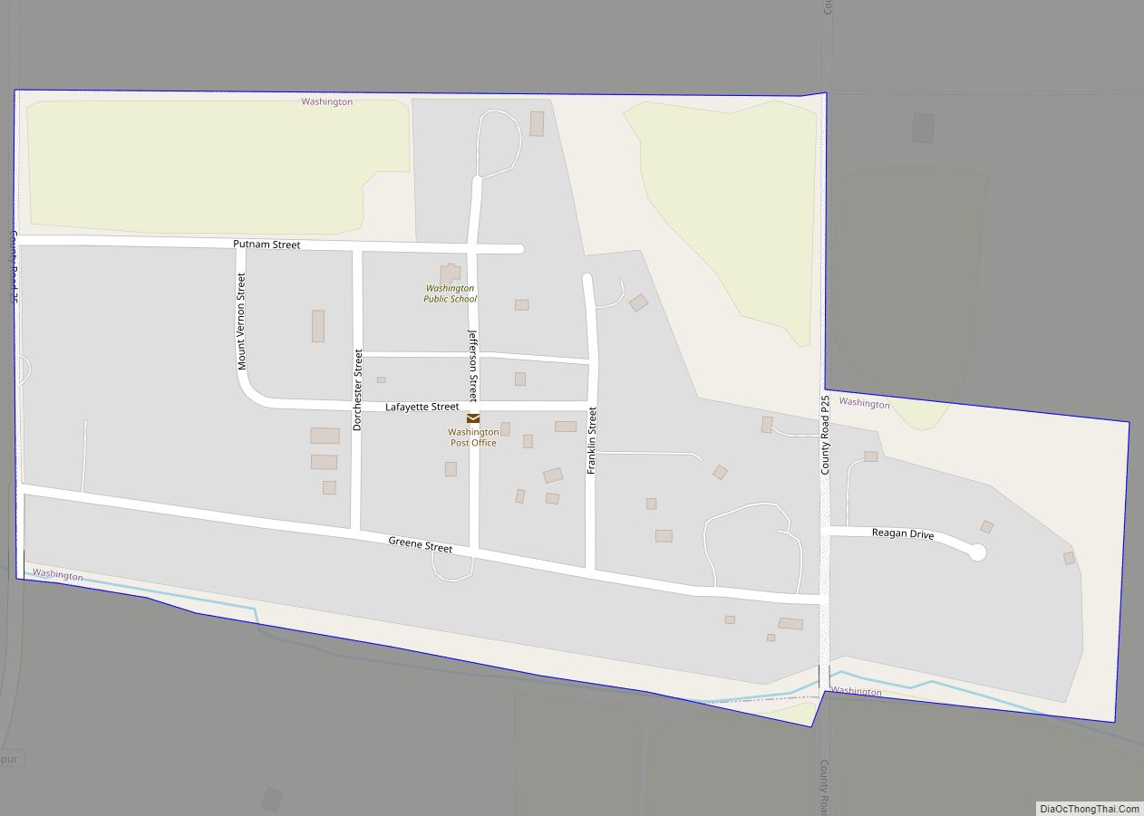
Arlington Road Map
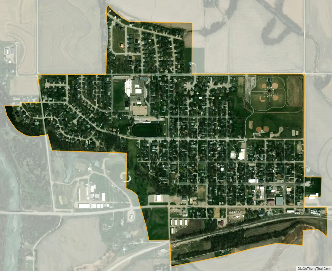
Arlington city Satellite Map
Geography
Arlington is located at 41°27′15″N 96°21′26″W / 41.45417°N 96.35722°W / 41.45417; -96.35722 (41.454244, -96.357246).
According to the United States Census Bureau, the village has a total area of 0.60 square miles (1.55 km), all land.
See also
Map of Nebraska State and its subdivision:- Adams
- Antelope
- Arthur
- Banner
- Blaine
- Boone
- Box Butte
- Boyd
- Brown
- Buffalo
- Burt
- Butler
- Cass
- Cedar
- Chase
- Cherry
- Cheyenne
- Clay
- Colfax
- Cuming
- Custer
- Dakota
- Dawes
- Dawson
- Deuel
- Dixon
- Dodge
- Douglas
- Dundy
- Fillmore
- Franklin
- Frontier
- Furnas
- Gage
- Garden
- Garfield
- Gosper
- Grant
- Greeley
- Hall
- Hamilton
- Harlan
- Hayes
- Hitchcock
- Holt
- Hooker
- Howard
- Jefferson
- Johnson
- Kearney
- Keith
- Keya Paha
- Kimball
- Knox
- Lancaster
- Lincoln
- Logan
- Loup
- Madison
- McPherson
- Merrick
- Morrill
- Nance
- Nemaha
- Nuckolls
- Otoe
- Pawnee
- Perkins
- Phelps
- Pierce
- Platte
- Polk
- Red Willow
- Richardson
- Rock
- Saline
- Sarpy
- Saunders
- Scotts Bluff
- Seward
- Sheridan
- Sherman
- Sioux
- Stanton
- Thayer
- Thomas
- Thurston
- Valley
- Washington
- Wayne
- Webster
- Wheeler
- York
- Alabama
- Alaska
- Arizona
- Arkansas
- California
- Colorado
- Connecticut
- Delaware
- District of Columbia
- Florida
- Georgia
- Hawaii
- Idaho
- Illinois
- Indiana
- Iowa
- Kansas
- Kentucky
- Louisiana
- Maine
- Maryland
- Massachusetts
- Michigan
- Minnesota
- Mississippi
- Missouri
- Montana
- Nebraska
- Nevada
- New Hampshire
- New Jersey
- New Mexico
- New York
- North Carolina
- North Dakota
- Ohio
- Oklahoma
- Oregon
- Pennsylvania
- Rhode Island
- South Carolina
- South Dakota
- Tennessee
- Texas
- Utah
- Vermont
- Virginia
- Washington
- West Virginia
- Wisconsin
- Wyoming