Atlanta is a village in Phelps County, Nebraska, United States. The population was 131 at the 2010 Census. During World War II, the town was neighbored by Camp Atlanta, which housed more than 3,000 Nazi German prisoners of war over three years. The camp was said to house more prisoners during the war than the town had in population during its entire existence.
| Name: | Atlanta village |
|---|---|
| LSAD Code: | 47 |
| LSAD Description: | village (suffix) |
| State: | Nebraska |
| County: | Phelps County |
| Elevation: | 2,339 ft (713 m) |
| Total Area: | 0.23 sq mi (0.60 km²) |
| Land Area: | 0.23 sq mi (0.60 km²) |
| Water Area: | 0.00 sq mi (0.00 km²) |
| Total Population: | 106 |
| Population Density: | 458.87/sq mi (177.00/km²) |
| ZIP code: | 68923 |
| Area code: | 308 |
| FIPS code: | 3102620 |
| GNISfeature ID: | 0827110 |
Online Interactive Map
Click on ![]() to view map in "full screen" mode.
to view map in "full screen" mode.
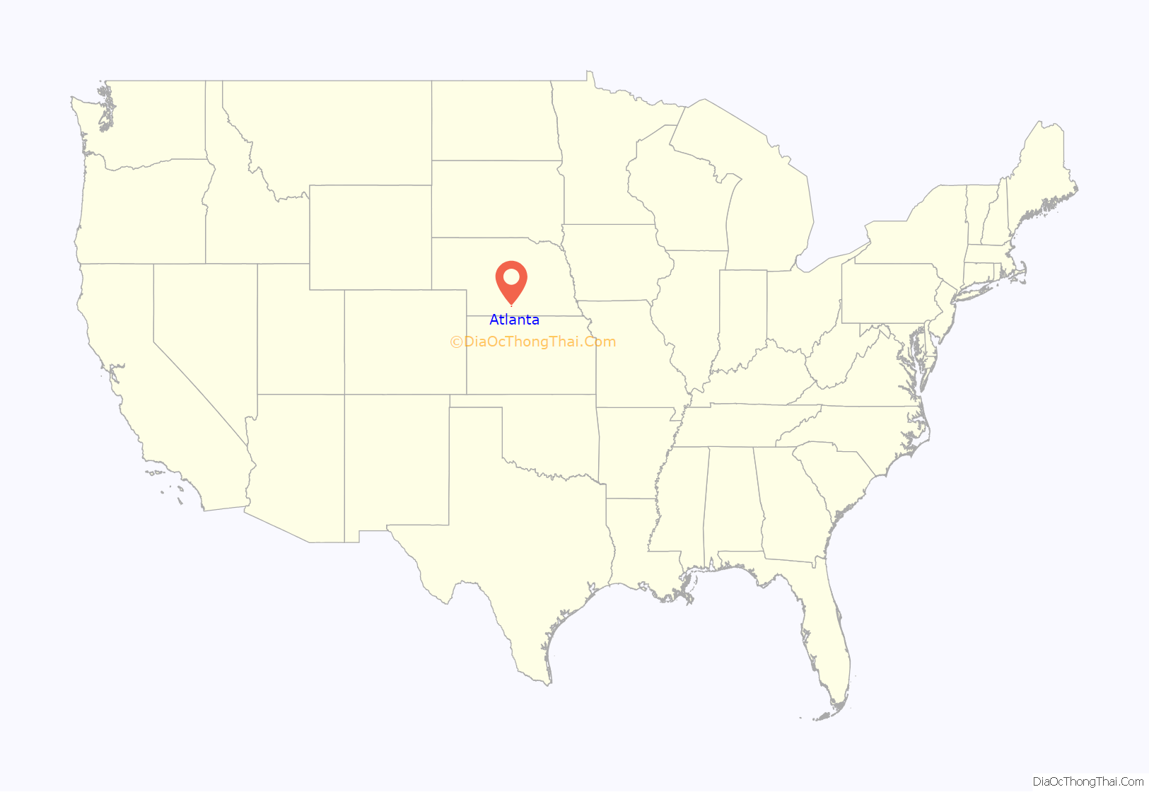
Atlanta location map. Where is Atlanta village?
History
Atlanta was laid out in 1883 when the Chicago, Burlington & Quincy Railroad was extended to that point. It was likely named after Atlanta, Illinois.
In the first part of the 20th century, Atlanta was home to several amenities for neighboring farmers. They included a grocery store, post office, cafe, and a tourist shop for drivers on U.S. Route 6, as well as corn and grain elevators and two gas stations. Chataqua groups entertained at the town hall, with annual events such as the Atlanta Institute, which was an annual fair. There were also free outdoor “picture shows”, and the Atlanta Industry Day Picnic. The Atlanta schoolhouse had eight grades. At the beginning of World War II, there was one street, approximately two blocks long, with only a few business buildings drooping and dwindling along its edges.
Atlanta Road Map
Atlanta city Satellite Map
Geography
Atlanta is located at 40°22′6″N 99°28′22″W / 40.36833°N 99.47278°W / 40.36833; -99.47278 (40.368265, -99.472741).
According to the United States Census Bureau, the village has a total area of 0.23 square miles (0.60 km), all land.
See also
Map of Nebraska State and its subdivision:- Adams
- Antelope
- Arthur
- Banner
- Blaine
- Boone
- Box Butte
- Boyd
- Brown
- Buffalo
- Burt
- Butler
- Cass
- Cedar
- Chase
- Cherry
- Cheyenne
- Clay
- Colfax
- Cuming
- Custer
- Dakota
- Dawes
- Dawson
- Deuel
- Dixon
- Dodge
- Douglas
- Dundy
- Fillmore
- Franklin
- Frontier
- Furnas
- Gage
- Garden
- Garfield
- Gosper
- Grant
- Greeley
- Hall
- Hamilton
- Harlan
- Hayes
- Hitchcock
- Holt
- Hooker
- Howard
- Jefferson
- Johnson
- Kearney
- Keith
- Keya Paha
- Kimball
- Knox
- Lancaster
- Lincoln
- Logan
- Loup
- Madison
- McPherson
- Merrick
- Morrill
- Nance
- Nemaha
- Nuckolls
- Otoe
- Pawnee
- Perkins
- Phelps
- Pierce
- Platte
- Polk
- Red Willow
- Richardson
- Rock
- Saline
- Sarpy
- Saunders
- Scotts Bluff
- Seward
- Sheridan
- Sherman
- Sioux
- Stanton
- Thayer
- Thomas
- Thurston
- Valley
- Washington
- Wayne
- Webster
- Wheeler
- York
- Alabama
- Alaska
- Arizona
- Arkansas
- California
- Colorado
- Connecticut
- Delaware
- District of Columbia
- Florida
- Georgia
- Hawaii
- Idaho
- Illinois
- Indiana
- Iowa
- Kansas
- Kentucky
- Louisiana
- Maine
- Maryland
- Massachusetts
- Michigan
- Minnesota
- Mississippi
- Missouri
- Montana
- Nebraska
- Nevada
- New Hampshire
- New Jersey
- New Mexico
- New York
- North Carolina
- North Dakota
- Ohio
- Oklahoma
- Oregon
- Pennsylvania
- Rhode Island
- South Carolina
- South Dakota
- Tennessee
- Texas
- Utah
- Vermont
- Virginia
- Washington
- West Virginia
- Wisconsin
- Wyoming
