Bennet is a village in Lancaster County, Nebraska, United States. It is part of the Lincoln, Nebraska Metropolitan Statistical Area. The population was 1,082 at the 2020 census.
| Name: | Bennet village |
|---|---|
| LSAD Code: | 47 |
| LSAD Description: | village (suffix) |
| State: | Nebraska |
| County: | Lancaster County |
| Elevation: | 1,299 ft (396 m) |
| Total Area: | 0.52 sq mi (1.35 km²) |
| Land Area: | 0.52 sq mi (1.35 km²) |
| Water Area: | 0.00 sq mi (0.00 km²) |
| Total Population: | 1,082 |
| Population Density: | 2,076.78/sq mi (801.91/km²) |
| ZIP code: | 68317 |
| Area code: | 402 |
| FIPS code: | 3104300 |
| GNISfeature ID: | 2398094 |
Online Interactive Map
Click on ![]() to view map in "full screen" mode.
to view map in "full screen" mode.
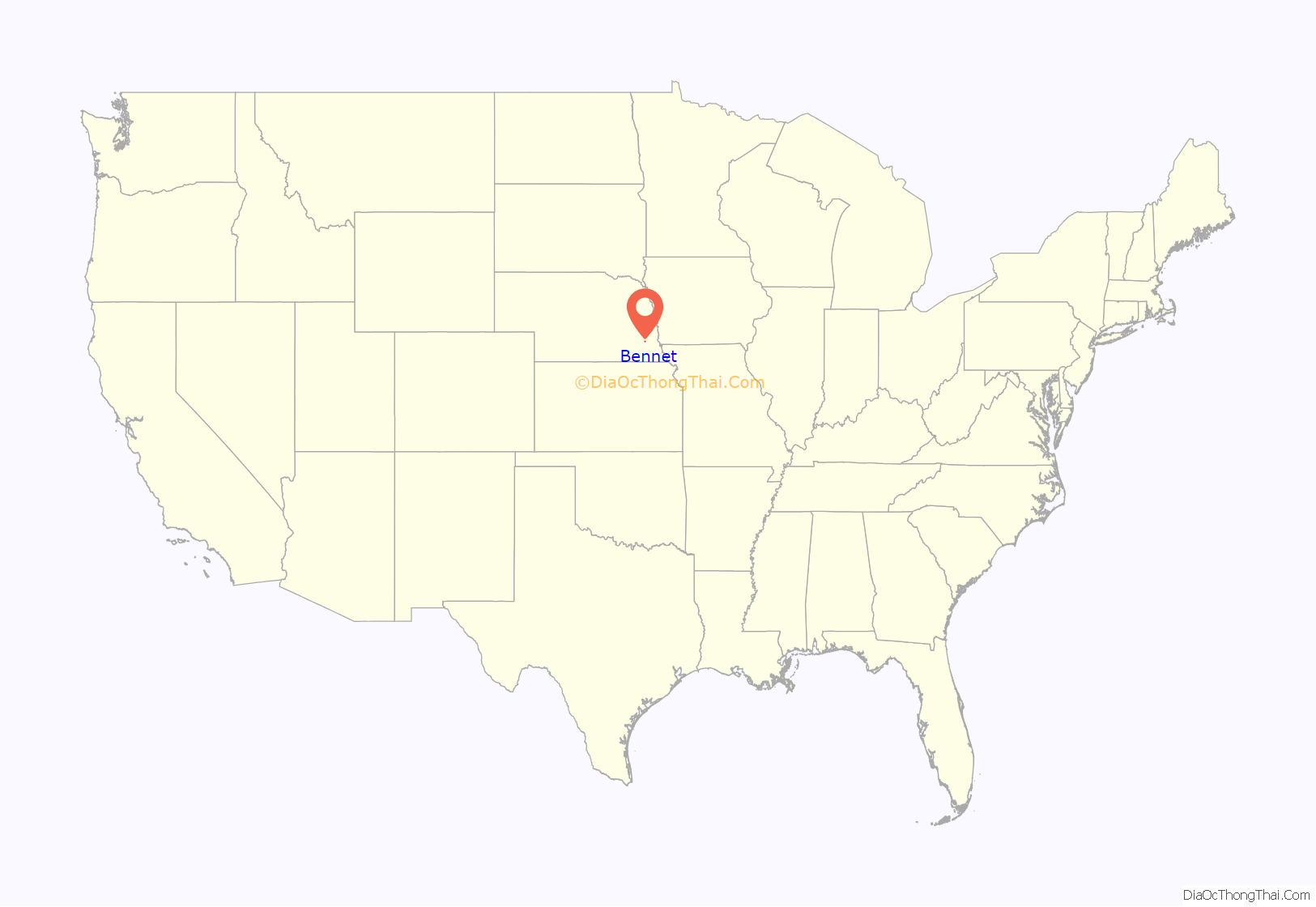
Bennet location map. Where is Bennet village?
History
Bennet was platted in 1871 when the railroad was extended to that point. The village was founded on land previously owned by William Roggenkamp as a station for a rail line being laid by the Midland Pacific Railway which ran from Lincoln to Nebraska City. It was originally named Bennett’s Station for John Bennett, officer of the Midland Pacific Railway. In 1881, the village was incorporated as Bennet.
By the early 1900s, the village had become a prosperous commercial and social center for the area. At this time, the nearby town of Lincoln was still relatively small and remote. Beginning with the Great Depression, Bennet’s population declined, local businesses closed, and many moved to cities for work.
Today, Bennet has a similar status as many former business centers in Lancaster County as Lincoln has become the political, financial, commercial, and cultural center of the county. However, Bennet has experienced a recent population growth as more and more people have begun living in Bennet despite working in Lincoln. According to a community-wide survey conducted in 1992, 76% of Bennet’s residents commute to work in Lincoln. A recent survey indicated that 44% of people who moved to Bennet did so because of the small town atmosphere, citing a lower cost of living, cleaner air, and a good school system.
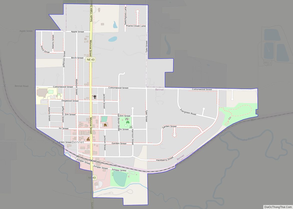
Bennet Road Map
Bennet city Satellite Map
Geography
According to the United States Census Bureau, the village has a total area of 0.51 square miles (1.32 km), all land.
See also
Map of Nebraska State and its subdivision:- Adams
- Antelope
- Arthur
- Banner
- Blaine
- Boone
- Box Butte
- Boyd
- Brown
- Buffalo
- Burt
- Butler
- Cass
- Cedar
- Chase
- Cherry
- Cheyenne
- Clay
- Colfax
- Cuming
- Custer
- Dakota
- Dawes
- Dawson
- Deuel
- Dixon
- Dodge
- Douglas
- Dundy
- Fillmore
- Franklin
- Frontier
- Furnas
- Gage
- Garden
- Garfield
- Gosper
- Grant
- Greeley
- Hall
- Hamilton
- Harlan
- Hayes
- Hitchcock
- Holt
- Hooker
- Howard
- Jefferson
- Johnson
- Kearney
- Keith
- Keya Paha
- Kimball
- Knox
- Lancaster
- Lincoln
- Logan
- Loup
- Madison
- McPherson
- Merrick
- Morrill
- Nance
- Nemaha
- Nuckolls
- Otoe
- Pawnee
- Perkins
- Phelps
- Pierce
- Platte
- Polk
- Red Willow
- Richardson
- Rock
- Saline
- Sarpy
- Saunders
- Scotts Bluff
- Seward
- Sheridan
- Sherman
- Sioux
- Stanton
- Thayer
- Thomas
- Thurston
- Valley
- Washington
- Wayne
- Webster
- Wheeler
- York
- Alabama
- Alaska
- Arizona
- Arkansas
- California
- Colorado
- Connecticut
- Delaware
- District of Columbia
- Florida
- Georgia
- Hawaii
- Idaho
- Illinois
- Indiana
- Iowa
- Kansas
- Kentucky
- Louisiana
- Maine
- Maryland
- Massachusetts
- Michigan
- Minnesota
- Mississippi
- Missouri
- Montana
- Nebraska
- Nevada
- New Hampshire
- New Jersey
- New Mexico
- New York
- North Carolina
- North Dakota
- Ohio
- Oklahoma
- Oregon
- Pennsylvania
- Rhode Island
- South Carolina
- South Dakota
- Tennessee
- Texas
- Utah
- Vermont
- Virginia
- Washington
- West Virginia
- Wisconsin
- Wyoming
