Champion is an unincorporated community and census-designated place in central Chase County, Nebraska, United States. As of the 2010 census, it had a population of 103. It has a post office with the ZIP code 69023.
| Name: | Champion CDP |
|---|---|
| LSAD Code: | 57 |
| LSAD Description: | CDP (suffix) |
| State: | Nebraska |
| County: | Chase County |
| Elevation: | 3,271 ft (997 m) |
| Total Area: | 0.25 sq mi (0.64 km²) |
| Land Area: | 0.24 sq mi (0.62 km²) |
| Water Area: | 0.01 sq mi (0.02 km²) |
| Total Population: | 115 |
| Population Density: | 481.17/sq mi (185.60/km²) |
| ZIP code: | 69023 |
| FIPS code: | 3108745 |
| GNISfeature ID: | 828088 |
Online Interactive Map
Click on ![]() to view map in "full screen" mode.
to view map in "full screen" mode.
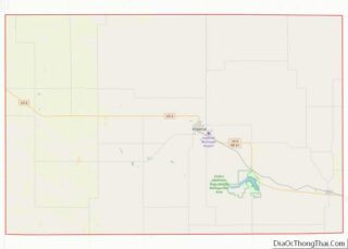
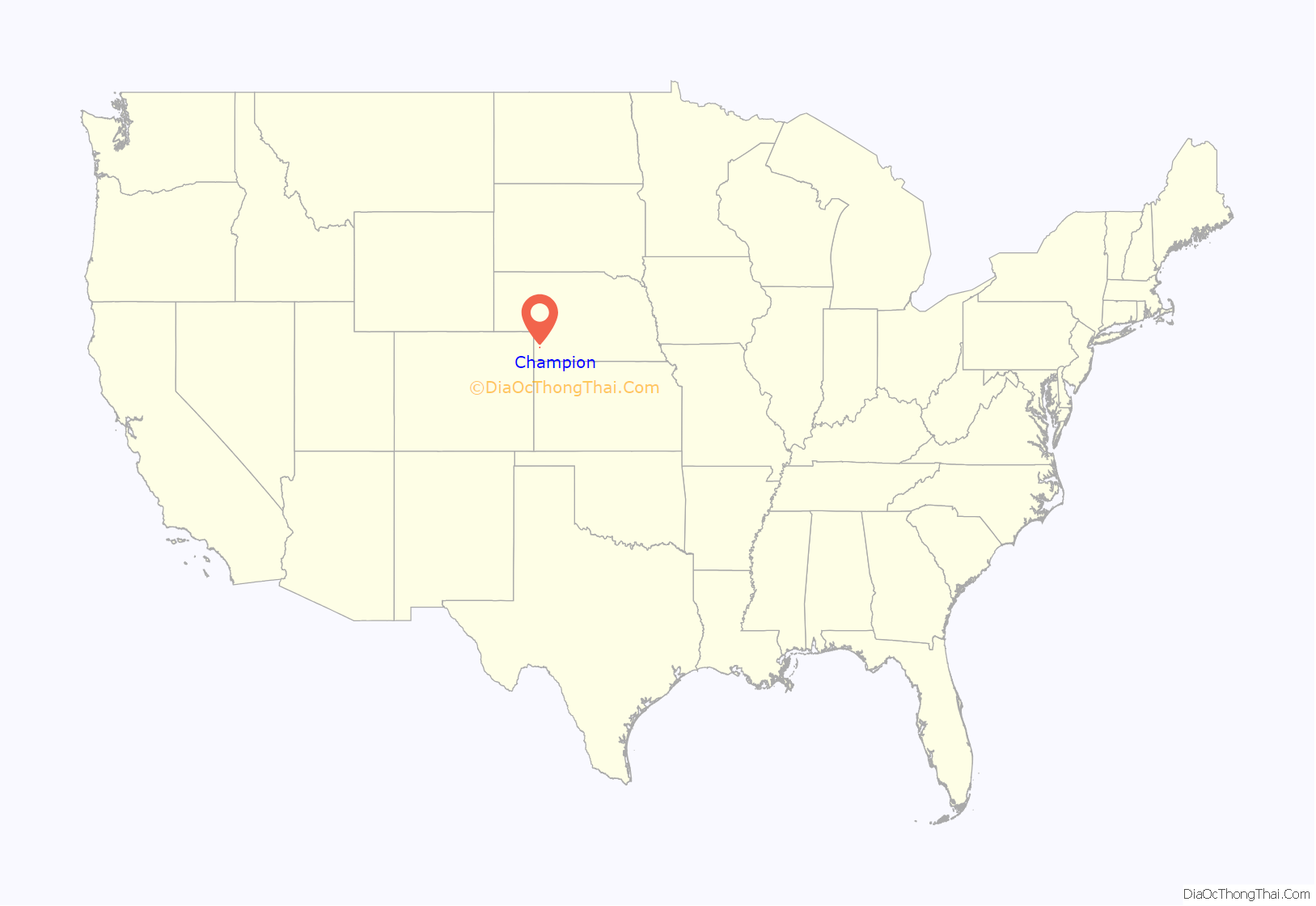
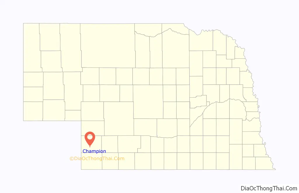
Champion location map. Where is Champion CDP?
History
Champion was named for Champion S. Chase, a Nebraska politician.
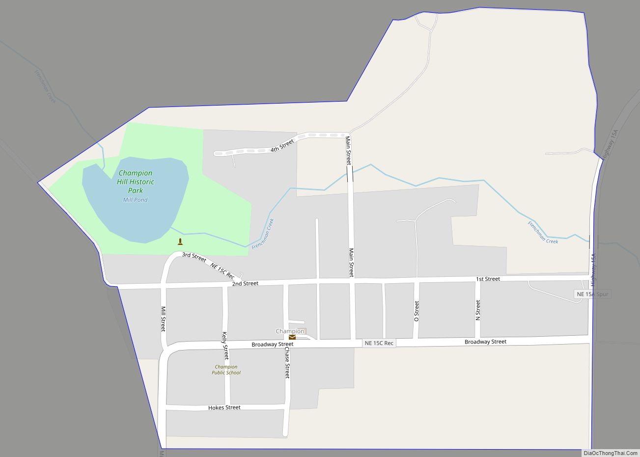
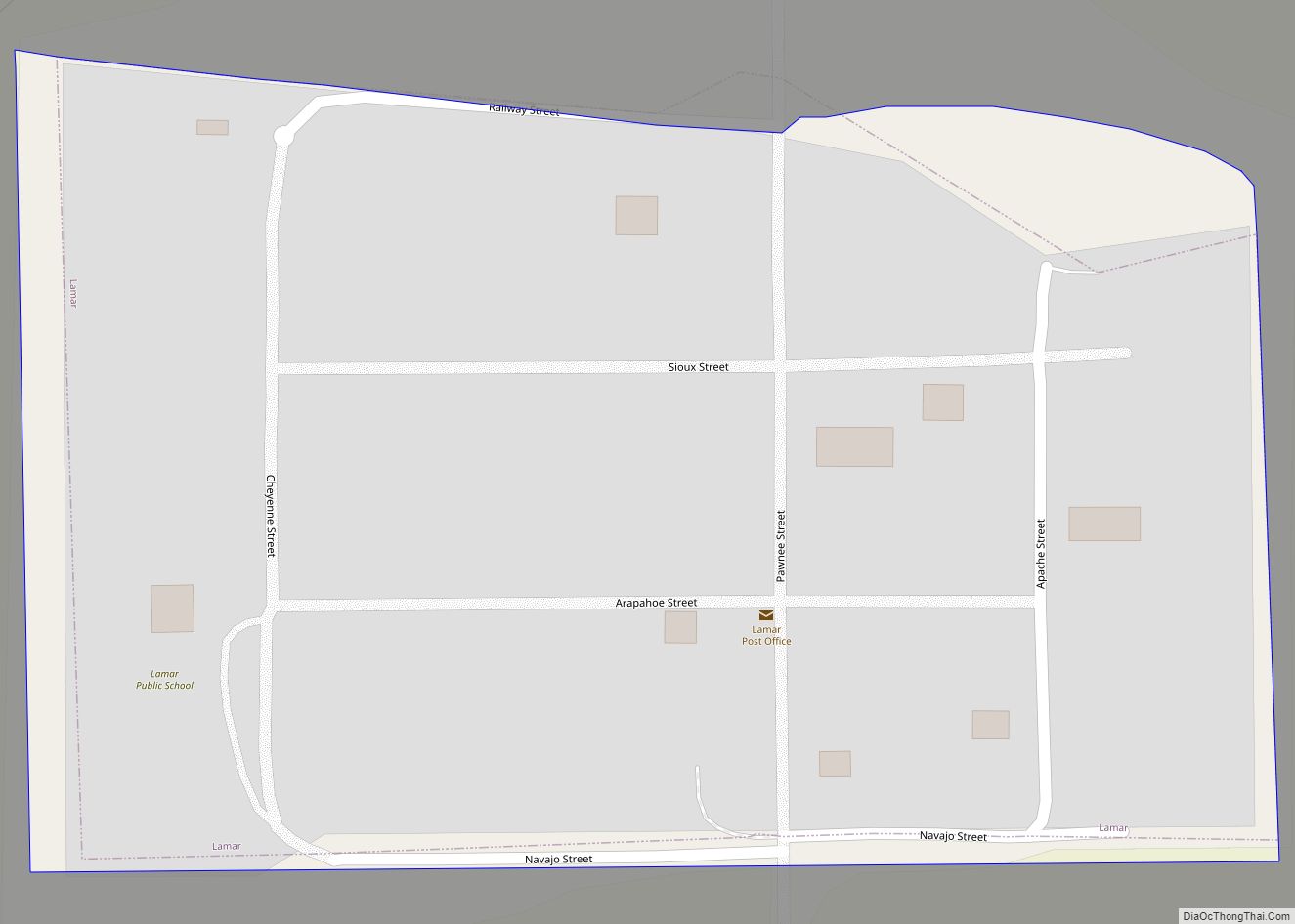
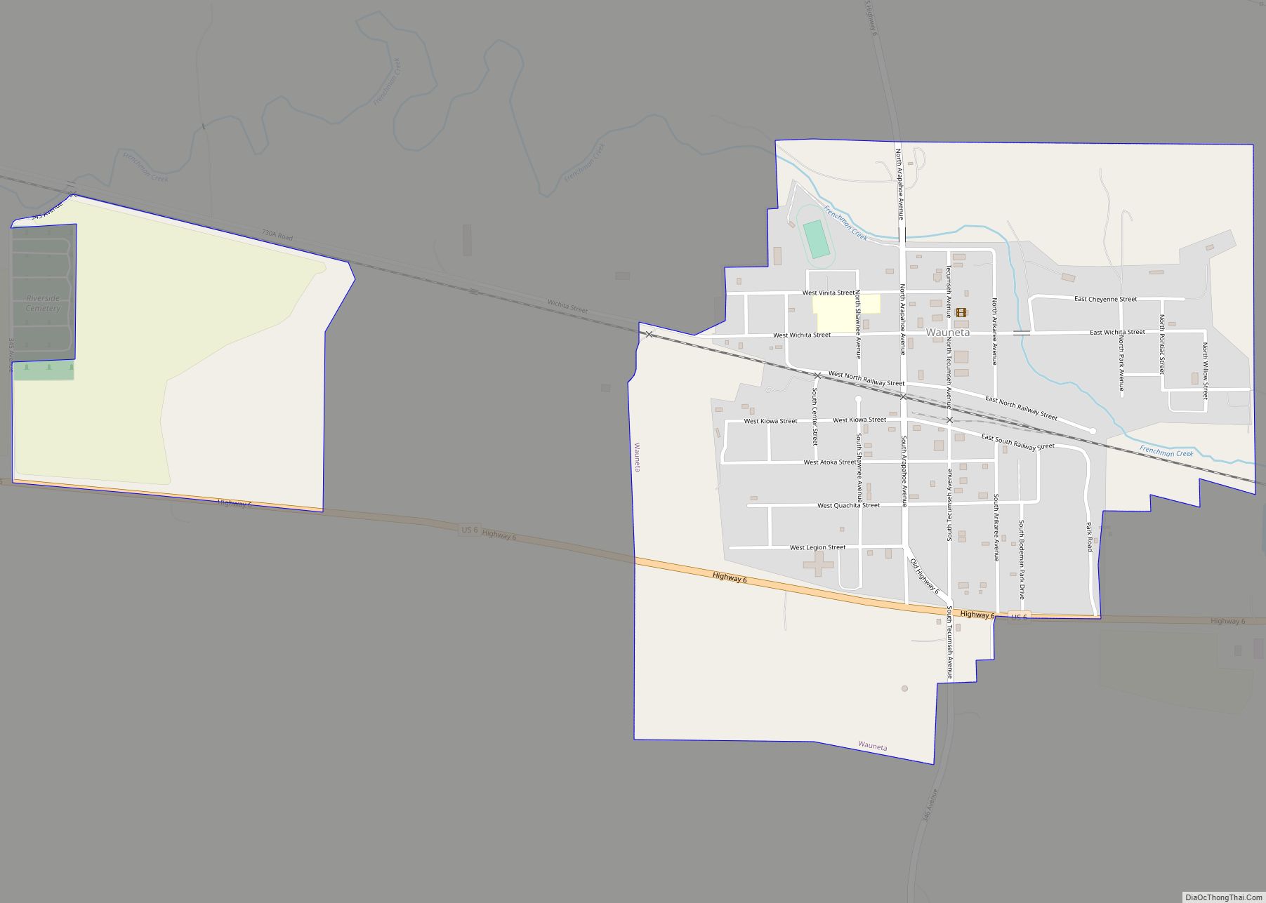
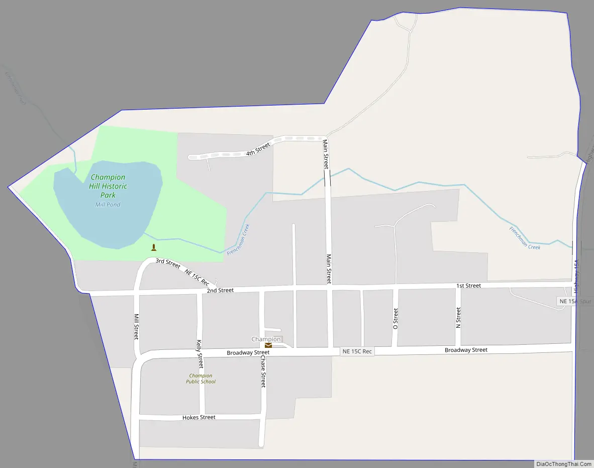
Champion Road Map
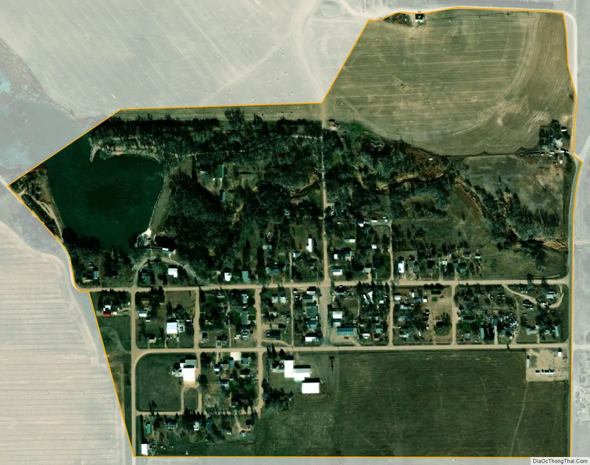
Champion city Satellite Map
Geography
Champion lies in the valley of Frenchman Creek, a tributary of the Republican River, near the Champion Mill Park, 7 miles (11 km) southwest of the city of Imperial, the county seat of Chase County. Its elevation is 3,271 feet (997 m) above sea level.
See also
Map of Nebraska State and its subdivision:- Adams
- Antelope
- Arthur
- Banner
- Blaine
- Boone
- Box Butte
- Boyd
- Brown
- Buffalo
- Burt
- Butler
- Cass
- Cedar
- Chase
- Cherry
- Cheyenne
- Clay
- Colfax
- Cuming
- Custer
- Dakota
- Dawes
- Dawson
- Deuel
- Dixon
- Dodge
- Douglas
- Dundy
- Fillmore
- Franklin
- Frontier
- Furnas
- Gage
- Garden
- Garfield
- Gosper
- Grant
- Greeley
- Hall
- Hamilton
- Harlan
- Hayes
- Hitchcock
- Holt
- Hooker
- Howard
- Jefferson
- Johnson
- Kearney
- Keith
- Keya Paha
- Kimball
- Knox
- Lancaster
- Lincoln
- Logan
- Loup
- Madison
- McPherson
- Merrick
- Morrill
- Nance
- Nemaha
- Nuckolls
- Otoe
- Pawnee
- Perkins
- Phelps
- Pierce
- Platte
- Polk
- Red Willow
- Richardson
- Rock
- Saline
- Sarpy
- Saunders
- Scotts Bluff
- Seward
- Sheridan
- Sherman
- Sioux
- Stanton
- Thayer
- Thomas
- Thurston
- Valley
- Washington
- Wayne
- Webster
- Wheeler
- York
- Alabama
- Alaska
- Arizona
- Arkansas
- California
- Colorado
- Connecticut
- Delaware
- District of Columbia
- Florida
- Georgia
- Hawaii
- Idaho
- Illinois
- Indiana
- Iowa
- Kansas
- Kentucky
- Louisiana
- Maine
- Maryland
- Massachusetts
- Michigan
- Minnesota
- Mississippi
- Missouri
- Montana
- Nebraska
- Nevada
- New Hampshire
- New Jersey
- New Mexico
- New York
- North Carolina
- North Dakota
- Ohio
- Oklahoma
- Oregon
- Pennsylvania
- Rhode Island
- South Carolina
- South Dakota
- Tennessee
- Texas
- Utah
- Vermont
- Virginia
- Washington
- West Virginia
- Wisconsin
- Wyoming