Cozad is a city in Dawson County, Nebraska, United States. The population was 3,977 at the 2010 census. The town is on the Great Plains of central Nebraska, along the Union Pacific Railroad and U.S. Route 30, just north of the Platte River. The 100th meridian, which roughly marks the eastward boundary of the arid plains, passes just west of the town as is marked nearby on a prominent sign across U.S. 30. In the early 1860s, the meridian was a stop along the Pony Express.
| Name: | Cozad city |
|---|---|
| LSAD Code: | 25 |
| LSAD Description: | city (suffix) |
| State: | Nebraska |
| County: | Dawson County |
| Elevation: | 2,490 ft (759 m) |
| Total Area: | 2.62 sq mi (6.77 km²) |
| Land Area: | 2.62 sq mi (6.77 km²) |
| Water Area: | 0.00 sq mi (0.00 km²) |
| Total Population: | 3,988 |
| Population Density: | 1,524.46/sq mi (588.64/km²) |
| ZIP code: | 69130 |
| Area code: | 308 |
| FIPS code: | 3111020 |
| GNISfeature ID: | 0828431 |
| Website: | cozadnebraska.net |
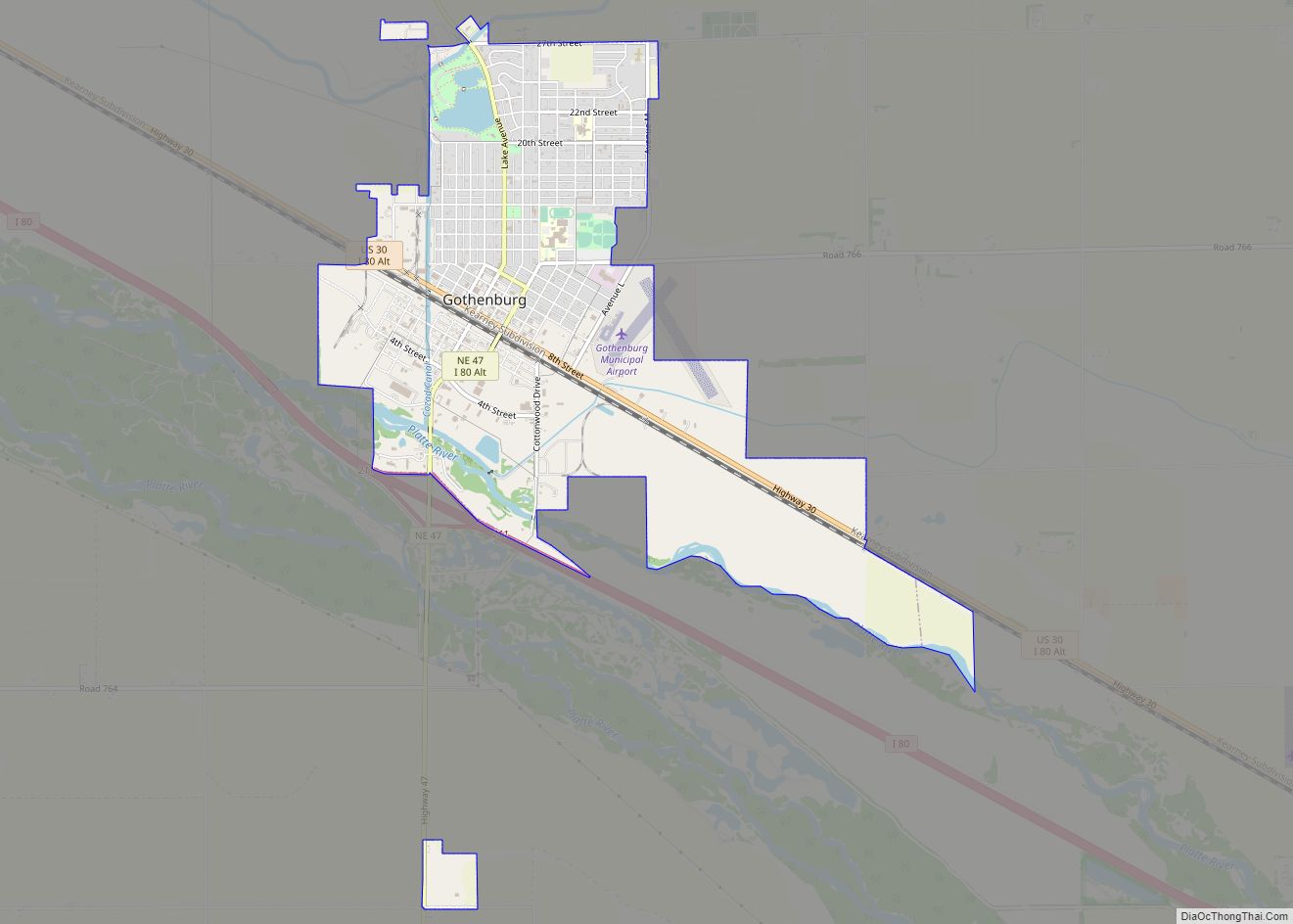
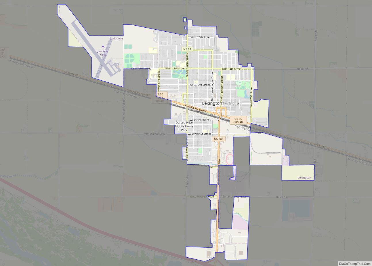
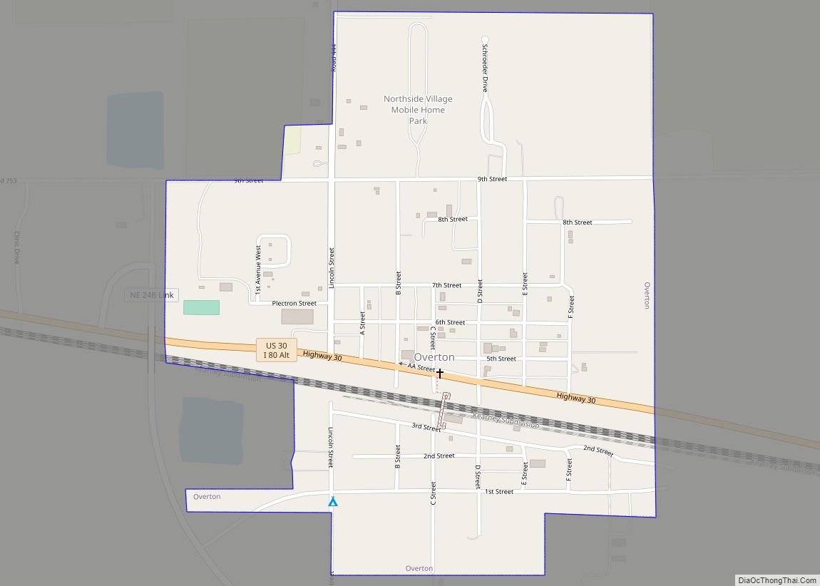
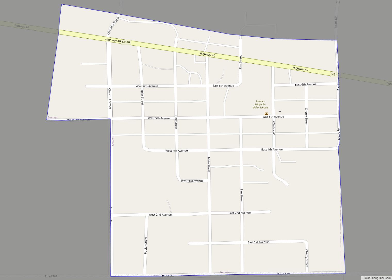
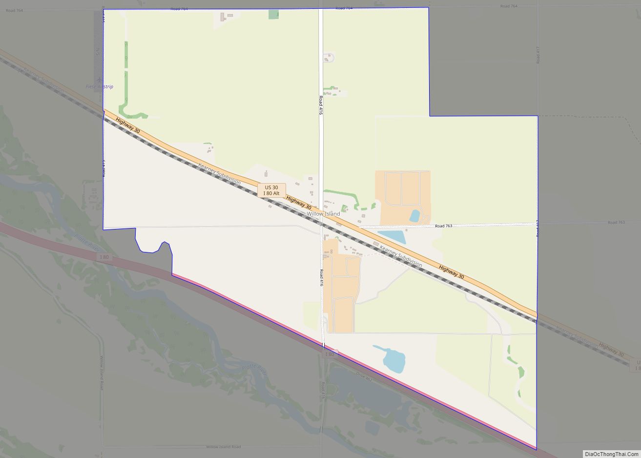
Online Interactive Map
Click on ![]() to view map in "full screen" mode.
to view map in "full screen" mode.
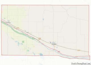
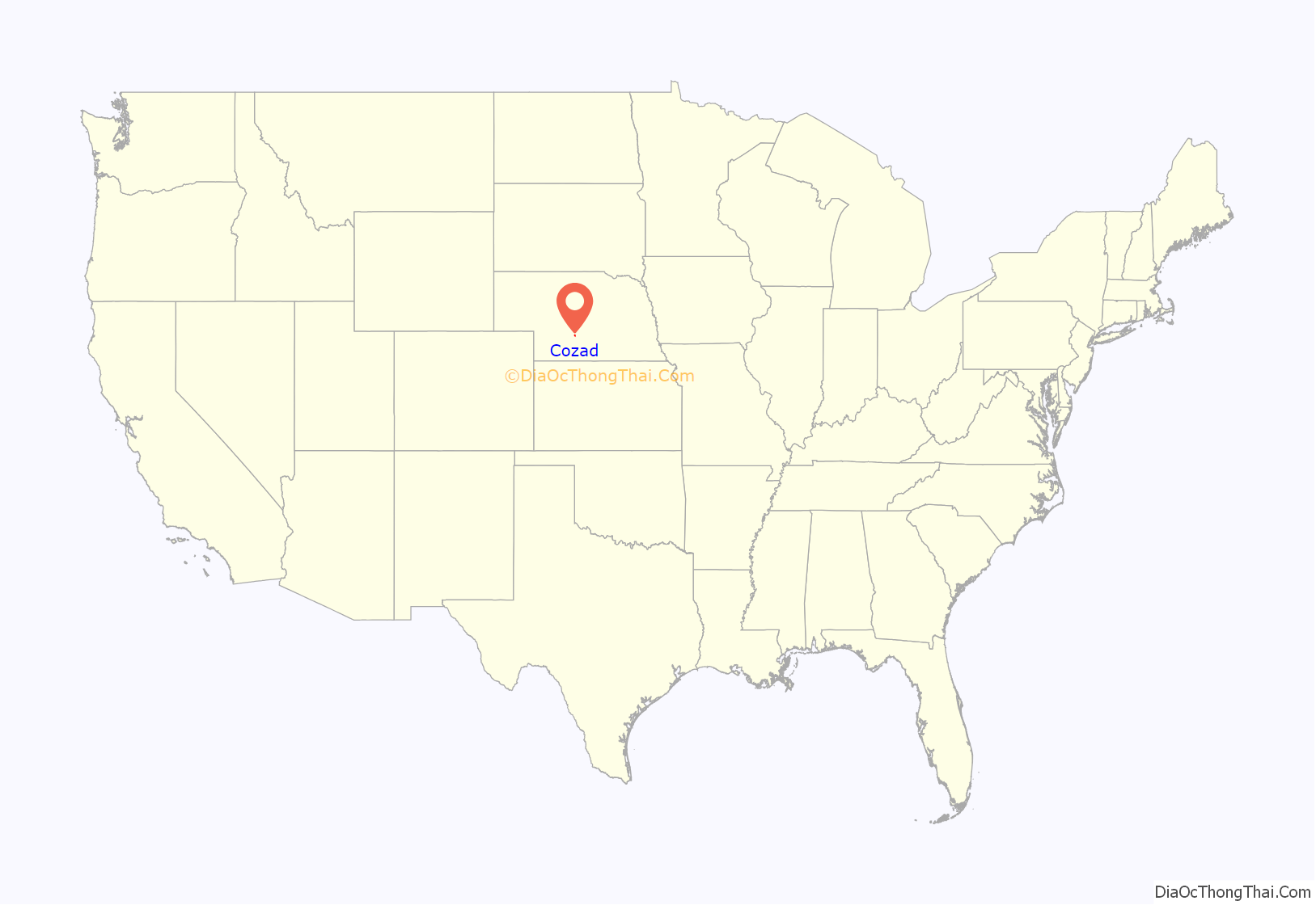
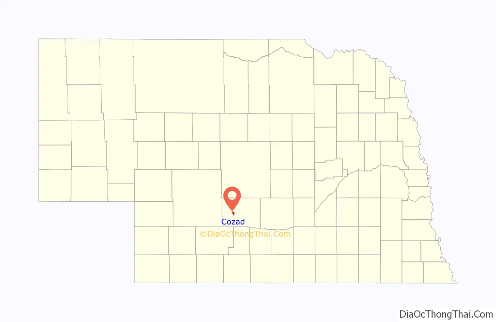
Cozad location map. Where is Cozad city?
History
Cozad was founded in 1873 by John J. Cozad, murderer, gambler, Ohio native, and father of painter Robert Henri. Cozad was often regarded as immoral among the citizens of the early town. He purchased 40,000 acres of land from the Union Pacific Railroad and laid out the future town. He built houses on some of the land to entice people to settle. He sold off most of the land to future residents who named the town after him. Cozad also founded Cozaddale, Ohio, a small, unincorporated village 25 miles northeast of Cincinnati.
The city includes at least two museums: the 100th Meridian Museum and the Robert Henri Museum.
The Cozad Downtown Historic District, an area roughly bounded by 9th, 7th, H & F Sts., was listed on the National Register of Historic Places in 2018. The Hendee Hotel, today the main building of the Robert Henri Museum, and Allen’s Opera House are also NRHP-listed.
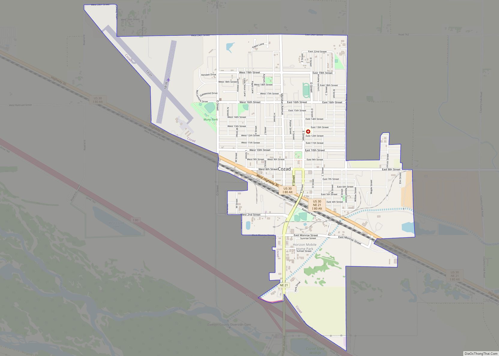
Cozad Road Map
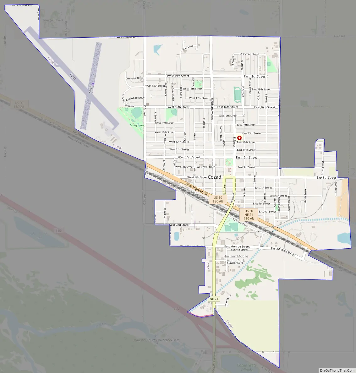
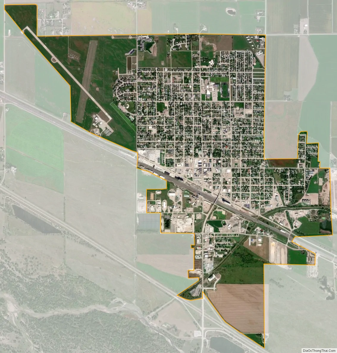
Cozad city Satellite Map
Geography
Cozad is located at 40°51′44″N 99°59′3″W / 40.86222°N 99.98417°W / 40.86222; -99.98417 (40.862141, -99.984082).
According to the United States Census Bureau, the city has a total area of 2.62 square miles (6.79 km), all land.
See also
Map of Nebraska State and its subdivision:- Adams
- Antelope
- Arthur
- Banner
- Blaine
- Boone
- Box Butte
- Boyd
- Brown
- Buffalo
- Burt
- Butler
- Cass
- Cedar
- Chase
- Cherry
- Cheyenne
- Clay
- Colfax
- Cuming
- Custer
- Dakota
- Dawes
- Dawson
- Deuel
- Dixon
- Dodge
- Douglas
- Dundy
- Fillmore
- Franklin
- Frontier
- Furnas
- Gage
- Garden
- Garfield
- Gosper
- Grant
- Greeley
- Hall
- Hamilton
- Harlan
- Hayes
- Hitchcock
- Holt
- Hooker
- Howard
- Jefferson
- Johnson
- Kearney
- Keith
- Keya Paha
- Kimball
- Knox
- Lancaster
- Lincoln
- Logan
- Loup
- Madison
- McPherson
- Merrick
- Morrill
- Nance
- Nemaha
- Nuckolls
- Otoe
- Pawnee
- Perkins
- Phelps
- Pierce
- Platte
- Polk
- Red Willow
- Richardson
- Rock
- Saline
- Sarpy
- Saunders
- Scotts Bluff
- Seward
- Sheridan
- Sherman
- Sioux
- Stanton
- Thayer
- Thomas
- Thurston
- Valley
- Washington
- Wayne
- Webster
- Wheeler
- York
- Alabama
- Alaska
- Arizona
- Arkansas
- California
- Colorado
- Connecticut
- Delaware
- District of Columbia
- Florida
- Georgia
- Hawaii
- Idaho
- Illinois
- Indiana
- Iowa
- Kansas
- Kentucky
- Louisiana
- Maine
- Maryland
- Massachusetts
- Michigan
- Minnesota
- Mississippi
- Missouri
- Montana
- Nebraska
- Nevada
- New Hampshire
- New Jersey
- New Mexico
- New York
- North Carolina
- North Dakota
- Ohio
- Oklahoma
- Oregon
- Pennsylvania
- Rhode Island
- South Carolina
- South Dakota
- Tennessee
- Texas
- Utah
- Vermont
- Virginia
- Washington
- West Virginia
- Wisconsin
- Wyoming