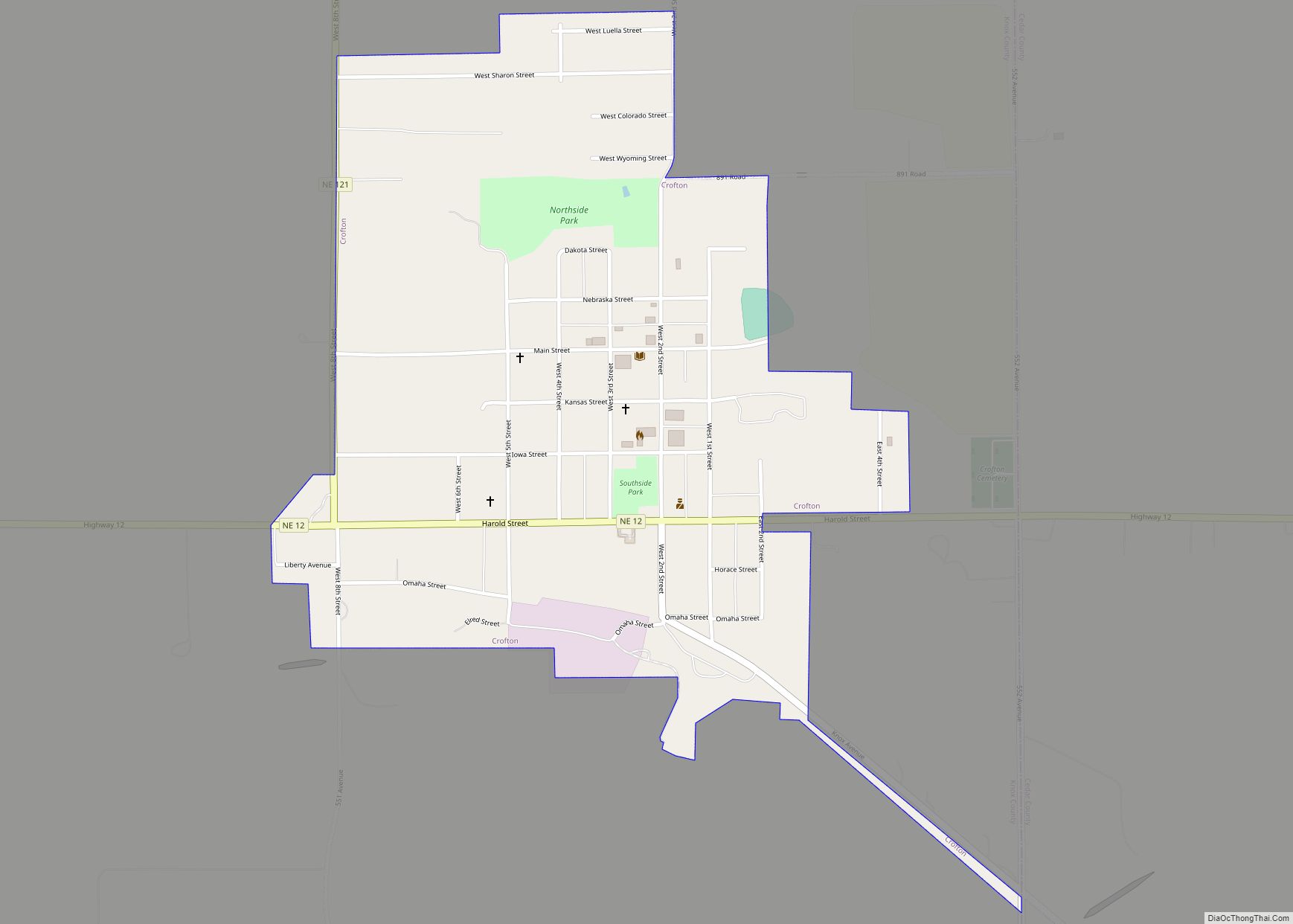
Crofton is a city in Knox County, Nebraska, United States. The population was 726 at the 2010 census.
| Name: | Crofton city |
|---|---|
| LSAD Code: | 25 |
| LSAD Description: | city (suffix) |
| State: | Nebraska |
| County: | Knox County |
| Elevation: | 1,421 ft (433 m) |
| Total Area: | 0.64 sq mi (1.66 km²) |
| Land Area: | 0.64 sq mi (1.66 km²) |
| Water Area: | 0.00 sq mi (0.00 km²) |
| Total Population: | 756 |
| Population Density: | 1,181.25/sq mi (456.39/km²) |
| ZIP code: | 68730 |
| Area code: | 402 |
| FIPS code: | 3111440 |
| GNISfeature ID: | 0828463 |
| Website: | city-of-crofton.com |
Online Interactive Map
Click on ![]() to view map in "full screen" mode.
to view map in "full screen" mode.
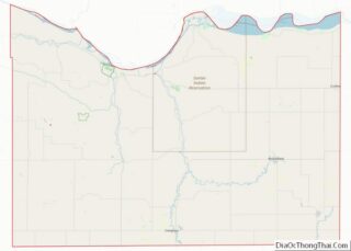
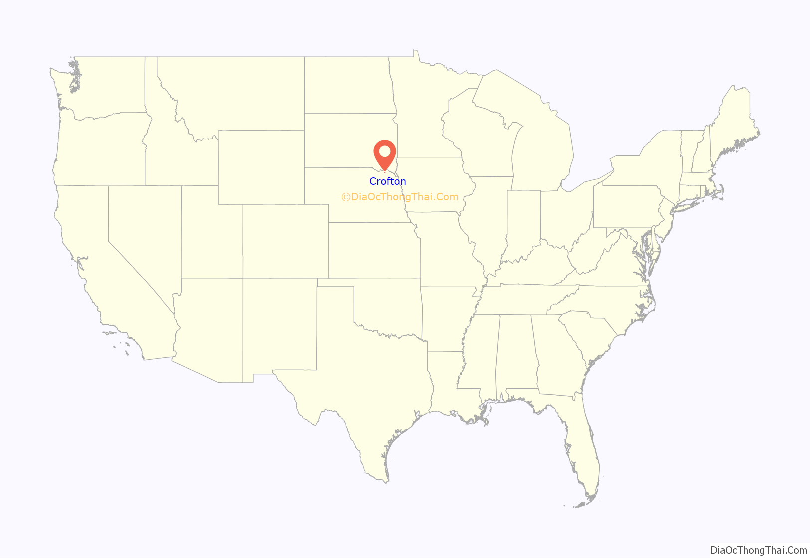
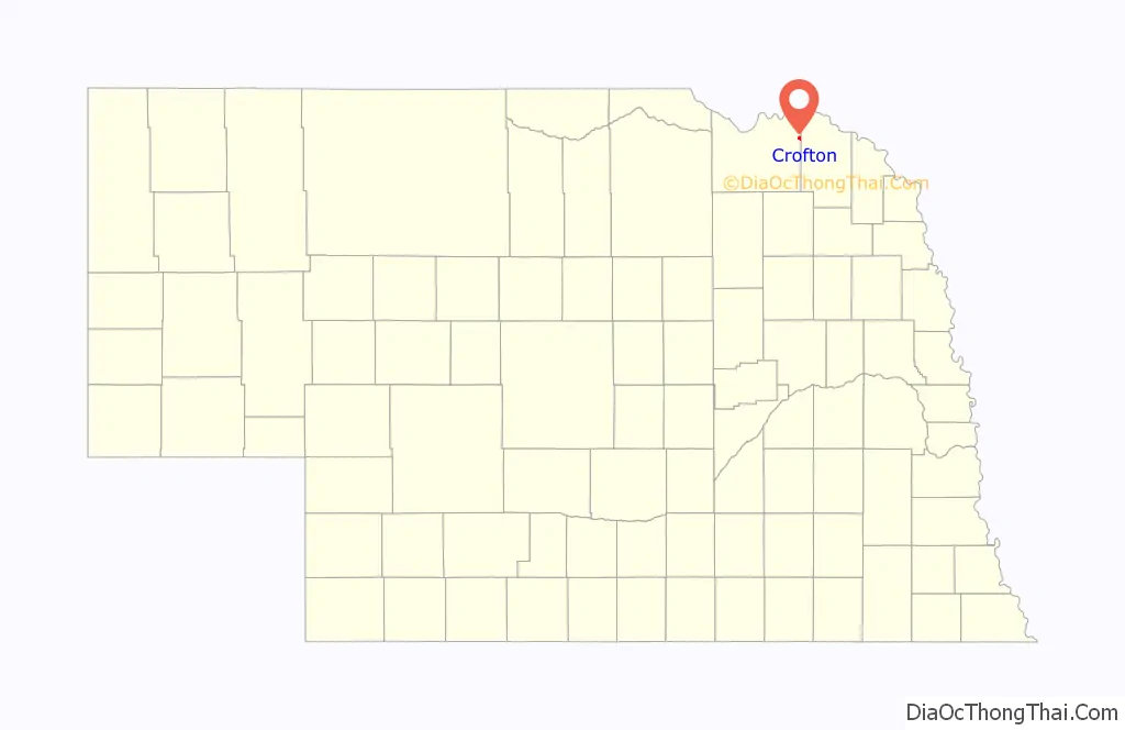
Crofton location map. Where is Crofton city?
History
Crofton was platted in 1892. The city was named after Crofton Court, England, the former estate of a railroad promoter.
Gavins Point Dam was constructed from 1952 to 1957 by the U.S. Army Corps of Engineers and impounds Lewis and Clark Lake on the Missouri River. The dam is located approximately 10 miles north of Crofton.
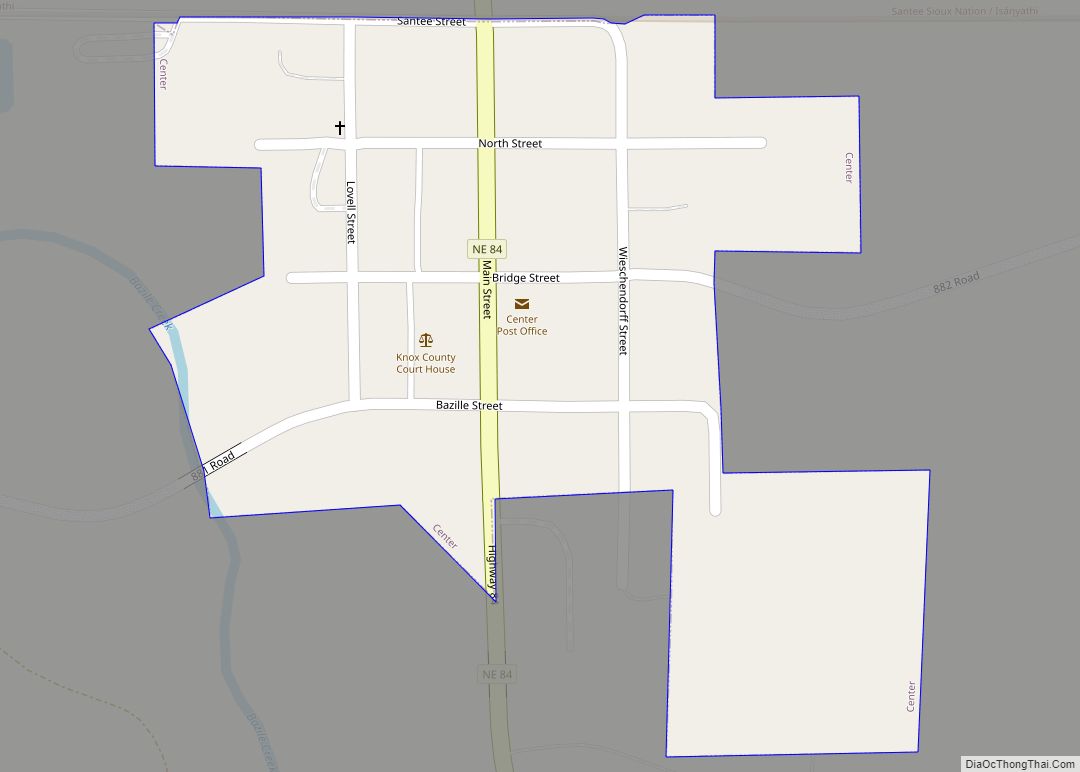
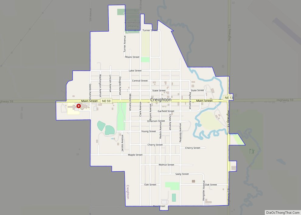
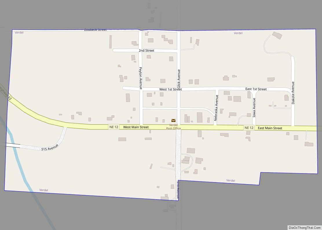
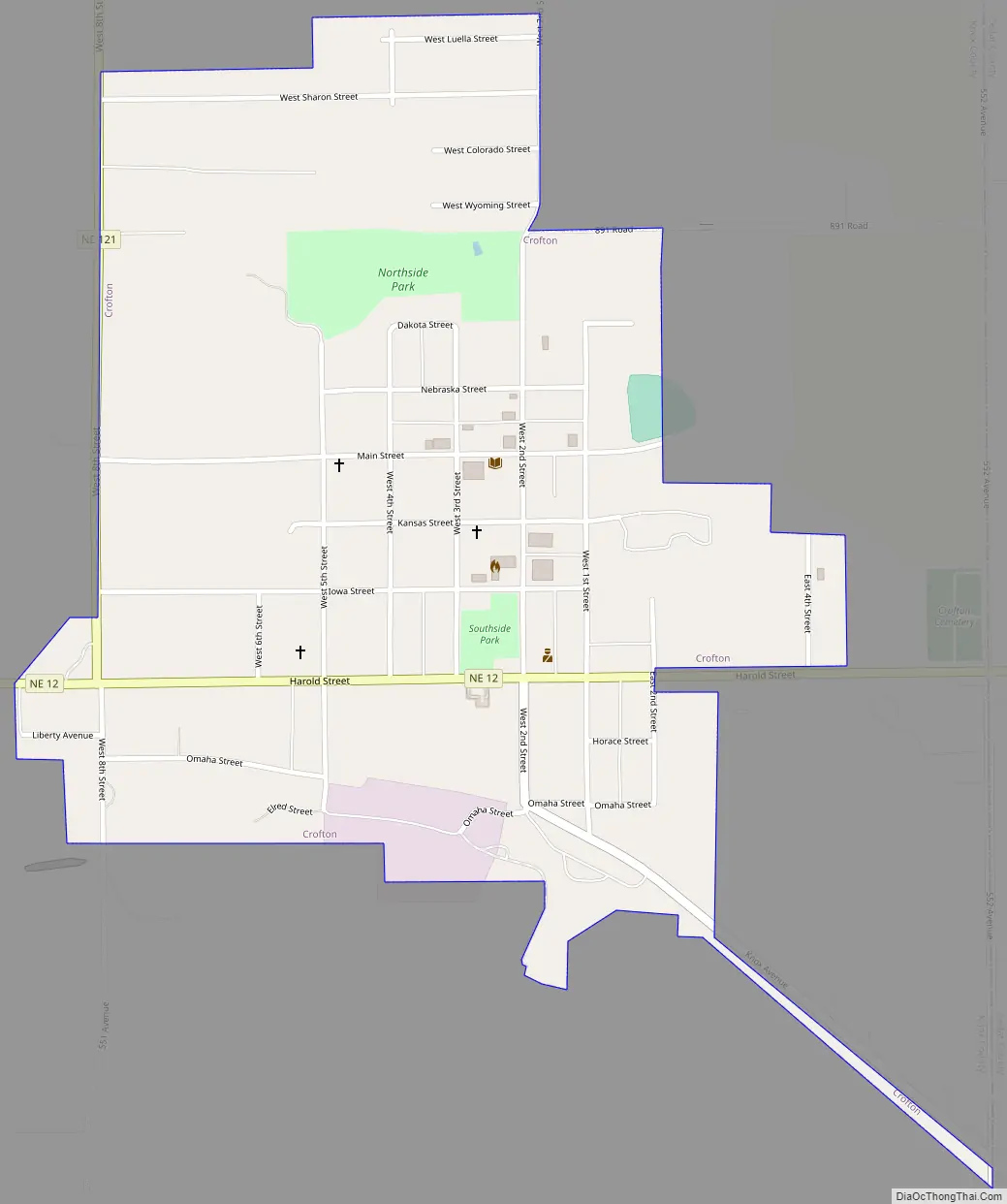
Crofton Road Map
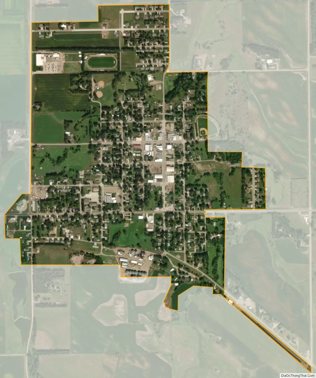
Crofton city Satellite Map
Geography
Crofton is located at 42°43′50″N 97°29′53″W / 42.73056°N 97.49806°W / 42.73056; -97.49806 (42.730691, -97.497997).
According to the United States Census Bureau, the city has a total area of 0.64 square miles (1.66 km), all land.
See also
Map of Nebraska State and its subdivision:- Adams
- Antelope
- Arthur
- Banner
- Blaine
- Boone
- Box Butte
- Boyd
- Brown
- Buffalo
- Burt
- Butler
- Cass
- Cedar
- Chase
- Cherry
- Cheyenne
- Clay
- Colfax
- Cuming
- Custer
- Dakota
- Dawes
- Dawson
- Deuel
- Dixon
- Dodge
- Douglas
- Dundy
- Fillmore
- Franklin
- Frontier
- Furnas
- Gage
- Garden
- Garfield
- Gosper
- Grant
- Greeley
- Hall
- Hamilton
- Harlan
- Hayes
- Hitchcock
- Holt
- Hooker
- Howard
- Jefferson
- Johnson
- Kearney
- Keith
- Keya Paha
- Kimball
- Knox
- Lancaster
- Lincoln
- Logan
- Loup
- Madison
- McPherson
- Merrick
- Morrill
- Nance
- Nemaha
- Nuckolls
- Otoe
- Pawnee
- Perkins
- Phelps
- Pierce
- Platte
- Polk
- Red Willow
- Richardson
- Rock
- Saline
- Sarpy
- Saunders
- Scotts Bluff
- Seward
- Sheridan
- Sherman
- Sioux
- Stanton
- Thayer
- Thomas
- Thurston
- Valley
- Washington
- Wayne
- Webster
- Wheeler
- York
- Alabama
- Alaska
- Arizona
- Arkansas
- California
- Colorado
- Connecticut
- Delaware
- District of Columbia
- Florida
- Georgia
- Hawaii
- Idaho
- Illinois
- Indiana
- Iowa
- Kansas
- Kentucky
- Louisiana
- Maine
- Maryland
- Massachusetts
- Michigan
- Minnesota
- Mississippi
- Missouri
- Montana
- Nebraska
- Nevada
- New Hampshire
- New Jersey
- New Mexico
- New York
- North Carolina
- North Dakota
- Ohio
- Oklahoma
- Oregon
- Pennsylvania
- Rhode Island
- South Carolina
- South Dakota
- Tennessee
- Texas
- Utah
- Vermont
- Virginia
- Washington
- West Virginia
- Wisconsin
- Wyoming