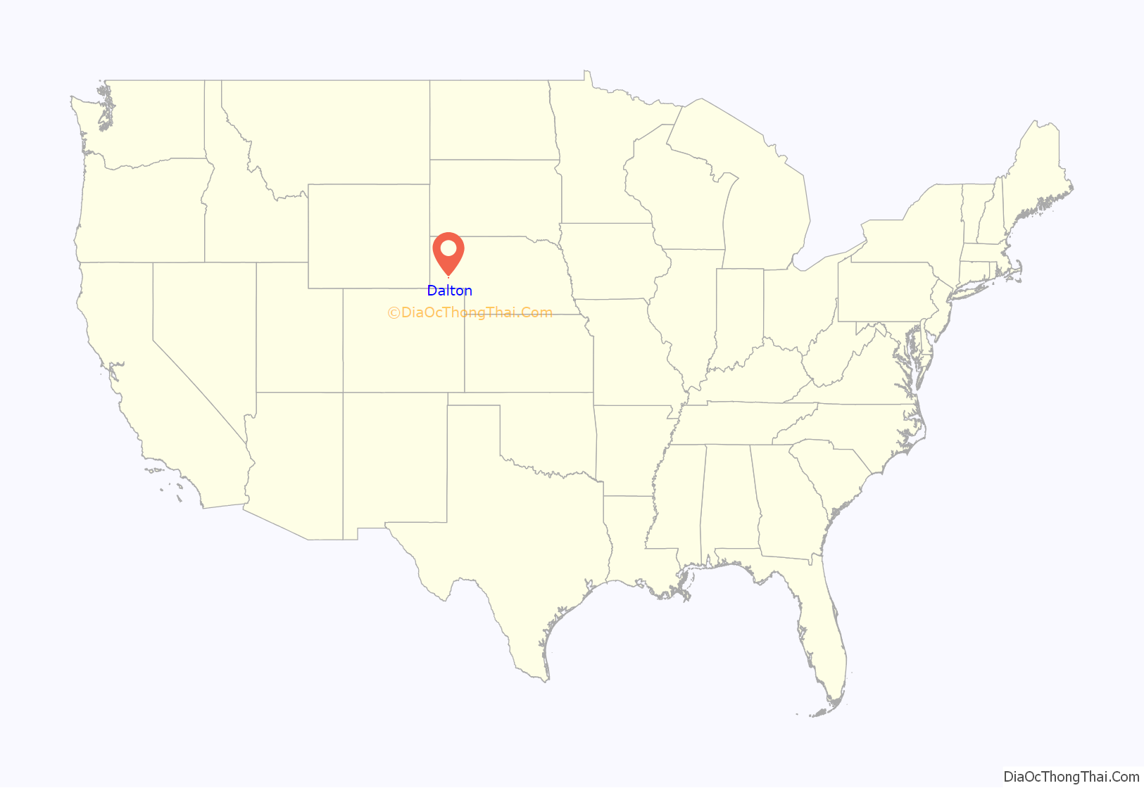
Dalton is a village in Cheyenne County, Nebraska, United States. The population was 315 at the 2010 census.
| Name: | Dalton village |
|---|---|
| LSAD Code: | 47 |
| LSAD Description: | village (suffix) |
| State: | Nebraska |
| County: | Cheyenne County |
| Elevation: | 4,262 ft (1,299 m) |
| Total Area: | 0.34 sq mi (0.89 km²) |
| Land Area: | 0.34 sq mi (0.89 km²) |
| Water Area: | 0.00 sq mi (0.00 km²) |
| Total Population: | 284 |
| Population Density: | 825.58/sq mi (318.80/km²) |
| ZIP code: | 69131 |
| Area code: | 308 |
| FIPS code: | 3112070 |
| GNISfeature ID: | 0828561 |
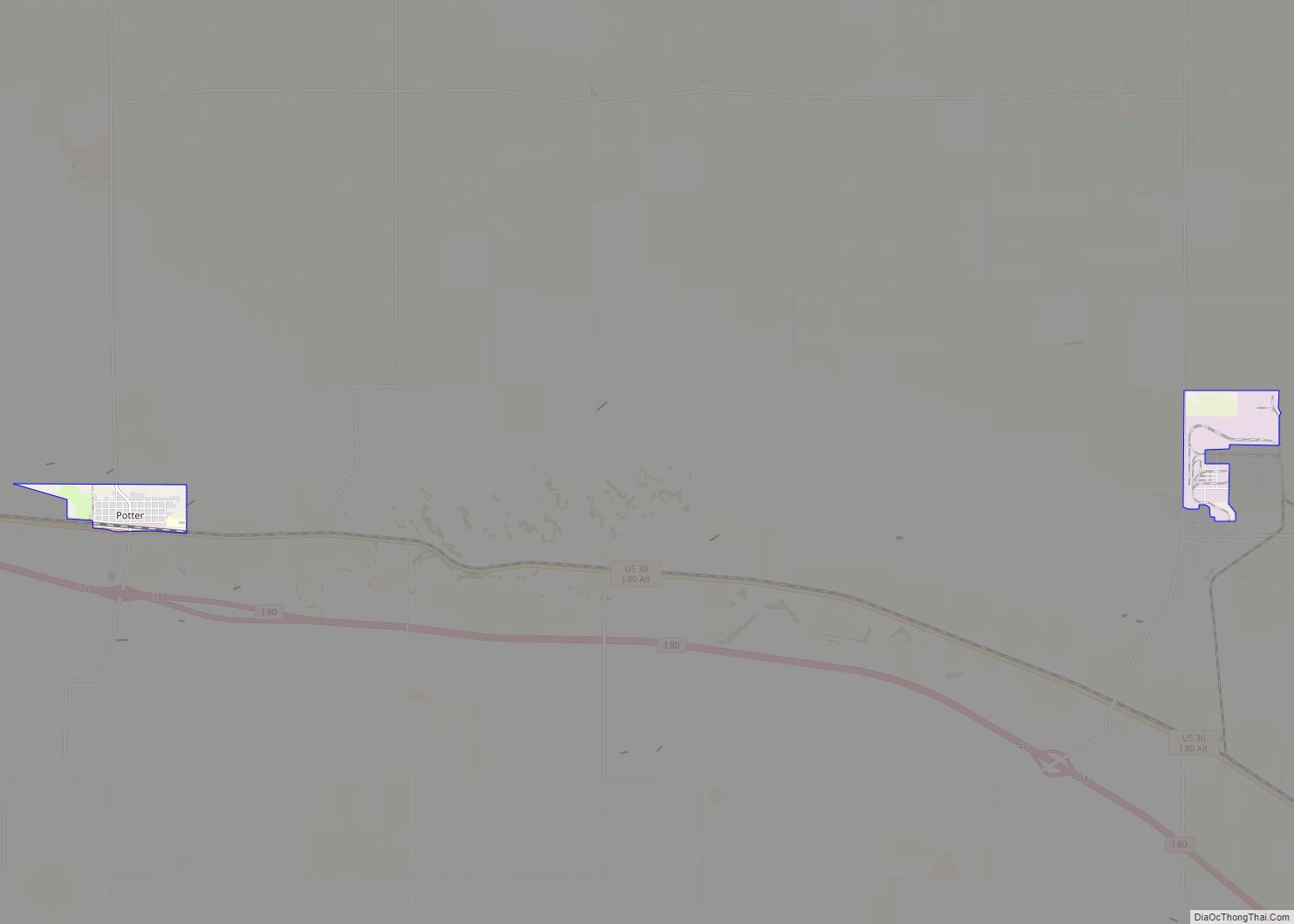
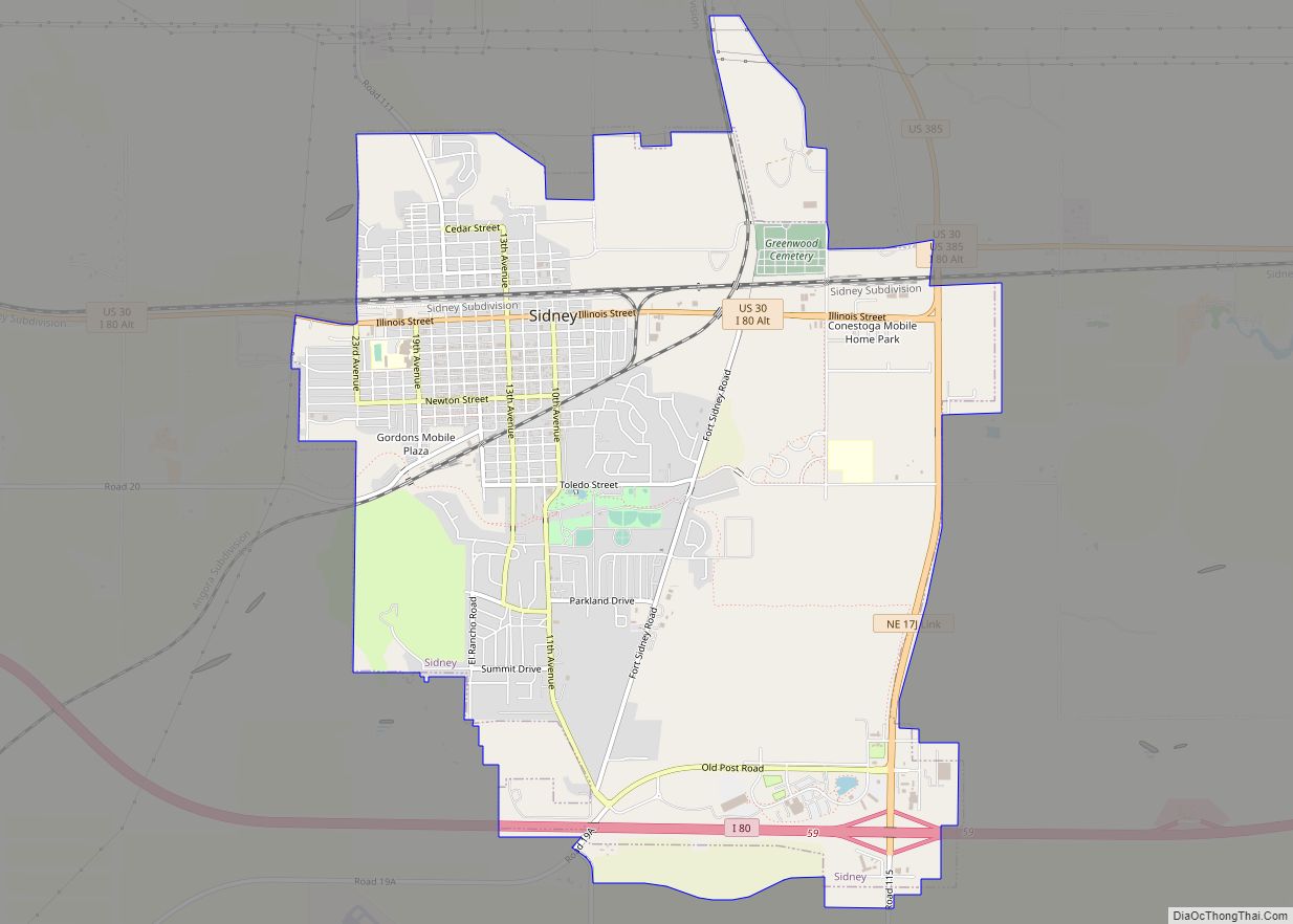
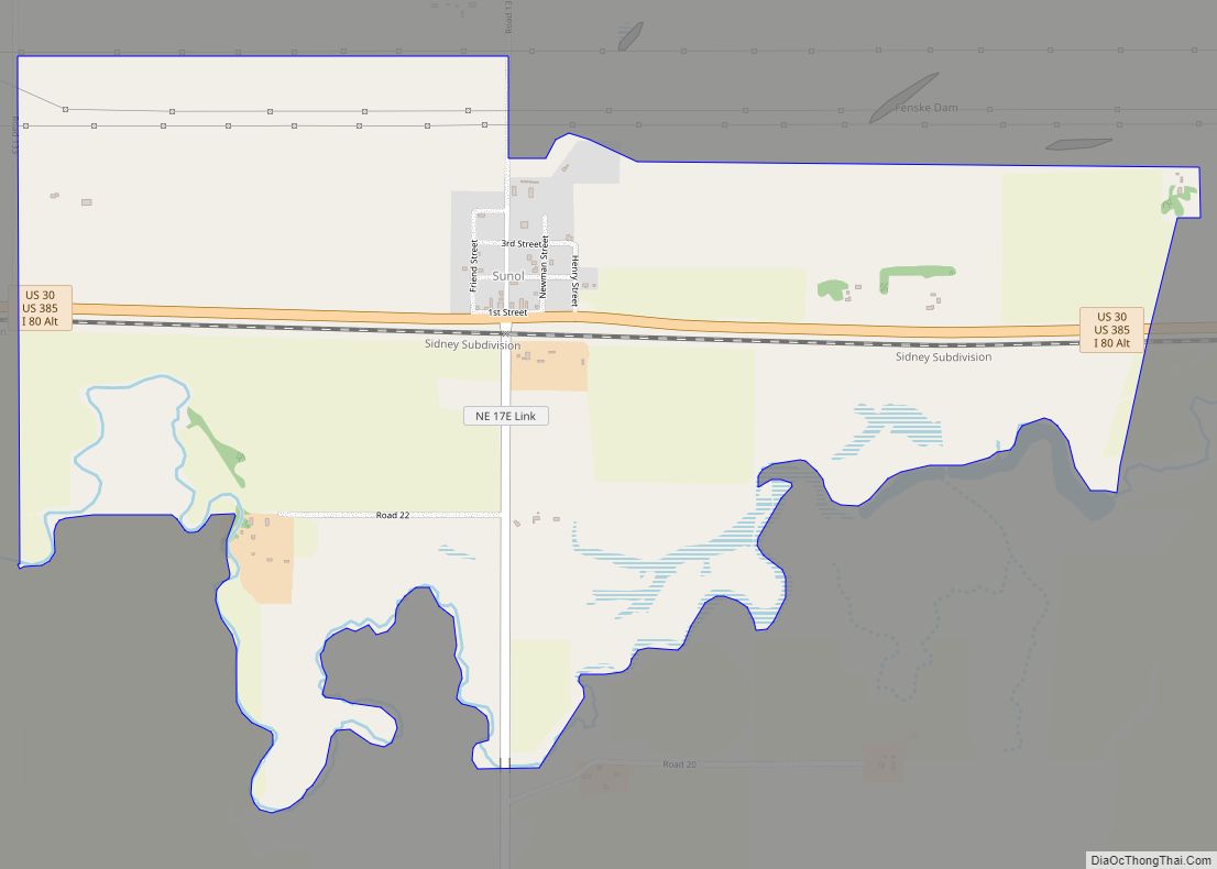
Online Interactive Map
Click on ![]() to view map in "full screen" mode.
to view map in "full screen" mode.
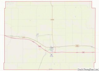
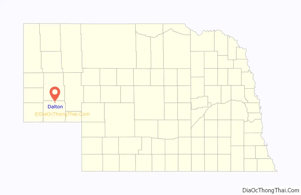
Dalton location map. Where is Dalton village?
History
Early history
Dalton was founded circa 1900 when the Nebraska, Wyoming and Western Railroad was extended to that point. The railroad was certified in 1899 and railroad crews began surveying potential routes in Cheyenne County. In January 1900, the railroad purchased 150 acres of land from the Union Pacific Railroad, which had received the land in a land grant in 1867. The newly purchased land became a transportation hub for the Nebraska, Wyoming and Western Railroad, and the small town of Dalton that developed on the land became one of the work stations for the railroad. By September 1900, the railroad offered daily freight and passenger transportation north to Deadwood, South Dakota and south to Denver, Colorado from Dalton.
Post Office
The Dalton post office was established June 7, 1902 and Warren Woolsey was named the first postmaster.
Newspaper
The Dalton Herald was the first newspaper that was published in Dalton. It began publication in 1909 but did not remain in publication for long, although it remains unknown when exactly it went out of publication. The Dalton Delegate replaced the Herald in 1914 and was published every Friday until it went out of publication in September 1951.
Name Origins
The true origin of Dalton’s name remains a mystery. Some sources claim that Dalton was likely named after the town of Dalton, Massachusetts. Other sources maintain that Dalton was named after either Patrick Dalton, an early settler, or Patrick J. Dalton, an official of the Burlington Railroad.
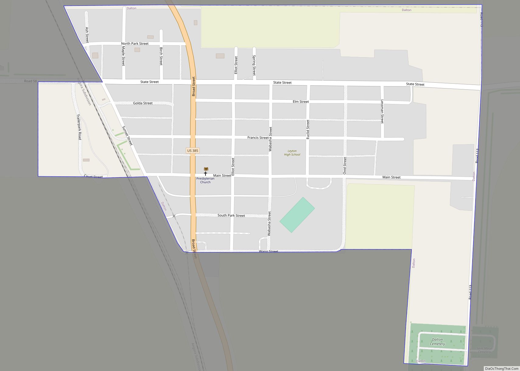
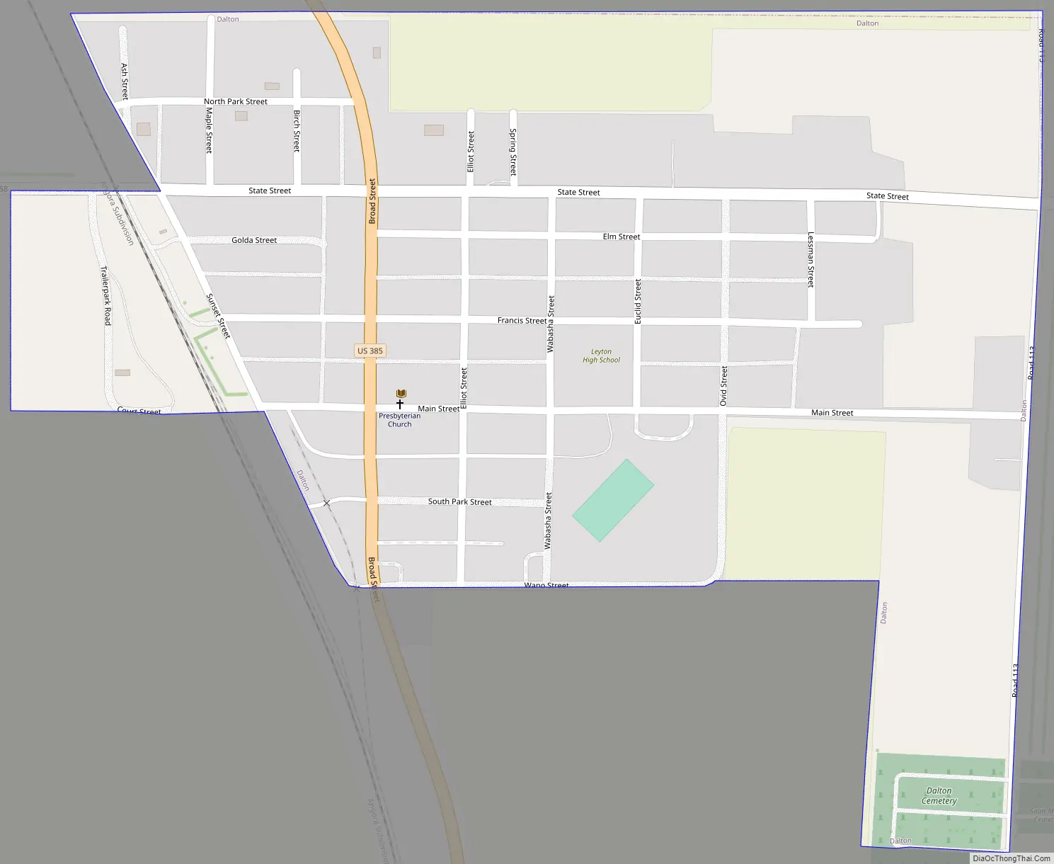
Dalton Road Map
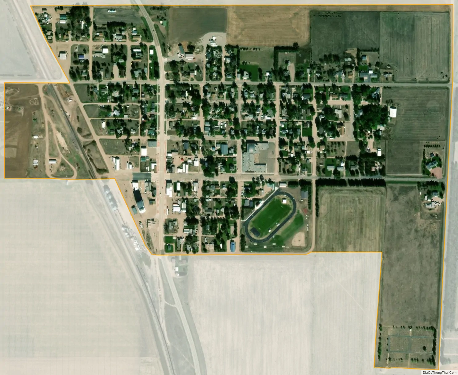
Dalton city Satellite Map
Geography
Dalton is located at 41°24′31″N 102°58′20″W / 41.40861°N 102.97222°W / 41.40861; -102.97222 (41.408685, -102.972195).
According to the United States Census Bureau, the village has a total area of 0.34 square miles (0.88 km), all land.
Climate
See also
Map of Nebraska State and its subdivision:- Adams
- Antelope
- Arthur
- Banner
- Blaine
- Boone
- Box Butte
- Boyd
- Brown
- Buffalo
- Burt
- Butler
- Cass
- Cedar
- Chase
- Cherry
- Cheyenne
- Clay
- Colfax
- Cuming
- Custer
- Dakota
- Dawes
- Dawson
- Deuel
- Dixon
- Dodge
- Douglas
- Dundy
- Fillmore
- Franklin
- Frontier
- Furnas
- Gage
- Garden
- Garfield
- Gosper
- Grant
- Greeley
- Hall
- Hamilton
- Harlan
- Hayes
- Hitchcock
- Holt
- Hooker
- Howard
- Jefferson
- Johnson
- Kearney
- Keith
- Keya Paha
- Kimball
- Knox
- Lancaster
- Lincoln
- Logan
- Loup
- Madison
- McPherson
- Merrick
- Morrill
- Nance
- Nemaha
- Nuckolls
- Otoe
- Pawnee
- Perkins
- Phelps
- Pierce
- Platte
- Polk
- Red Willow
- Richardson
- Rock
- Saline
- Sarpy
- Saunders
- Scotts Bluff
- Seward
- Sheridan
- Sherman
- Sioux
- Stanton
- Thayer
- Thomas
- Thurston
- Valley
- Washington
- Wayne
- Webster
- Wheeler
- York
- Alabama
- Alaska
- Arizona
- Arkansas
- California
- Colorado
- Connecticut
- Delaware
- District of Columbia
- Florida
- Georgia
- Hawaii
- Idaho
- Illinois
- Indiana
- Iowa
- Kansas
- Kentucky
- Louisiana
- Maine
- Maryland
- Massachusetts
- Michigan
- Minnesota
- Mississippi
- Missouri
- Montana
- Nebraska
- Nevada
- New Hampshire
- New Jersey
- New Mexico
- New York
- North Carolina
- North Dakota
- Ohio
- Oklahoma
- Oregon
- Pennsylvania
- Rhode Island
- South Carolina
- South Dakota
- Tennessee
- Texas
- Utah
- Vermont
- Virginia
- Washington
- West Virginia
- Wisconsin
- Wyoming