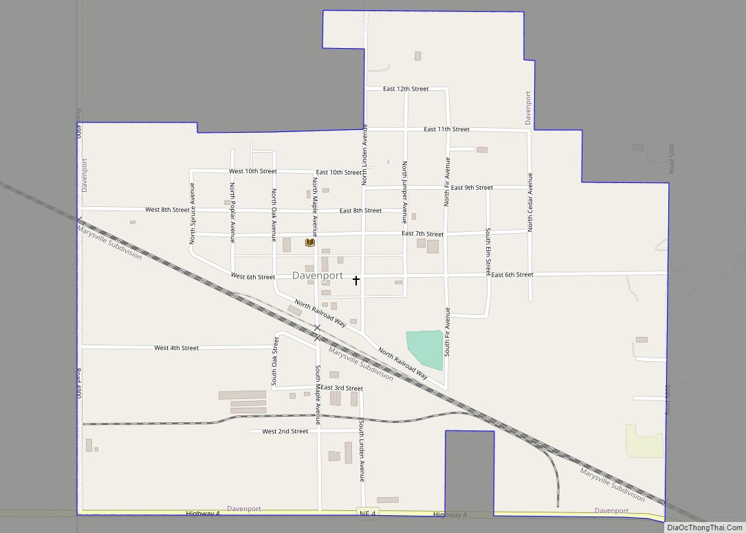
Davenport is a village in Thayer County, Nebraska, United States. The population was 321 at the 2020 census.
| Name: | Davenport village |
|---|---|
| LSAD Code: | 47 |
| LSAD Description: | village (suffix) |
| State: | Nebraska |
| County: | Thayer County |
| Elevation: | 1,654 ft (504 m) |
| Total Area: | 0.65 sq mi (1.69 km²) |
| Land Area: | 0.65 sq mi (1.69 km²) |
| Water Area: | 0.00 sq mi (0.00 km²) |
| Total Population: | 321 |
| Population Density: | 490/sq mi (190/km²) |
| ZIP code: | 68335 |
| Area code: | 402 |
| FIPS code: | 3112245 |
| GNISfeature ID: | 0828584 |
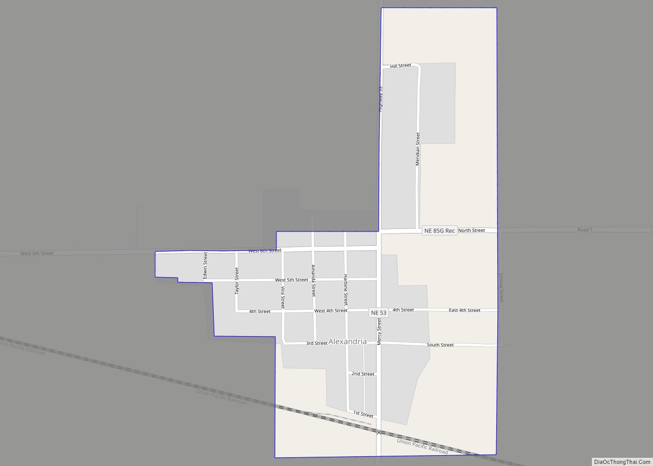
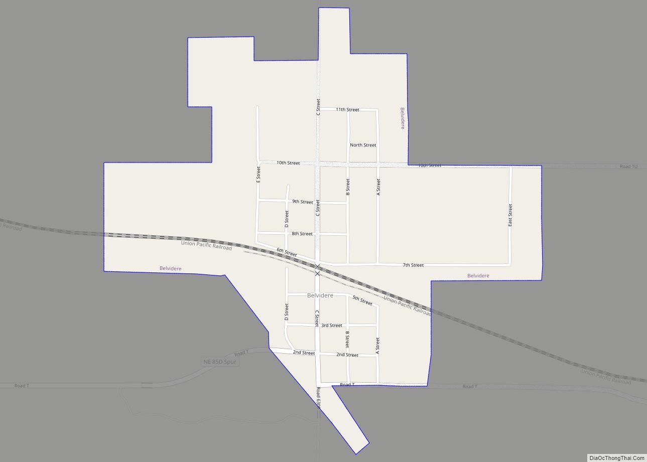
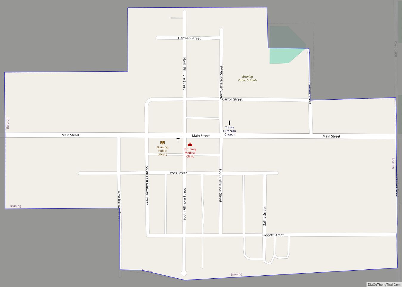
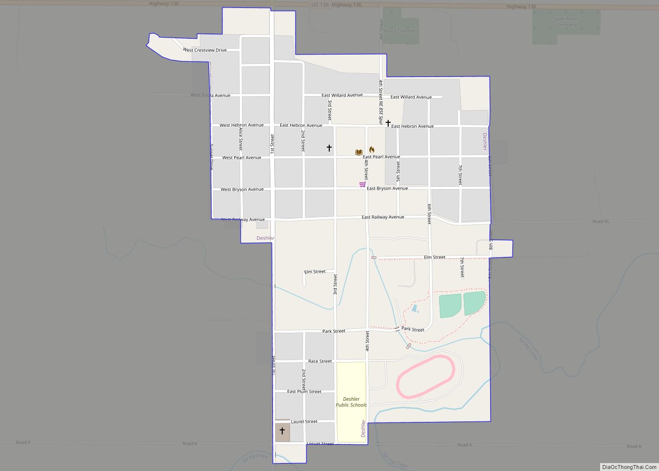
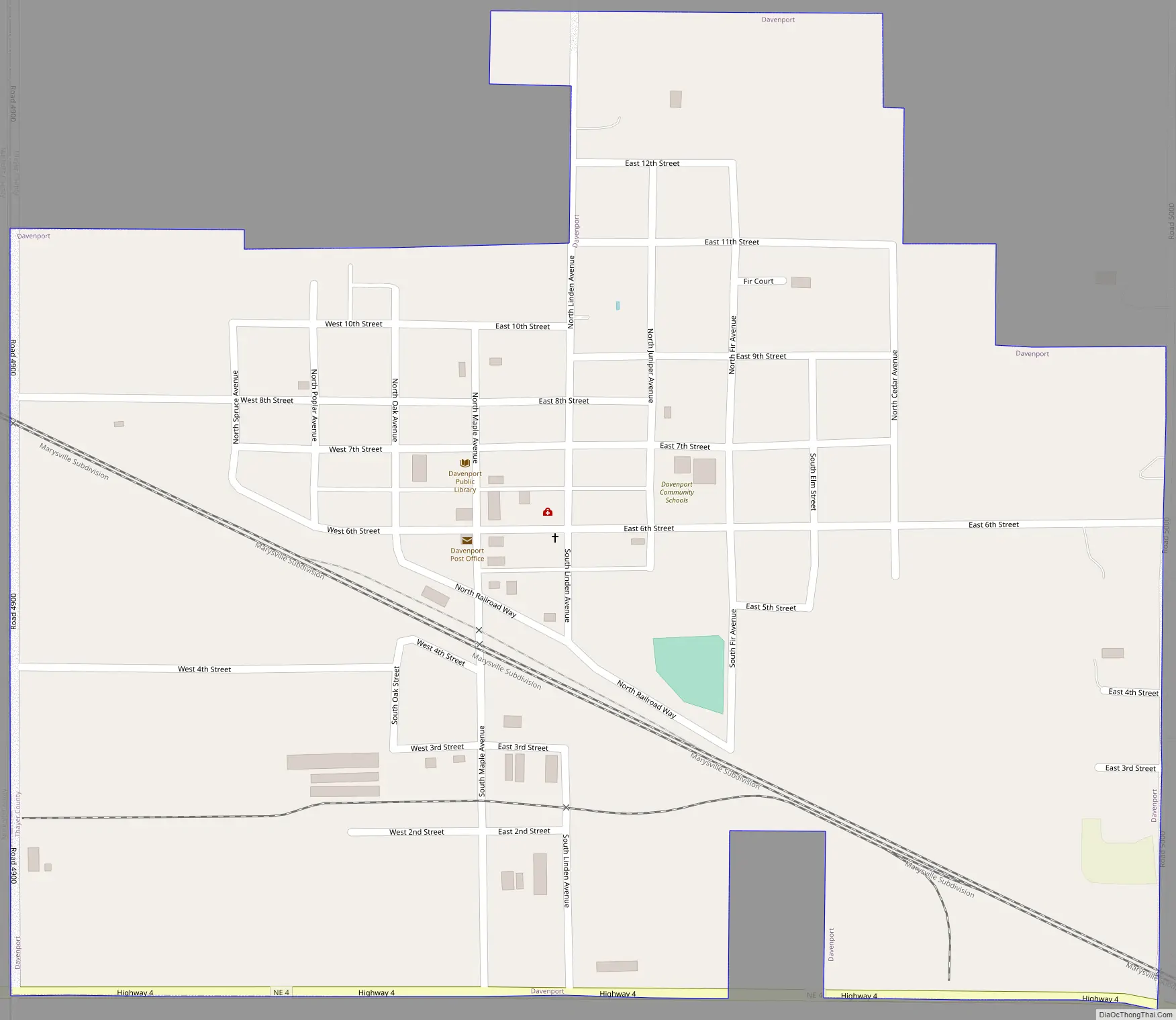
Online Interactive Map
Click on ![]() to view map in "full screen" mode.
to view map in "full screen" mode.
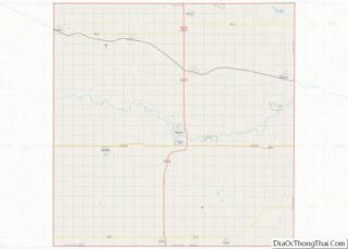
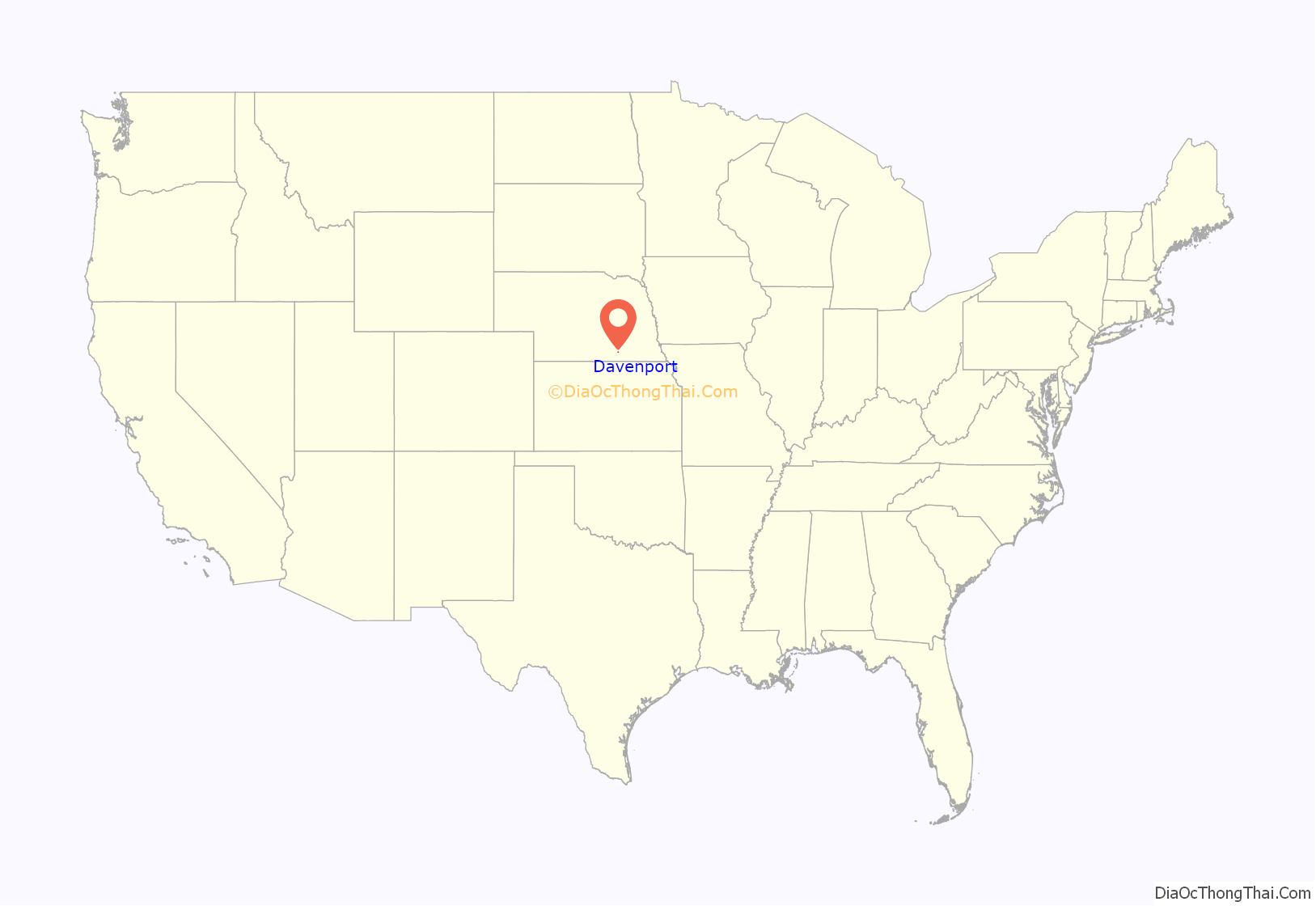
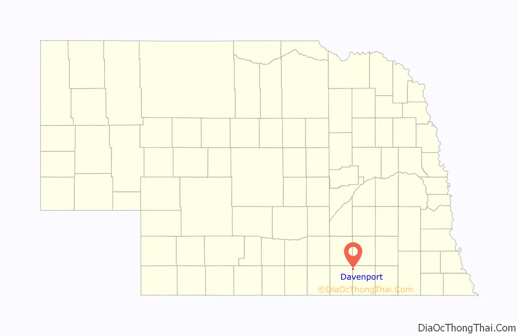
Davenport location map. Where is Davenport village?
History
In 1872, the village was platted by the Nebraska Land and Town Company, and the St. Joseph and Denver City railroad line (later taken over by Union Pacific) was built through the site of village. It was named after Davenport, Iowa. In 1887, the village was officially incorporated. In 1888, North Western Railroad also built a line through the village. Two railroad lines with passenger and freight service brought much business to the village and helped support several hotels.
The public school was established in 1877. A Methodist Society was organized in 1881, a Church of Christ in 1882, Christ’s Lutheran Church in 1892, and St. Peter’s Lutheran in 1912.
Major fires destroyed large sections of the business district in 1889, 1917, and 2011.
Also, a Lutheran school once existed, St. Peters Lutheran School, but was closed in 2010 because of lack of students.
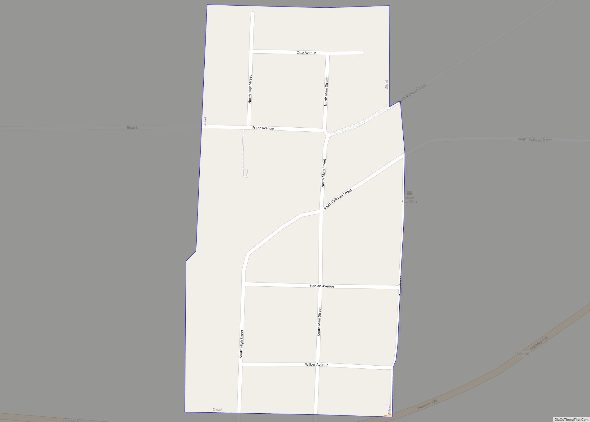
Davenport Road Map
Davenport city Satellite Map

Geography
Davenport is located at 40°18′48″N 97°48′45″W / 40.313312°N 97.812490°W / 40.313312; -97.812490 (40.313312, -97.812490).
According to the United States Census Bureau, the village has a total area of 0.65 square miles (1.68 km), all land.
See also
Map of Nebraska State and its subdivision:- Adams
- Antelope
- Arthur
- Banner
- Blaine
- Boone
- Box Butte
- Boyd
- Brown
- Buffalo
- Burt
- Butler
- Cass
- Cedar
- Chase
- Cherry
- Cheyenne
- Clay
- Colfax
- Cuming
- Custer
- Dakota
- Dawes
- Dawson
- Deuel
- Dixon
- Dodge
- Douglas
- Dundy
- Fillmore
- Franklin
- Frontier
- Furnas
- Gage
- Garden
- Garfield
- Gosper
- Grant
- Greeley
- Hall
- Hamilton
- Harlan
- Hayes
- Hitchcock
- Holt
- Hooker
- Howard
- Jefferson
- Johnson
- Kearney
- Keith
- Keya Paha
- Kimball
- Knox
- Lancaster
- Lincoln
- Logan
- Loup
- Madison
- McPherson
- Merrick
- Morrill
- Nance
- Nemaha
- Nuckolls
- Otoe
- Pawnee
- Perkins
- Phelps
- Pierce
- Platte
- Polk
- Red Willow
- Richardson
- Rock
- Saline
- Sarpy
- Saunders
- Scotts Bluff
- Seward
- Sheridan
- Sherman
- Sioux
- Stanton
- Thayer
- Thomas
- Thurston
- Valley
- Washington
- Wayne
- Webster
- Wheeler
- York
- Alabama
- Alaska
- Arizona
- Arkansas
- California
- Colorado
- Connecticut
- Delaware
- District of Columbia
- Florida
- Georgia
- Hawaii
- Idaho
- Illinois
- Indiana
- Iowa
- Kansas
- Kentucky
- Louisiana
- Maine
- Maryland
- Massachusetts
- Michigan
- Minnesota
- Mississippi
- Missouri
- Montana
- Nebraska
- Nevada
- New Hampshire
- New Jersey
- New Mexico
- New York
- North Carolina
- North Dakota
- Ohio
- Oklahoma
- Oregon
- Pennsylvania
- Rhode Island
- South Carolina
- South Dakota
- Tennessee
- Texas
- Utah
- Vermont
- Virginia
- Washington
- West Virginia
- Wisconsin
- Wyoming