Davey is a village in Lancaster County, Nebraska, United States. It is part of the Lincoln, Nebraska Metropolitan Statistical Area. The population was 135 at the 2020 census.
| Name: | Davey village |
|---|---|
| LSAD Code: | 47 |
| LSAD Description: | village (suffix) |
| State: | Nebraska |
| County: | Lancaster County |
| Elevation: | 1,296 ft (395 m) |
| Total Area: | 0.15 sq mi (0.40 km²) |
| Land Area: | 0.15 sq mi (0.40 km²) |
| Water Area: | 0.00 sq mi (0.00 km²) |
| Total Population: | 135 |
| Population Density: | 876.62/sq mi (337.43/km²) |
| ZIP code: | 68336 |
| Area code: | 402 |
| FIPS code: | 3112280 |
| GNISfeature ID: | 2398686 |
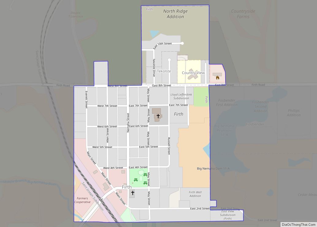
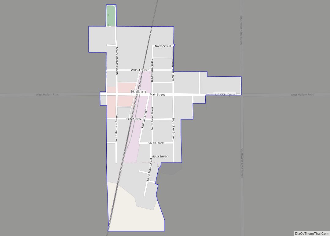
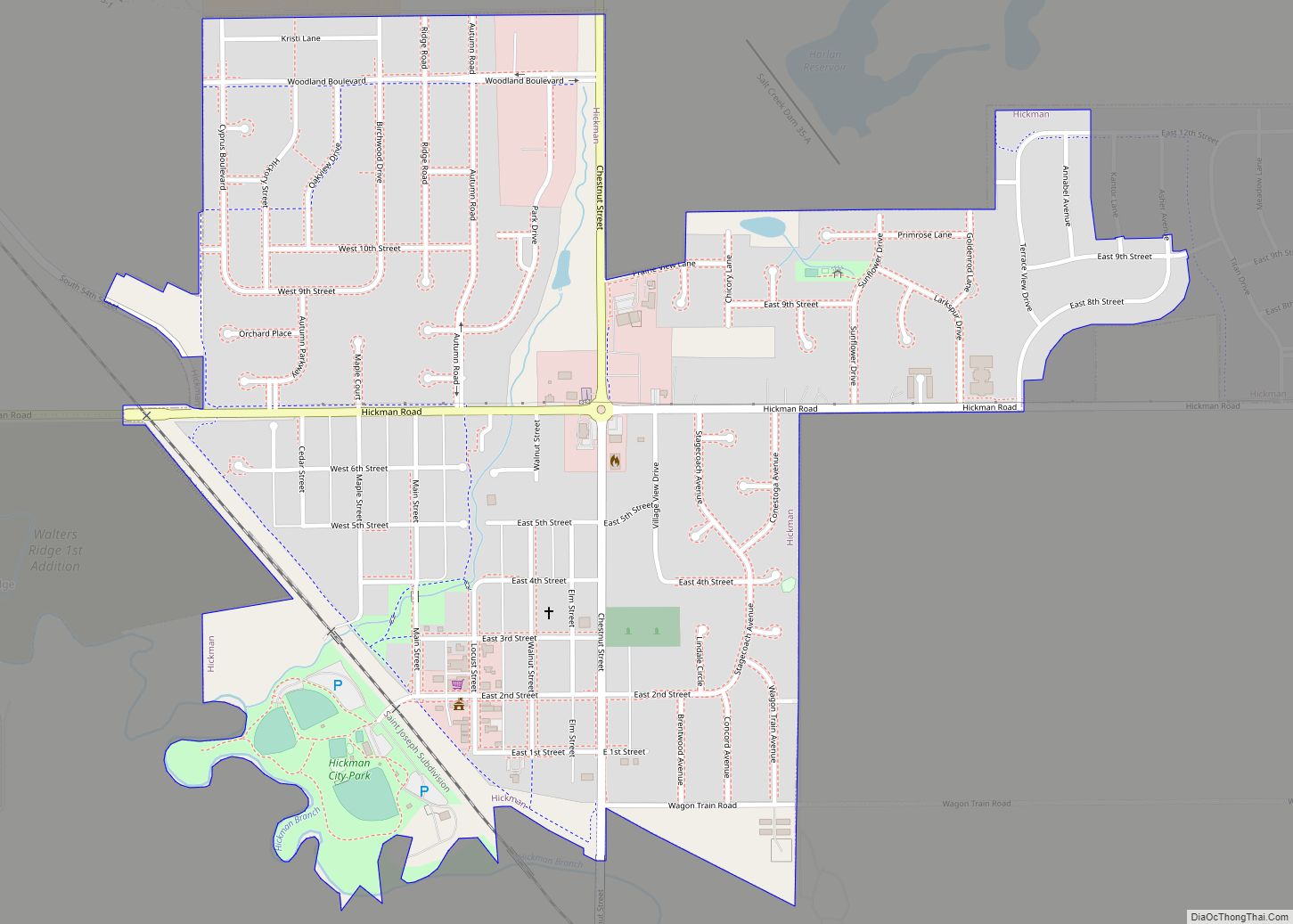
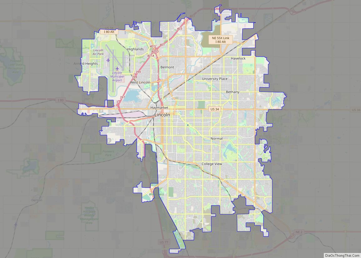
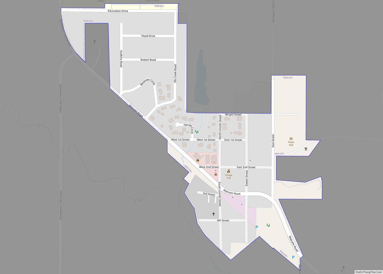
Online Interactive Map
Click on ![]() to view map in "full screen" mode.
to view map in "full screen" mode.
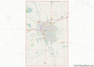
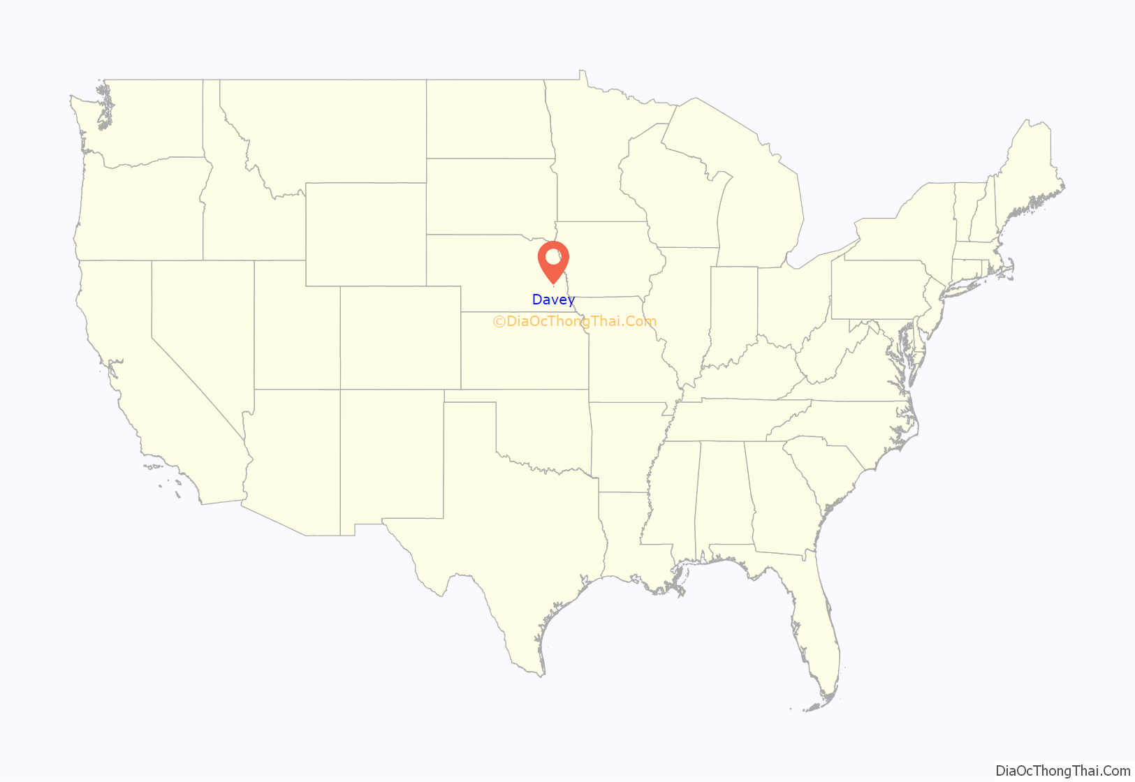
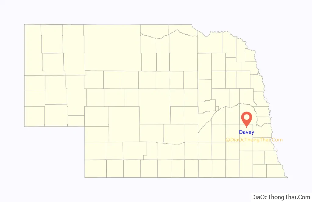
Davey location map. Where is Davey village?
History
Irish immigrants were the first Europeans to settle northern Lancaster county, followed by other Northern European immigrants such as Danes and Swedes with the passage of the Homestead Act in 1862. The area was originally known as Rock Creek and was served by a Pony Express station in 1871. In 1875, a Danish Lutheran church was built in the area. The town of Davey was founded in the Rock Creek area in 1886 when the Fremont, Elkhorn and Missouri Valley Railroad was extended to that point and was named for Michael Davey, a pioneer citizen.
By 1891, Davey offered a livery barn, an ice house, a meat market, a barber shop, a two-story opera house, a doctor’s office, and a confectioner’s shop. In 1900, the Interstate Company of Lincoln began publishing the Davey Mirror, the village newspaper. In 1903, the Farmers State Bank of Davey opened its doors in the center of the village.
A fire broke out at the local Catholic church in 1919 which spread throughout the town, burning many buildings including the Farmers State Bank of Davey and the telephone office. The Davey Hall, a WPA project, was built in the 1930s and celebrated by two days of festivities. The only grocery store in Davey, Hansen’s Grocery, closed in 1965 and the last Chicago Northwestern train passed through the village in 1981. Today, the train tracks have been converted to a hiking trail.
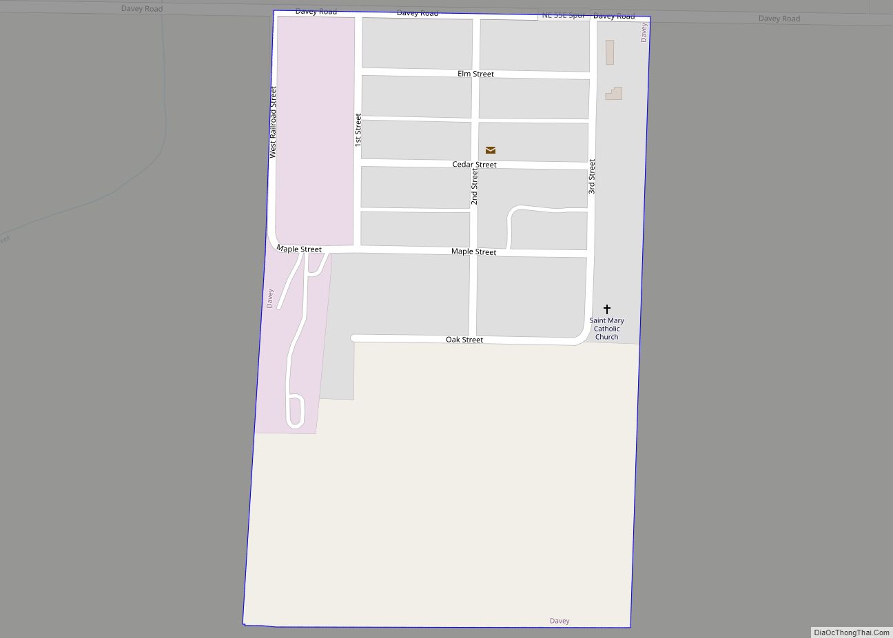
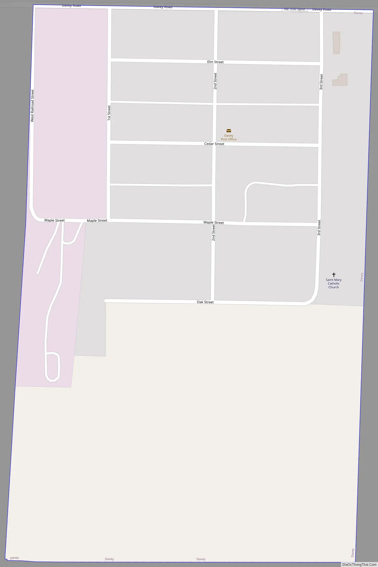
Davey Road Map
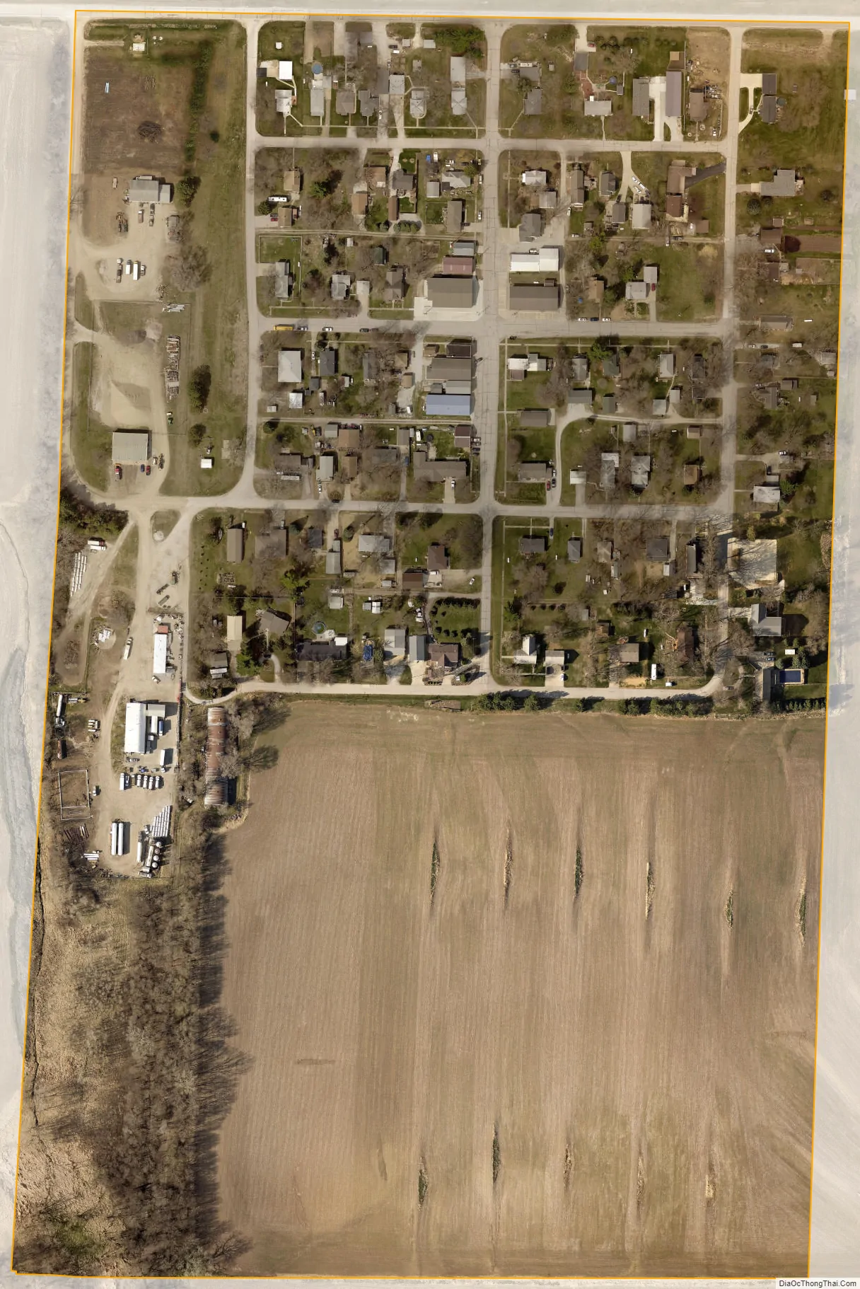
Davey city Satellite Map
Geography
According to the United States Census Bureau, the village has a total area of 0.15 square miles (0.39 km), all land.
See also
Map of Nebraska State and its subdivision:- Adams
- Antelope
- Arthur
- Banner
- Blaine
- Boone
- Box Butte
- Boyd
- Brown
- Buffalo
- Burt
- Butler
- Cass
- Cedar
- Chase
- Cherry
- Cheyenne
- Clay
- Colfax
- Cuming
- Custer
- Dakota
- Dawes
- Dawson
- Deuel
- Dixon
- Dodge
- Douglas
- Dundy
- Fillmore
- Franklin
- Frontier
- Furnas
- Gage
- Garden
- Garfield
- Gosper
- Grant
- Greeley
- Hall
- Hamilton
- Harlan
- Hayes
- Hitchcock
- Holt
- Hooker
- Howard
- Jefferson
- Johnson
- Kearney
- Keith
- Keya Paha
- Kimball
- Knox
- Lancaster
- Lincoln
- Logan
- Loup
- Madison
- McPherson
- Merrick
- Morrill
- Nance
- Nemaha
- Nuckolls
- Otoe
- Pawnee
- Perkins
- Phelps
- Pierce
- Platte
- Polk
- Red Willow
- Richardson
- Rock
- Saline
- Sarpy
- Saunders
- Scotts Bluff
- Seward
- Sheridan
- Sherman
- Sioux
- Stanton
- Thayer
- Thomas
- Thurston
- Valley
- Washington
- Wayne
- Webster
- Wheeler
- York
- Alabama
- Alaska
- Arizona
- Arkansas
- California
- Colorado
- Connecticut
- Delaware
- District of Columbia
- Florida
- Georgia
- Hawaii
- Idaho
- Illinois
- Indiana
- Iowa
- Kansas
- Kentucky
- Louisiana
- Maine
- Maryland
- Massachusetts
- Michigan
- Minnesota
- Mississippi
- Missouri
- Montana
- Nebraska
- Nevada
- New Hampshire
- New Jersey
- New Mexico
- New York
- North Carolina
- North Dakota
- Ohio
- Oklahoma
- Oregon
- Pennsylvania
- Rhode Island
- South Carolina
- South Dakota
- Tennessee
- Texas
- Utah
- Vermont
- Virginia
- Washington
- West Virginia
- Wisconsin
- Wyoming