Dunbar is a village in Otoe County, Nebraska, United States. The population was 165 at the 2020 census.
| Name: | Dunbar village |
|---|---|
| LSAD Code: | 47 |
| LSAD Description: | village (suffix) |
| State: | Nebraska |
| County: | Otoe County |
| Elevation: | 1,083 ft (330 m) |
| Total Area: | 0.23 sq mi (0.60 km²) |
| Land Area: | 0.23 sq mi (0.60 km²) |
| Water Area: | 0.00 sq mi (0.00 km²) |
| Total Population: | 165 |
| Population Density: | 717.39/sq mi (276.71/km²) |
| ZIP code: | 68346 |
| Area code: | 402 |
| FIPS code: | 3113855 |
| GNISfeature ID: | 2398752 |
Online Interactive Map
Click on ![]() to view map in "full screen" mode.
to view map in "full screen" mode.
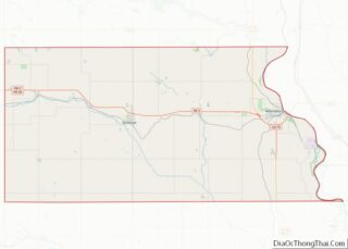
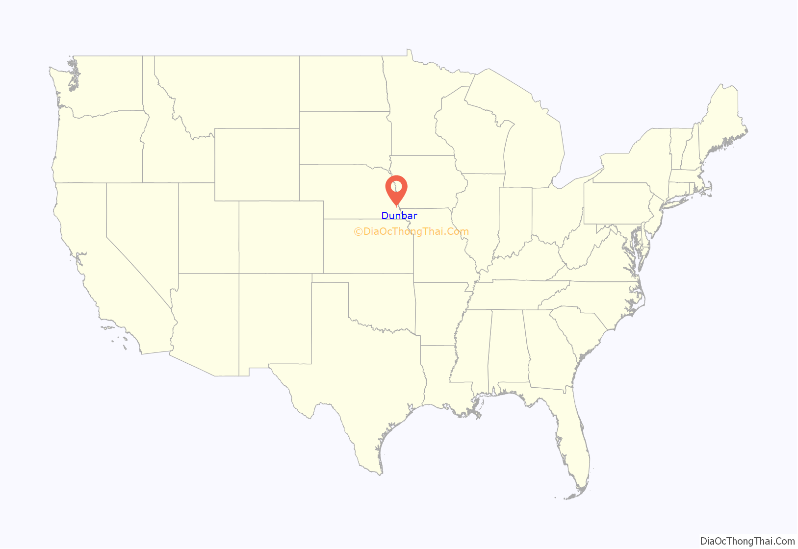
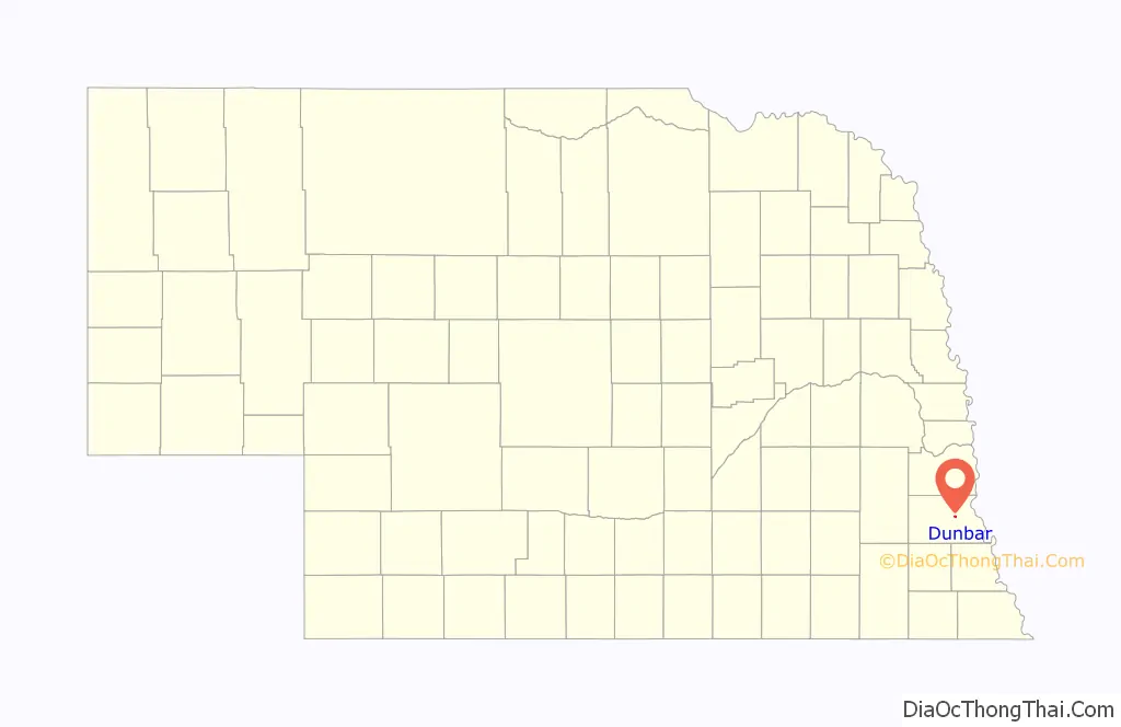
Dunbar location map. Where is Dunbar village?
History
Dunbar was founded in 1856 by John Dunbar on the intersection of the properties of John Dunbar, T. H. Dunbar, J. Wilson, and John McGinley. It was originally known as Wilson until 1856 when it was renamed for the oldest resident and recognized founder. Dunbar was a large freighting depot for goods traveling west out of Nebraska City. The first railroad was built in Dunbar in 1869 when the Midland Pacific Railway and Burlington and Missouri River Railroads reached Nebraska City. By the 1880s, the town contained a grocery, general store, restaurant, boarding house, two hotels, two liveries, five churches, pharmacy, lumberyard, two banks, barbershop, two saloons, dentist, optometrist. In 1884 and 1888 two fires occurred, prompting the usage of brick and mortar. About 1 mile south of Dunbar, the Delaware (named for the township) Cemetery was constructed. The earliest marked grave being in 1884.
In 1926, Dunbar observed its 70th birthday. A boulder was placed in memory of John Dunbar. The Nebraska City High School Band performed a concert and other festivities continued into the evening.
The flooding of Wilson Creek, Fox Creek, and several other tributaries on May 8, 1950, devastated the village. Nine buildings were washed away, the rest of the buildings were nearly destroyed, and two children were killed. In 1965, the Dunbar bypass was finished, greatly damaging the businesses of Dunbar, the population was decimated and the economy plummeted. The three mile stretch through Dunbar was noted as the worst from Chicago to Denver
State v. Hoffman
On January 11, 1887, at 11:30 p.m., David Hoffman and James Bell derailed a passenger train 1.5 miles north of Dunbar. The engineer was killed, and two people were severely injured. The train was carrying $17,000 in silver. The two were arrested the next day. Hoffman was charged with first degree murder and sent to the gallows, Bell was sentenced to ten years of hard labor in exchange for his testimony. On Friday, July 22, 1887 at 10:32, David Hoffman became the first person legally executed in Otoe County.
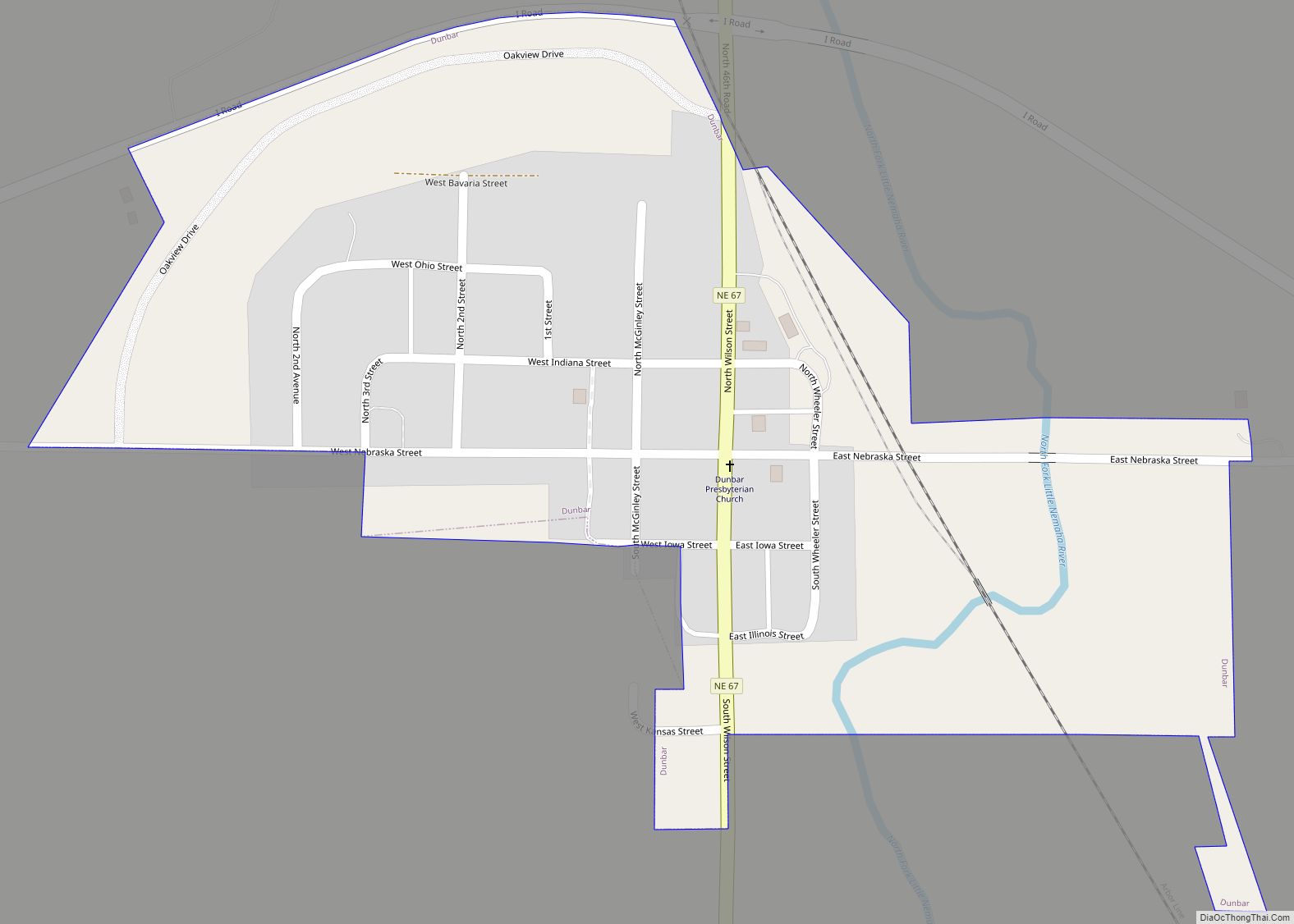
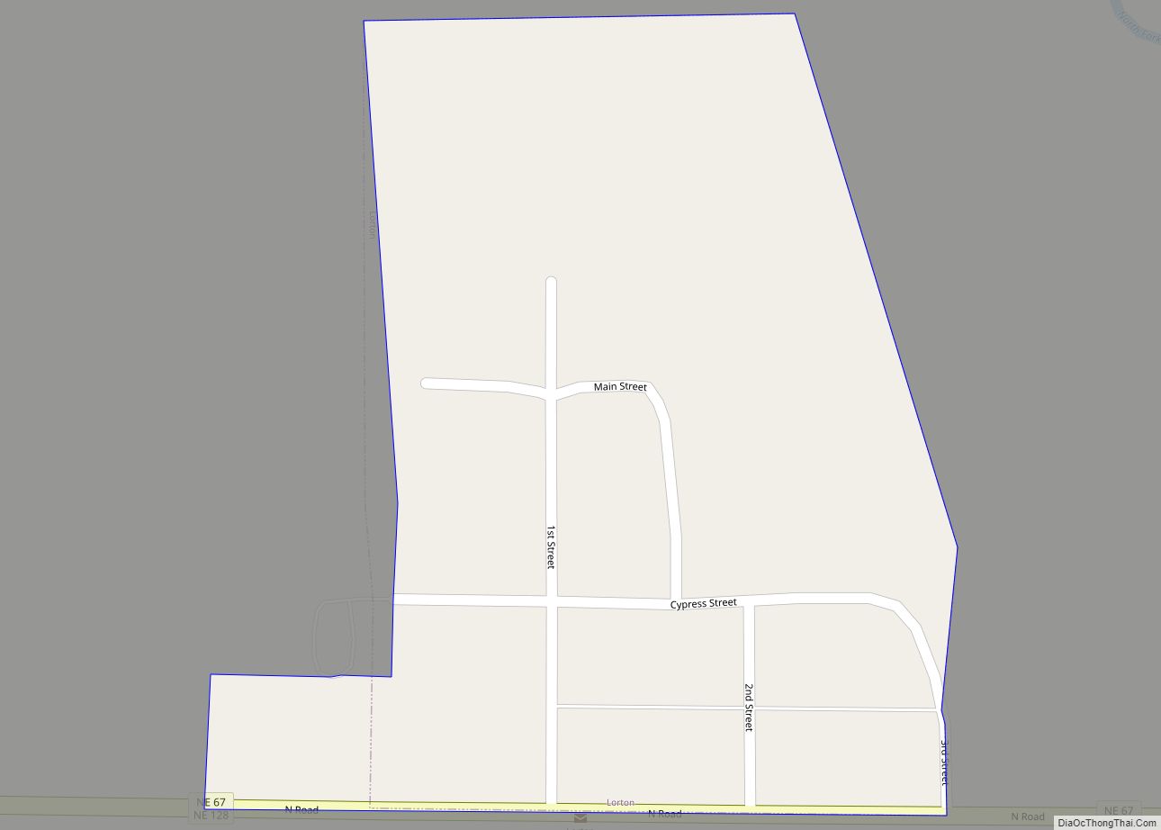
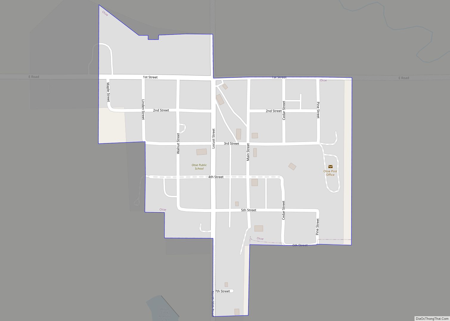
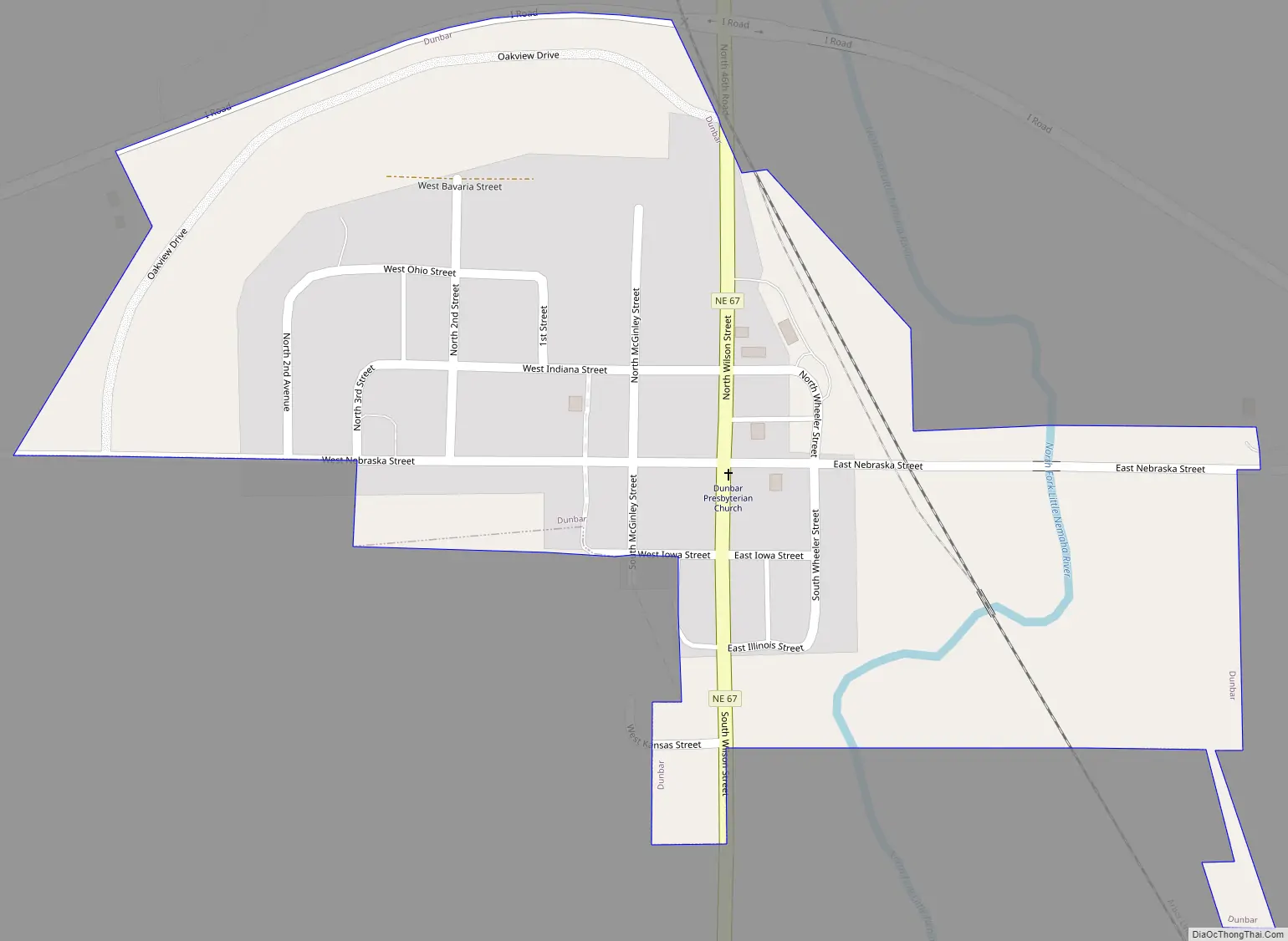
Dunbar Road Map
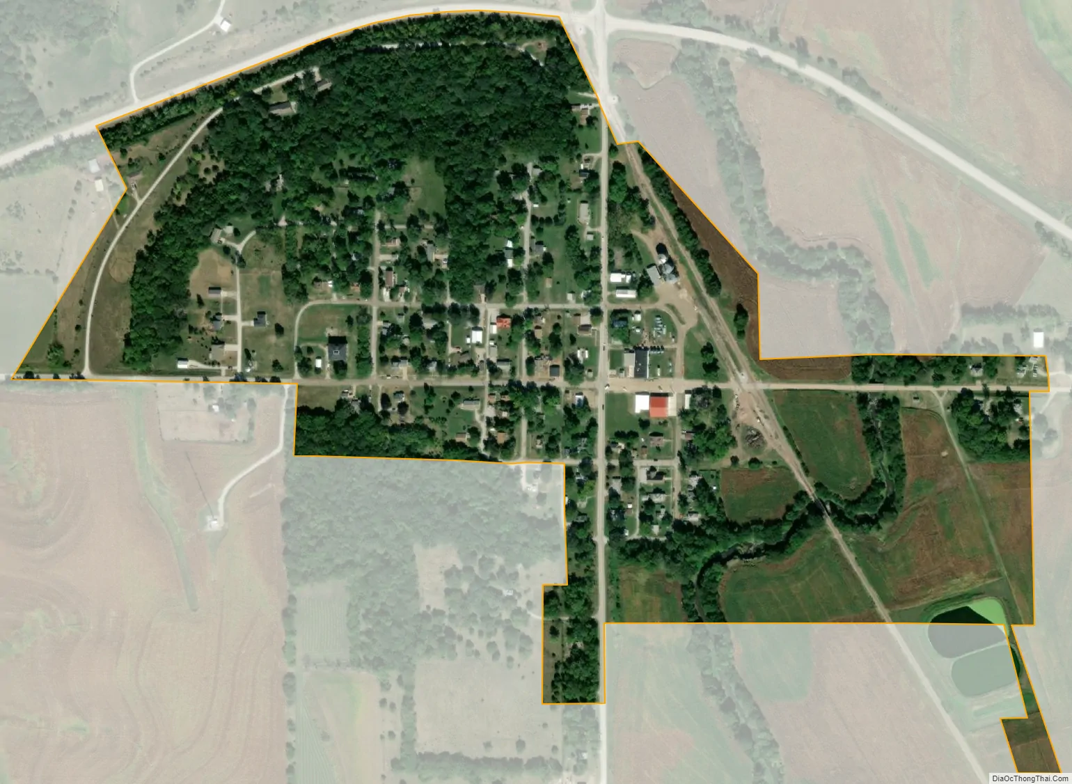
Dunbar city Satellite Map
Geography
According to the United States Census Bureau, the village has a total area of 0.23 square miles (0.60 km), all land.
See also
Map of Nebraska State and its subdivision:- Adams
- Antelope
- Arthur
- Banner
- Blaine
- Boone
- Box Butte
- Boyd
- Brown
- Buffalo
- Burt
- Butler
- Cass
- Cedar
- Chase
- Cherry
- Cheyenne
- Clay
- Colfax
- Cuming
- Custer
- Dakota
- Dawes
- Dawson
- Deuel
- Dixon
- Dodge
- Douglas
- Dundy
- Fillmore
- Franklin
- Frontier
- Furnas
- Gage
- Garden
- Garfield
- Gosper
- Grant
- Greeley
- Hall
- Hamilton
- Harlan
- Hayes
- Hitchcock
- Holt
- Hooker
- Howard
- Jefferson
- Johnson
- Kearney
- Keith
- Keya Paha
- Kimball
- Knox
- Lancaster
- Lincoln
- Logan
- Loup
- Madison
- McPherson
- Merrick
- Morrill
- Nance
- Nemaha
- Nuckolls
- Otoe
- Pawnee
- Perkins
- Phelps
- Pierce
- Platte
- Polk
- Red Willow
- Richardson
- Rock
- Saline
- Sarpy
- Saunders
- Scotts Bluff
- Seward
- Sheridan
- Sherman
- Sioux
- Stanton
- Thayer
- Thomas
- Thurston
- Valley
- Washington
- Wayne
- Webster
- Wheeler
- York
- Alabama
- Alaska
- Arizona
- Arkansas
- California
- Colorado
- Connecticut
- Delaware
- District of Columbia
- Florida
- Georgia
- Hawaii
- Idaho
- Illinois
- Indiana
- Iowa
- Kansas
- Kentucky
- Louisiana
- Maine
- Maryland
- Massachusetts
- Michigan
- Minnesota
- Mississippi
- Missouri
- Montana
- Nebraska
- Nevada
- New Hampshire
- New Jersey
- New Mexico
- New York
- North Carolina
- North Dakota
- Ohio
- Oklahoma
- Oregon
- Pennsylvania
- Rhode Island
- South Carolina
- South Dakota
- Tennessee
- Texas
- Utah
- Vermont
- Virginia
- Washington
- West Virginia
- Wisconsin
- Wyoming