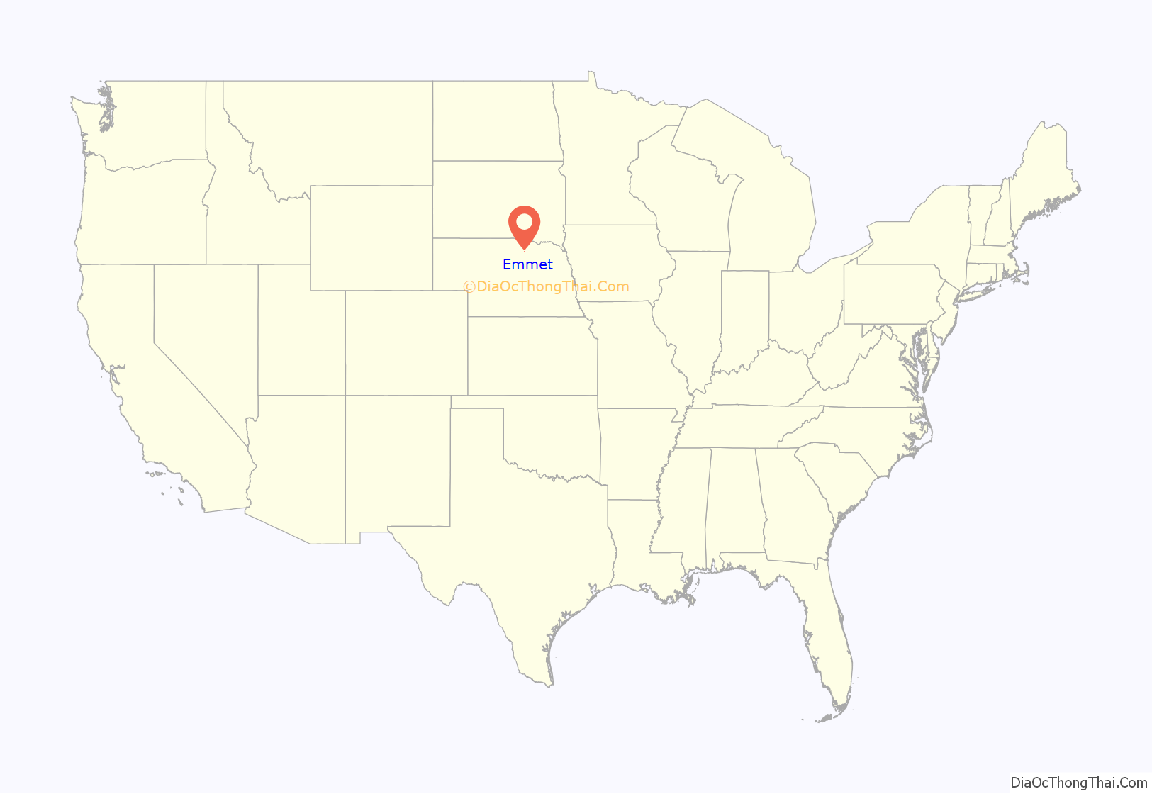
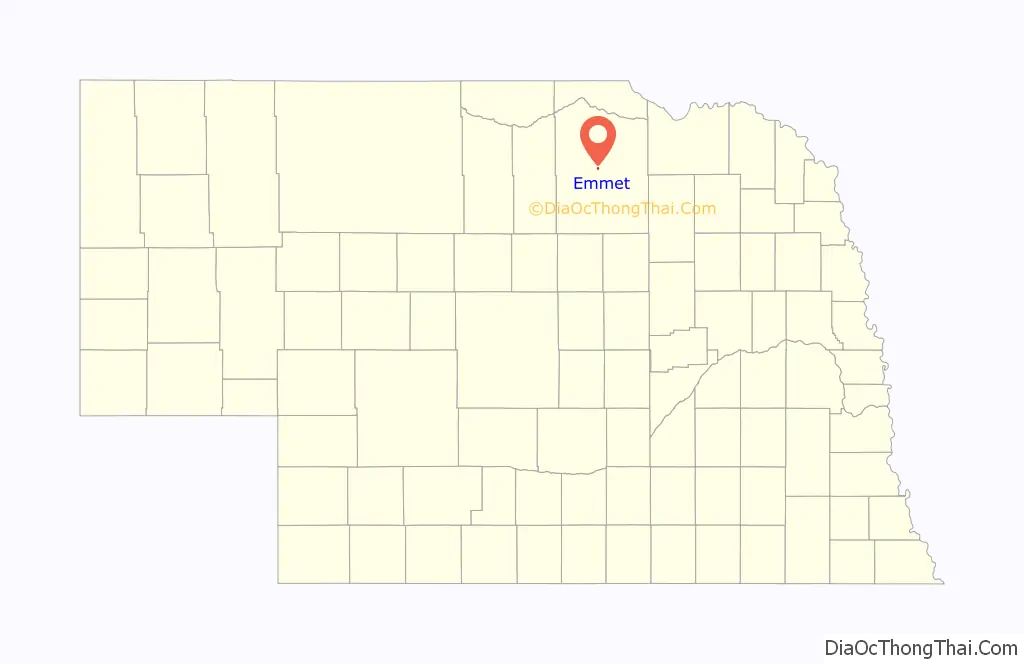
Emmet is a village in Holt County, Nebraska, United States. The population was 48 at the 2010 census.
| Name: | Emmet village |
|---|---|
| LSAD Code: | 47 |
| LSAD Description: | village (suffix) |
| State: | Nebraska |
| County: | Holt County |
| Elevation: | 2,028 ft (618 m) |
| Total Area: | 0.26 sq mi (0.67 km²) |
| Land Area: | 0.26 sq mi (0.67 km²) |
| Water Area: | 0.00 sq mi (0.00 km²) |
| Total Population: | 46 |
| Population Density: | 178.29/sq mi (68.89/km²) |
| ZIP code: | 68734 |
| Area code: | 402 |
| FIPS code: | 3115815 |
| GNISfeature ID: | 0829121 |
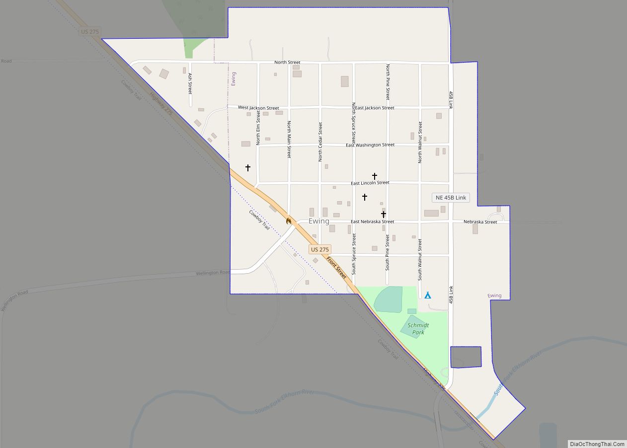
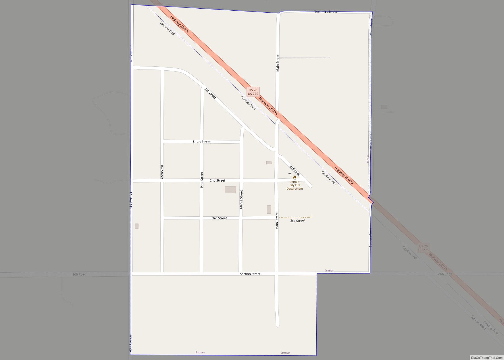
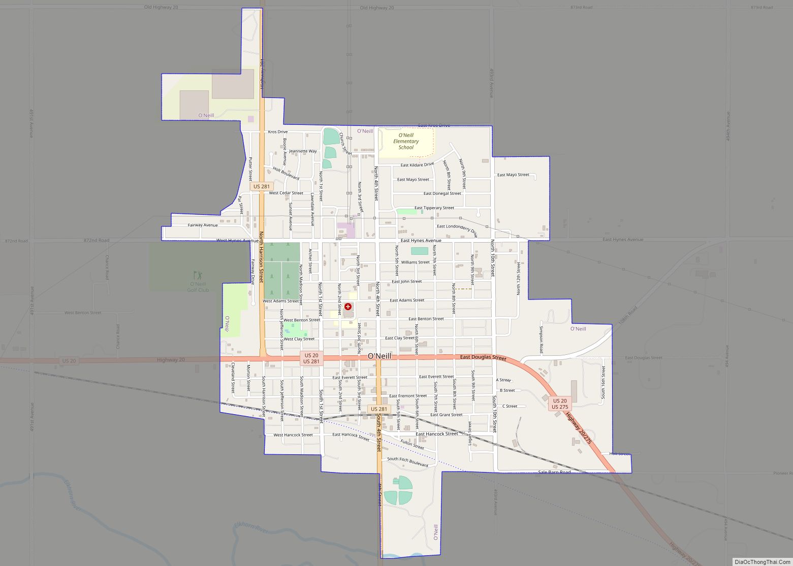
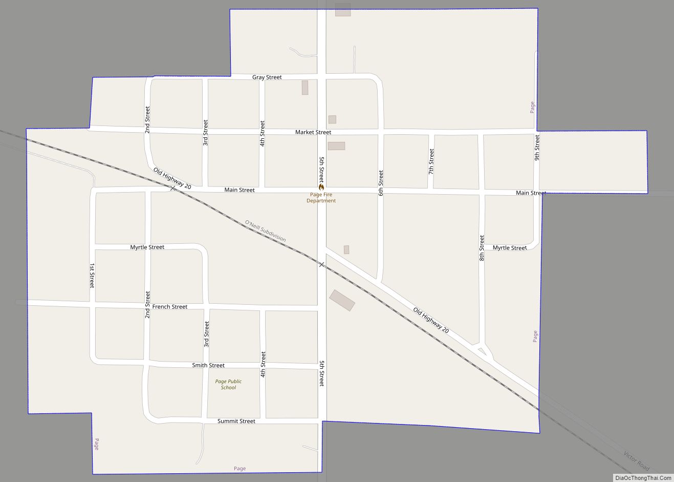
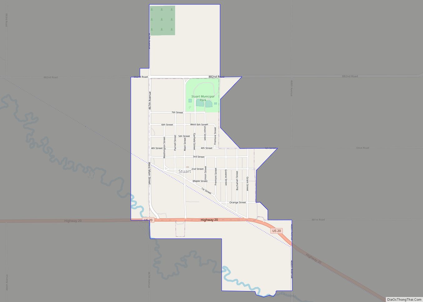
Online Interactive Map
Click on ![]() to view map in "full screen" mode.
to view map in "full screen" mode.
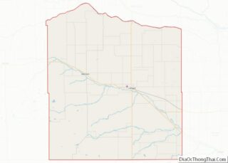
Emmet location map. Where is Emmet village?
History
Emmet was founded in 1882 when the Fremont, Elkhorn and Missouri Valley Railroad was extended to that point. It was named after Irish nationalist Robert Emmet.
Like much of Holt County, the Emmet area is well suited for production of wild hay. Early settlers cut it as a cash crop; in the 1920s, the Emmet-Elkhorn Valley Hay Company was founded; its name was later abbreviated to the Emmet Hay Company. The community describes itself as the “Biggest Little Haytown in the World”.
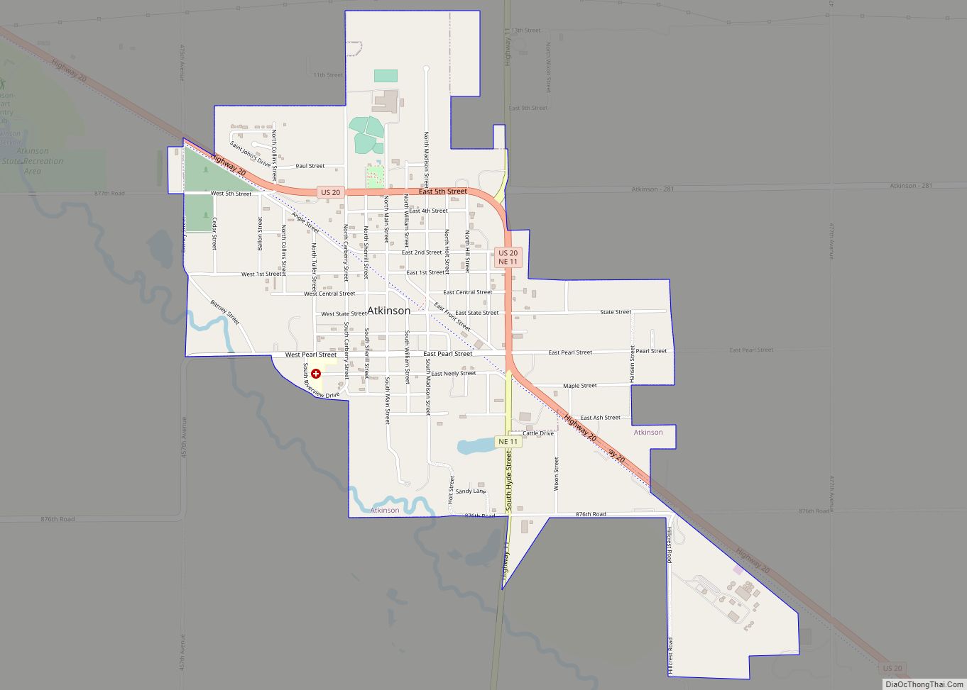
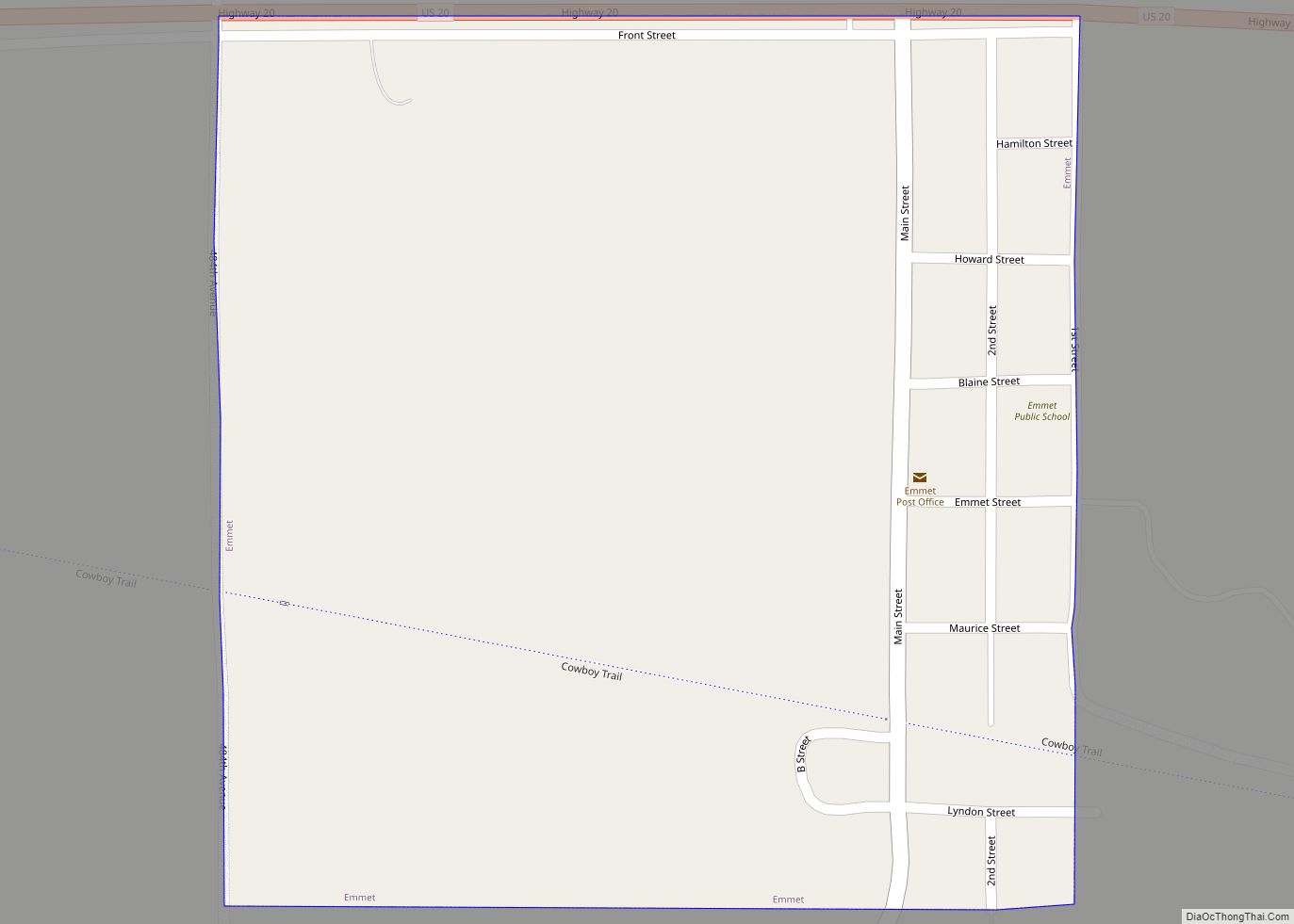
Emmet Road Map
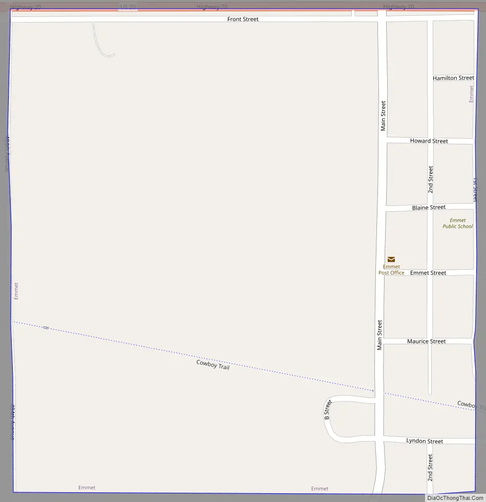
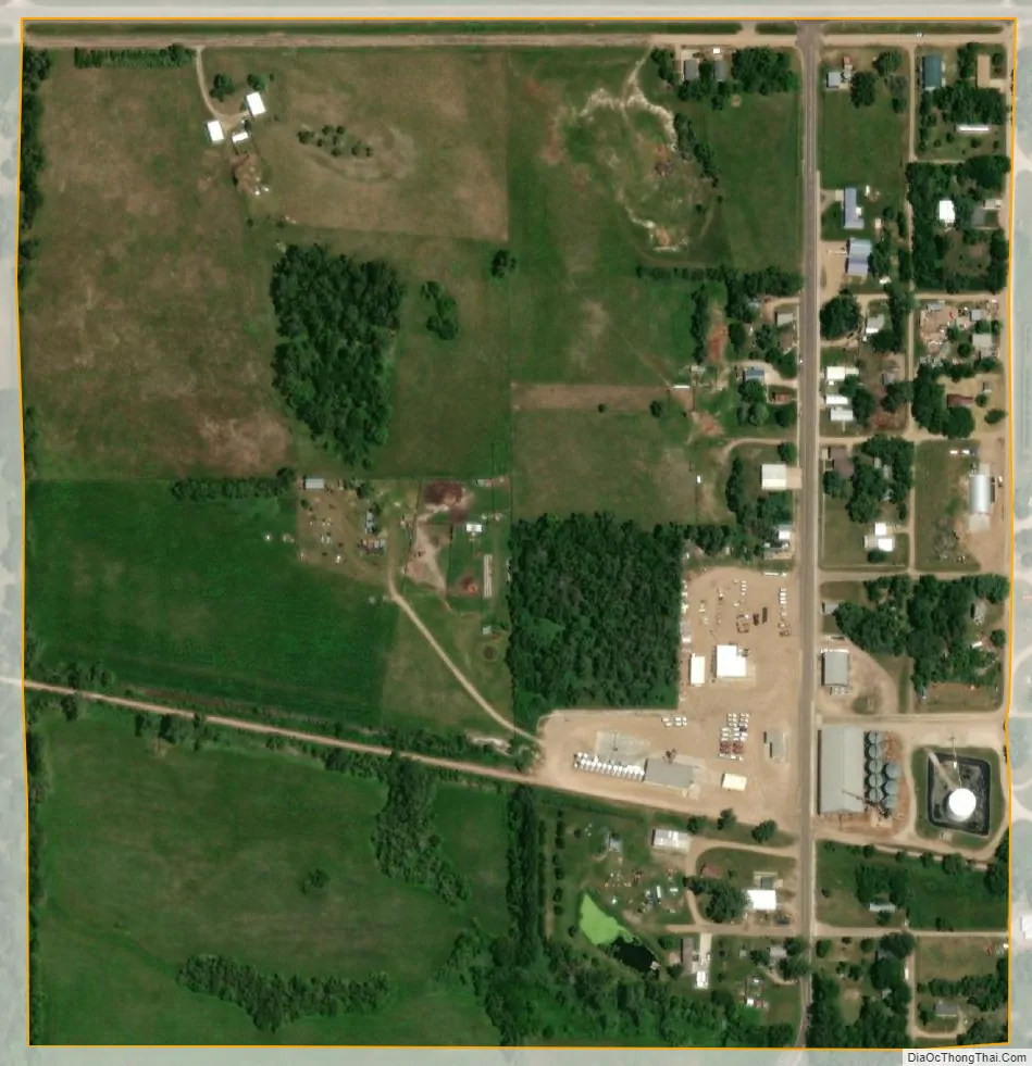
Emmet city Satellite Map
Geography
Emmet is located at 42°28′34″N 98°48′21″W / 42.47611°N 98.80583°W / 42.47611; -98.80583 (42.475996, -98.805830).
According to the United States Census Bureau, the village has a total area of 0.26 square miles (0.67 km), all land.
See also
Map of Nebraska State and its subdivision:- Adams
- Antelope
- Arthur
- Banner
- Blaine
- Boone
- Box Butte
- Boyd
- Brown
- Buffalo
- Burt
- Butler
- Cass
- Cedar
- Chase
- Cherry
- Cheyenne
- Clay
- Colfax
- Cuming
- Custer
- Dakota
- Dawes
- Dawson
- Deuel
- Dixon
- Dodge
- Douglas
- Dundy
- Fillmore
- Franklin
- Frontier
- Furnas
- Gage
- Garden
- Garfield
- Gosper
- Grant
- Greeley
- Hall
- Hamilton
- Harlan
- Hayes
- Hitchcock
- Holt
- Hooker
- Howard
- Jefferson
- Johnson
- Kearney
- Keith
- Keya Paha
- Kimball
- Knox
- Lancaster
- Lincoln
- Logan
- Loup
- Madison
- McPherson
- Merrick
- Morrill
- Nance
- Nemaha
- Nuckolls
- Otoe
- Pawnee
- Perkins
- Phelps
- Pierce
- Platte
- Polk
- Red Willow
- Richardson
- Rock
- Saline
- Sarpy
- Saunders
- Scotts Bluff
- Seward
- Sheridan
- Sherman
- Sioux
- Stanton
- Thayer
- Thomas
- Thurston
- Valley
- Washington
- Wayne
- Webster
- Wheeler
- York
- Alabama
- Alaska
- Arizona
- Arkansas
- California
- Colorado
- Connecticut
- Delaware
- District of Columbia
- Florida
- Georgia
- Hawaii
- Idaho
- Illinois
- Indiana
- Iowa
- Kansas
- Kentucky
- Louisiana
- Maine
- Maryland
- Massachusetts
- Michigan
- Minnesota
- Mississippi
- Missouri
- Montana
- Nebraska
- Nevada
- New Hampshire
- New Jersey
- New Mexico
- New York
- North Carolina
- North Dakota
- Ohio
- Oklahoma
- Oregon
- Pennsylvania
- Rhode Island
- South Carolina
- South Dakota
- Tennessee
- Texas
- Utah
- Vermont
- Virginia
- Washington
- West Virginia
- Wisconsin
- Wyoming