Gandy is a village in Logan County, Nebraska, United States. It is part of the North Platte, Nebraska Micropolitan Statistical Area. The population was 34 at the 2020 census.
| Name: | Gandy village |
|---|---|
| LSAD Code: | 47 |
| LSAD Description: | village (suffix) |
| State: | Nebraska |
| County: | Logan County |
| Elevation: | 2,897 ft (883 m) |
| Total Area: | 0.25 sq mi (0.64 km²) |
| Land Area: | 0.25 sq mi (0.64 km²) |
| Water Area: | 0.00 sq mi (0.00 km²) |
| Total Population: | 34 |
| Population Density: | 138.21/sq mi (53.42/km²) |
| ZIP code: | 69163 |
| Area code: | 308 |
| FIPS code: | 3117950 |
| GNISfeature ID: | 0829449 |
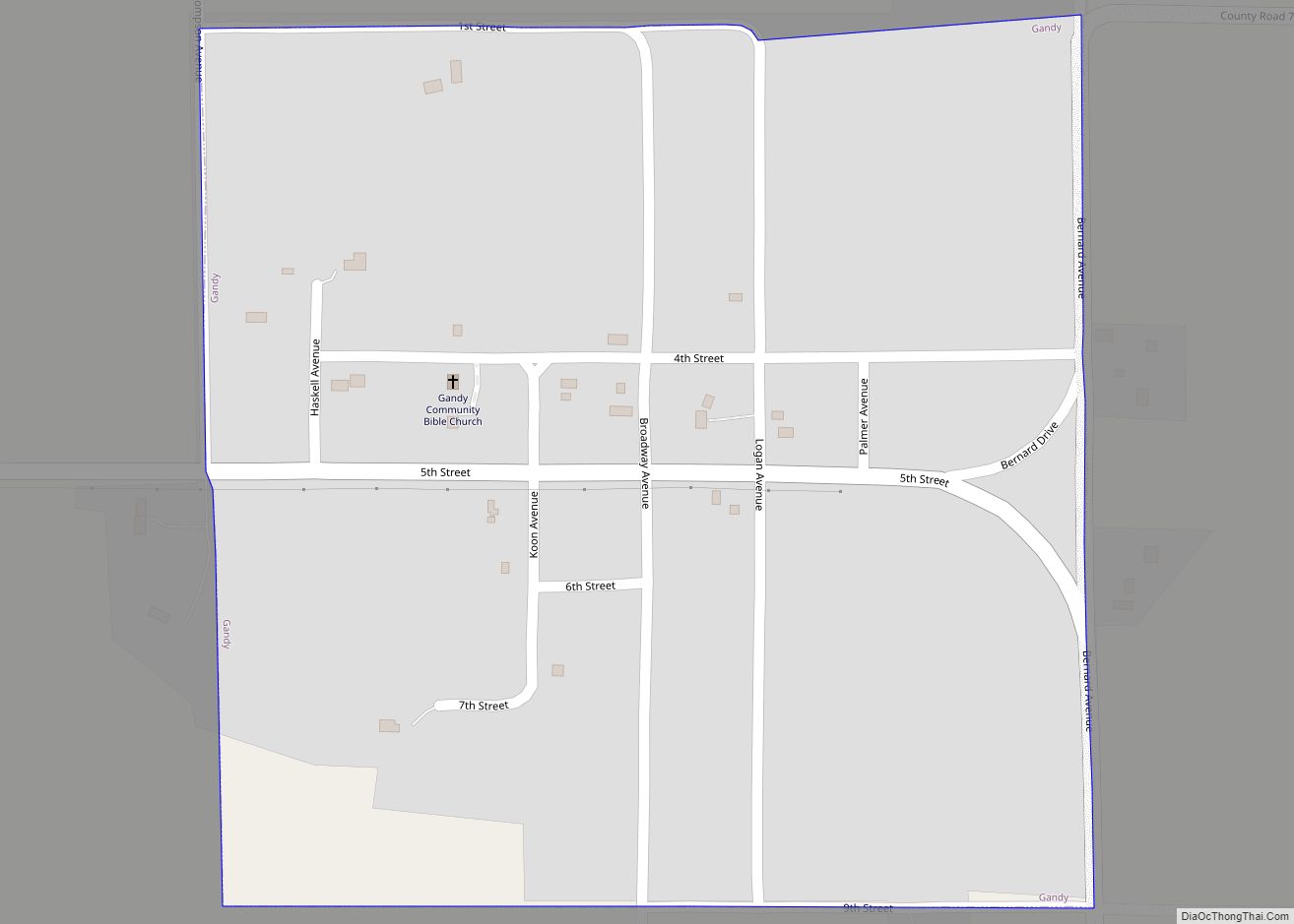
Online Interactive Map
Click on ![]() to view map in "full screen" mode.
to view map in "full screen" mode.
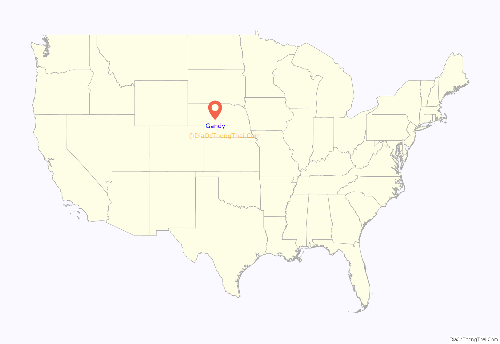
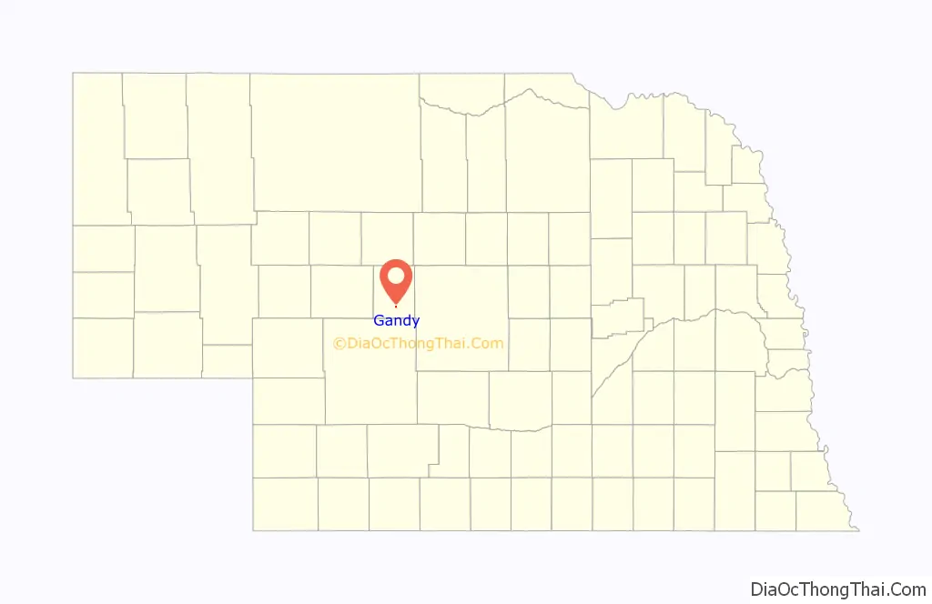
Gandy location map. Where is Gandy village?
History
Gandy was the first seat of Logan County. An election on July 25, 1885, established the town of Gandy and named it the Logan County seat. Gandy was named after an early settler, Jim Gandy, who agreed to donate the land for the town in exchange for the naming rights. Gandy was the largest town in Logan County until a Union Pacific spur line bypassed it to the north, and terminated at a newly established town, Stapleton, in 1913. Gandy remained the county seat until an election held on May 2, 1929, changed the seat to Stapleton.
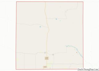
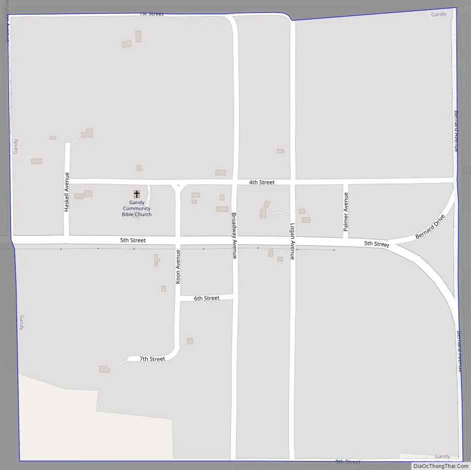
Gandy Road Map
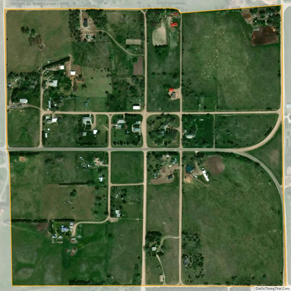
Gandy city Satellite Map
Geography
Gandy is located at 41°28′12″N 100°27′28″W / 41.47000°N 100.45778°W / 41.47000; -100.45778 (41.470122, -100.457844).
According to the United States Census Bureau, the village has a total area of 0.25 square miles (0.65 km), all land.
See also
Map of Nebraska State and its subdivision:- Adams
- Antelope
- Arthur
- Banner
- Blaine
- Boone
- Box Butte
- Boyd
- Brown
- Buffalo
- Burt
- Butler
- Cass
- Cedar
- Chase
- Cherry
- Cheyenne
- Clay
- Colfax
- Cuming
- Custer
- Dakota
- Dawes
- Dawson
- Deuel
- Dixon
- Dodge
- Douglas
- Dundy
- Fillmore
- Franklin
- Frontier
- Furnas
- Gage
- Garden
- Garfield
- Gosper
- Grant
- Greeley
- Hall
- Hamilton
- Harlan
- Hayes
- Hitchcock
- Holt
- Hooker
- Howard
- Jefferson
- Johnson
- Kearney
- Keith
- Keya Paha
- Kimball
- Knox
- Lancaster
- Lincoln
- Logan
- Loup
- Madison
- McPherson
- Merrick
- Morrill
- Nance
- Nemaha
- Nuckolls
- Otoe
- Pawnee
- Perkins
- Phelps
- Pierce
- Platte
- Polk
- Red Willow
- Richardson
- Rock
- Saline
- Sarpy
- Saunders
- Scotts Bluff
- Seward
- Sheridan
- Sherman
- Sioux
- Stanton
- Thayer
- Thomas
- Thurston
- Valley
- Washington
- Wayne
- Webster
- Wheeler
- York
- Alabama
- Alaska
- Arizona
- Arkansas
- California
- Colorado
- Connecticut
- Delaware
- District of Columbia
- Florida
- Georgia
- Hawaii
- Idaho
- Illinois
- Indiana
- Iowa
- Kansas
- Kentucky
- Louisiana
- Maine
- Maryland
- Massachusetts
- Michigan
- Minnesota
- Mississippi
- Missouri
- Montana
- Nebraska
- Nevada
- New Hampshire
- New Jersey
- New Mexico
- New York
- North Carolina
- North Dakota
- Ohio
- Oklahoma
- Oregon
- Pennsylvania
- Rhode Island
- South Carolina
- South Dakota
- Tennessee
- Texas
- Utah
- Vermont
- Virginia
- Washington
- West Virginia
- Wisconsin
- Wyoming