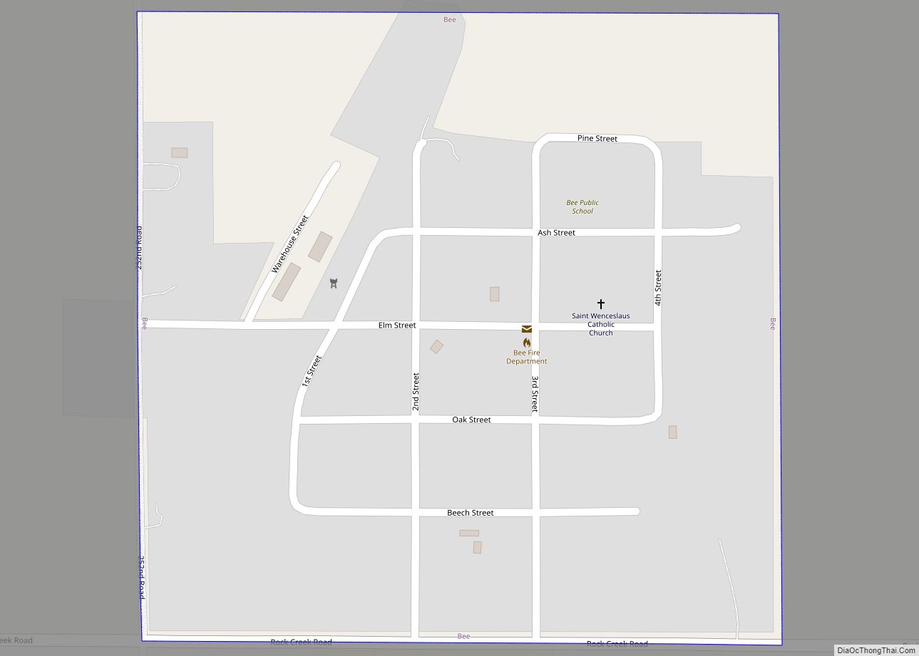
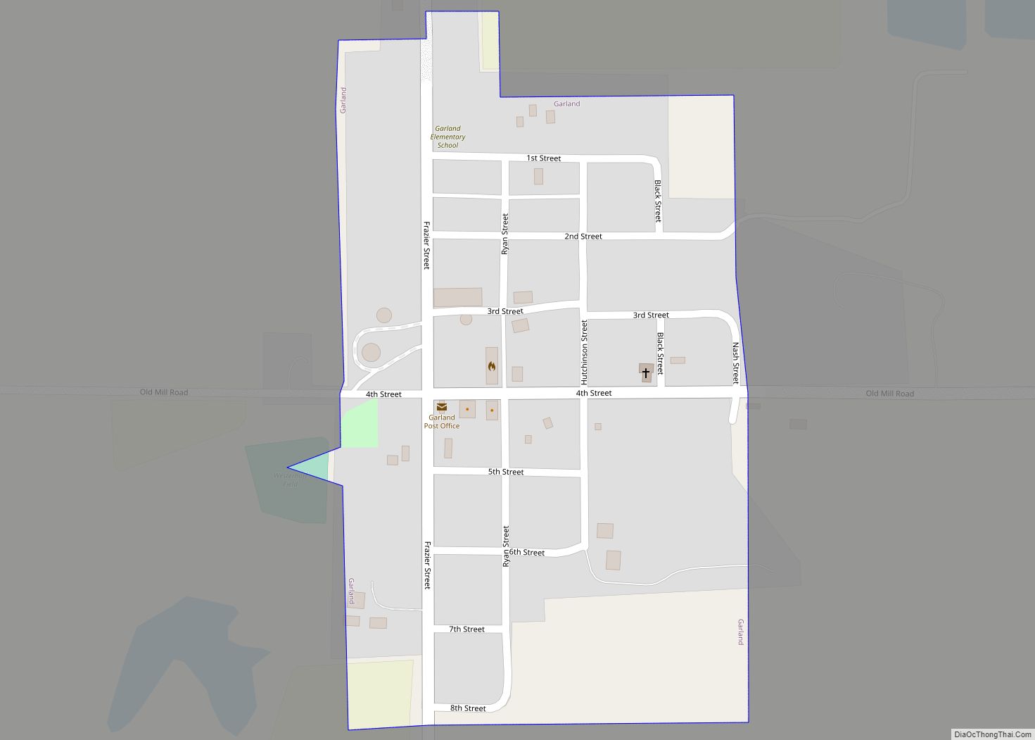
Garland, formerly known as Germantown, is a village in Seward County, Nebraska, United States. It is part of the Lincoln, Nebraska Metropolitan Statistical Area. The population was 216 at the 2010 census.
| Name: | Garland village |
|---|---|
| LSAD Code: | 47 |
| LSAD Description: | village (suffix) |
| State: | Nebraska |
| County: | Seward County |
| Elevation: | 1,575 ft (480 m) |
| Total Area: | 0.17 sq mi (0.43 km²) |
| Land Area: | 0.17 sq mi (0.43 km²) |
| Water Area: | 0.00 sq mi (0.00 km²) |
| Total Population: | 210 |
| Population Density: | 1,250.00/sq mi (483.64/km²) |
| ZIP code: | 68360 |
| Area code: | 402 |
| FIPS code: | 3118230 |
| GNISfeature ID: | 0829465 |
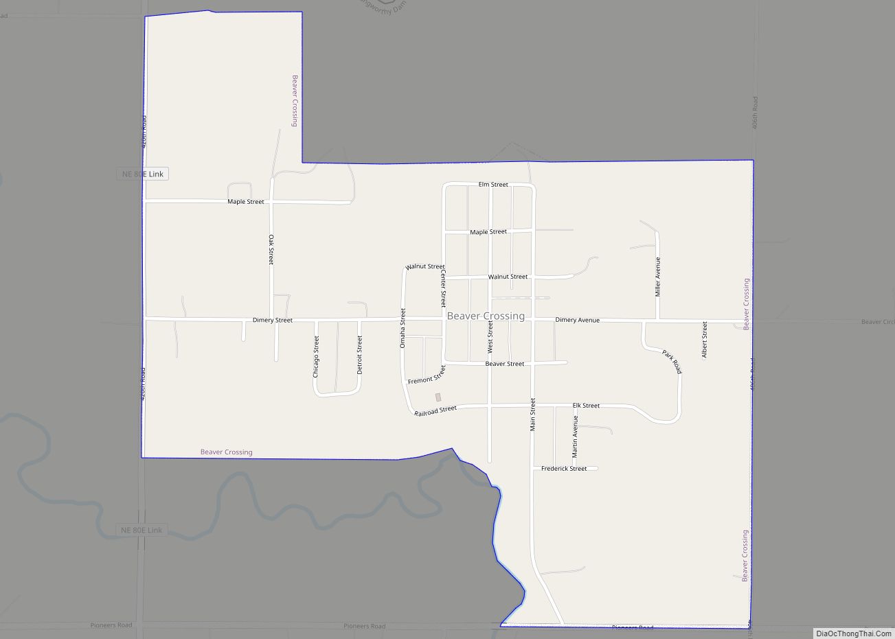
Online Interactive Map
Click on ![]() to view map in "full screen" mode.
to view map in "full screen" mode.
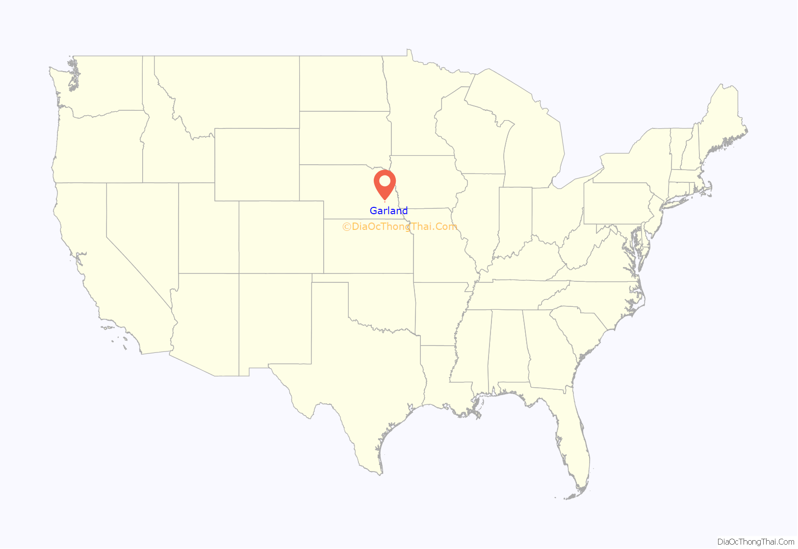
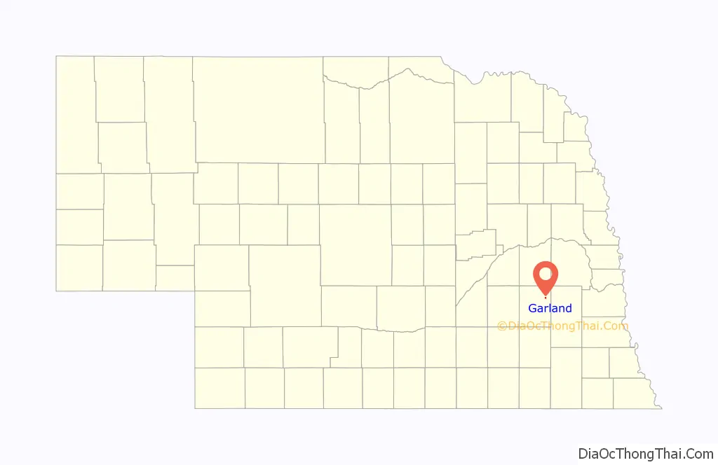
Garland location map. Where is Garland village?
History
In 1874, the Midland Pacific Railroad built the first railway in Seward County, laying tracks from Lincoln to Seward. To finance the construction of the new line, the railroad sought money from the county. However, the residents of the southern portion of the county voted overwhelmingly against the bond issue in an 1871 election: they were displeased at having been bypassed by an earlier railroad line, anticipated no benefits from the new line, and were angry with Seward, which had won the county seat away from the southern town of Milford. The failure of the bond issue forced the railroad to seek support from the northern portions of the county; so rather than following the desirable route up the valley of Middle Creek, the company agreed to build the line through Malcolm and then up into the hills of northeastern Seward County. This measure won enough support for the bonds to be approved in 1872.
A depot was established on a level place along the line, and the town of Germantown, named for the ethnicity of the local settlers, was platted in 1874 by Hiland Fraisure.
With the entry of the United States into World War I, anti-German sentiment was rampant. German-language newspapers were closed and German-language Lutheran church services were ended. Sauerkraut was dubbed “liberty cabbage”, and dachshunds “liberty hounds”. In this environment, the Germantown city council decided that the name had to be changed; and they resolved to rename the town after the first local soldier to die during the war. Although several residents later fell by enemy action, the resolution had failed to specify the manner of death; so the honor went to Raymond Garland, who died of pneumonia before he ever reached France. On December 11, 1918, a month after the signing of the Armistice, Germantown became Garland.
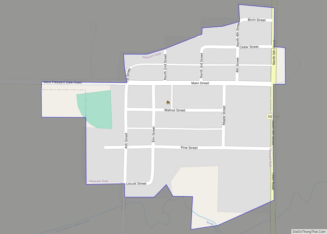
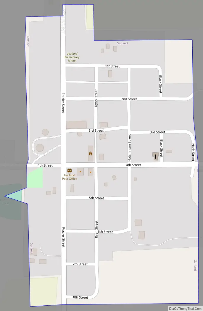
Garland Road Map
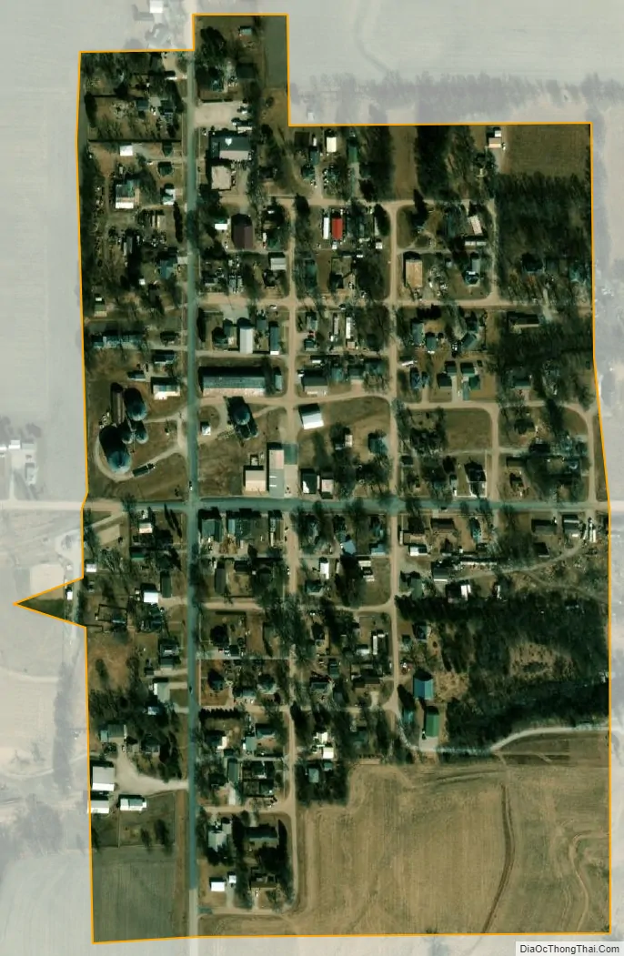
Garland city Satellite Map
Geography
Garland is located at 40°56′44″N 96°59′9″W / 40.94556°N 96.98583°W / 40.94556; -96.98583 (40.945501, -96.985926).
According to the United States Census Bureau, the village has a total area of 0.17 square miles (0.44 km), all land.
See also
Map of Nebraska State and its subdivision:- Adams
- Antelope
- Arthur
- Banner
- Blaine
- Boone
- Box Butte
- Boyd
- Brown
- Buffalo
- Burt
- Butler
- Cass
- Cedar
- Chase
- Cherry
- Cheyenne
- Clay
- Colfax
- Cuming
- Custer
- Dakota
- Dawes
- Dawson
- Deuel
- Dixon
- Dodge
- Douglas
- Dundy
- Fillmore
- Franklin
- Frontier
- Furnas
- Gage
- Garden
- Garfield
- Gosper
- Grant
- Greeley
- Hall
- Hamilton
- Harlan
- Hayes
- Hitchcock
- Holt
- Hooker
- Howard
- Jefferson
- Johnson
- Kearney
- Keith
- Keya Paha
- Kimball
- Knox
- Lancaster
- Lincoln
- Logan
- Loup
- Madison
- McPherson
- Merrick
- Morrill
- Nance
- Nemaha
- Nuckolls
- Otoe
- Pawnee
- Perkins
- Phelps
- Pierce
- Platte
- Polk
- Red Willow
- Richardson
- Rock
- Saline
- Sarpy
- Saunders
- Scotts Bluff
- Seward
- Sheridan
- Sherman
- Sioux
- Stanton
- Thayer
- Thomas
- Thurston
- Valley
- Washington
- Wayne
- Webster
- Wheeler
- York
- Alabama
- Alaska
- Arizona
- Arkansas
- California
- Colorado
- Connecticut
- Delaware
- District of Columbia
- Florida
- Georgia
- Hawaii
- Idaho
- Illinois
- Indiana
- Iowa
- Kansas
- Kentucky
- Louisiana
- Maine
- Maryland
- Massachusetts
- Michigan
- Minnesota
- Mississippi
- Missouri
- Montana
- Nebraska
- Nevada
- New Hampshire
- New Jersey
- New Mexico
- New York
- North Carolina
- North Dakota
- Ohio
- Oklahoma
- Oregon
- Pennsylvania
- Rhode Island
- South Carolina
- South Dakota
- Tennessee
- Texas
- Utah
- Vermont
- Virginia
- Washington
- West Virginia
- Wisconsin
- Wyoming