Gurley is a village in Cheyenne County, Nebraska, United States. The population was 214 at the 2010 census.
| Name: | Gurley village |
|---|---|
| LSAD Code: | 47 |
| LSAD Description: | village (suffix) |
| State: | Nebraska |
| County: | Cheyenne County |
| Elevation: | 4,281 ft (1,305 m) |
| Total Area: | 0.19 sq mi (0.48 km²) |
| Land Area: | 0.19 sq mi (0.48 km²) |
| Water Area: | 0.00 sq mi (0.00 km²) |
| Total Population: | 187 |
| Population Density: | 1,000.00/sq mi (386.46/km²) |
| ZIP code: | 69141 |
| Area code: | 308 |
| FIPS code: | 3120435 |
| GNISfeature ID: | 0829723 |
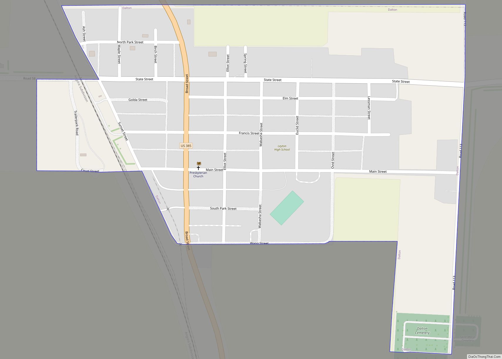
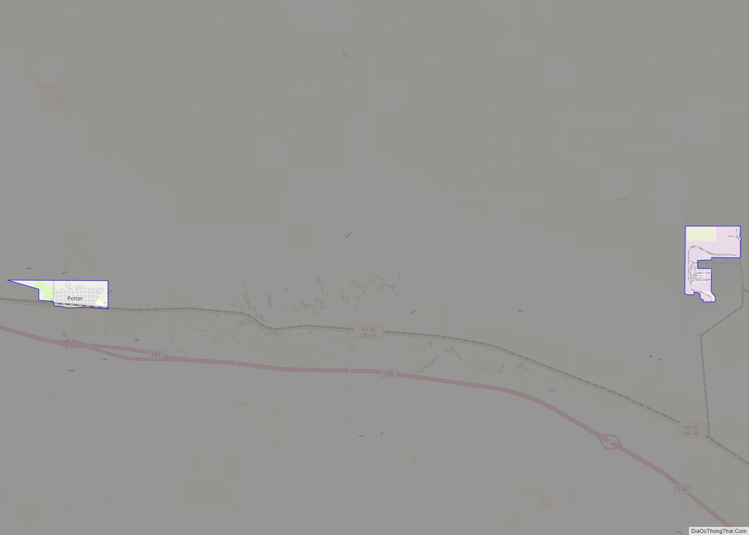
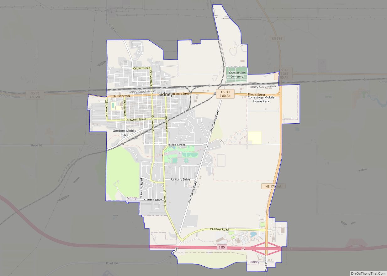
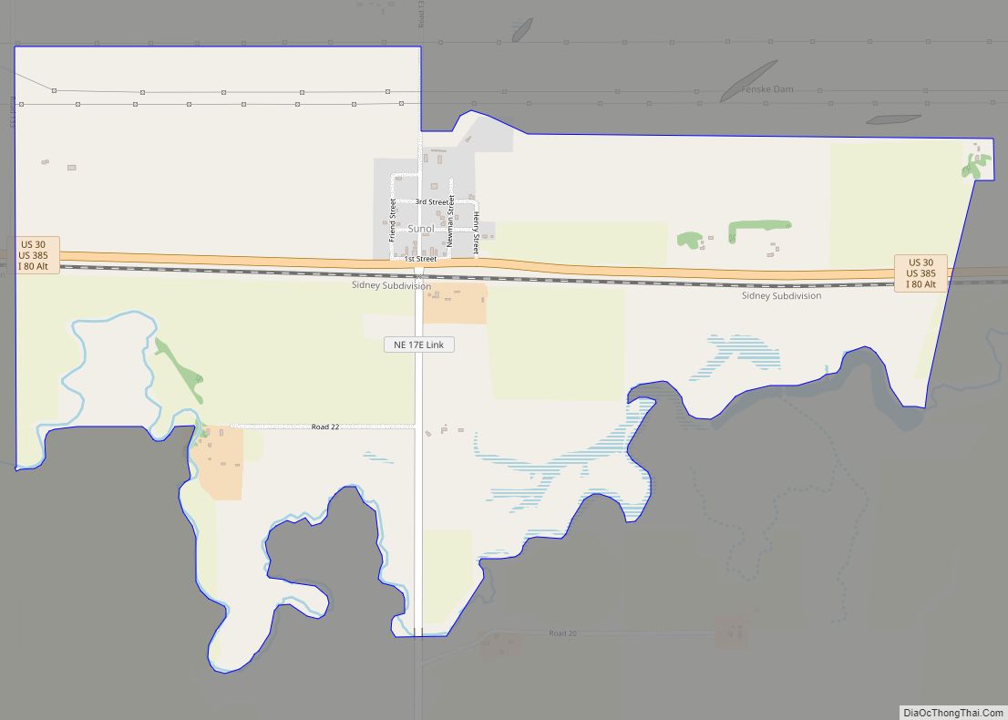
Online Interactive Map
Click on ![]() to view map in "full screen" mode.
to view map in "full screen" mode.
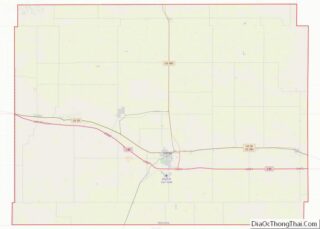
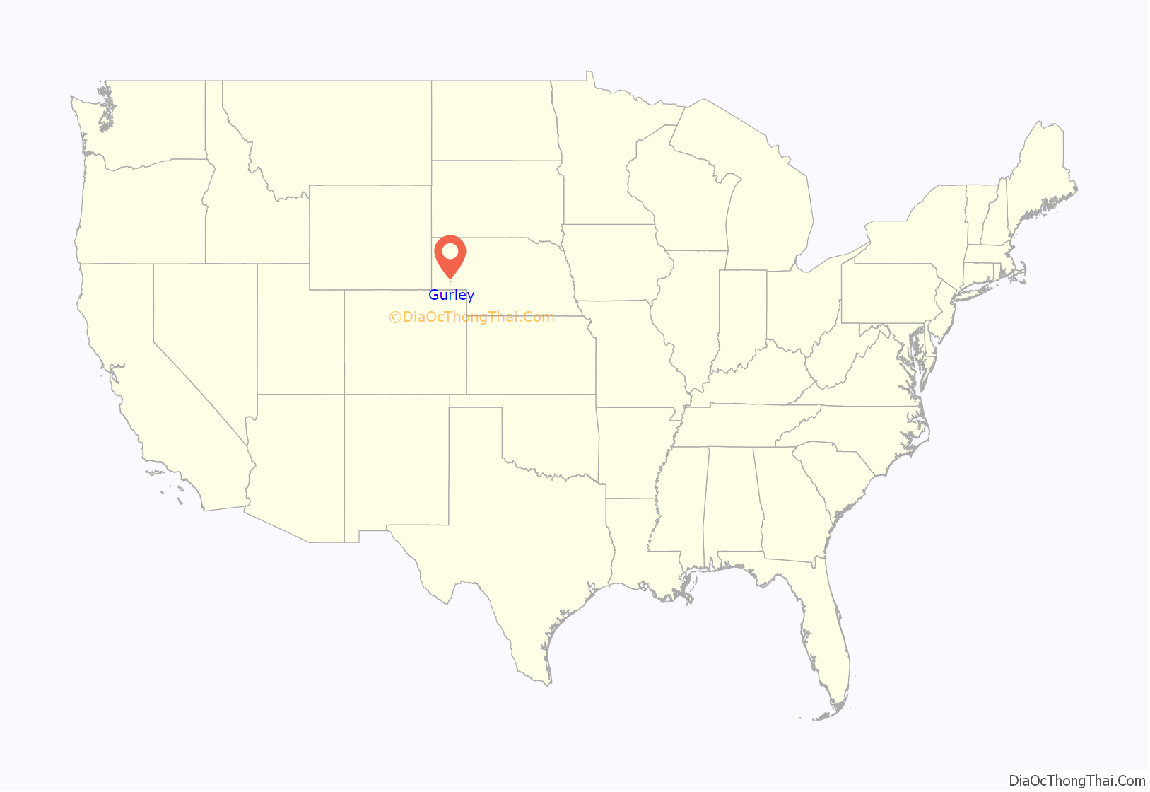
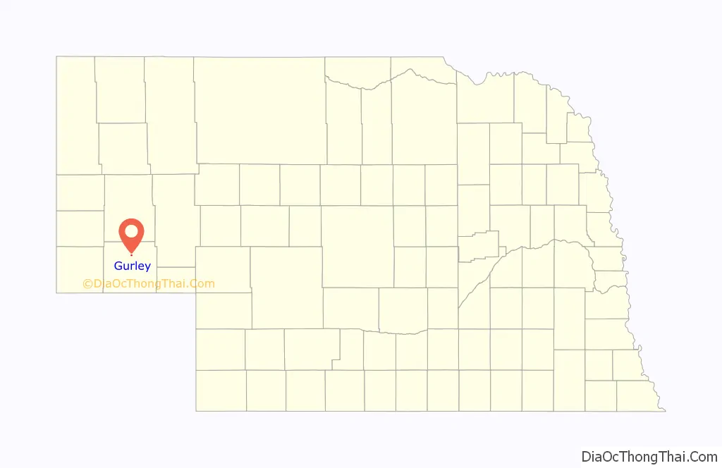
Gurley location map. Where is Gurley village?
History
Gurley was founded in 1913 when the railroad was extended to that point. It was named for Fred R. Gurley, superintendent with the Burlington Railroad. The first Gurley depot station was opened during the winter of 1915-1916. Three bunk cars served as a station building. One was the office, one was for freight and one was for living quarters for the agent and his family. The first agent was George Wallen. Fred Gurley was the agent from 1916-1919. During the time that Fred was the agent he started a park north of the depot. He planted flowers and made the trellis that was in the center of it and there is still a park there today. The Gurley Lumber Company was one of the first businesses in Gurley. S.J. Flora came in 1914 to be the manager of this business. The first person born in Gurley was Clara Anneva Flora, later to be named Clara Lessig. As of December 2008, Clara is still an active member of the Gurley community. The first general store and a post office were operated by F.W. Busse. In the same building, there was a pharmacy and a doctor’s office. Dr. Hart was the doctor at that time. He also had the first telephone switchboard in Gurley. Christ Weyerts built a Weyerts Garage and dance hall about 1915. The Gurley State Bank was built by Christ Weyerts in 1915 on the south side of main street. This closed in 1921. A.K. Greenlee built and operated a grocery and dry goods store on the south side. This brick building was built in 1915. Gurley’s first grain elevator was erected in 1914-1915 and burned on March 14, 1941. The rebuilt grain elevator was acquired by the Farmer’s Union Elevator in August 1960.
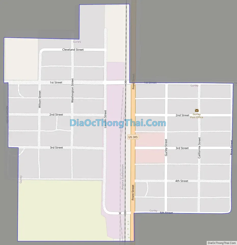
Gurley Road Map
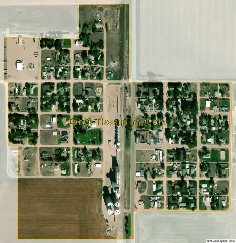
Gurley city Satellite Map
Geography
Gurley is located at 41°19′21″N 102°58′25″W / 41.32250°N 102.97361°W / 41.32250; -102.97361 (41.322523, -102.973728).
According to the United States Census Bureau, the village has a total area of 0.19 square miles (0.49 km), all land.
See also
Map of Nebraska State and its subdivision:- Adams
- Antelope
- Arthur
- Banner
- Blaine
- Boone
- Box Butte
- Boyd
- Brown
- Buffalo
- Burt
- Butler
- Cass
- Cedar
- Chase
- Cherry
- Cheyenne
- Clay
- Colfax
- Cuming
- Custer
- Dakota
- Dawes
- Dawson
- Deuel
- Dixon
- Dodge
- Douglas
- Dundy
- Fillmore
- Franklin
- Frontier
- Furnas
- Gage
- Garden
- Garfield
- Gosper
- Grant
- Greeley
- Hall
- Hamilton
- Harlan
- Hayes
- Hitchcock
- Holt
- Hooker
- Howard
- Jefferson
- Johnson
- Kearney
- Keith
- Keya Paha
- Kimball
- Knox
- Lancaster
- Lincoln
- Logan
- Loup
- Madison
- McPherson
- Merrick
- Morrill
- Nance
- Nemaha
- Nuckolls
- Otoe
- Pawnee
- Perkins
- Phelps
- Pierce
- Platte
- Polk
- Red Willow
- Richardson
- Rock
- Saline
- Sarpy
- Saunders
- Scotts Bluff
- Seward
- Sheridan
- Sherman
- Sioux
- Stanton
- Thayer
- Thomas
- Thurston
- Valley
- Washington
- Wayne
- Webster
- Wheeler
- York
- Alabama
- Alaska
- Arizona
- Arkansas
- California
- Colorado
- Connecticut
- Delaware
- District of Columbia
- Florida
- Georgia
- Hawaii
- Idaho
- Illinois
- Indiana
- Iowa
- Kansas
- Kentucky
- Louisiana
- Maine
- Maryland
- Massachusetts
- Michigan
- Minnesota
- Mississippi
- Missouri
- Montana
- Nebraska
- Nevada
- New Hampshire
- New Jersey
- New Mexico
- New York
- North Carolina
- North Dakota
- Ohio
- Oklahoma
- Oregon
- Pennsylvania
- Rhode Island
- South Carolina
- South Dakota
- Tennessee
- Texas
- Utah
- Vermont
- Virginia
- Washington
- West Virginia
- Wisconsin
- Wyoming