Hallam is a village in Lancaster County, Nebraska, United States. It is part of the Lincoln, Nebraska Metropolitan Statistical Area. The population was 268 at the 2020 census.
| Name: | Hallam village |
|---|---|
| LSAD Code: | 47 |
| LSAD Description: | village (suffix) |
| State: | Nebraska |
| County: | Lancaster County |
| Elevation: | 1,486 ft (453 m) |
| Total Area: | 0.21 sq mi (0.56 km²) |
| Land Area: | 0.21 sq mi (0.56 km²) |
| Water Area: | 0.00 sq mi (0.00 km²) |
| Total Population: | 268 |
| Population Density: | 1,246.51/sq mi (480.92/km²) |
| ZIP code: | 68368 |
| Area code: | 402 |
| FIPS code: | 3120610 |
| GNISfeature ID: | 2398224 |
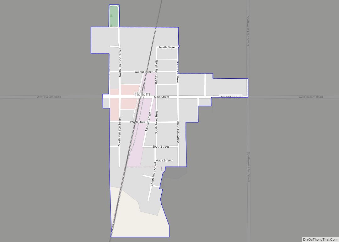
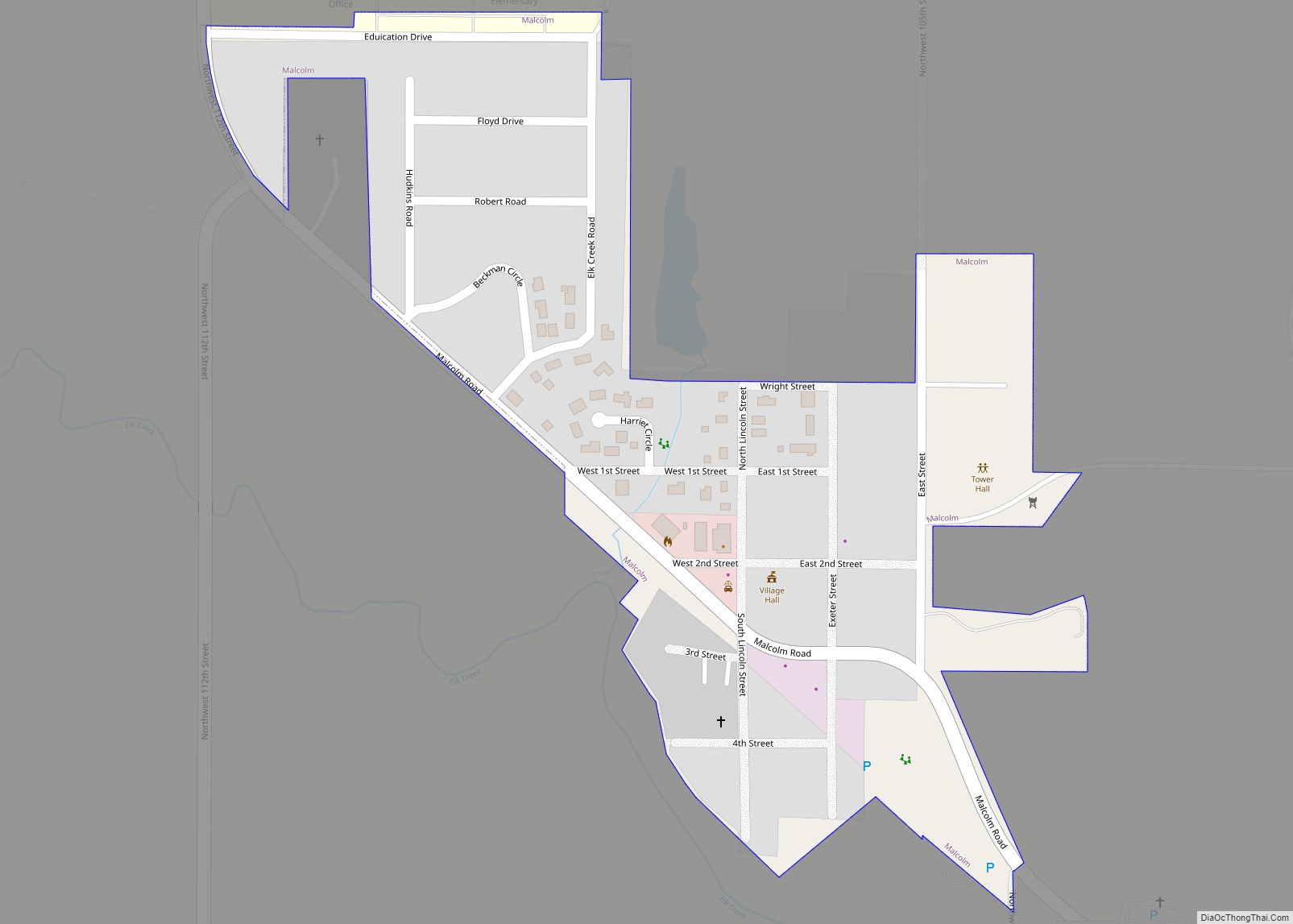
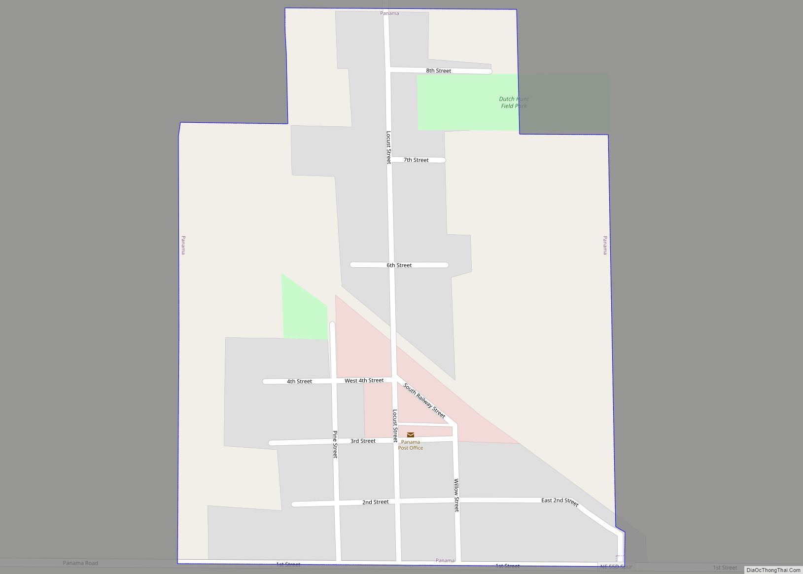
Online Interactive Map
Click on ![]() to view map in "full screen" mode.
to view map in "full screen" mode.
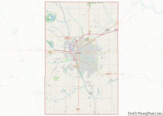
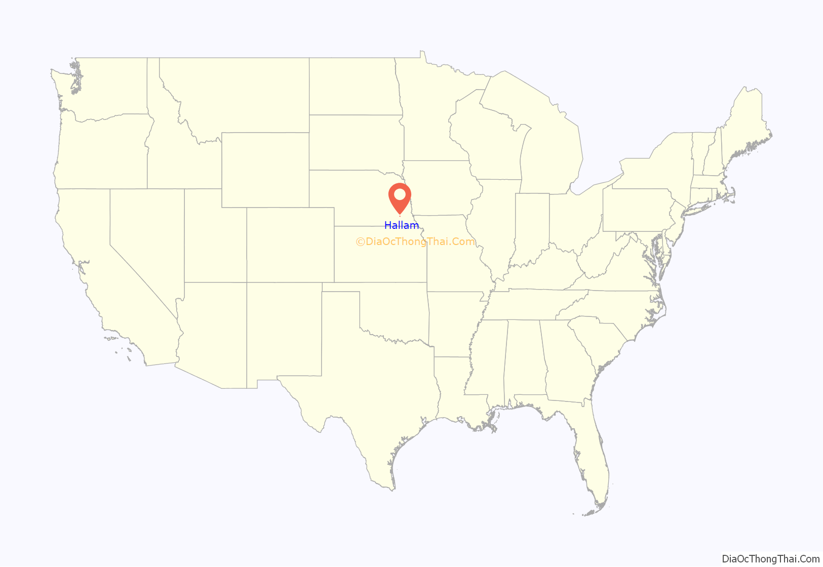
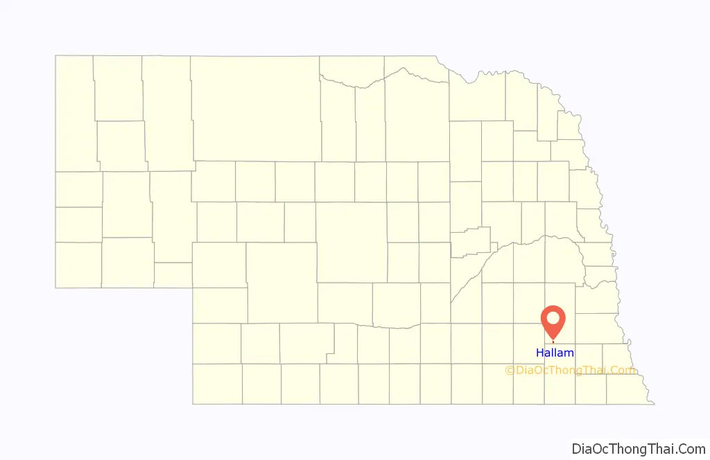
Hallam location map. Where is Hallam village?
History
Hallam was platted in 1892 when the Chicago, Rock Island and Pacific Railroad was extended to that point. The land was sold by Frederick Schneider, who was asked to name the village. However, Schneider’s proposals were already names of towns in Nebraska, so the first landowner in the village, Jacob Schadd, was given the honor of naming the settlement. Schadd suggested Hallau, after his hometown in Switzerland. However, due to a transcription error at the post office, the name was recorded as Hallam rather than Hallau, similar to the error which altered Norfork, Nebraska, to Norfolk, Nebraska.
Mrs. Maggie Classen owned several lots in Hallam, unusual for a woman in the 1890s, upon which were built the telephone office and a doctor’s office. By the early 1900s, Hallam featured a bank, a hardware store, a dry goods store, a shoe shop, a druggist, a livery barn, and a doctor.
In 1962, the second nuclear power plant in the United States was completed in Hallam. However, the plant only produced nuclear power for approximately one year before being converted to coal power.
2004 tornado
On May 22, 2004, Hallam was struck by an F4 tornado, which killed one person, injured nearly 40 more, and destroyed most of the town. The tornado’s path was 2.5 miles (4.0 km) wide, making it the widest tornado on record at the time. That record was broken on May 31, 2013 by the 2.6 mile-wide EF3 wedge tornado that hit El Reno, Oklahoma.
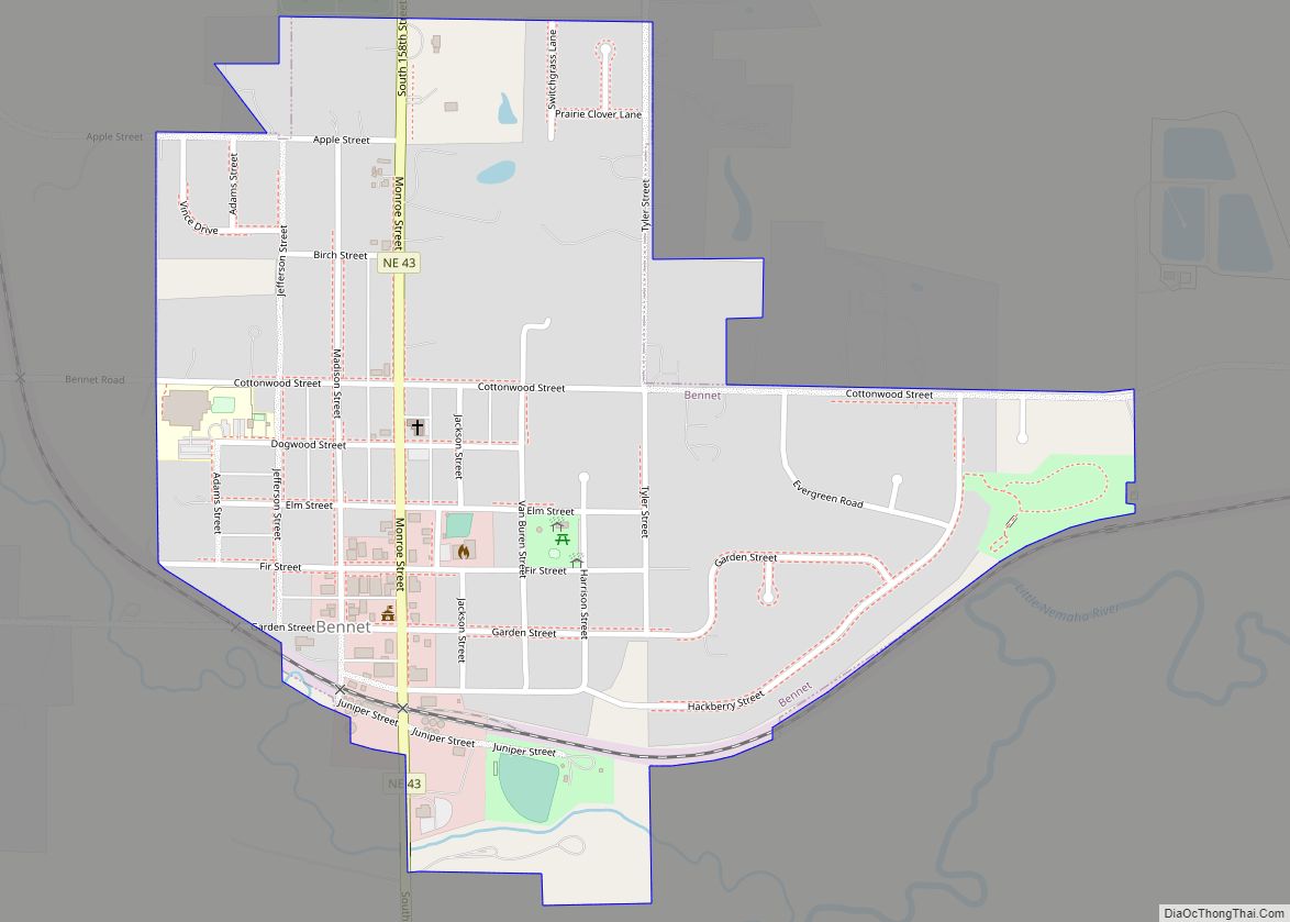
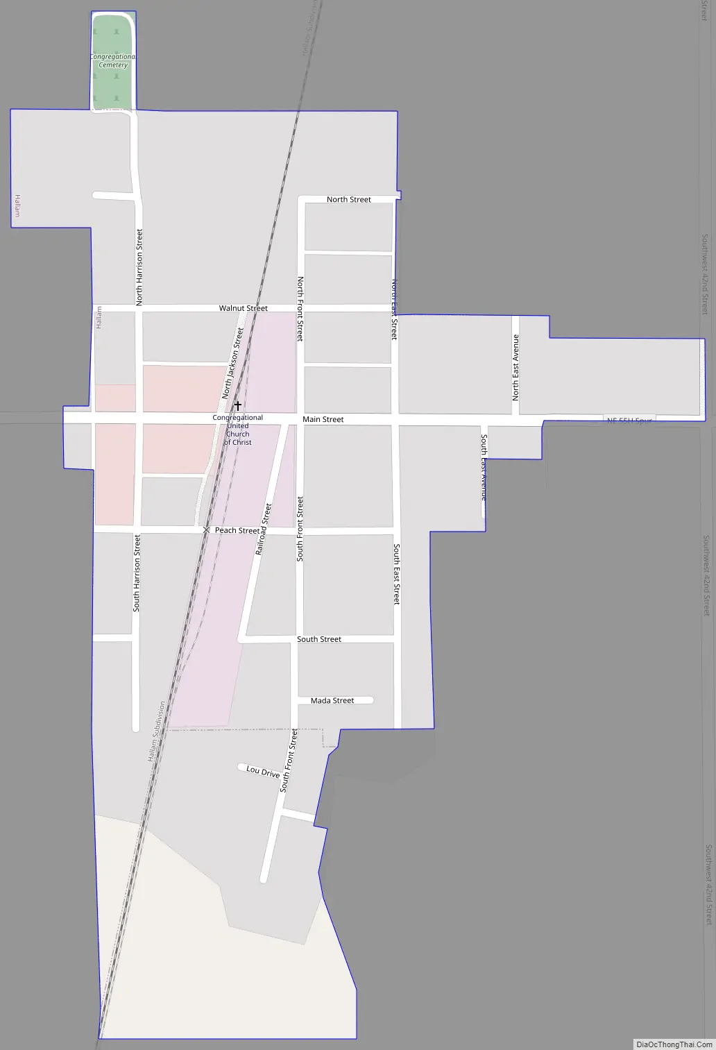
Hallam Road Map
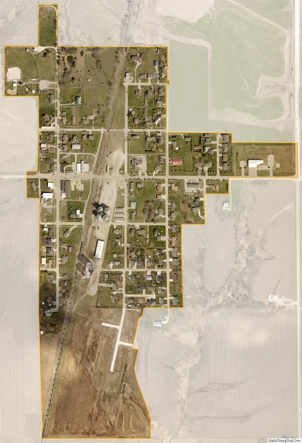
Hallam city Satellite Map
Geography
According to the United States Census Bureau, the village has a total area of 0.17 square miles (0.44 km), all land.
See also
Map of Nebraska State and its subdivision:- Adams
- Antelope
- Arthur
- Banner
- Blaine
- Boone
- Box Butte
- Boyd
- Brown
- Buffalo
- Burt
- Butler
- Cass
- Cedar
- Chase
- Cherry
- Cheyenne
- Clay
- Colfax
- Cuming
- Custer
- Dakota
- Dawes
- Dawson
- Deuel
- Dixon
- Dodge
- Douglas
- Dundy
- Fillmore
- Franklin
- Frontier
- Furnas
- Gage
- Garden
- Garfield
- Gosper
- Grant
- Greeley
- Hall
- Hamilton
- Harlan
- Hayes
- Hitchcock
- Holt
- Hooker
- Howard
- Jefferson
- Johnson
- Kearney
- Keith
- Keya Paha
- Kimball
- Knox
- Lancaster
- Lincoln
- Logan
- Loup
- Madison
- McPherson
- Merrick
- Morrill
- Nance
- Nemaha
- Nuckolls
- Otoe
- Pawnee
- Perkins
- Phelps
- Pierce
- Platte
- Polk
- Red Willow
- Richardson
- Rock
- Saline
- Sarpy
- Saunders
- Scotts Bluff
- Seward
- Sheridan
- Sherman
- Sioux
- Stanton
- Thayer
- Thomas
- Thurston
- Valley
- Washington
- Wayne
- Webster
- Wheeler
- York
- Alabama
- Alaska
- Arizona
- Arkansas
- California
- Colorado
- Connecticut
- Delaware
- District of Columbia
- Florida
- Georgia
- Hawaii
- Idaho
- Illinois
- Indiana
- Iowa
- Kansas
- Kentucky
- Louisiana
- Maine
- Maryland
- Massachusetts
- Michigan
- Minnesota
- Mississippi
- Missouri
- Montana
- Nebraska
- Nevada
- New Hampshire
- New Jersey
- New Mexico
- New York
- North Carolina
- North Dakota
- Ohio
- Oklahoma
- Oregon
- Pennsylvania
- Rhode Island
- South Carolina
- South Dakota
- Tennessee
- Texas
- Utah
- Vermont
- Virginia
- Washington
- West Virginia
- Wisconsin
- Wyoming