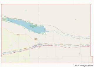
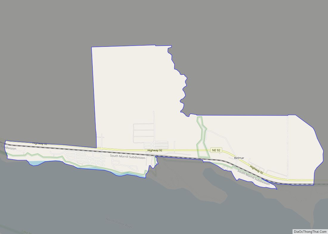
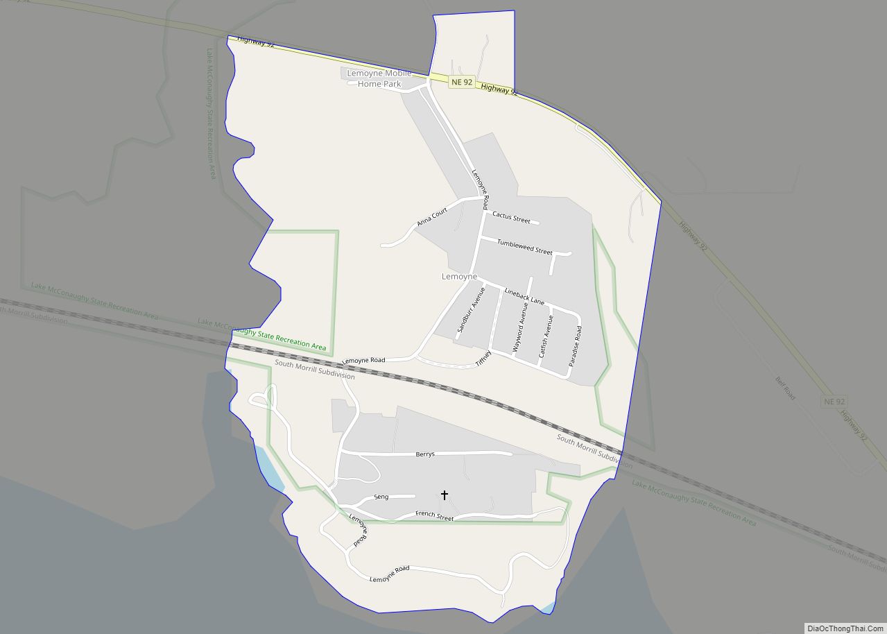
Lemoyne is an unincorporated community and census-designated place in northwestern Keith County, Nebraska, United States. As of the 2010 census it had a population of 82.
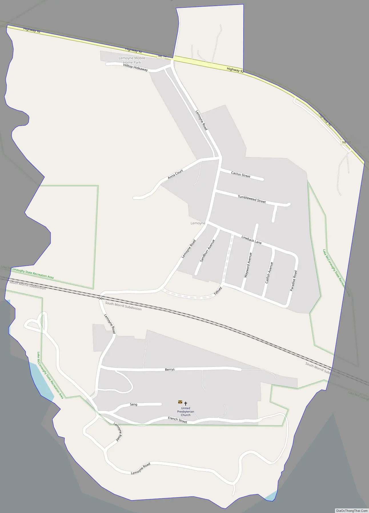
It lies along Nebraska Highway 92 on the northern shore of Lake C.W. McConaughy, 20 miles (32 km) by road north of the city of Ogallala, the county seat of Keith County. Its elevation is 3,333 feet (1,016 m) above sea level. Although Lemoyne is unincorporated, it has a post office, with the ZIP code of 69146.
| Name: | Lemoyne CDP |
|---|---|
| LSAD Code: | 57 |
| LSAD Description: | CDP (suffix) |
| State: | Nebraska |
| County: | Keith County |
| Founded: | 1911 |
| Elevation: | 3,333 ft (1,016 m) |
| Total Area: | 0.51 sq mi (1.32 km²) |
| Land Area: | 0.51 sq mi (1.32 km²) |
| Water Area: | 0.00 sq mi (0.00 km²) |
| Total Population: | 44 |
| Population Density: | 86.27/sq mi (33.33/km²) |
| ZIP code: | 69146 |
| FIPS code: | 3126595 |
| GNISfeature ID: | 830676 |
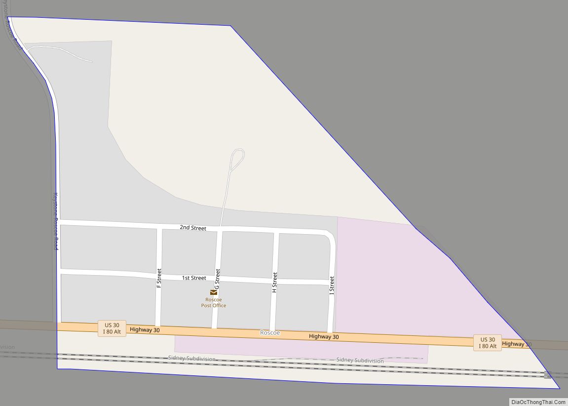
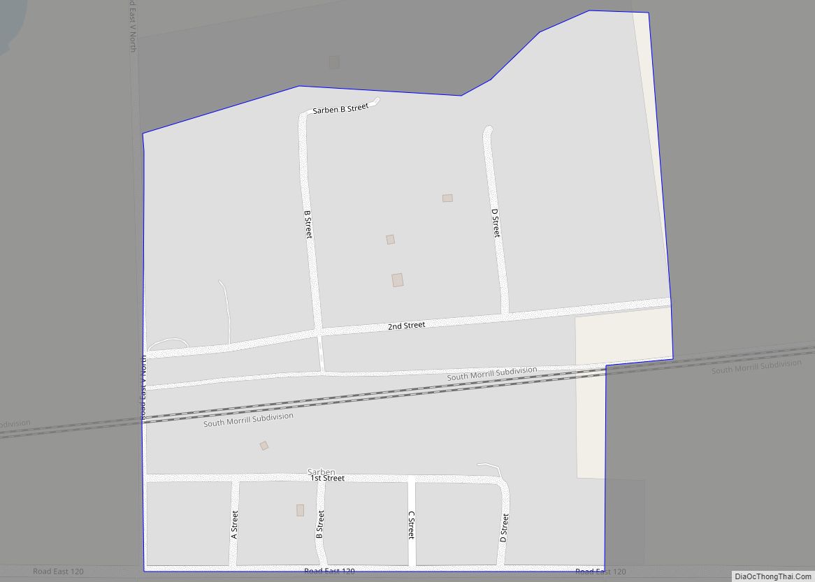
Online Interactive Map
Click on ![]() to view map in "full screen" mode.
to view map in "full screen" mode.
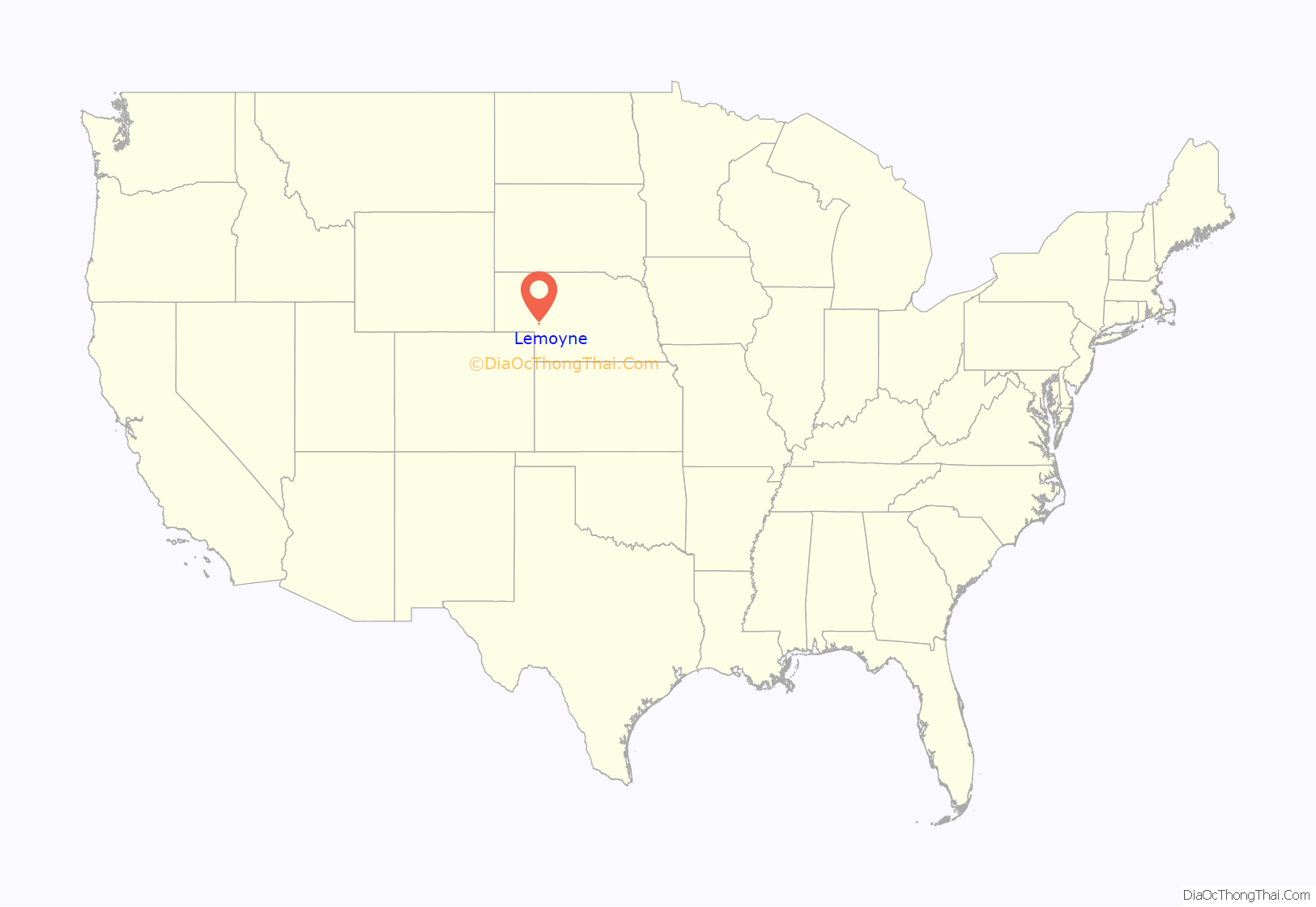
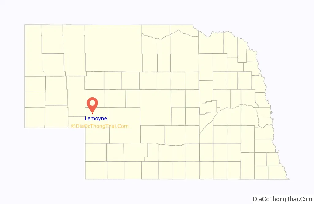
Lemoyne location map. Where is Lemoyne CDP?
History
Founding
In 1909, the Union Pacific Railroad completed a branch line through the North Platte Valley. Lemoyne Jacobs, a local landowner, had strongly petitioned Union Pacific to build the line and later allowed the railroad to build it through his property. In 1911, the town of Lemoyne was surveyed and named in honor of Jacobs’ active role in bringing the railroad to the area.
The town grew steadily throughout the early 1900s. In 1915, the Lemoyne School District was formed for 19 enrolled students. The following year the Western Bridge Construction Company built a bridge across the nearby North Platte River with bond money. In 1918, local businessmen invested $3,500, roughly $59,000 today, to build a hotel in the town. By 1924, the town had a population of 200 residents, served by Bethany Presbyterian Church (1919) and an expanded school.
Relocation
In 1935, a diversion dam was built near Keystone, Nebraska. By 1937, residents of Lemoyne were informed that they must relocate out of the area to make way for Lake McConaughy. While some residents attempted to prevent the creation of the lake, the town was eventually relocated. Beginning in 1937, buildings in Lemoyne were dismantled, hauled to the hills north of the town’s original site, and reconstructed. By 1941, the physical structures of the town were removed and the site was submerged under 50 feet (15 m) of water.
The new town was initially named “New Lemoyne”, but the name eventually reverted to simply “Lemoyne”. After the relocation, some residents chose to move elsewhere, and the community did not continue the pattern of growth it had enjoyed in its earlier history.
In 2004, severe drought depleted the waters of Lake McConaughy to 350,000 acre feet of water. This drop in water was enough to expose the foundations of the original town site for the first time in 63 years.
Lemoyne Road Map
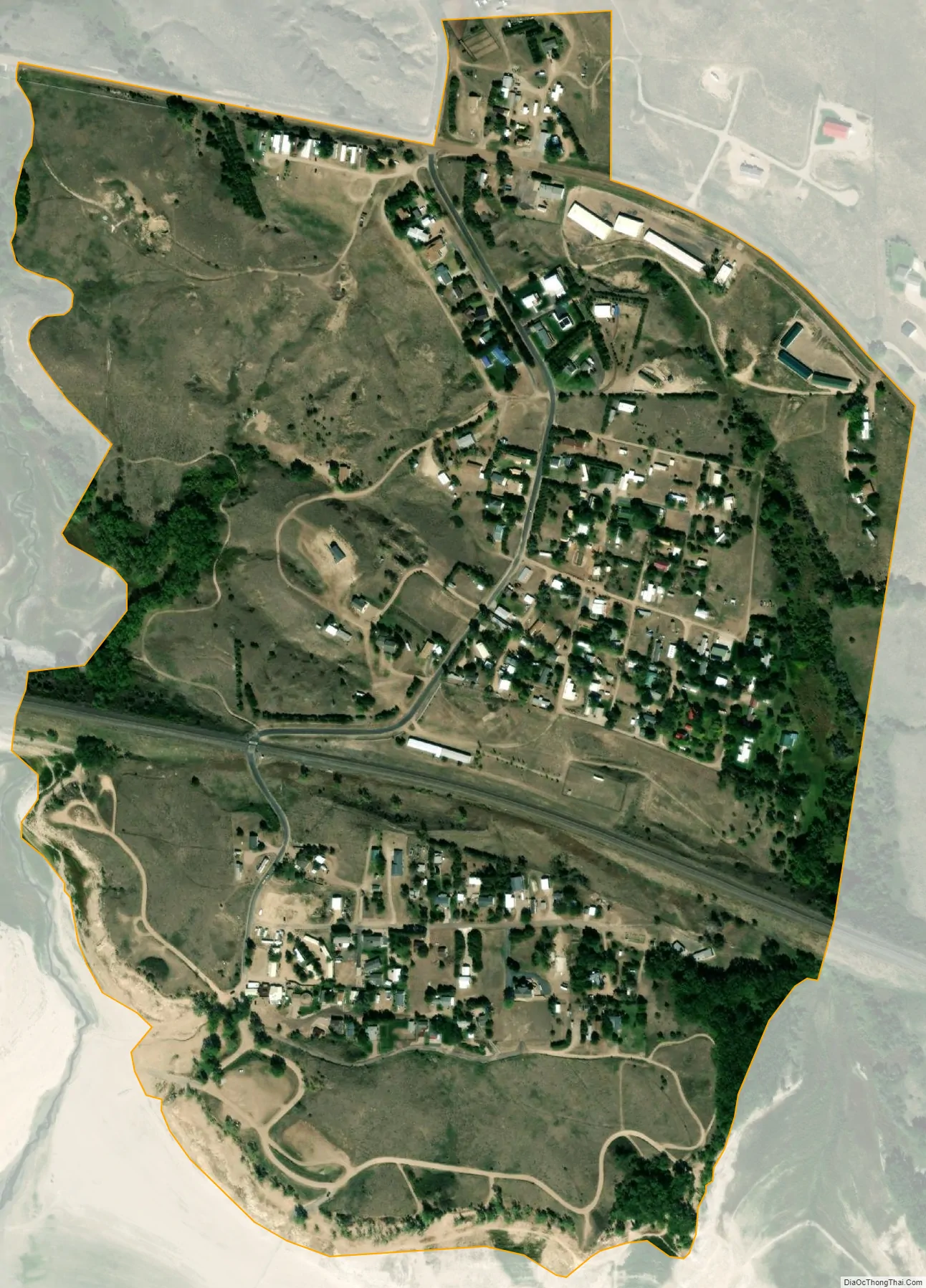
Lemoyne city Satellite Map
See also
Map of Nebraska State and its subdivision:- Adams
- Antelope
- Arthur
- Banner
- Blaine
- Boone
- Box Butte
- Boyd
- Brown
- Buffalo
- Burt
- Butler
- Cass
- Cedar
- Chase
- Cherry
- Cheyenne
- Clay
- Colfax
- Cuming
- Custer
- Dakota
- Dawes
- Dawson
- Deuel
- Dixon
- Dodge
- Douglas
- Dundy
- Fillmore
- Franklin
- Frontier
- Furnas
- Gage
- Garden
- Garfield
- Gosper
- Grant
- Greeley
- Hall
- Hamilton
- Harlan
- Hayes
- Hitchcock
- Holt
- Hooker
- Howard
- Jefferson
- Johnson
- Kearney
- Keith
- Keya Paha
- Kimball
- Knox
- Lancaster
- Lincoln
- Logan
- Loup
- Madison
- McPherson
- Merrick
- Morrill
- Nance
- Nemaha
- Nuckolls
- Otoe
- Pawnee
- Perkins
- Phelps
- Pierce
- Platte
- Polk
- Red Willow
- Richardson
- Rock
- Saline
- Sarpy
- Saunders
- Scotts Bluff
- Seward
- Sheridan
- Sherman
- Sioux
- Stanton
- Thayer
- Thomas
- Thurston
- Valley
- Washington
- Wayne
- Webster
- Wheeler
- York
- Alabama
- Alaska
- Arizona
- Arkansas
- California
- Colorado
- Connecticut
- Delaware
- District of Columbia
- Florida
- Georgia
- Hawaii
- Idaho
- Illinois
- Indiana
- Iowa
- Kansas
- Kentucky
- Louisiana
- Maine
- Maryland
- Massachusetts
- Michigan
- Minnesota
- Mississippi
- Missouri
- Montana
- Nebraska
- Nevada
- New Hampshire
- New Jersey
- New Mexico
- New York
- North Carolina
- North Dakota
- Ohio
- Oklahoma
- Oregon
- Pennsylvania
- Rhode Island
- South Carolina
- South Dakota
- Tennessee
- Texas
- Utah
- Vermont
- Virginia
- Washington
- West Virginia
- Wisconsin
- Wyoming