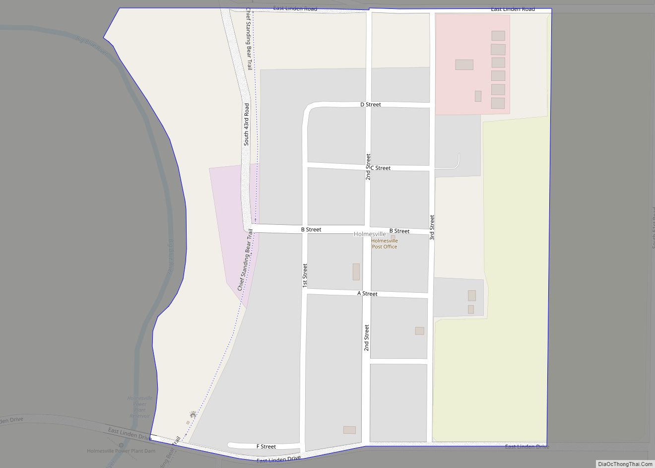
Liberty is a village in Gage County, Nebraska, United States. The population was 37 at the 2020 census.
| Name: | Liberty village |
|---|---|
| LSAD Code: | 47 |
| LSAD Description: | village (suffix) |
| State: | Nebraska |
| County: | Gage County |
| Elevation: | 1,306 ft (398 m) |
| Total Area: | 0.25 sq mi (0.64 km²) |
| Land Area: | 0.25 sq mi (0.64 km²) |
| Water Area: | 0.00 sq mi (0.00 km²) |
| Total Population: | 37 |
| Population Density: | 149.80/sq mi (57.94/km²) |
| ZIP code: | 68381 |
| Area code: | 402 |
| FIPS code: | 3126980 |
| GNISfeature ID: | 2398434 |
Online Interactive Map
Click on ![]() to view map in "full screen" mode.
to view map in "full screen" mode.
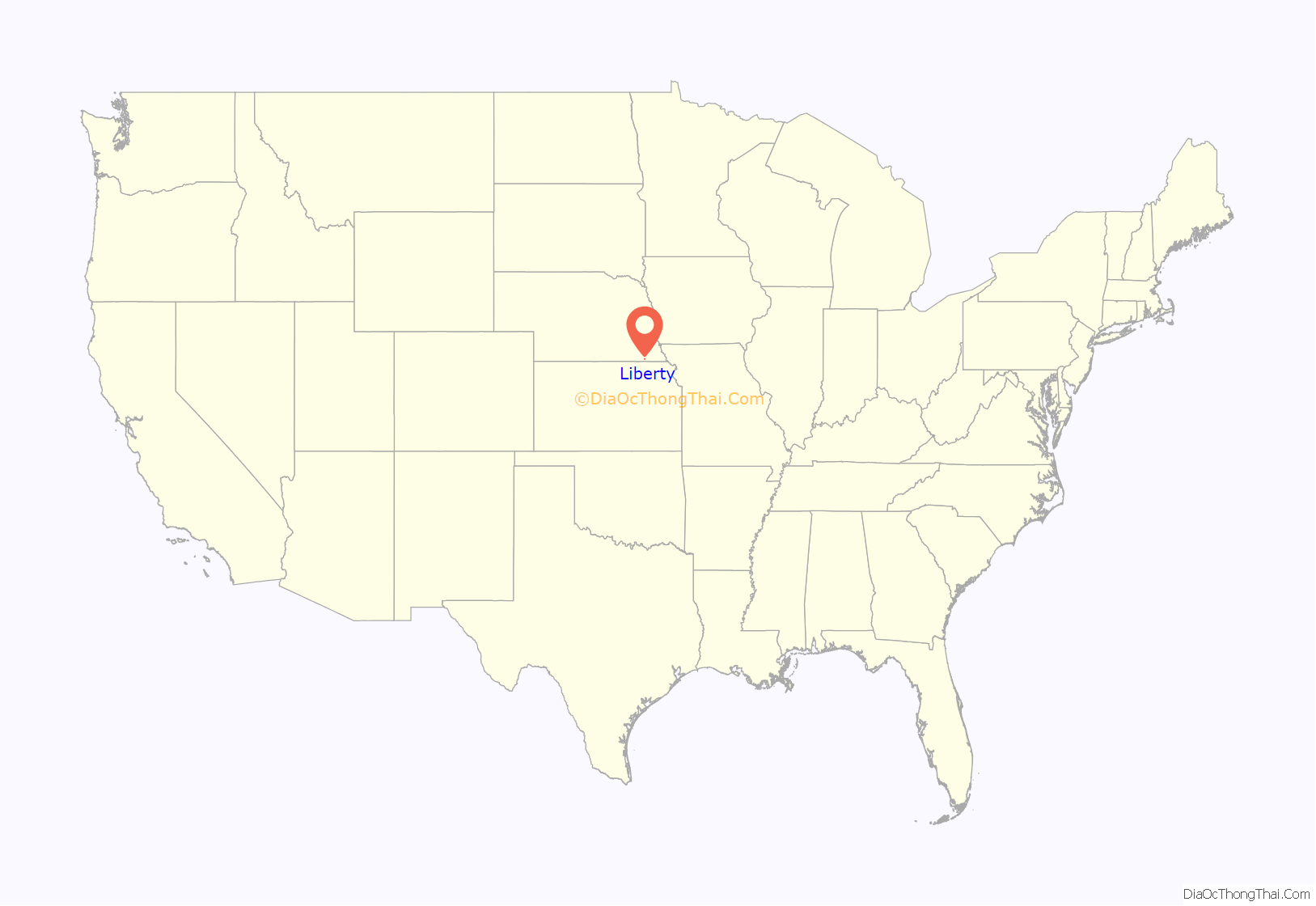
Liberty location map. Where is Liberty village?
History
The area that would eventually become Liberty was being settled by whites as early as 1855. The town itself was founded by early settler David Palmer (1838-1876), who ran a trading post in the area. Palmer drowned in a nearby river and was buried in the Liberty Cemetery. The town also grew from the influx of railroad laborers who built the tracks that went through the village. In its heyday in 1890, Liberty had a population of 469, enough to support three grocery stores, a meat market, a livery, a dry goods store, a hotel, a law office, a hardware store, an undertaker, a lumber yard and barbershops, and its own newspaper, The Liberty Journal. But the money panic of 1893 hit the village particularly hard, and it never recovered from the shock of many farmers selling what they could and leaving town.
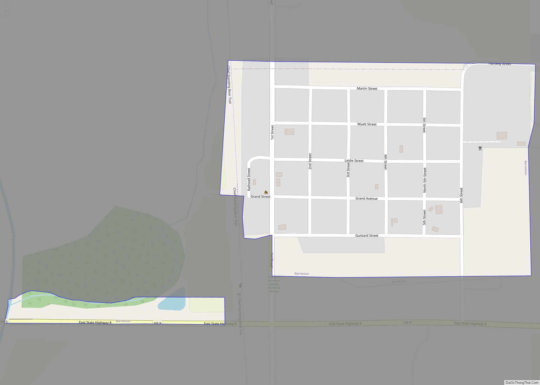
Liberty Road Map
Liberty city Satellite Map
Geography
According to the United States Census Bureau, the village has a total area of 0.25 square miles (0.65 km), all land.
See also
Map of Nebraska State and its subdivision:- Adams
- Antelope
- Arthur
- Banner
- Blaine
- Boone
- Box Butte
- Boyd
- Brown
- Buffalo
- Burt
- Butler
- Cass
- Cedar
- Chase
- Cherry
- Cheyenne
- Clay
- Colfax
- Cuming
- Custer
- Dakota
- Dawes
- Dawson
- Deuel
- Dixon
- Dodge
- Douglas
- Dundy
- Fillmore
- Franklin
- Frontier
- Furnas
- Gage
- Garden
- Garfield
- Gosper
- Grant
- Greeley
- Hall
- Hamilton
- Harlan
- Hayes
- Hitchcock
- Holt
- Hooker
- Howard
- Jefferson
- Johnson
- Kearney
- Keith
- Keya Paha
- Kimball
- Knox
- Lancaster
- Lincoln
- Logan
- Loup
- Madison
- McPherson
- Merrick
- Morrill
- Nance
- Nemaha
- Nuckolls
- Otoe
- Pawnee
- Perkins
- Phelps
- Pierce
- Platte
- Polk
- Red Willow
- Richardson
- Rock
- Saline
- Sarpy
- Saunders
- Scotts Bluff
- Seward
- Sheridan
- Sherman
- Sioux
- Stanton
- Thayer
- Thomas
- Thurston
- Valley
- Washington
- Wayne
- Webster
- Wheeler
- York
- Alabama
- Alaska
- Arizona
- Arkansas
- California
- Colorado
- Connecticut
- Delaware
- District of Columbia
- Florida
- Georgia
- Hawaii
- Idaho
- Illinois
- Indiana
- Iowa
- Kansas
- Kentucky
- Louisiana
- Maine
- Maryland
- Massachusetts
- Michigan
- Minnesota
- Mississippi
- Missouri
- Montana
- Nebraska
- Nevada
- New Hampshire
- New Jersey
- New Mexico
- New York
- North Carolina
- North Dakota
- Ohio
- Oklahoma
- Oregon
- Pennsylvania
- Rhode Island
- South Carolina
- South Dakota
- Tennessee
- Texas
- Utah
- Vermont
- Virginia
- Washington
- West Virginia
- Wisconsin
- Wyoming
